Decatur County is a county in the U.S. state of Indiana. As of the 2020 United States Census, the population was 26,472. The county seat (and only incorporated city) is Greensburg.
| Name: | Decatur County |
|---|---|
| FIPS code: | 18-031 |
| State: | Indiana |
| Founded: | 12 December 1821 (authorized) 1822 (organized) |
| Named for: | Stephen Decatur, Jr. |
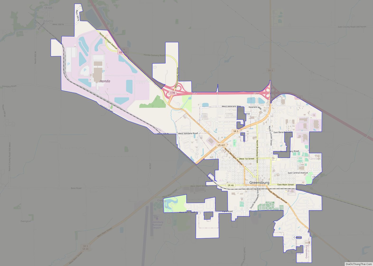
| Seat: | Greensburg |
| Largest city: | Greensburg |
| Total Area: | 373.32 sq mi (966.9 km²) |
| Land Area: | 372.57 sq mi (965.0 km²) |
| Total Population: | 26,472 |
| Population Density: | 71.9/sq mi (27.8/km²) |
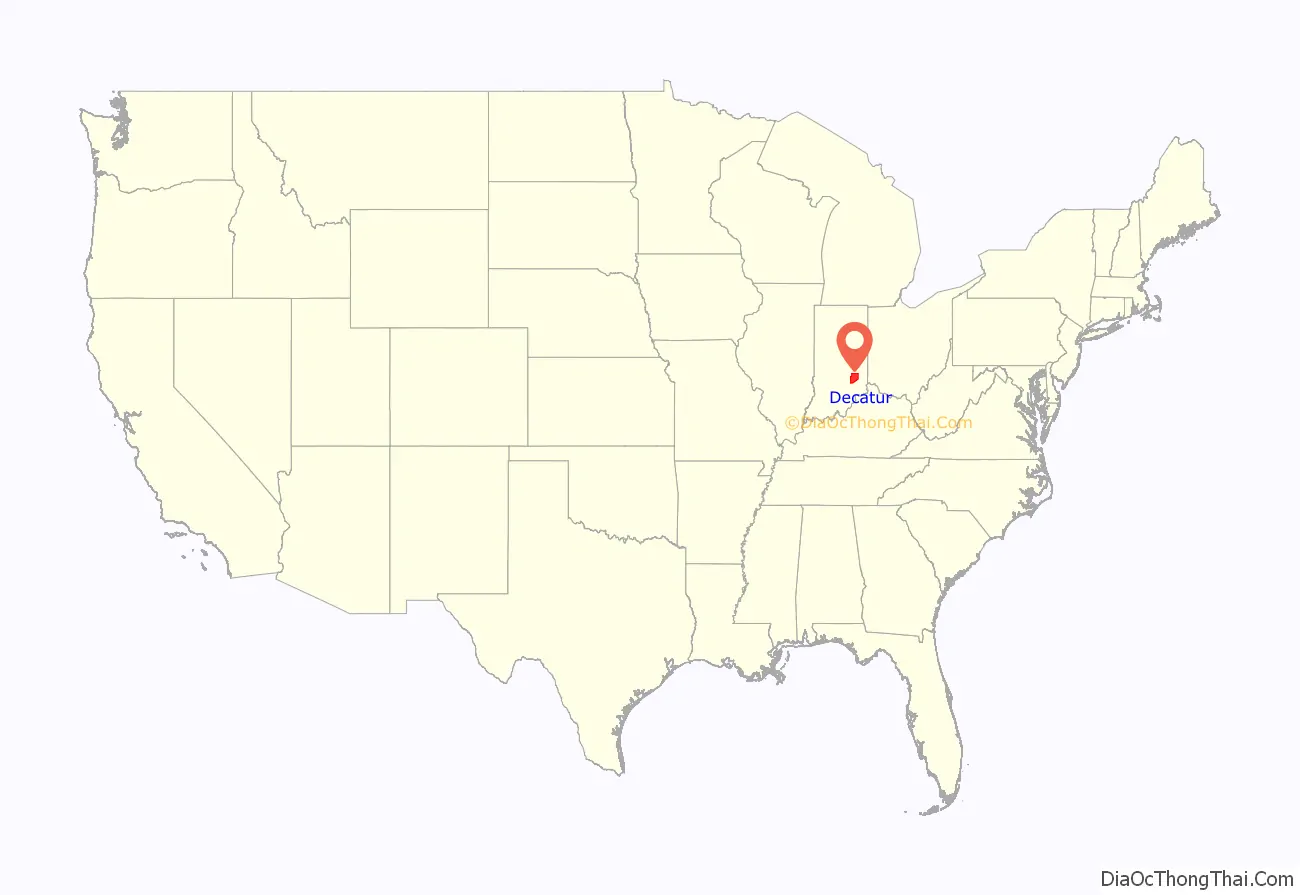
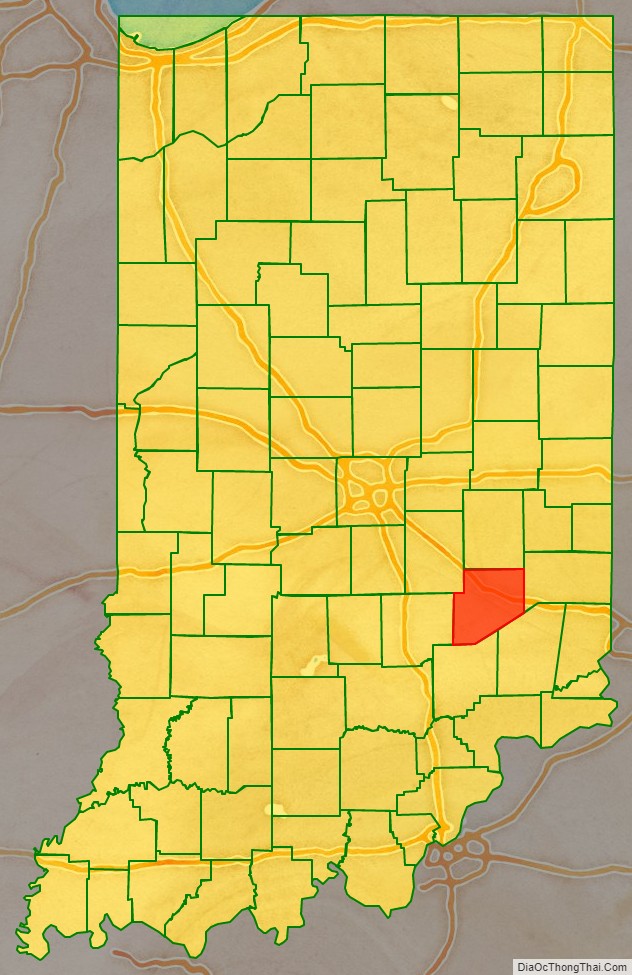
Decatur County location map. Where is Decatur County?
History
In 1787, the US defined the Northwest Territory which included the area of present-day Indiana. In 1800, Congress separated Ohio from the Northwest Territory, designating the rest of the land as the Indiana Territory. President Thomas Jefferson chose William Henry Harrison as the governor of the territory, and Vincennes was established as the capital. After the Michigan Territory was separated and the Illinois Territory was formed, Indiana was reduced to its current size and geography. By December 1816 the Indiana Territory was admitted to the Union as a state.
Starting in 1794, Native American titles to Indiana lands were extinguished by usurpation, purchase, or war and treaty. The United States acquired land from the Native Americans in the 1809 treaty of Fort Wayne, and by the treaty of St. Mary’s in 1818 considerably more territory became property of the government. This included the future Decatur County, which was authorized by the state legislature on 12 December 1821. No settler was allowed in the area until the government survey was completed in 1820.
The Decatur County governing structure was formed in 1822. The county was named for Commodore Stephen Decatur, Jr., naval officer in the First and Second Barbary Wars, and in the War of 1812. Decatur was killed in a duel in 1820.
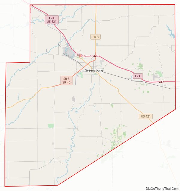
Decatur County Road Map
Geography
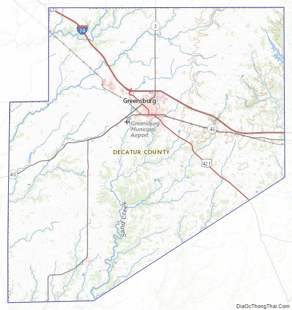
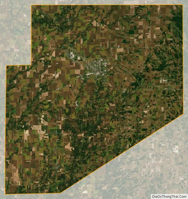
The low rolling hills are devoted to agriculture or urban development, with only the areas carved by drainages still wooded. The highest point (1,097 feet/334 meters ASL) is a hillock 0.8 miles (1.3 km) SSE from Kingston. The Flatrock River flows westward through the upper part of the county, continuing into Shelby County. Clifty Creek flows southwestward through the central part of the county, continuing into Bartholomew, and Sand Creek flows south-southwestward through the lower center of the county, continuing into Jennings County.
According to the 2010 census, the county has a total area of 373.32 square miles (966.9 km), of which 372.57 square miles (965.0 km) (or 99.80%) is land and 0.76 square miles (2.0 km) (or 0.20%) is water.
Adjacent counties
- Rush County – north
- Franklin County – east
- Ripley County – southeast
- Jennings County – south
- Bartholomew County – west
- Shelby County – northwest
City and towns
- Greensburg (city/county seat)
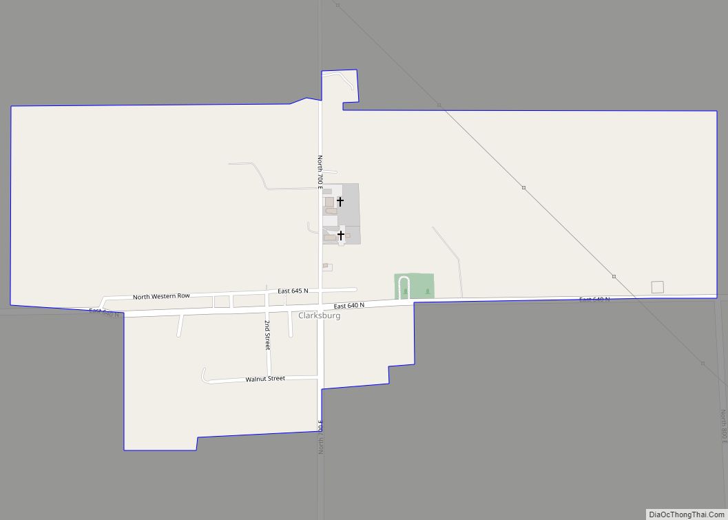
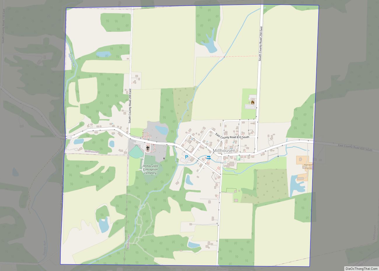
- Millhousen
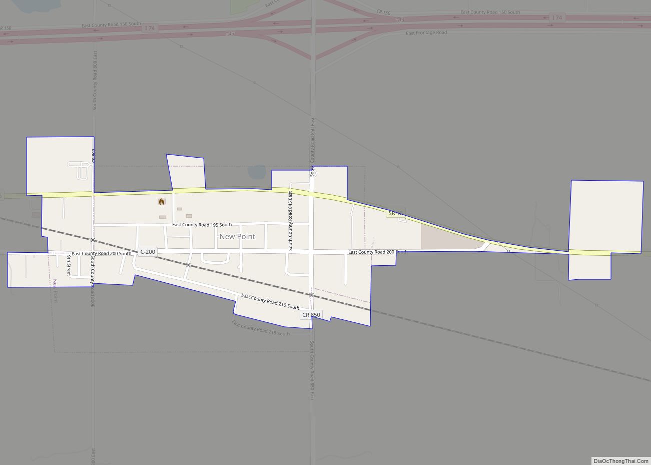
- New Point
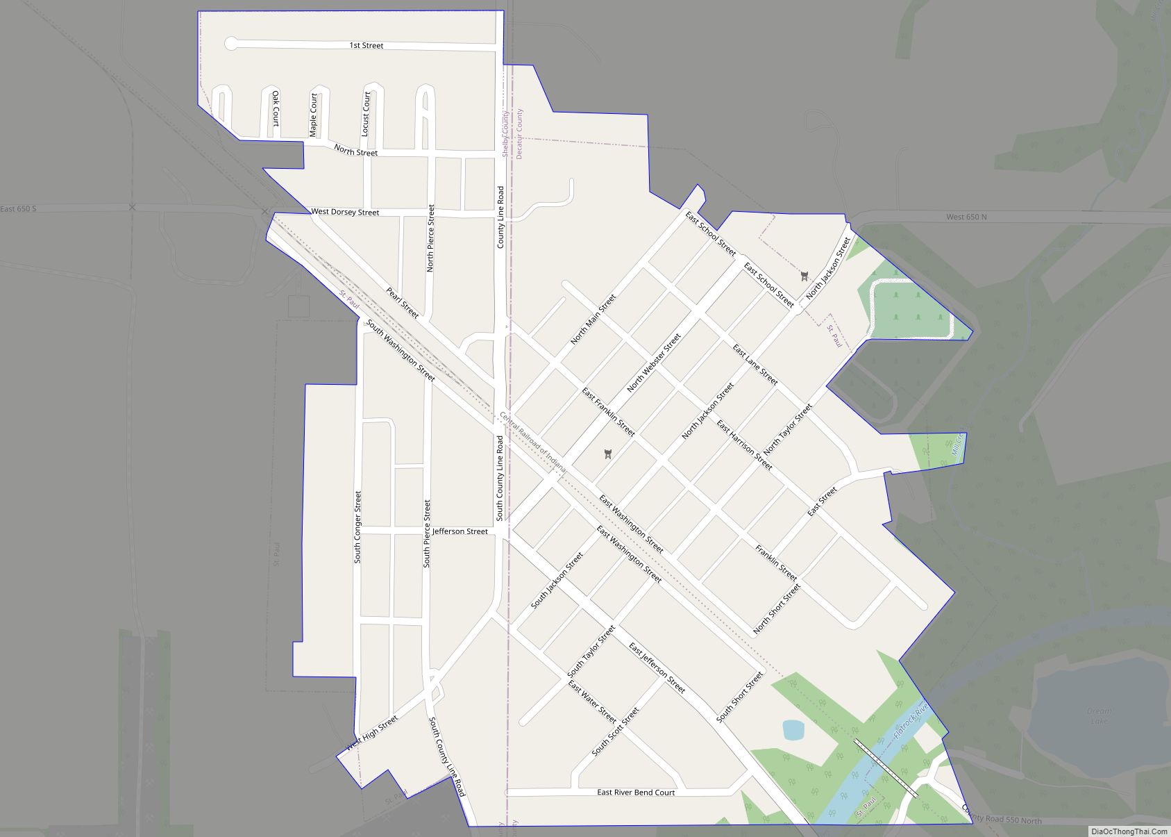
- St. Paul (part)
- Westport
Census-designated places
Unincorporated places
- Adams
- Alert
- Burney
- Craig
- Downeyville
- Ewington
- Forest Hill
- Gaynorsville
- Germantown
- Harper
- Harris City
- Horace
- Kingston
- Knarr Corner
- Letts
- Letts Corner
- McCoy
- Mechanicsburg
- Milford
- New Pennington
- Pinhook
- Rossburg
- Saint Maurice
- Saint Omer
- Sandusky
- Sardinia
- Slabtown
- Smyrna
- Tarkeo Corner
- Waynesburg
- Williamstown
Townships
- Adams
- Clay
- Clinton
- Fugit
- Jackson
- Marion
- Salt Creek
- Sand Creek
- Washington
Major highways
- Interstate 74
- U.S. Route 421
- Indiana State Road 3
- Indiana State Road 46
Protected areas
- Greenburg Reservoir State Fishing Area
Lakes
- Greenburg Reservoir
- Lake McCoy
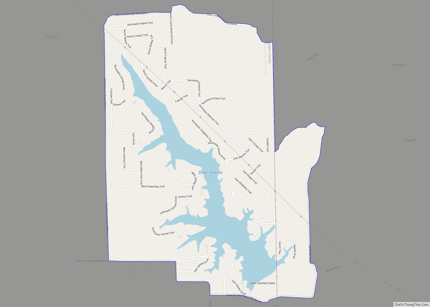
- Lake Santee
Decatur County Topographic Map
Decatur County Satellite Map
Decatur County Outline Map