Schenectady County (/skəˈnɛktədi/) is a county in the U.S. state of New York. As of the 2020 census, the population was 158,061. The county seat is Schenectady. The name is from a Mohawk language word meaning “on the other side of the pine lands,” a term that originally applied to Albany.
Schenectady County is part of the Albany-Schenectady-Troy, NY Metropolitan Statistical Area, and is west of the confluence of the Mohawk with the Hudson River. It includes territory on the north and the south sides of the Mohawk River.
| Name: | Schenectady County |
|---|---|
| FIPS code: | 36-093 |
| State: | New York |
| Founded: | 1809 |
| Seat: | Schenectady |
| Largest city: | Schenectady |
| Total Area: | 209 sq mi (540 km²) |
| Land Area: | 205 sq mi (530 km²) |
| Total Population: | 158,061 |
| Population Density: | 772.3/sq mi (298.2/km²) |
| Time zone: | UTC−5 (Eastern) |
| Summer Time Zone (DST): | UTC−4 (EDT) |
| Website: | www.schenectadycounty.com |
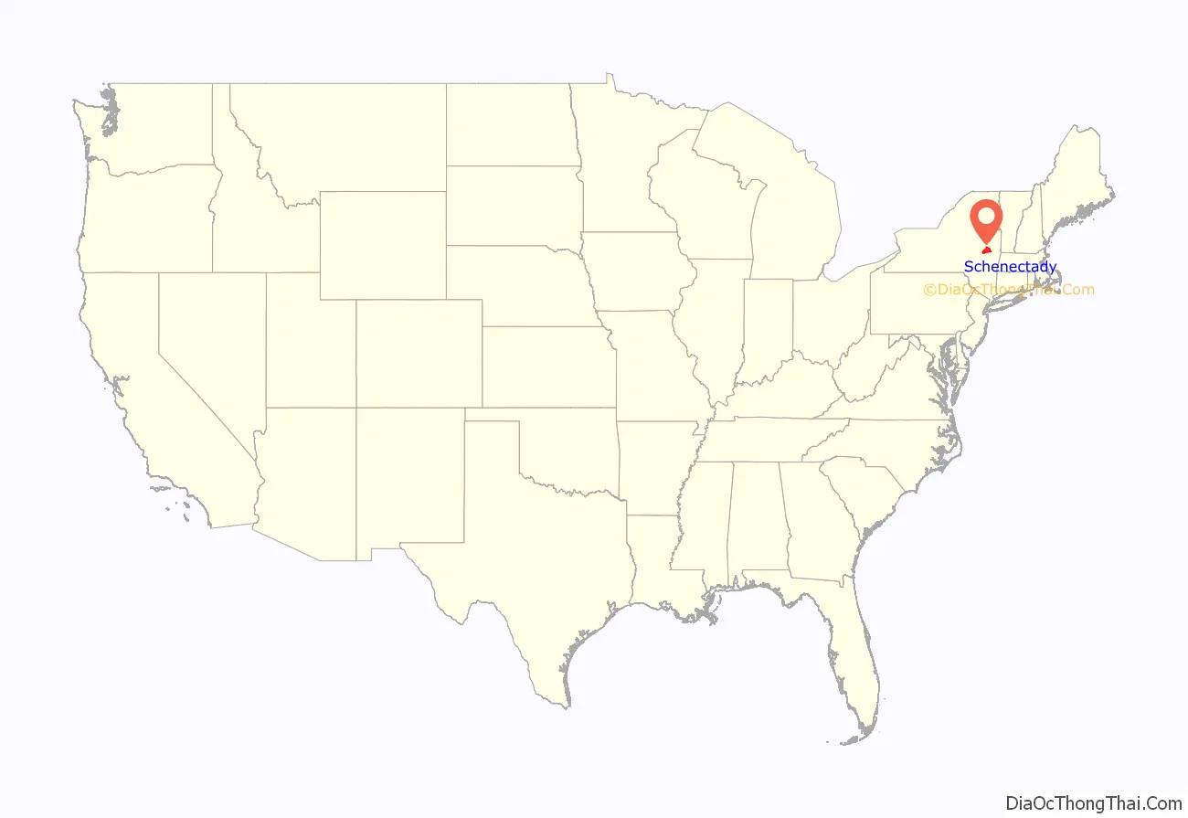
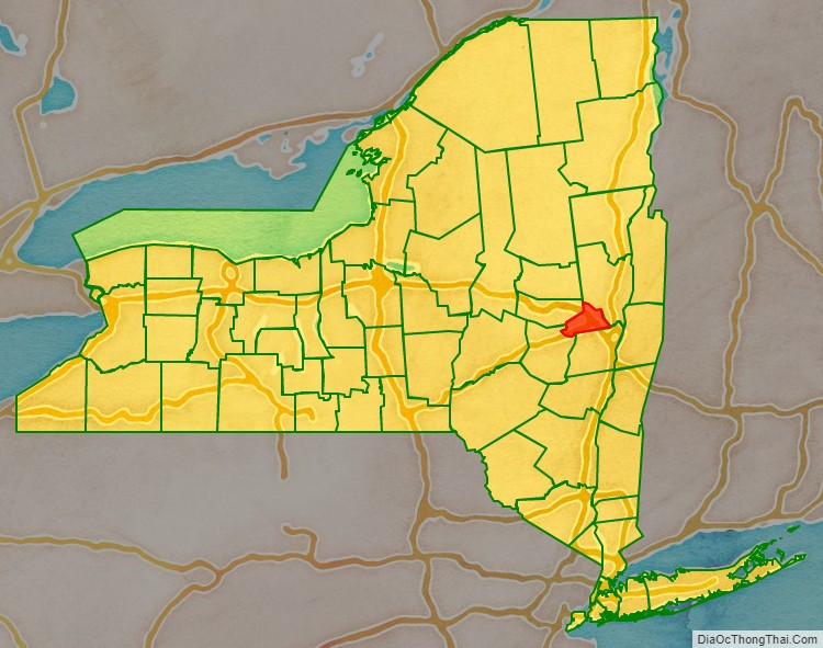
Schenectady County location map. Where is Schenectady County?
History
This area of the river valley was historically occupied by the Mohawk people, the easternmost of the Five Nations comprising the Iroquois Confederacy or Haudenosaunee. They cultivated maize fields in the flats along the Mohawk River and had villages in the hills.
European settlement started in the present-day county by Dutch colonists in the 17th century; the village of Schenectady was founded in 1661. The fur traders in Albany kept a monopoly and prohibited settlers in Schenectady from the trade; those residents mostly became farmers. Other areas of the county were also developed for farming. The English enforced the Albany monopoly on the fur trade when they took over the New Netherland colony in 1664.
The English organized counties in the Province of New York in 1683; the area of the present-day Schenectady County was included in Albany County. Albany County contained an enormous area, including the northern part of New York State as well as all of the present State of Vermont and, in theory, extending westward to the Pacific Ocean. This county was reduced in size on July 3, 1766, by the creation of Cumberland County, and further on March 16, 1770, by the creation of Gloucester County, both containing territory now within the state of Vermont.
On March 12, 1772, Albany County was divided to form two other counties. The area of Schenectady County was still within the reduced Albany.
From 1772 to 1786 Albany County included, besides the present territory of Albany County, all of the present Columbia, Rensselaer, Saratoga, and Schenectady counties, parts of the present Greene and Washington counties, and a piece of what is now southwestern Vermont.
In 1786 Albany County was reduced in size when Columbia County was organized; and again in 1791 by the splitting off of Rensselaer and Saratoga counties and the transfer of the Town of Cambridge to Washington County. It was further reduced in size in 1795 by the splitting off of a part that was combined with a portion of Otsego County to create Schoharie County. It was further reduced in size in 1800 by the splitting off of a part that was combined with a portion of Ulster County to create Greene County.
In 1809, Schenectady County was split from Albany County and has kept its current borders. The city of Schenectady was designated as the county seat and is the only city in the county. Major European immigration began in the mid-19th century, with the arrival of Irish refugees from the Great Famine. More immigrants were attracted to the city for its industrial jobs, including those from Italy and Poland. In the late 19th and early 20th centuries, the city became an industrial powerhouse and center of innovation, the headquarters of General Electric and other national corporations.
The city of Schenectady reached its peak of population in 1930 but the county reached its peak in 1970, according to US Census data (see table below for county data.) These differences reflect different settlement patterns and the development of suburban housing outside the city limits. The city of Schenectady lost many jobs and population in the late 20th century due to industrial and railroad restructuring; some people stayed in the county working at alternative positions, including commuting to the capital of Albany.
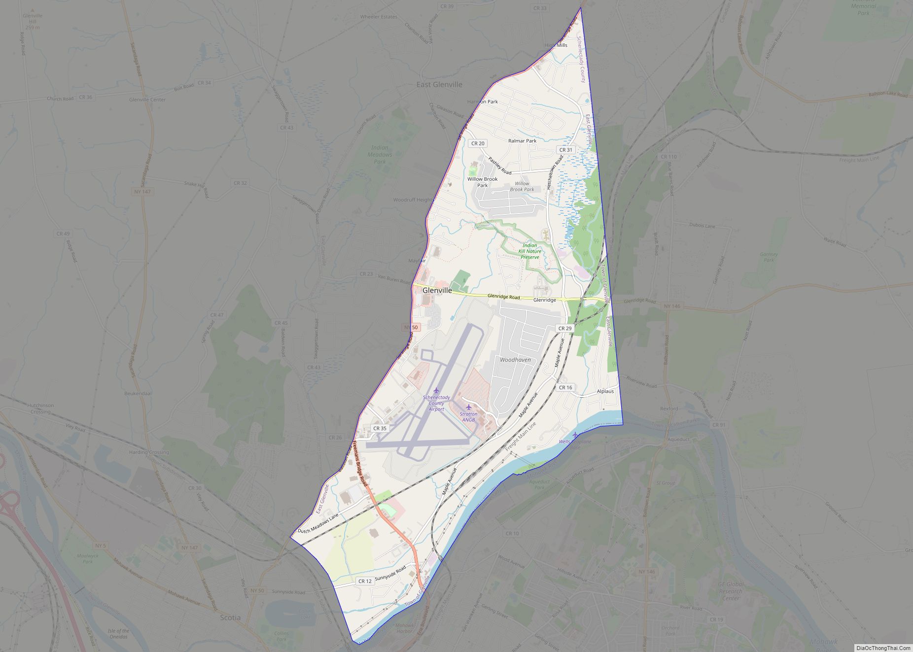
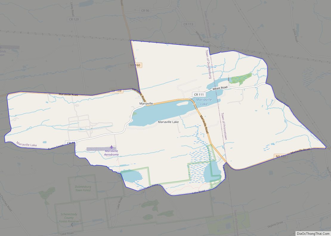
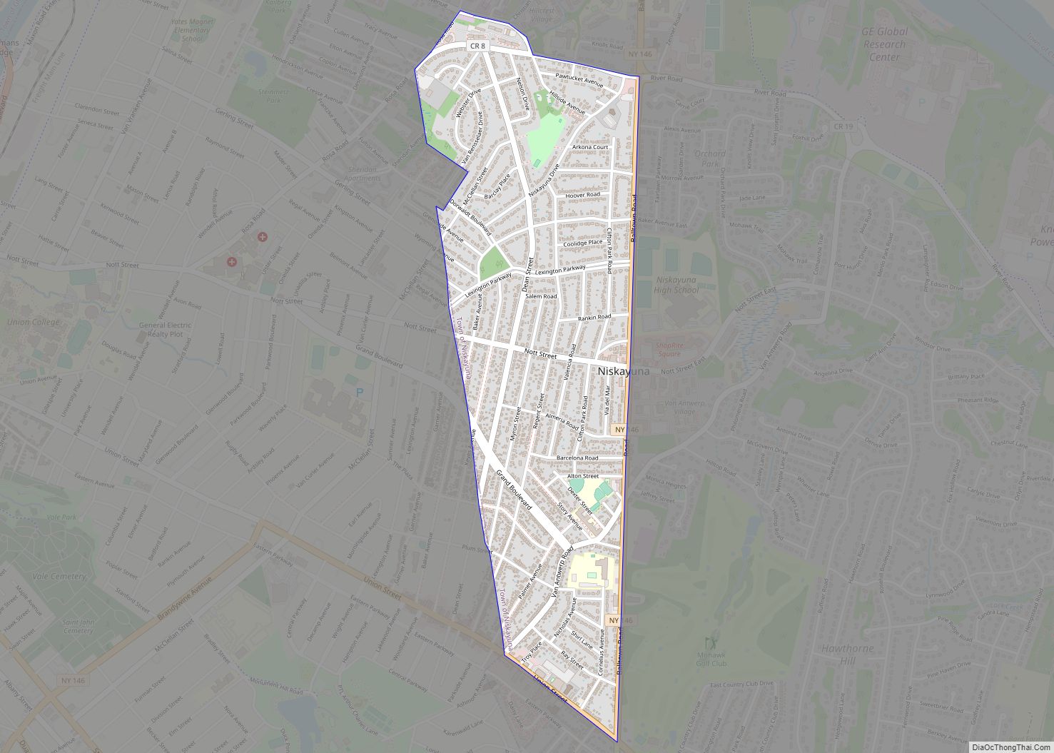
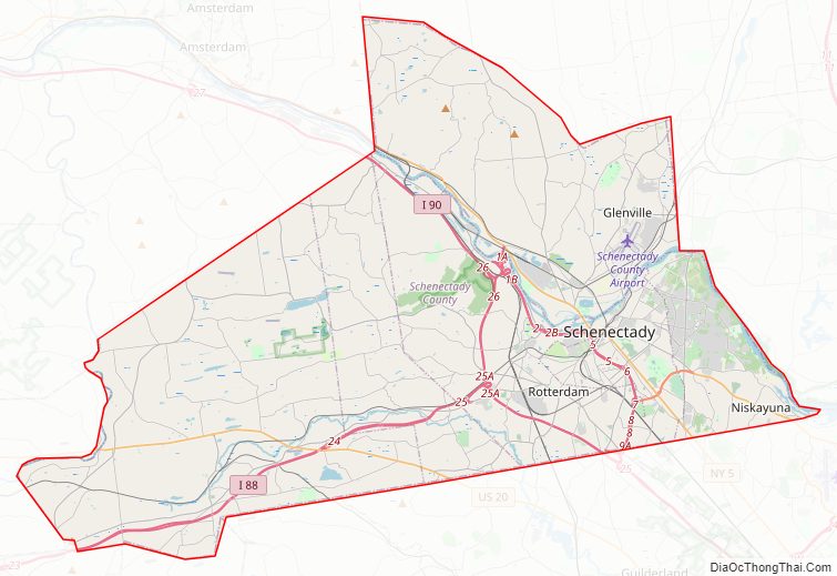
Schenectady County Road Map
Geography
According to the U.S. Census Bureau, the county has a total area of 209 square miles (540 km), of which 205 square miles (530 km) is land and 4.9 square miles (13 km) (2.3%) is water.
Schenectady County is located in east central New York State, northwest of Albany, an area usually considered “Upstate”.
Adjacent counties
- Saratoga County – northeast
- Albany County – southeast
- Schoharie County – southwest
- Montgomery County – west
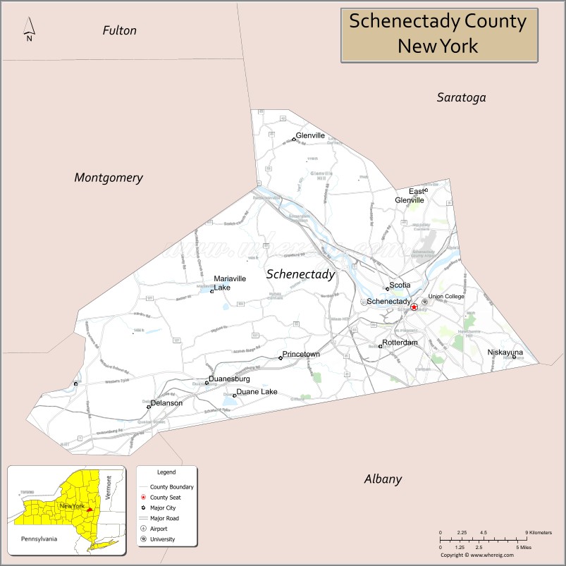
Schenectady County Topographic Map

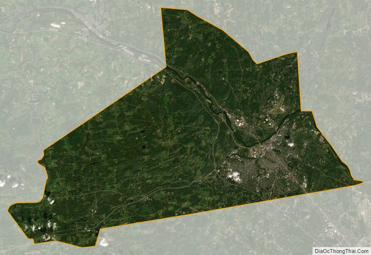
Schenectady County Satellite Map
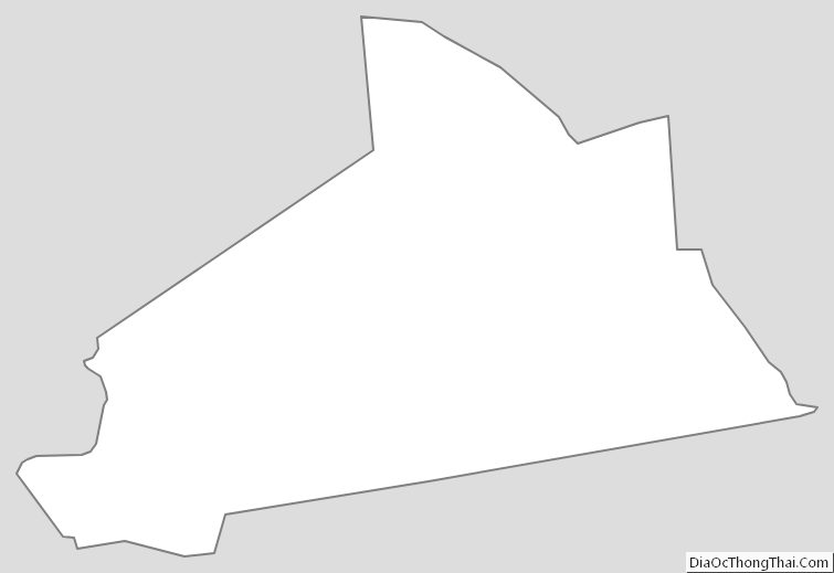
Schenectady County Outline Map