Otsego County is a county in the U.S. state of New York. As of the 2020 census, the population was 58,524. The county seat is Cooperstown. The county’s population center is Oneonta. The name Otsego is from a Mohawk or Oneida word meaning “place of the rock.”
| Name: | Otsego County |
|---|---|
| FIPS code: | 36-077 |
| State: | New York |
| Founded: | February 16, 1791 |
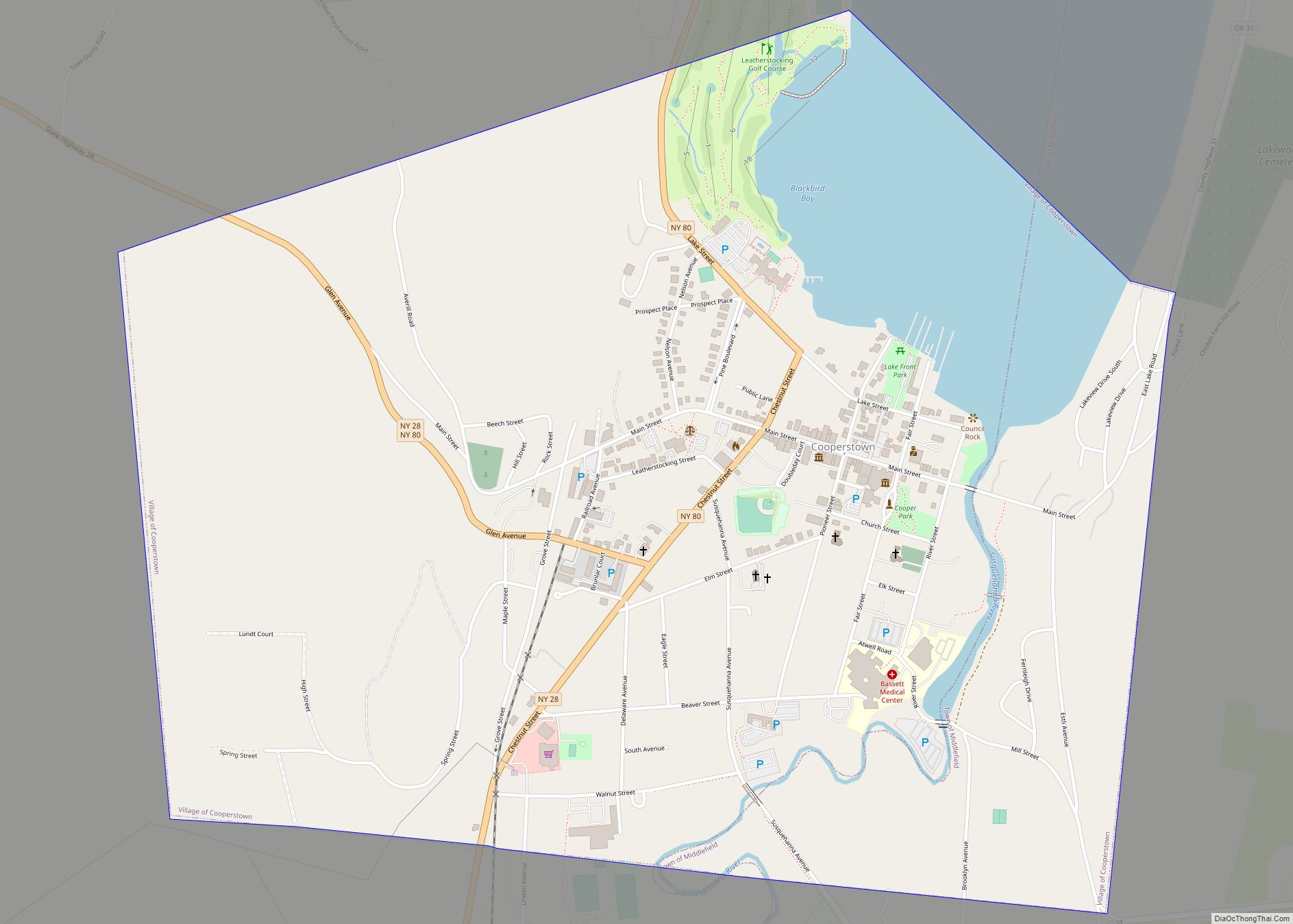
| Seat: | Cooperstown |
| Largest city: | Oneonta |
| Total Area: | 1,016 sq mi (2,630 km²) |
| Land Area: | 1,002 sq mi (2,600 km²) |
| Total Population: | 58,524 |
| Population Density: | 58.4/sq mi (22.5/km²) |
| Time zone: | UTC−5 (Eastern) |
| Summer Time Zone (DST): | UTC−4 (EDT) |
| Website: | www.otsegocounty.com |
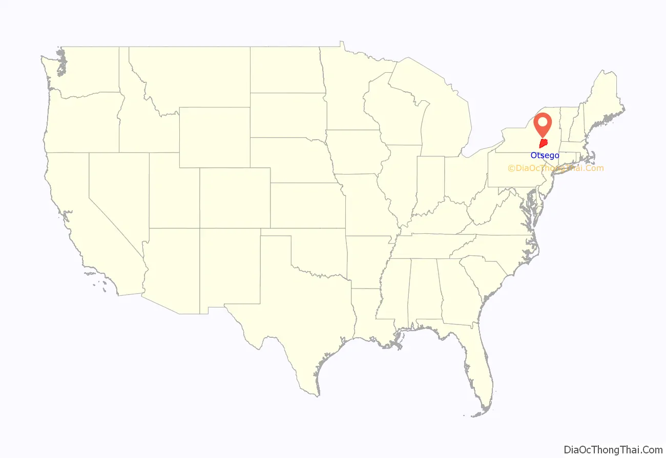
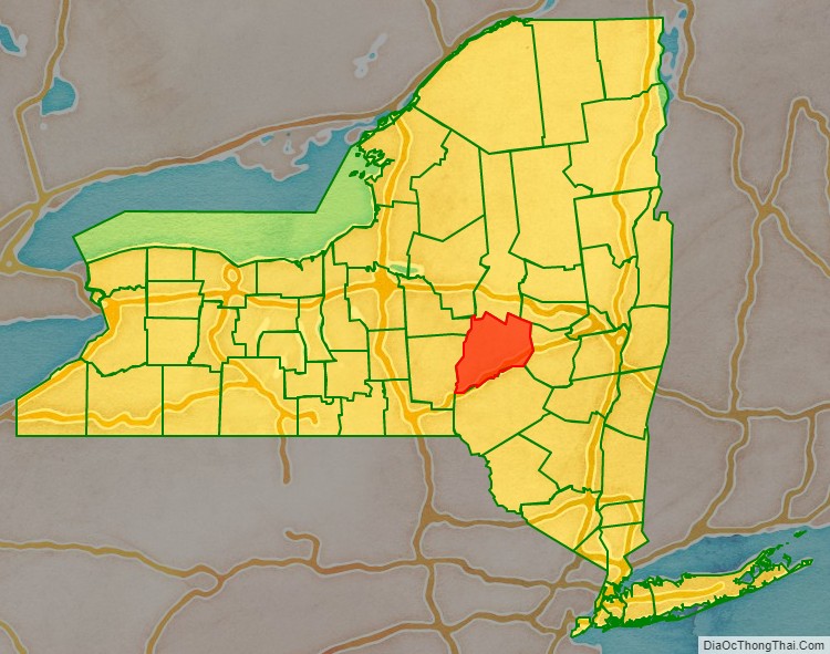
Otsego County location map. Where is Otsego County?
History
In 1789, Ontario County was split off from Montgomery. The area split off from Montgomery County was much larger than the present county, as it included the present Allegany, Cattaraugus, Chautauqua, Erie, Genesee, Livingston, Monroe, Niagara, Orleans, Steuben, Wyoming, Yates, and part of Schuyler and Wayne counties.
Formation
Otsego County was one of three early counties split off from Montgomery (the other two being Herkimer and Tioga) after the American Revolutionary War. Otsego County was officially established on February 16, 1791, with Cooperstown as its county seat. The original county consisted of three large townships:
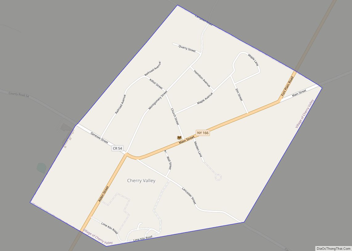
- Cherry Valley in the northeast,
- Otsego in the northwest, and
- Harpersfield in the south.
Otsego and Cherry Valley together roughly covered the area of modern Otsego County, while Harpersfield covered the area south of the current county as far as the Delaware River.
The original appointments to Otsego County government positions, made by Governor George Clinton included:
- Richard R. Smith, county sheriff, from Otsego township,
- Jacob Morris, county clerk, from Otsego township,
- William Cooper, chief judge, from Otsego township,
- Jedediah Peck, associate justice from Otsego township,
- Edward Griswold, associate justice from Cherry Valley
- Platt Townsend, associate justice from Harpersfield,
- Alexander Harper, commander of the county militia, from Harpersfield.
New towns
By 1793, four towns had been added to the county by division of the existing towns:
- The Otsego township had been divided into the towns of:
- Burlington in the west,
- Otsego in the northeast,
- Richfield in the north, and
- Unadilla in the south.
- Harpersfield had been divided into the towns of:
- Franklin in the west and
- Harpersfield in the east.
In 1795, a piece of Otsego County was joined with a portion taken from Albany County to create Schoharie County.
In 1797, a piece of Otsego County was joined with a portion taken from Ulster County to create Delaware County.
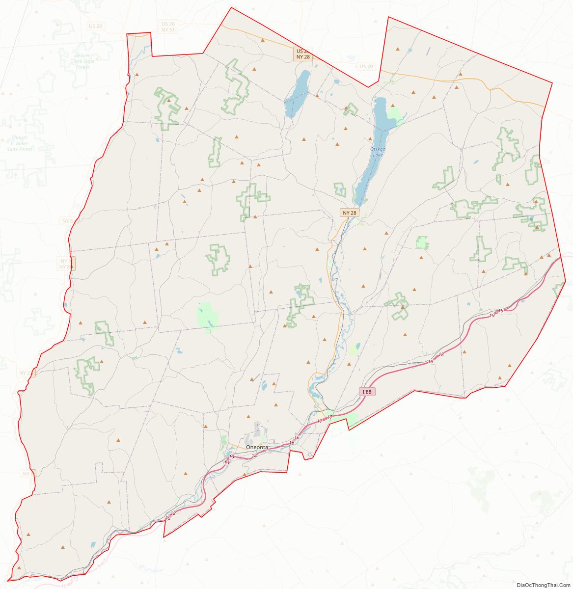
Otsego County Road Map
Geography
According to the U.S. Census Bureau, the county has a total area of 1,016 square miles (2,630 km), of which 1,002 square miles (2,600 km) is land and 14 square miles (36 km) (1.4%) is water.
Otsego County is in central New York State, to the west of Albany, southeast of Utica, and northeast of Binghamton. The county is part of the Central New York Region and Mohawk Valley Region of New York State. The county is considered by some to belong to the Southern Tier region of New York State, and is the northernmost county of the Appalachian Region.
Adjacent counties
- Herkimer County – north
- Montgomery County – northeast
- Schoharie County – east
- Delaware County – south
- Chenango County – southwest
- Oneida County – northwest
- Madison County – northwest
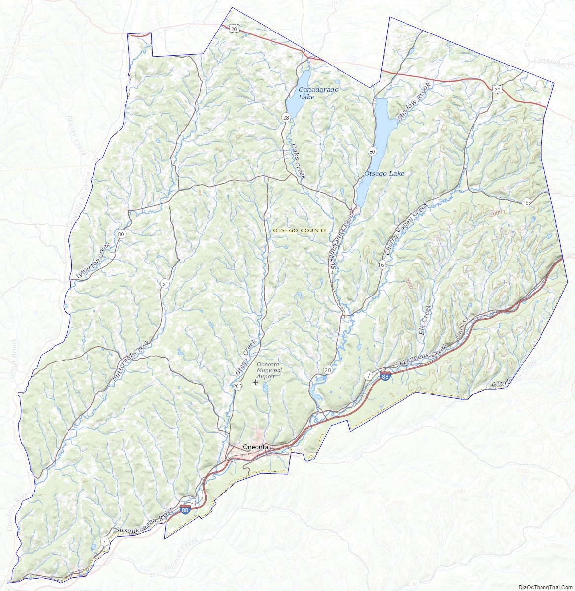
Otsego County Topographic Map
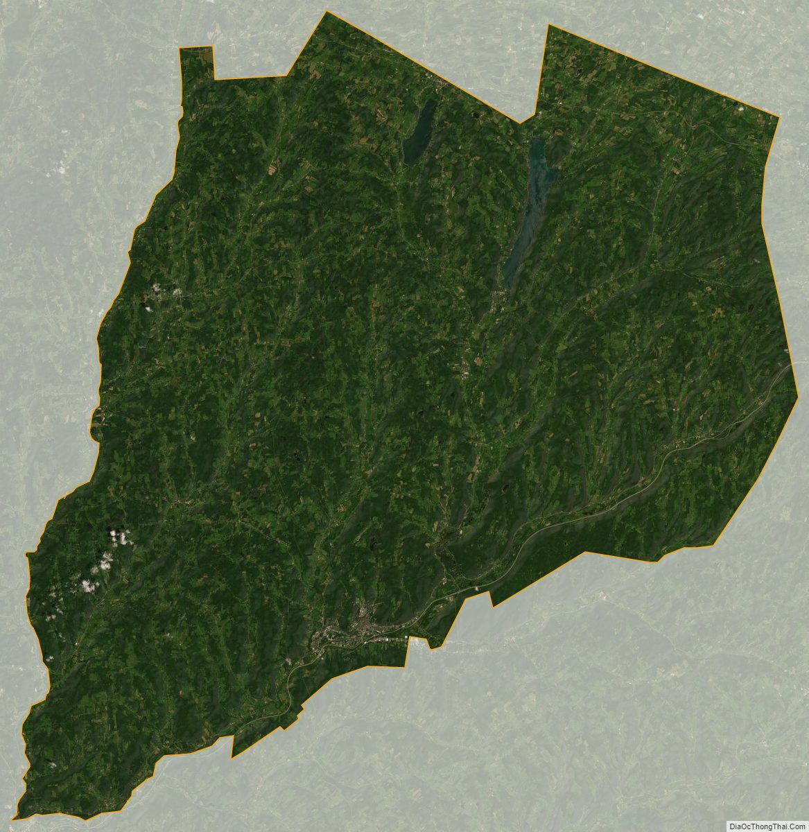
Otsego County Satellite Map
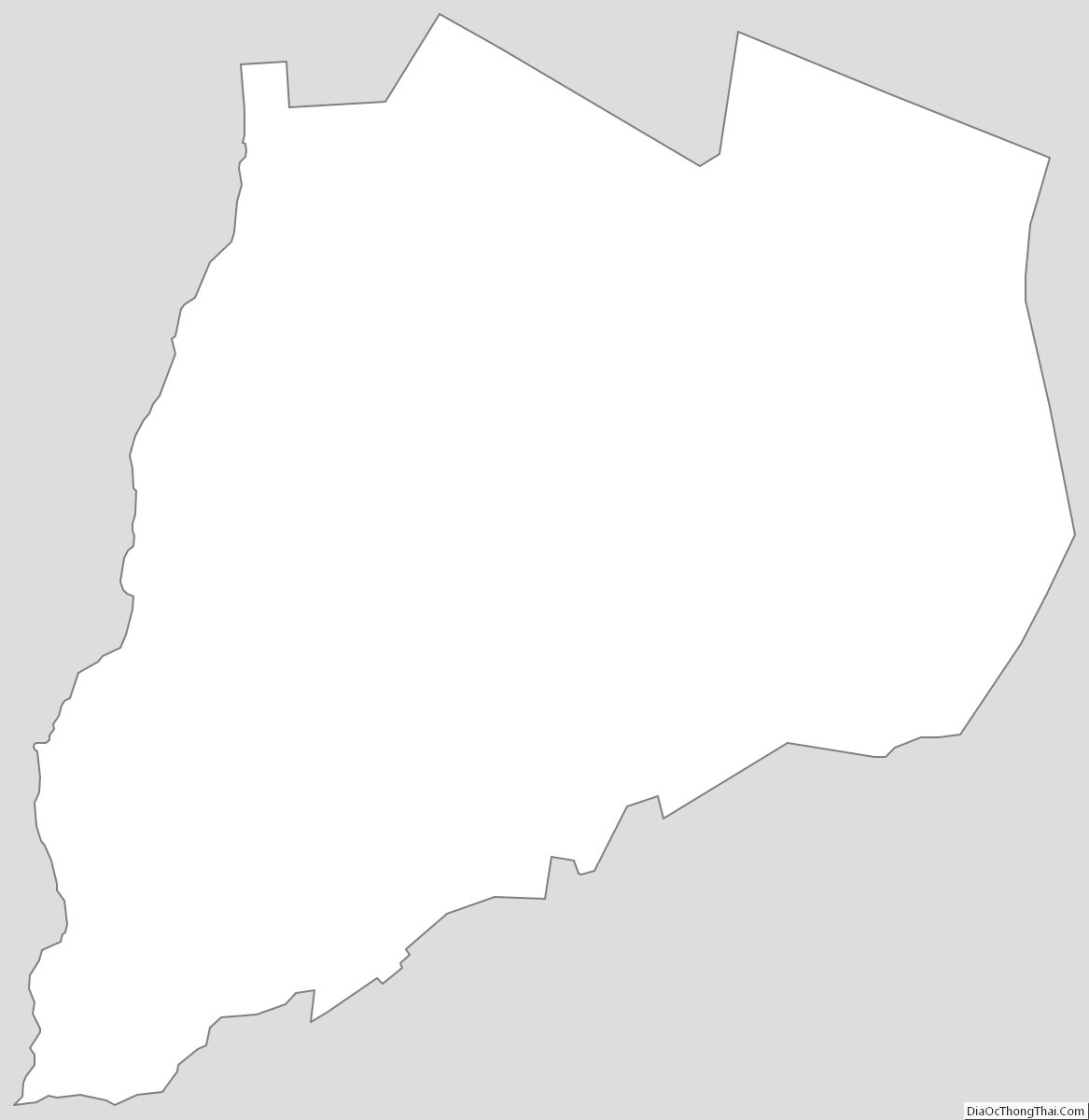
Otsego County Outline Map