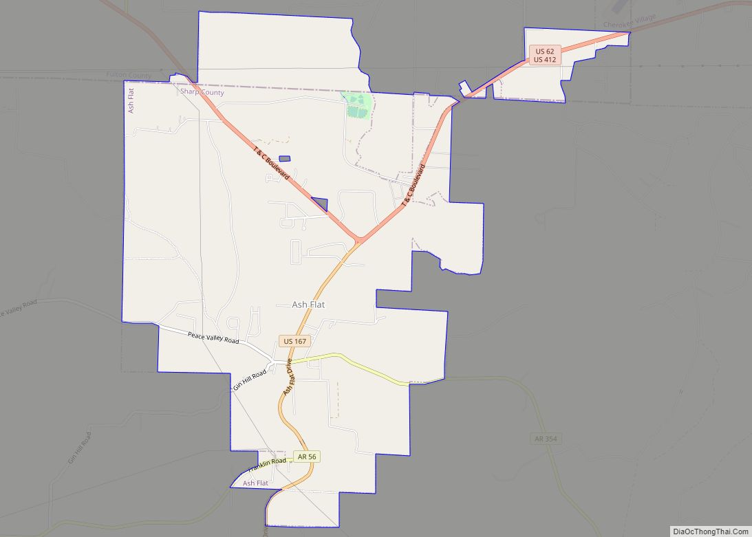
Ash Flat is a city in Fulton and Sharp counties in the U.S. state of Arkansas. with a population of 1,109 in 2021
| Name: | Ash Flat city |
|---|---|
| LSAD Code: | 25 |
| LSAD Description: | city (suffix) |
| State: | Arkansas |
| County: | Fulton County, Sharp County |
| Elevation: | 643 ft (196 m) |
| Total Area: | 6.32 sq mi (16.36 km²) |
| Land Area: | 6.32 sq mi (16.36 km²) |
| Water Area: | 0.00 sq mi (0.00 km²) |
| Total Population: | 1,137 |
| Population Density: | 180.05/sq mi (69.52/km²) |
| ZIP code: | 72513 |
| Area code: | 870 |
| FIPS code: | 0502470 |
| GNISfeature ID: | 2403116 |
| Website: | www.ash-flat.com |
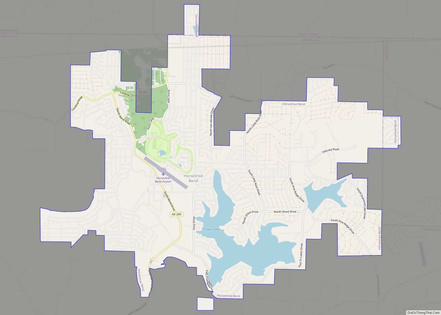
Online Interactive Map
Click on ![]() to view map in "full screen" mode.
to view map in "full screen" mode.
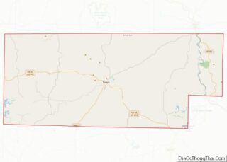
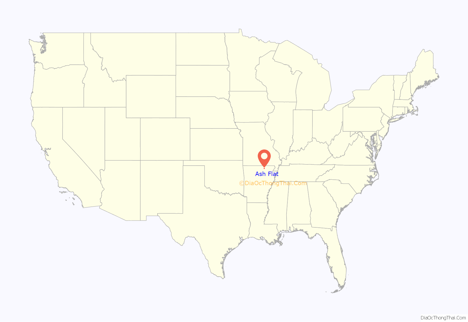
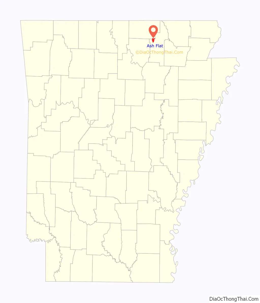
Ash Flat location map. Where is Ash Flat city?
History
Ash Flat was established in 1856. The community was so named for a grove of ash trees near the original town site.
In 1967, the Arkansas General Assembly designated Ash Flat as the single county seat of Sharp County, a title previously held by Hardy and Evening Shade concurrently.
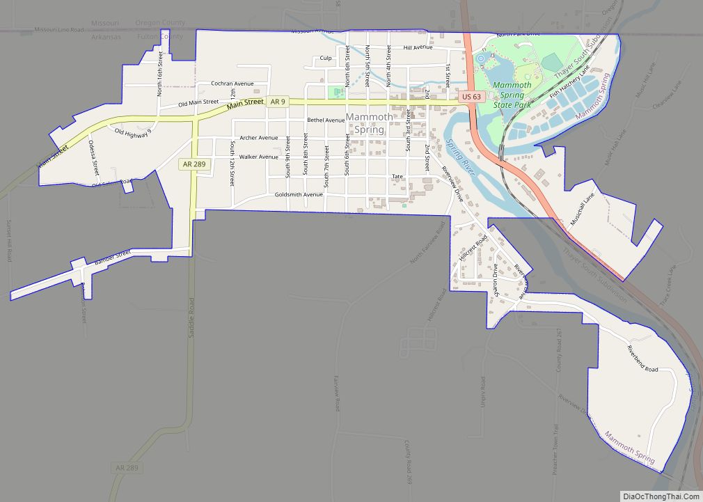
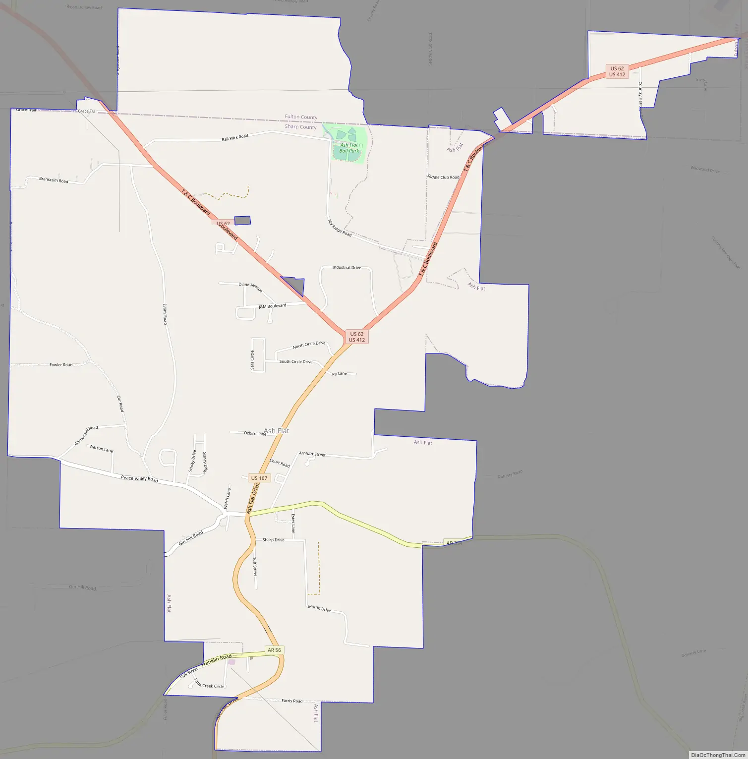
Ash Flat Road Map
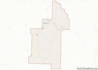
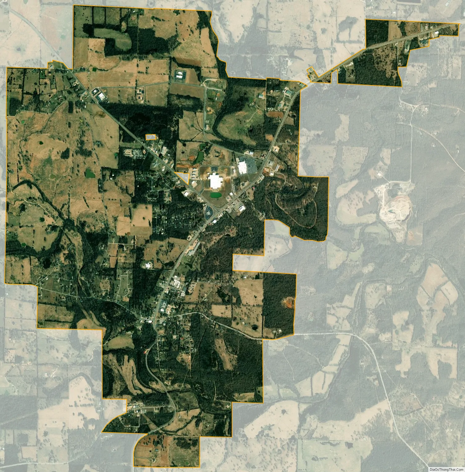
Ash Flat city Satellite Map
Geography
Ash Flat is located at 36°13′52″N 91°36′33″W / 36.23111°N 91.60917°W / 36.23111; -91.60917 (36.231107, -91.609163).
According to the United States Census Bureau, the city has a total area of 6.1 square miles (15.9 km), all land.
See also
Map of Arkansas State and its subdivision:- Arkansas
- Ashley
- Baxter
- Benton
- Boone
- Bradley
- Calhoun
- Carroll
- Chicot
- Clark
- Clay
- Cleburne
- Cleveland
- Columbia
- Conway
- Craighead
- Crawford
- Crittenden
- Cross
- Dallas
- Desha
- Drew
- Faulkner
- Franklin
- Fulton
- Garland
- Grant
- Greene
- Hempstead
- Hot Spring
- Howard
- Independence
- Izard
- Jackson
- Jefferson
- Johnson
- Lafayette
- Lawrence
- Lee
- Lincoln
- Little River
- Logan
- Lonoke
- Madison
- Marion
- Miller
- Mississippi
- Monroe
- Montgomery
- Nevada
- Newton
- Ouachita
- Perry
- Phillips
- Pike
- Poinsett
- Polk
- Pope
- Prairie
- Pulaski
- Randolph
- Saint Francis
- Saline
- Scott
- Searcy
- Sebastian
- Sevier
- Sharp
- Stone
- Union
- Van Buren
- Washington
- White
- Woodruff
- Yell
- Alabama
- Alaska
- Arizona
- Arkansas
- California
- Colorado
- Connecticut
- Delaware
- District of Columbia
- Florida
- Georgia
- Hawaii
- Idaho
- Illinois
- Indiana
- Iowa
- Kansas
- Kentucky
- Louisiana
- Maine
- Maryland
- Massachusetts
- Michigan
- Minnesota
- Mississippi
- Missouri
- Montana
- Nebraska
- Nevada
- New Hampshire
- New Jersey
- New Mexico
- New York
- North Carolina
- North Dakota
- Ohio
- Oklahoma
- Oregon
- Pennsylvania
- Rhode Island
- South Carolina
- South Dakota
- Tennessee
- Texas
- Utah
- Vermont
- Virginia
- Washington
- West Virginia
- Wisconsin
- Wyoming