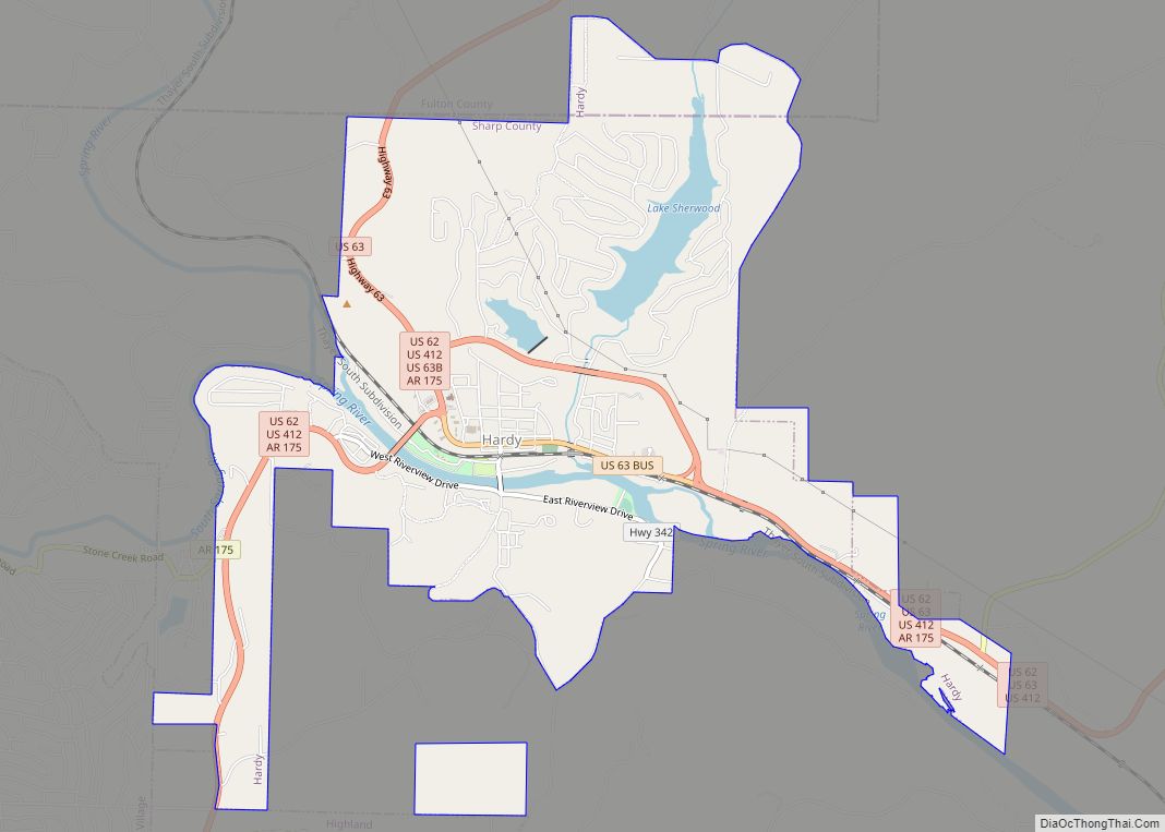
Hardy is the 2nd oldest city in Sharp and Fulton counties in the U.S. state of Arkansas. The population was 765 in 2020.
| Name: | Hardy city |
|---|---|
| LSAD Code: | 25 |
| LSAD Description: | city (suffix) |
| State: | Arkansas |
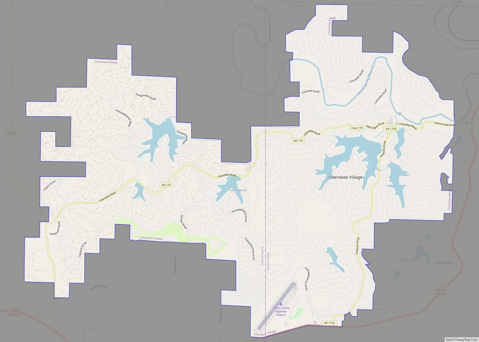
| County: | Fulton County, Sharp County |
| Elevation: | 440 ft (130 m) |
| Total Area: | 5.31 sq mi (13.76 km²) |
| Land Area: | 5.06 sq mi (13.09 km²) |
| Water Area: | 0.26 sq mi (0.67 km²) |
| Total Population: | 743 |
| Population Density: | 146.95/sq mi (56.74/km²) |
| ZIP code: | 72525, 72529, 72542 |
| Area code: | 870 |
| FIPS code: | 0529920 |
| GNISfeature ID: | 2403800 |
| Website: | www.cityofhardy.org |
Online Interactive Map
Click on ![]() to view map in "full screen" mode.
to view map in "full screen" mode.
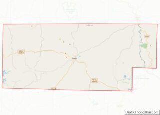
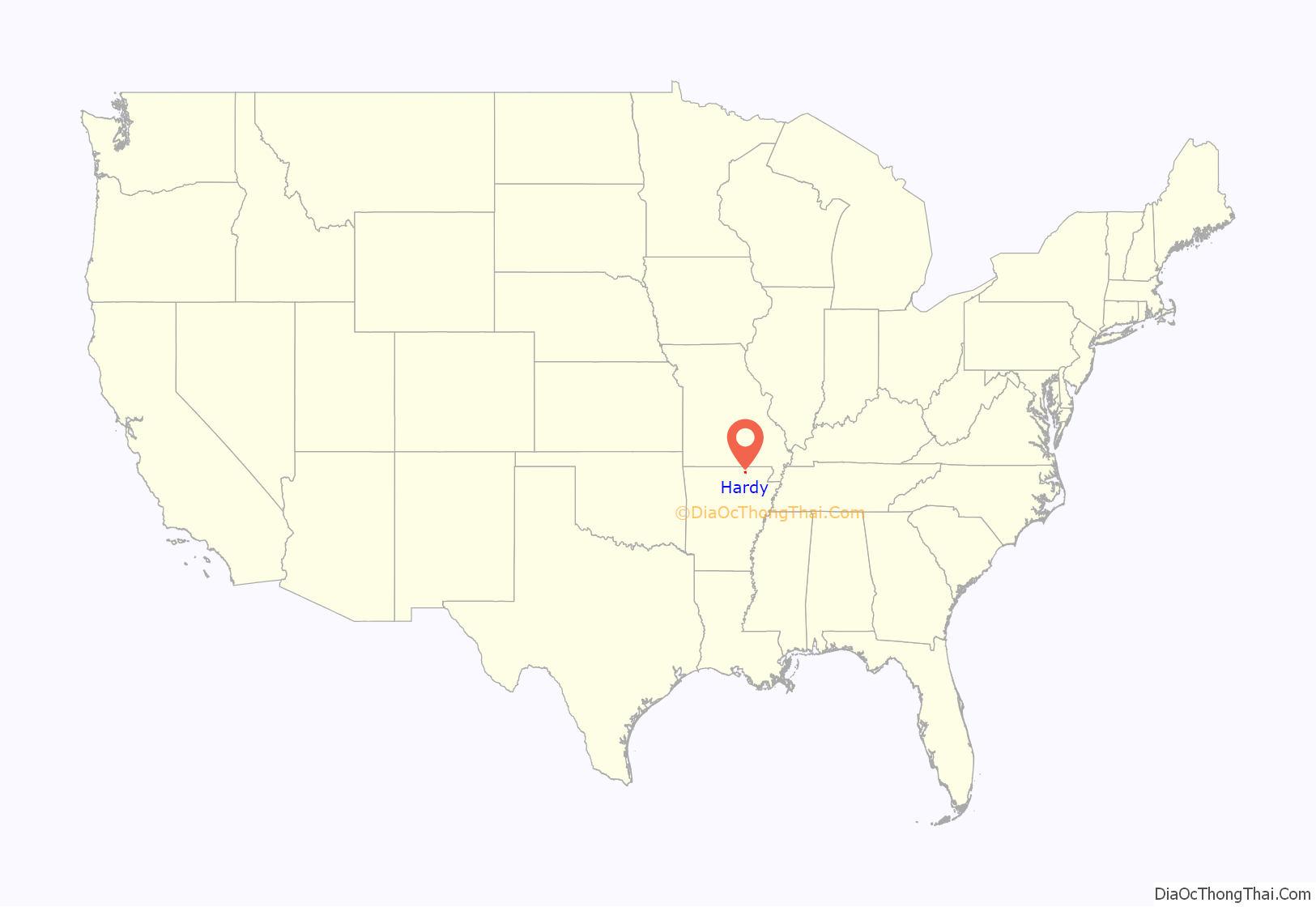
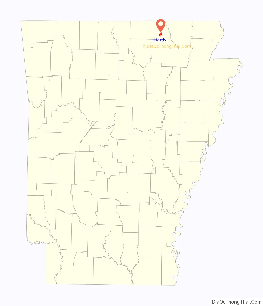
Hardy location map. Where is Hardy city?
History
In the early 1950s, the Horrell and Clay families both had grocery stores there. Conway Horn ran a general mercantile store. Charles Cone ran the Western Auto Store. Two places to eat were Bonnie’s Cafe and Mrs. Rogers’ sundries store. Arthur Snow was a pharmacist and owned a drugstore. The agent for the Frisco Railroad was Virgil L. Walker, Jr. Dink Booth was the barber. The Thomsons ran the movie theater, and Ben Dalton published a newspaper. Ottie Cate ran a poultry and ice house, and Bill Shaver had the Standard Oil service station. Tom Walker was in charge of the local bank, and Woodrow Wilson ran a Mobil service station. “Peavine” Clouse was the city marshal. “Guinea” Gray was a local painter, and Clifford Brummet had the contract to carry the mail between the post office and the arriving trains. He also had a farm near Hardy. Arthur Garner sold real estate. Dewey Dark ran the Rose Hill Resort. Doctor Miller was a local medical doctor. Leonard Johns worked at the Post Office.
The Discovery Channel reality television series Clash of the Ozarks is set in Hardy. The program focuses on the lives of the people in the community.
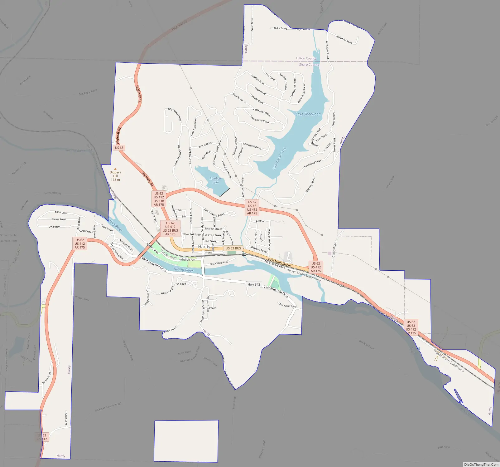
Hardy Road Map
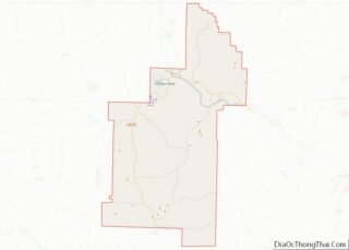
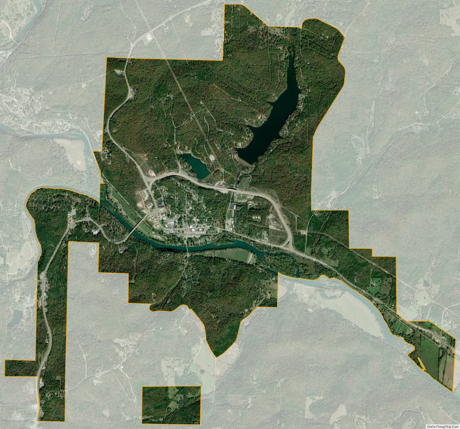
Hardy city Satellite Map
Geography
Hardy is located at 36°19′14″N 91°28′50″W / 36.32056°N 91.48056°W / 36.32056; -91.48056 (36.320553, -91.480645).
The Spring River, which begins in Mammoth Spring, flows through Hardy. The Spring River flows into the Black River, which flows into the White River, and the White River eventually empties into the Mississippi River.
U.S. Route 63 is the main highway which runs through the town. In its course through Arkansas, Route 63 runs from the Missouri state line at Mammoth Spring to connect with Interstate 55 near Gilmore.
When roads were poor and travel much more difficult, Hardy was one of two county seats of Sharp County. The other was Evening Shade. In 1963, Ash Flat was named the county seat, and Hardy and Evening Shade lost that designation.
Hardy is served by the BNSF Railway. Formerly, the railroad through Hardy was part of the Frisco (St. Louis – San Francisco Railway) which had about 5,000 miles (8,000 km) of trackage, and served Arkansas, Missouri, Oklahoma, Kansas, Texas, Tennessee, Alabama, Mississippi, and Florida. In 1980, the much larger Burlington Northern acquired the Frisco and integrated it into its own system.
According to the United States Census Bureau, the city has a total area of 5.4 square miles (14.0 km), of which 5.2 square miles (13.4 km) is land and 0.23 square miles (0.6 km), or 4.63%, is water.
See also
Map of Arkansas State and its subdivision:- Arkansas
- Ashley
- Baxter
- Benton
- Boone
- Bradley
- Calhoun
- Carroll
- Chicot
- Clark
- Clay
- Cleburne
- Cleveland
- Columbia
- Conway
- Craighead
- Crawford
- Crittenden
- Cross
- Dallas
- Desha
- Drew
- Faulkner
- Franklin
- Fulton
- Garland
- Grant
- Greene
- Hempstead
- Hot Spring
- Howard
- Independence
- Izard
- Jackson
- Jefferson
- Johnson
- Lafayette
- Lawrence
- Lee
- Lincoln
- Little River
- Logan
- Lonoke
- Madison
- Marion
- Miller
- Mississippi
- Monroe
- Montgomery
- Nevada
- Newton
- Ouachita
- Perry
- Phillips
- Pike
- Poinsett
- Polk
- Pope
- Prairie
- Pulaski
- Randolph
- Saint Francis
- Saline
- Scott
- Searcy
- Sebastian
- Sevier
- Sharp
- Stone
- Union
- Van Buren
- Washington
- White
- Woodruff
- Yell
- Alabama
- Alaska
- Arizona
- Arkansas
- California
- Colorado
- Connecticut
- Delaware
- District of Columbia
- Florida
- Georgia
- Hawaii
- Idaho
- Illinois
- Indiana
- Iowa
- Kansas
- Kentucky
- Louisiana
- Maine
- Maryland
- Massachusetts
- Michigan
- Minnesota
- Mississippi
- Missouri
- Montana
- Nebraska
- Nevada
- New Hampshire
- New Jersey
- New Mexico
- New York
- North Carolina
- North Dakota
- Ohio
- Oklahoma
- Oregon
- Pennsylvania
- Rhode Island
- South Carolina
- South Dakota
- Tennessee
- Texas
- Utah
- Vermont
- Virginia
- Washington
- West Virginia
- Wisconsin
- Wyoming