Montrose is a borough in Susquehanna County, Pennsylvania, United States, 18.41 miles (29.63 km) south-southeast of Binghamton, New York and 31.39 miles (50.52 km) north by west of Scranton. The land is elevated approximately 1,400 feet (430 m) above sea level. It is the Susquehanna County seat.
| Name: | Montrose borough |
|---|---|
| LSAD Code: | 21 |
| LSAD Description: | borough (suffix) |
| State: | Pennsylvania |
| County: | Susquehanna County |
| Incorporated: | 1824 |
| Elevation: | 1,657 ft (505 m) |
| Total Area: | 1.29 sq mi (3.33 km²) |
| Land Area: | 1.29 sq mi (3.33 km²) |
| Water Area: | 0.00 sq mi (0.00 km²) |
| Total Population: | 1,290 |
| Population Density: | 1,002.33/sq mi (387.03/km²) |
| ZIP code: | 18801 |
| Area code: | 570 |
| FIPS code: | 4250736 |
| GNISfeature ID: | 1215614 |
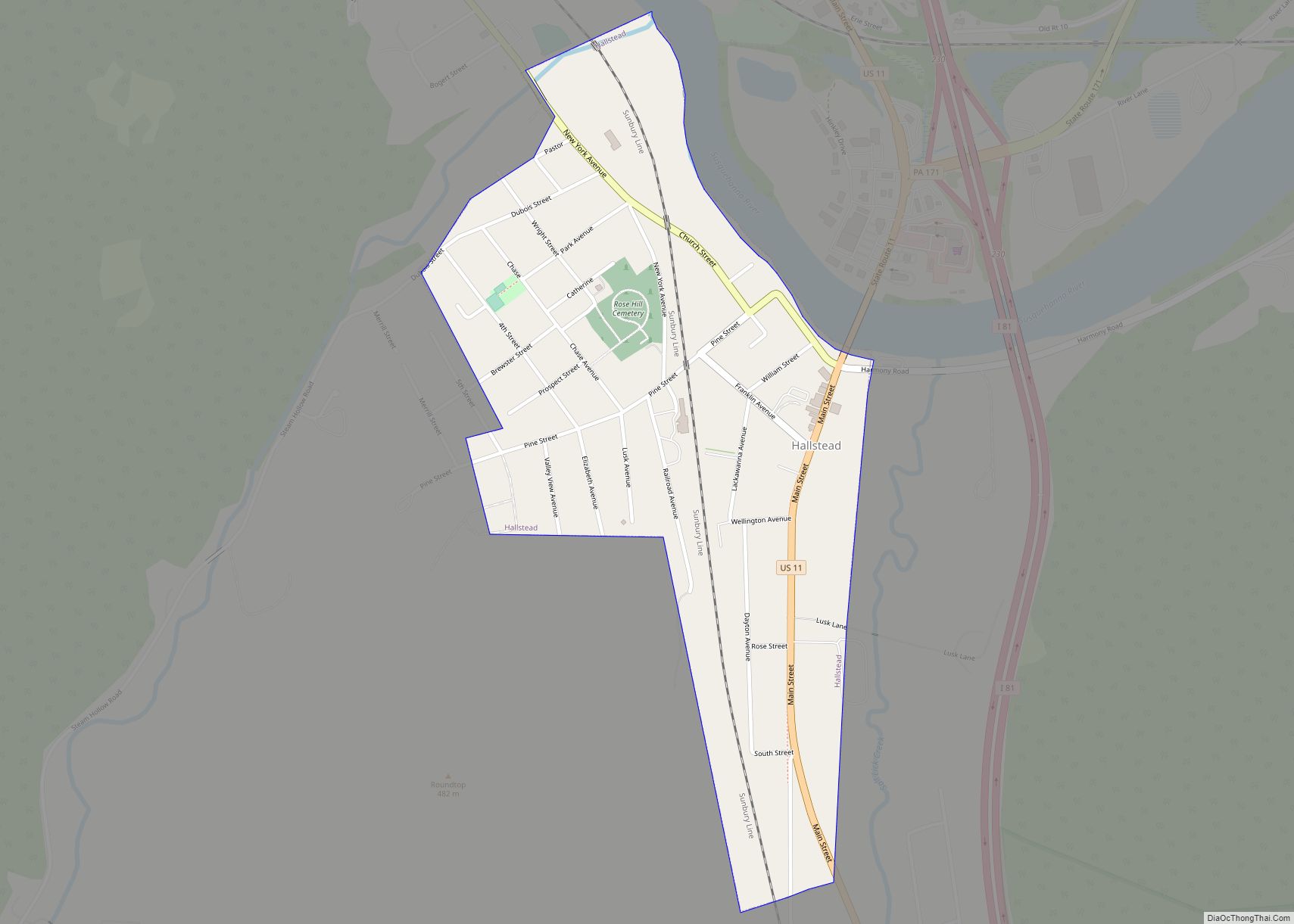
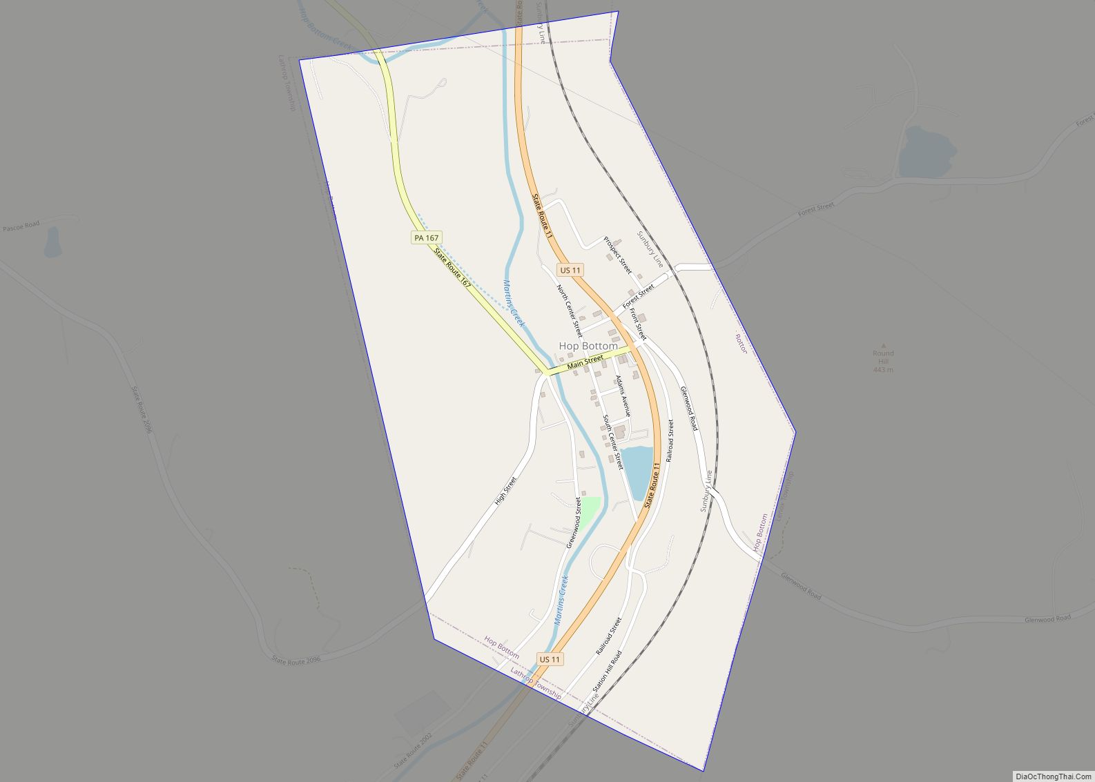
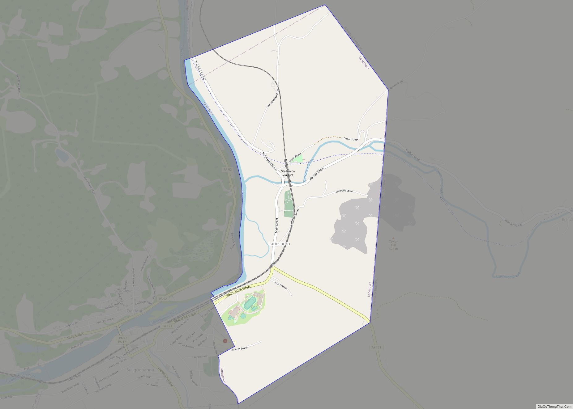
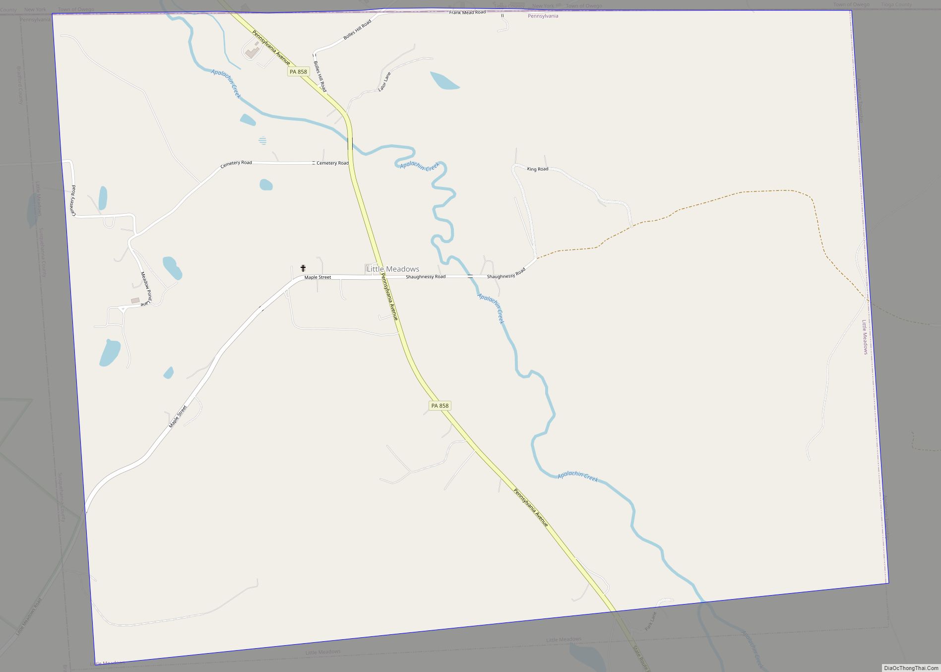
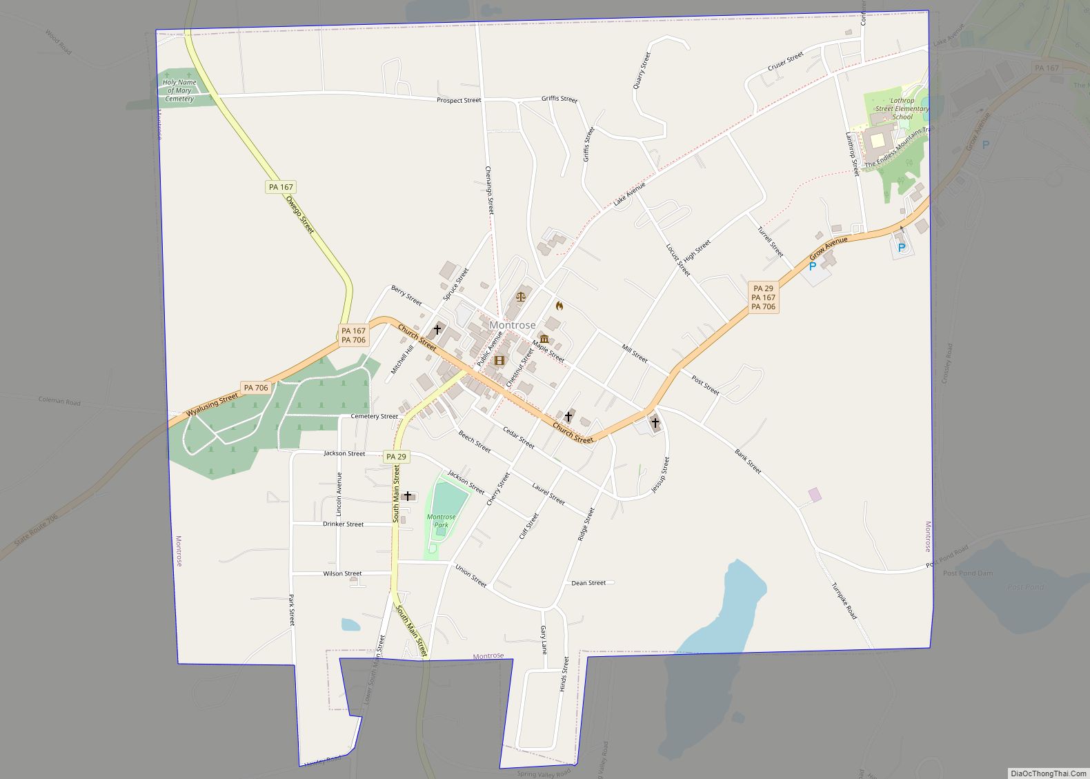
Online Interactive Map
Click on ![]() to view map in "full screen" mode.
to view map in "full screen" mode.
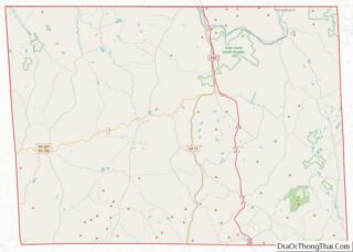
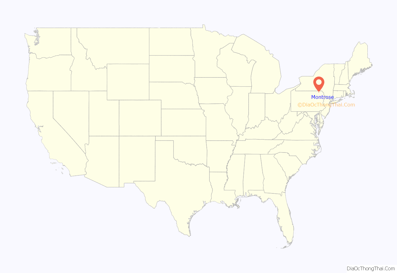
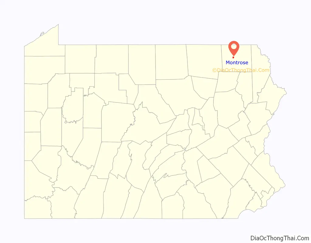
Montrose location map. Where is Montrose borough?
History
Montrose was laid out in 1812 in an area of Pennsylvania historically associated with the Indigenous Susquehannock people. The first non-Indigenous settler in 1800 was a Revolutionary War officer, Captain Bartlett Hinds, who traveled from Long Island, NY with his stepson, Isaac Post. Upon seeing the area’s natural beauty and potential, he returned to NY to bring his family to Pennsylvania. Among other settlers were the descendants of Sir Peter Warren, Knight Vice Admiral on England’s Royal Fleet. Upon retirement, he was given the land by grateful American soldiers.
The first courthouse was built a year later, and Montrose was incorporated as a borough from part of Bridgewater Township on March 29, 1824. Its name is a portmanteau incorporating mont, the French word for “mountain”, and Rose, for Dr. L. R. Rose, a prominent citizen.
The traditional older industries included creameries and the manufacturing of cut glass, boxes, sawing machinery, lumber, etc. The area of Montrose is notable for its many quarry sites. A type of rock that is indigenous to this area is called blue stone. In 1900, 1,827 people lived there, and in 1910, 1,914 people resided there.
Montrose was incorporated as a town and seat of Susquehanna County in 1824, but families began immigrating to the area in the mid-18th century, primarily from areas along the Connecticut River Valley (western Connecticut, Massachusetts, and Vermont). The American Revolution dramatically changed the political and built environments of New England. After the war, there was pent-up land hunger and many residents wanted some of the affordable land in Pennsylvania. When settlers arrived in what is now Susquehanna County they found rolling hills, clear lakes, and mountain streams with an abundance of natural resources such as timber and bluestone. In a very short period of time, the first families built Montrose in the style of their home New England towns: large colonial style houses surrounding churches, and both centered on a main street. A town “green” adjacent to the courthouse was the commons, or place for community events.
Montrose played a significant role in the Northern Trail of the Underground Railroad: “During the 1840s, the anti-slavery ideology prevailing in Susquehanna County took a decidedly radical turn. Abolitionists no longer content to limit their involvement to lectures and debates began helping slaves escape on the Underground Railroad. Of the eighty-two individuals identified as Underground Railroad agents, twenty-one came from Susquehanna County.”
Between the 1950s and 1990s, due to the declines in the coal industry and agriculture, residents emigrated from this area to other places for work. In the latter part of the first decade of the 21st century natural gas exploration, drilling and hydraulic fracturing used in the gas extraction process have created a dramatic pickup in the local economy. Due to increased revenues in town, the Montrose hospital (the only major hospital in Susquehanna County) was moved from an old and small facility downtown to a large, advanced facility just outside town.
The population was 1,664 at the 2000 census. The population was 1,617 as of 2010.
The town’s Sylvanus Mulford House, Silver Lake Bank, and Susquehanna County Courthouse Complex are listed on the National Register of Historic Places. The Montrose Historic District was added in 2011.
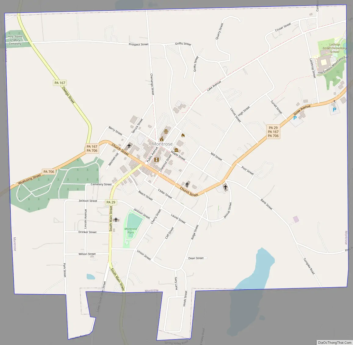
Montrose Road Map
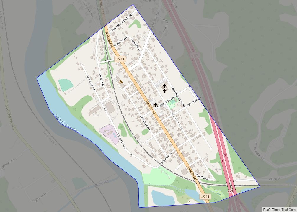
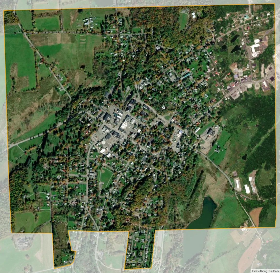
Montrose city Satellite Map
Geography
Montrose is located at 41°49′59″N 75°52′38″W / 41.83306°N 75.87722°W / 41.83306; -75.87722 (41.833064, -75.877190).
According to the United States Census Bureau, the borough has a total area of 1.3 square miles (3.4 km), all land.
See also
Map of Pennsylvania State and its subdivision:- Adams
- Allegheny
- Armstrong
- Beaver
- Bedford
- Berks
- Blair
- Bradford
- Bucks
- Butler
- Cambria
- Cameron
- Carbon
- Centre
- Chester
- Clarion
- Clearfield
- Clinton
- Columbia
- Crawford
- Cumberland
- Dauphin
- Delaware
- Elk
- Erie
- Fayette
- Forest
- Franklin
- Fulton
- Greene
- Huntingdon
- Indiana
- Jefferson
- Juniata
- Lackawanna
- Lancaster
- Lawrence
- Lebanon
- Lehigh
- Luzerne
- Lycoming
- Mc Kean
- Mercer
- Mifflin
- Monroe
- Montgomery
- Montour
- Northampton
- Northumberland
- Perry
- Philadelphia
- Pike
- Potter
- Schuylkill
- Snyder
- Somerset
- Sullivan
- Susquehanna
- Tioga
- Union
- Venango
- Warren
- Washington
- Wayne
- Westmoreland
- Wyoming
- York
- Alabama
- Alaska
- Arizona
- Arkansas
- California
- Colorado
- Connecticut
- Delaware
- District of Columbia
- Florida
- Georgia
- Hawaii
- Idaho
- Illinois
- Indiana
- Iowa
- Kansas
- Kentucky
- Louisiana
- Maine
- Maryland
- Massachusetts
- Michigan
- Minnesota
- Mississippi
- Missouri
- Montana
- Nebraska
- Nevada
- New Hampshire
- New Jersey
- New Mexico
- New York
- North Carolina
- North Dakota
- Ohio
- Oklahoma
- Oregon
- Pennsylvania
- Rhode Island
- South Carolina
- South Dakota
- Tennessee
- Texas
- Utah
- Vermont
- Virginia
- Washington
- West Virginia
- Wisconsin
- Wyoming