Wheaton is a city in Traverse County, Minnesota, United States. The population was 1,460 at the 2020 census. It is the county seat.
| Name: | Wheaton city |
|---|---|
| LSAD Code: | 25 |
| LSAD Description: | city (suffix) |
| State: | Minnesota |
| County: | Traverse County |
| Elevation: | 1,020 ft (311 m) |
| Total Area: | 1.74 sq mi (4.50 km²) |
| Land Area: | 1.74 sq mi (4.50 km²) |
| Water Area: | 0.00 sq mi (0.00 km²) |
| Total Population: | 1,460 |
| Population Density: | 840.53/sq mi (324.54/km²) |
| ZIP code: | 56296 |
| Area code: | 320 |
| FIPS code: | 2769844 |
| GNISfeature ID: | 0654055 |
| Website: | cityofwheaton.com |
Online Interactive Map
Click on ![]() to view map in "full screen" mode.
to view map in "full screen" mode.
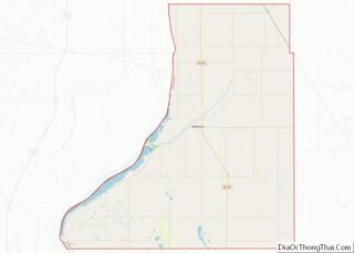
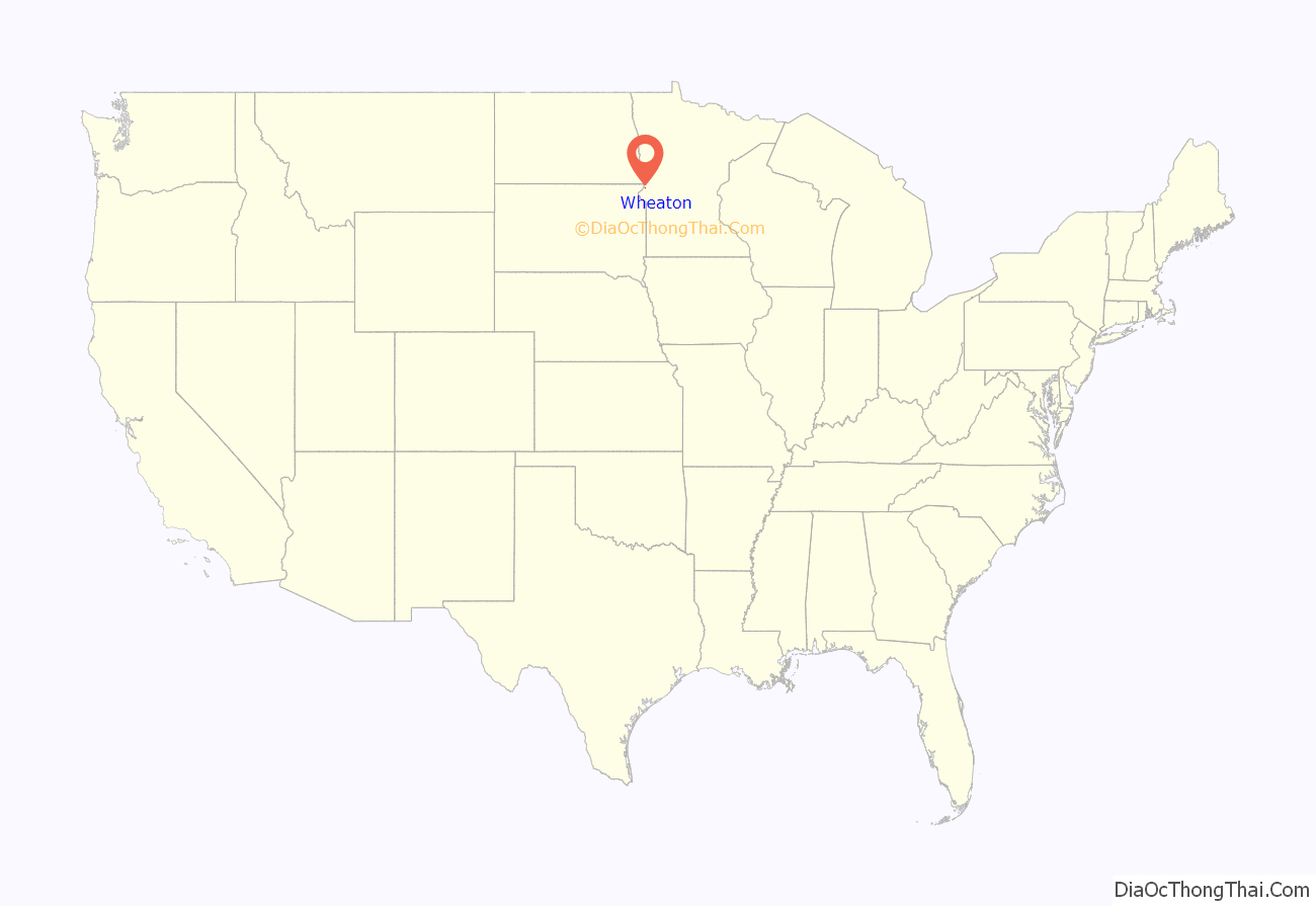
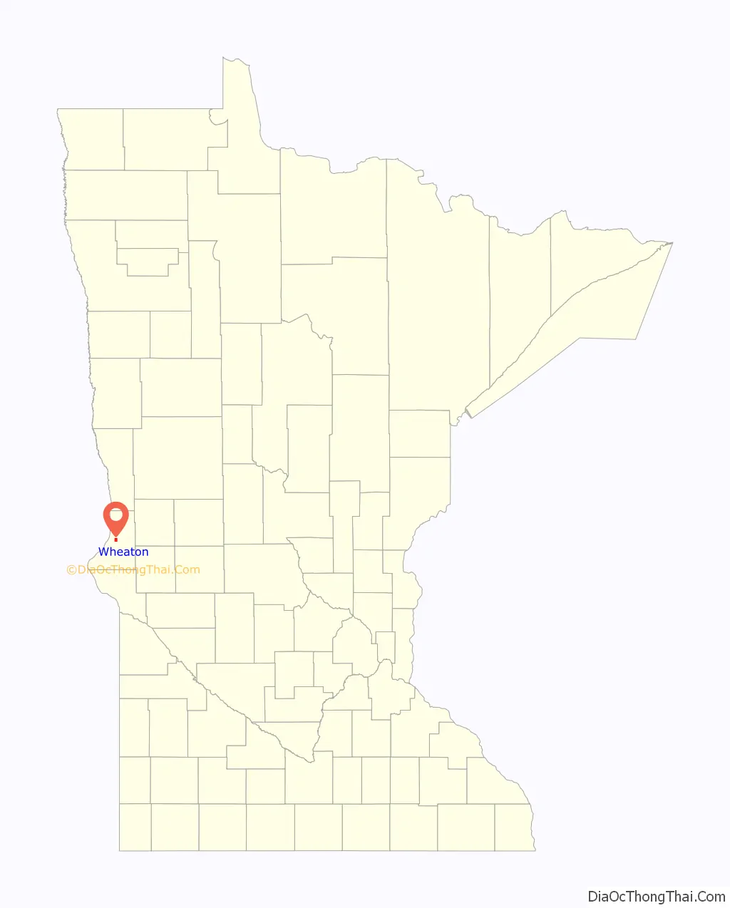
Wheaton location map. Where is Wheaton city?
History
A post office called Wheaton has been in operation since 1884. Wheaton was designated county seat in 1886. The city was named for Daniel Thompson Wheaton, a railroad surveyor. One property in the city is listed on the National Register of Historic Places: the Wheaton Depot, built circa 1906.
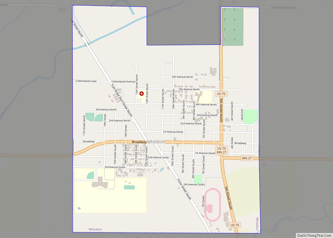
Wheaton Road Map
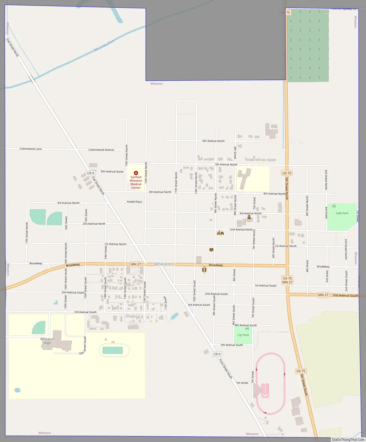
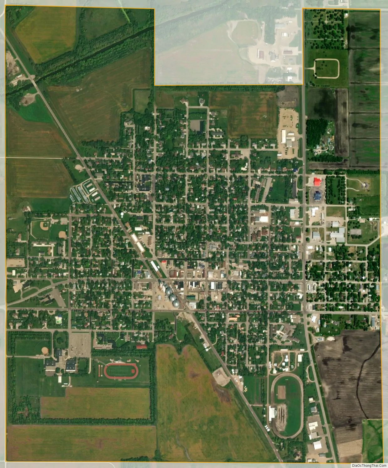
Wheaton city Satellite Map
Geography
Wheaton lies along the Mustinka River. According to the United States Census Bureau, the city has an area of 1.80 square miles (4.66 km), all land.
U.S. Highway 75 and Minnesota State Highway 27 are two of the city’s main routes.
Climate
See also
Map of Minnesota State and its subdivision:- Aitkin
- Anoka
- Becker
- Beltrami
- Benton
- Big Stone
- Blue Earth
- Brown
- Carlton
- Carver
- Cass
- Chippewa
- Chisago
- Clay
- Clearwater
- Cook
- Cottonwood
- Crow Wing
- Dakota
- Dodge
- Douglas
- Faribault
- Fillmore
- Freeborn
- Goodhue
- Grant
- Hennepin
- Houston
- Hubbard
- Isanti
- Itasca
- Jackson
- Kanabec
- Kandiyohi
- Kittson
- Koochiching
- Lac qui Parle
- Lake
- Lake of the Woods
- Lake Superior
- Le Sueur
- Lincoln
- Lyon
- Mahnomen
- Marshall
- Martin
- McLeod
- Meeker
- Mille Lacs
- Morrison
- Mower
- Murray
- Nicollet
- Nobles
- Norman
- Olmsted
- Otter Tail
- Pennington
- Pine
- Pipestone
- Polk
- Pope
- Ramsey
- Red Lake
- Redwood
- Renville
- Rice
- Rock
- Roseau
- Saint Louis
- Scott
- Sherburne
- Sibley
- Stearns
- Steele
- Stevens
- Swift
- Todd
- Traverse
- Wabasha
- Wadena
- Waseca
- Washington
- Watonwan
- Wilkin
- Winona
- Wright
- Yellow Medicine
- Alabama
- Alaska
- Arizona
- Arkansas
- California
- Colorado
- Connecticut
- Delaware
- District of Columbia
- Florida
- Georgia
- Hawaii
- Idaho
- Illinois
- Indiana
- Iowa
- Kansas
- Kentucky
- Louisiana
- Maine
- Maryland
- Massachusetts
- Michigan
- Minnesota
- Mississippi
- Missouri
- Montana
- Nebraska
- Nevada
- New Hampshire
- New Jersey
- New Mexico
- New York
- North Carolina
- North Dakota
- Ohio
- Oklahoma
- Oregon
- Pennsylvania
- Rhode Island
- South Carolina
- South Dakota
- Tennessee
- Texas
- Utah
- Vermont
- Virginia
- Washington
- West Virginia
- Wisconsin
- Wyoming