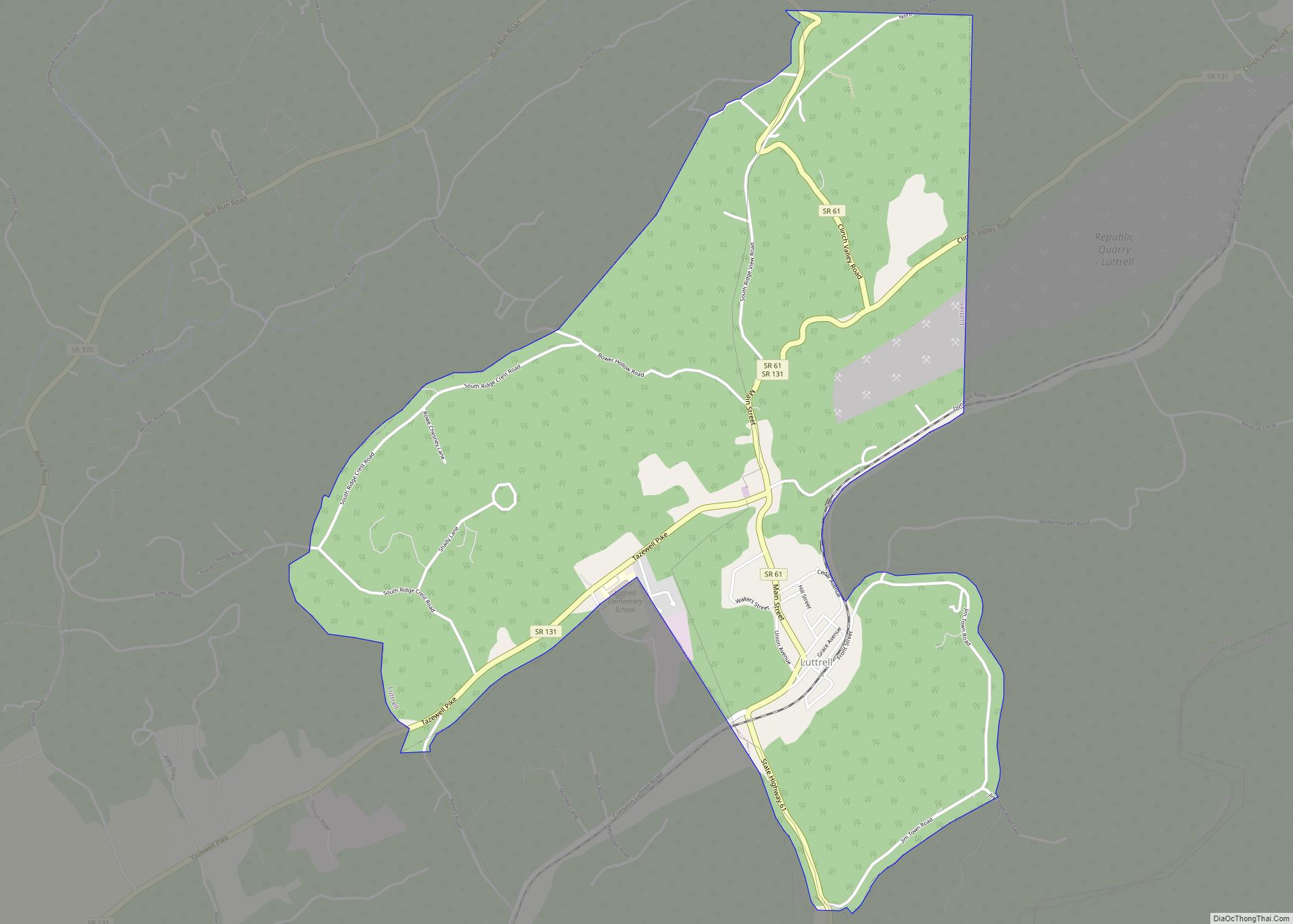
Luttrell is a city in Union County, Tennessee, United States. The population was 1,074 at the 2010 census, up from 915 at the 2000 census. It is included in the Knoxville, Tennessee Metropolitan Statistical Area.
| Name: | Luttrell town |
|---|---|
| LSAD Code: | 43 |
| LSAD Description: | town (suffix) |
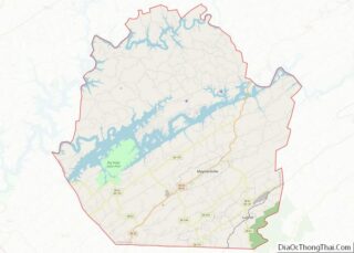
| State: | Tennessee |
| County: | Union County |
| Incorporated: | 1925 |
| Elevation: | 1,076 ft (328 m) |
| Total Area: | 3.93 sq mi (10.18 km²) |
| Land Area: | 3.93 sq mi (10.18 km²) |
| Water Area: | 0.00 sq mi (0.00 km²) |
| Total Population: | 1,017 |
| Population Density: | 258.71/sq mi (99.89/km²) |
| ZIP code: | 37779 |
| Area code: | 865 |
| FIPS code: | 4744300 |
| GNISfeature ID: | 1303493 |
Online Interactive Map
Click on ![]() to view map in "full screen" mode.
to view map in "full screen" mode.
Luttrell location map. Where is Luttrell town?


History
Luttrell was originally known as Cedar Ford, and was renamed Luttrell in 1890. In the 19th century Cedar Ford was the site of a lime kiln and a marble quarry, supporting a population of 808 as of the 1870 Census. In 1887 the Powell Valley Railroad (now part of the Norfolk Southern Railway) was built through the community, making it a shipping center for the surrounding area. Luttrell became an incorporated municipality in 1925.
Luttrell Road Map

Luttrell city Satellite Map

Geography
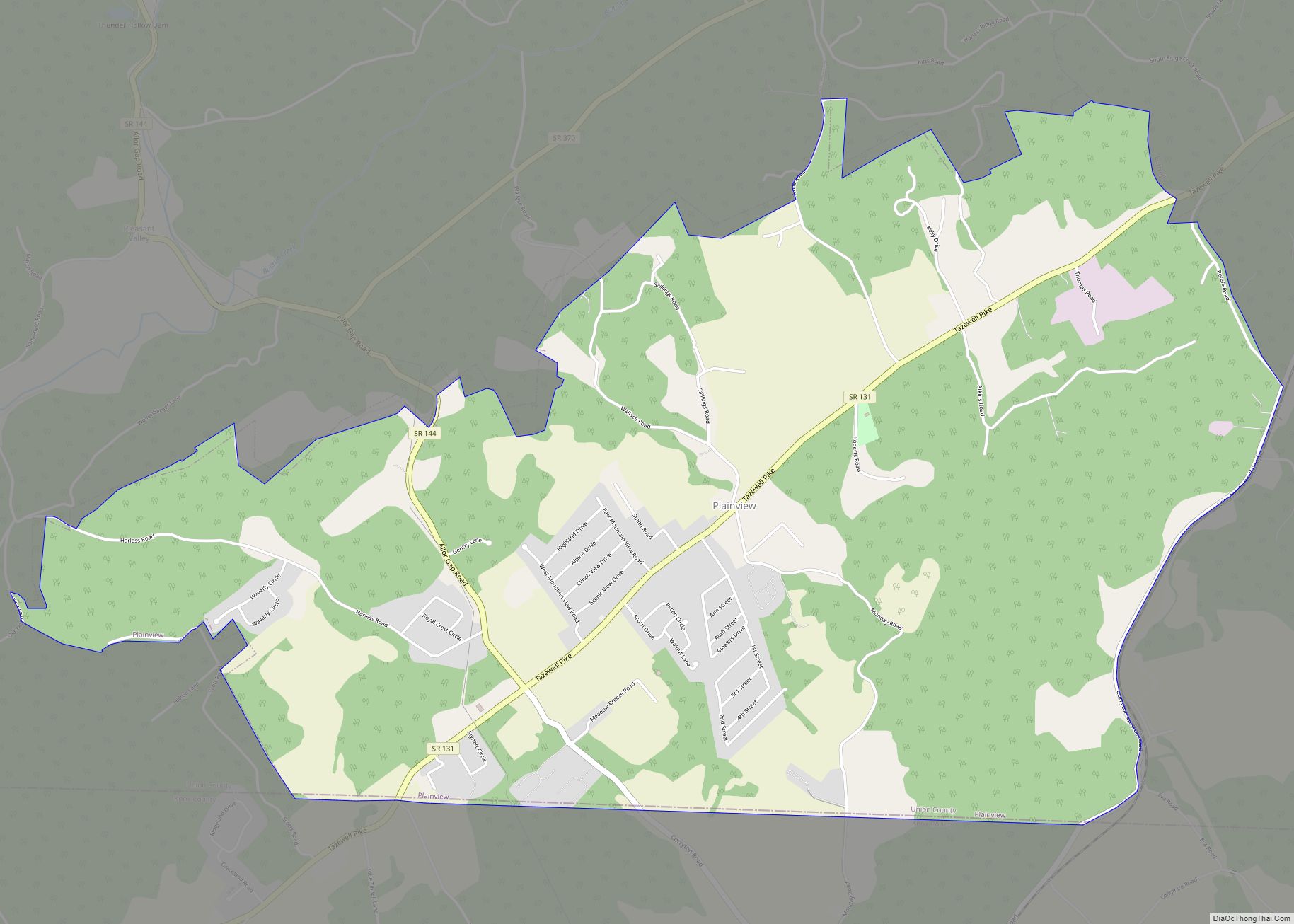
According to the United States Census Bureau, the city has a total area of 3.9 square miles (10 km), all land. The city is situated in a valley between Copper Ridge on the north and Clinch Mountain on the south. Both ridges are characteristic of the Appalachian Ridge-and-Valley range. Luttrell is drained by Flat Creek, a tributary of the Holston River. Plainview borders Luttrell to the southwest.
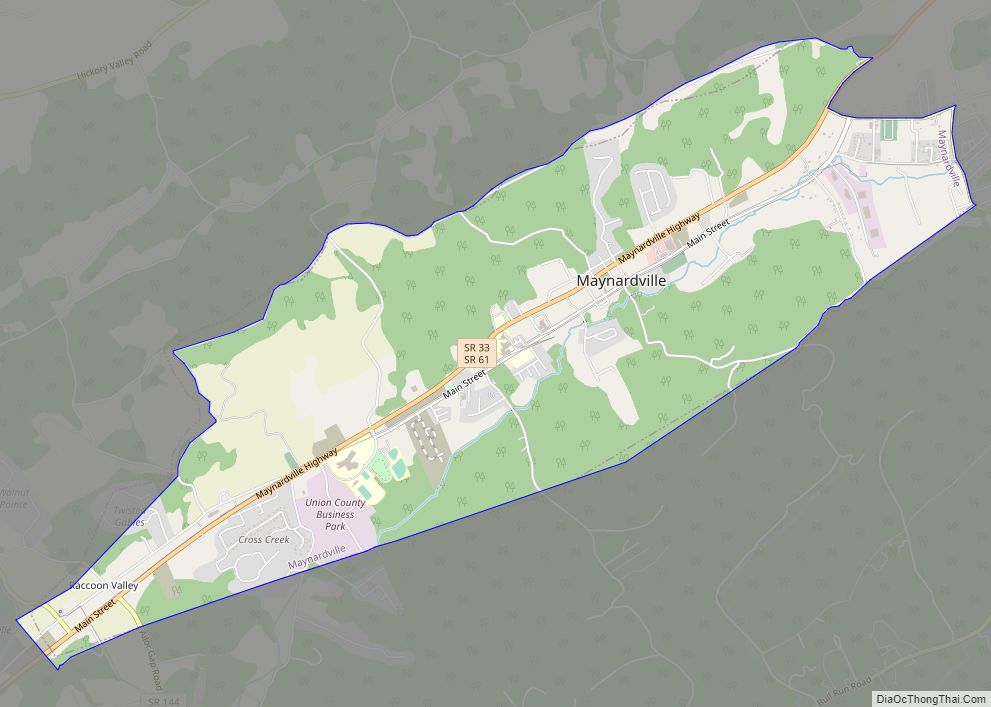
Tennessee State Route 131 and Tennessee State Route 61 intersect in Luttrell. SR 131 connects the city with Plainview to the southwest, and SR 61 connects the city with Maynardville to the north and Blaine to the south.
See also
Map of Tennessee State and its subdivision:- Anderson
- Bedford
- Benton
- Bledsoe
- Blount
- Bradley
- Campbell
- Cannon
- Carroll
- Carter
- Cheatham
- Chester
- Claiborne
- Clay
- Cocke
- Coffee
- Crockett
- Cumberland
- Davidson
- Decatur
- DeKalb
- Dickson
- Dyer
- Fayette
- Fentress
- Franklin
- Gibson
- Giles
- Grainger
- Greene
- Grundy
- Hamblen
- Hamilton
- Hancock
- Hardeman
- Hardin
- Hawkins
- Haywood
- Henderson
- Henry
- Hickman
- Houston
- Humphreys
- Jackson
- Jefferson
- Johnson
- Knox
- Lake
- Lauderdale
- Lawrence
- Lewis
- Lincoln
- Loudon
- Macon
- Madison
- Marion
- Marshall
- Maury
- McMinn
- McNairy
- Meigs
- Monroe
- Montgomery
- Moore
- Morgan
- Obion
- Overton
- Perry
- Pickett
- Polk
- Putnam
- Rhea
- Roane
- Robertson
- Rutherford
- Scott
- Sequatchie
- Sevier
- Shelby
- Smith
- Stewart
- Sullivan
- Sumner
- Tipton
- Trousdale
- Unicoi
- Union
- Van Buren
- Warren
- Washington
- Wayne
- Weakley
- White
- Williamson
- Wilson
- Alabama
- Alaska
- Arizona
- Arkansas
- California
- Colorado
- Connecticut
- Delaware
- District of Columbia
- Florida
- Georgia
- Hawaii
- Idaho
- Illinois
- Indiana
- Iowa
- Kansas
- Kentucky
- Louisiana
- Maine
- Maryland
- Massachusetts
- Michigan
- Minnesota
- Mississippi
- Missouri
- Montana
- Nebraska
- Nevada
- New Hampshire
- New Jersey
- New Mexico
- New York
- North Carolina
- North Dakota
- Ohio
- Oklahoma
- Oregon
- Pennsylvania
- Rhode Island
- South Carolina
- South Dakota
- Tennessee
- Texas
- Utah
- Vermont
- Virginia
- Washington
- West Virginia
- Wisconsin
- Wyoming