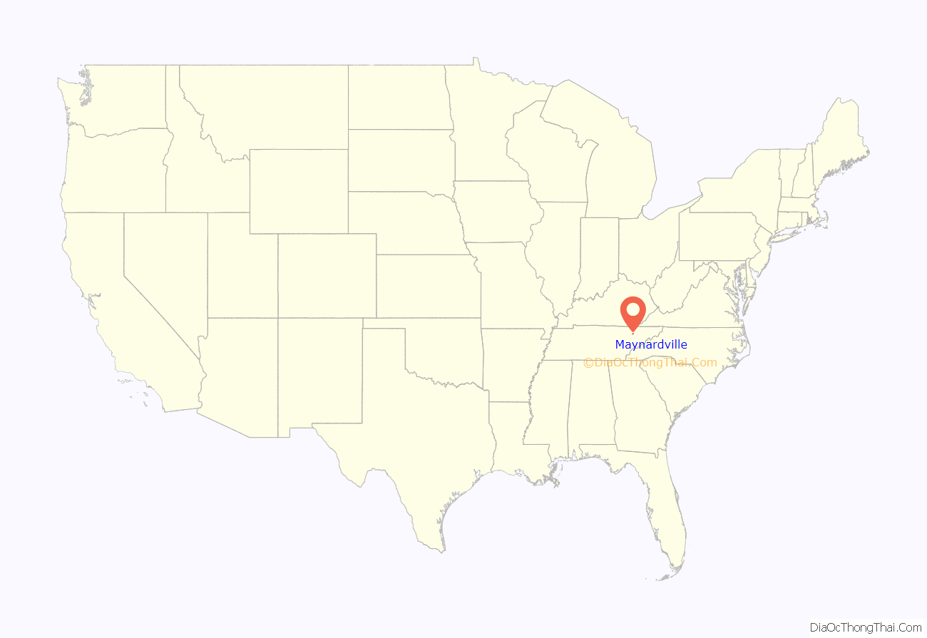
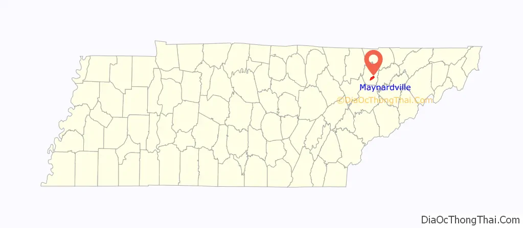
Maynardville (originally named Liberty) is a city in and the county seat of Union County, Tennessee, United States. The city was named to honor Horace Maynard, who successfully defended the creation of Union County from a challenge from Knox County. Its population was 2,413 at the 2010 census, up from 1,782 at the 2000 census. It is included in the Knoxville metropolitan statistical area.
| Name: | Maynardville city |
|---|---|
| LSAD Code: | 25 |
| LSAD Description: | city (suffix) |
| State: | Tennessee |
| County: | Union County |
| Incorporated: | 1870 |
| Elevation: | 1,197 ft (365 m) |
| Total Area: | 5.39 sq mi (13.97 km²) |
| Land Area: | 5.39 sq mi (13.97 km²) |
| Water Area: | 0.00 sq mi (0.00 km²) |
| Total Population: | 2,456 |
| Population Density: | 455.32/sq mi (175.80/km²) |
| ZIP code: | 37807 |
| Area code: | 865 |
| FIPS code: | 4746700 |
| GNISfeature ID: | 2405042 |
| Website: | www.maynardvilletn.com |
Online Interactive Map
Click on ![]() to view map in "full screen" mode.
to view map in "full screen" mode.
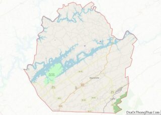
Maynardville location map. Where is Maynardville city?
History
Maynardville began in the early 19th century as a small community known as Liberty. When Union County was created in the 1850s, Liberty, being nearest the center of the county, was chosen as the county seat. The land for the courthouse square was donated by Marcus Monroe (1793–1870), a local minister.
Shortly after the Tennessee General Assembly passed legislation authorizing the creation of Union County, Knox County secured an injunction blocking the creation of the new county, which would take some of its area from Knox County. To defend the new county, its supporters retained the services of Horace Maynard (1814–1882), a Knoxville-area attorney and later U.S. Postmaster General. After Maynard successfully defended the new county in litigation proceedings, Liberty was renamed “Maynardville” in his honor. Union County was formally recognized in 1856.
Country music singer Roy Acuff was born in Maynardville in 1903. The Acuff family had been well-established in Union County since the mid-19th century. When Goodspeed published its History of Tennessee in 1887, the Union County section included a brief biography of Roy’s grandfather, Coram Acuff (1846–1931), who represented Union County in the state legislature.
Throughout the early to mid-20th century, State Route 33 through Maynardville was part of the infamous Thunder Road, which was used by bootleggers to illegally transport and trade moonshine. This story was later fictionally adapted into a 1958 crime-drama film and song of the same name.
Since the dawn of the 21st century, Maynardville has become increasingly suburban with the widening projects of SR 33 (Maynardville Highway) providing quicker access to Knoxville. Plans to redevelop and revitalize Maynardville have been proposed since the 2010s.
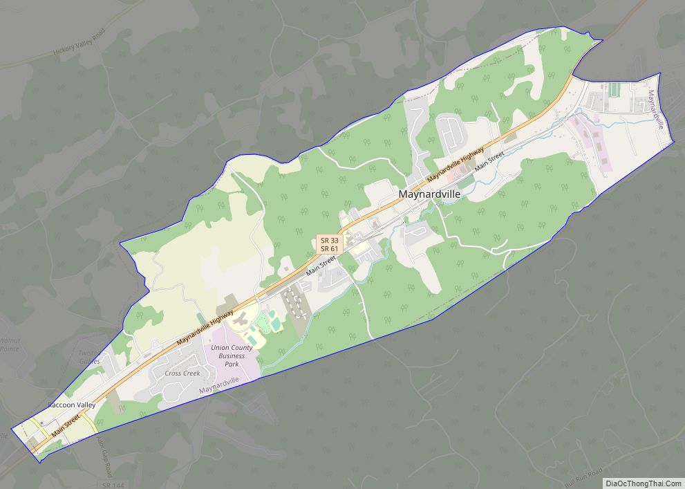
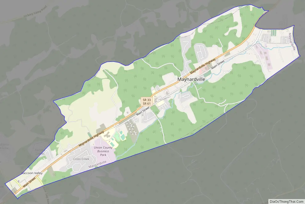
Maynardville Road Map
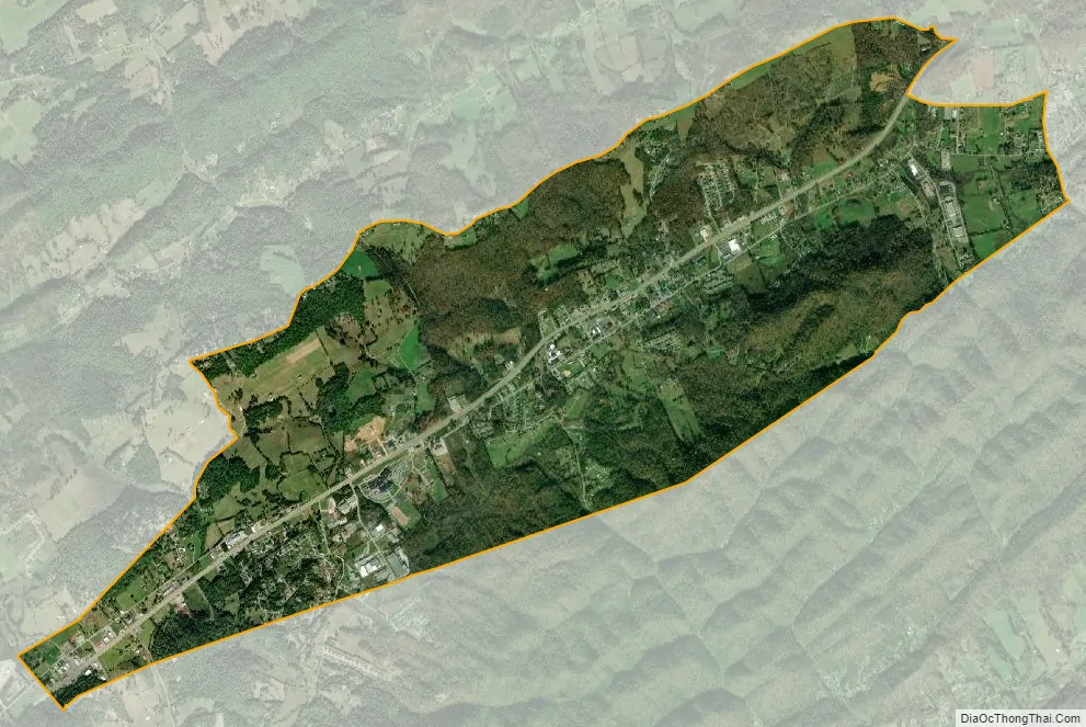
Maynardville city Satellite Map
Geography
Maynardville is situated near the center of Raccoon Valley, a narrow valley stretching for roughly 15 miles (24 km) between Copper Ridge on the south and Hinds Ridge on the north. Like most mountains in the Ridge-and-Valley Appalachians, these two ridges are long and narrow, and often fractured into smaller hills and knobs. The Norris Lake impoundment of the Clinch River is located about 5 miles (8.0 km) north of Maynardville.
Maynardville is concentrated around a stretch of State Route 33, which connects the city to Knoxville 15 miles (24 km) to the southwest and Tazewell 22 miles (35 km) to the northeast. State Route 61 connects Maynardville with Luttrell 8 miles (13 km) and Blaine 13 miles (21 km) to the south, and State Route 144 connects Maynardville with Plainview 8 miles (13 km) to the southwest.
According to the United States Census Bureau, the city has a total area of 5.4 square miles (14 km), all land.
See also
Map of Tennessee State and its subdivision:- Anderson
- Bedford
- Benton
- Bledsoe
- Blount
- Bradley
- Campbell
- Cannon
- Carroll
- Carter
- Cheatham
- Chester
- Claiborne
- Clay
- Cocke
- Coffee
- Crockett
- Cumberland
- Davidson
- Decatur
- DeKalb
- Dickson
- Dyer
- Fayette
- Fentress
- Franklin
- Gibson
- Giles
- Grainger
- Greene
- Grundy
- Hamblen
- Hamilton
- Hancock
- Hardeman
- Hardin
- Hawkins
- Haywood
- Henderson
- Henry
- Hickman
- Houston
- Humphreys
- Jackson
- Jefferson
- Johnson
- Knox
- Lake
- Lauderdale
- Lawrence
- Lewis
- Lincoln
- Loudon
- Macon
- Madison
- Marion
- Marshall
- Maury
- McMinn
- McNairy
- Meigs
- Monroe
- Montgomery
- Moore
- Morgan
- Obion
- Overton
- Perry
- Pickett
- Polk
- Putnam
- Rhea
- Roane
- Robertson
- Rutherford
- Scott
- Sequatchie
- Sevier
- Shelby
- Smith
- Stewart
- Sullivan
- Sumner
- Tipton
- Trousdale
- Unicoi
- Union
- Van Buren
- Warren
- Washington
- Wayne
- Weakley
- White
- Williamson
- Wilson
- Alabama
- Alaska
- Arizona
- Arkansas
- California
- Colorado
- Connecticut
- Delaware
- District of Columbia
- Florida
- Georgia
- Hawaii
- Idaho
- Illinois
- Indiana
- Iowa
- Kansas
- Kentucky
- Louisiana
- Maine
- Maryland
- Massachusetts
- Michigan
- Minnesota
- Mississippi
- Missouri
- Montana
- Nebraska
- Nevada
- New Hampshire
- New Jersey
- New Mexico
- New York
- North Carolina
- North Dakota
- Ohio
- Oklahoma
- Oregon
- Pennsylvania
- Rhode Island
- South Carolina
- South Dakota
- Tennessee
- Texas
- Utah
- Vermont
- Virginia
- Washington
- West Virginia
- Wisconsin
- Wyoming