New Haven is a city in New Haven County, Connecticut, United States. It is located on New Haven Harbor on the northern shore of Long Island Sound and is part of the New York City metropolitan area. With a population of 135,081 as determined by the 2020 U.S. census, New Haven is the third largest city in Connecticut after Bridgeport and Stamford, the largest city in the South Central Connecticut Planning Region, and the principal municipality of Greater New Haven, which had a total 2020 population of 864,835. Prior to 1960, it was the county seat of New Haven County until the county governments were abolished that year.
New Haven was one of the first planned cities in the U.S. A year after its founding by English Puritans in 1638, eight streets were laid out in a four-by-four grid, creating the “Nine Square Plan”. The central common block is the New Haven Green, a 16-acre (6 ha) square at the center of Downtown New Haven. The Green is now a National Historic Landmark, and the “Nine Square Plan” is recognized by the American Planning Association as a National Planning Landmark.
New Haven is the home of Yale University, New Haven’s biggest taxpayer and employer, and an integral part of the city’s economy. Health care, professional and financial services and retail trade also contribute to the city’s economic activity.
The city served as co-capital of Connecticut from 1701 until 1873, when sole governance was transferred to the more centrally located city of Hartford. New Haven has since billed itself as the “Cultural Capital of Connecticut” for its supply of established theaters, museums, and music venues. New Haven had the first public tree planting program in America, producing a canopy of mature trees (including some large elms) that gave the city the nickname “The Elm City”.
| Name: | New Haven city |
|---|---|
| LSAD Code: | 25 |
| LSAD Description: | city (suffix) |
| State: | Connecticut |
| County: | New Haven County |
| Elevation: | 59 ft (18 m) |
| Land Area: | 18.69 sq mi (48.41 km²) |
| Water Area: | 1.44 sq mi (3.74 km²) |
| Population Density: | 7,170/sq mi (2,768.5/km²) |
| Area code: | 203/475 |
| FIPS code: | 0952000 |
| GNISfeature ID: | 0209231 |
| Website: | www.newhavenct.gov |
Ready to explore? Here are the best maps of New Haven, Connecticut, to help you find your way:
New Haven CT Map
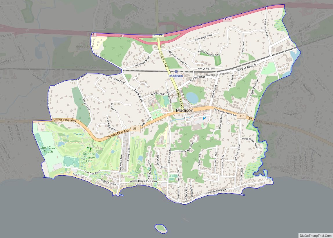
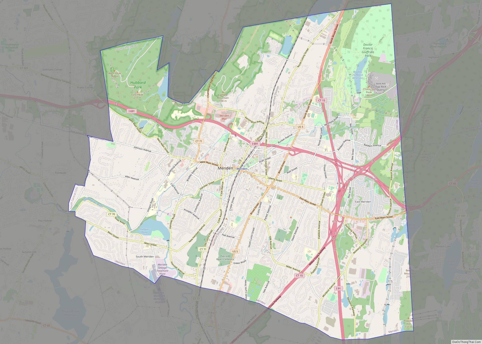
It’s time to explore the city of New Haven, Connecticut. This map collection features roads/highways, points of interest, and things to do in the coastal city in the south of Connecticut. It’s the second-largest city in the state and home to the prestigious Yale University. Whether you are visiting for the first time or a seasoned New Haven local, find out everything there is to know with this New Haven map collection.
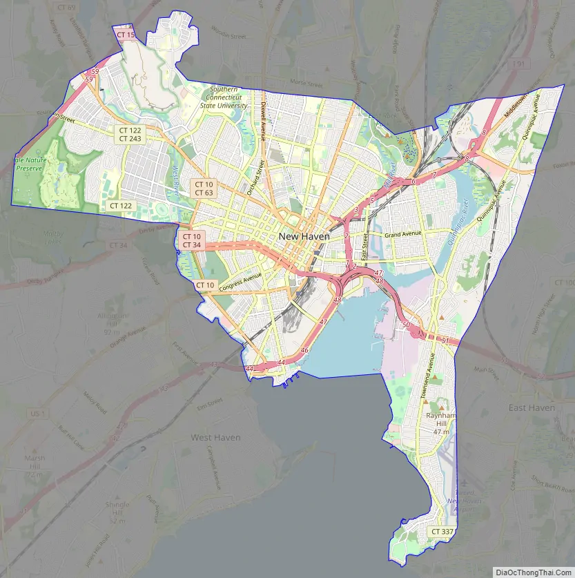
Interactive Google Map of New Haven, Connecticut
Get acquainted by interactively viewing the city in the Google Map of New Haven, Connecticut. Use this as your guide through the city and find local landmarks and ways of transportation.
Ready to Explore?
These maps of New Haven, Connecticut, will help you find your way:
Online Interactive Map
Click on ![]() to view map in "full screen" mode.
to view map in "full screen" mode.
This map has everything you need to know about the city, from where to eat to where to find the best view. This interactive map is incredibly easy to use with the latest updated information for roads and places of interest. From restaurants to parks, and everything in between, this map will help you explore the city and find all the places you want to visit.
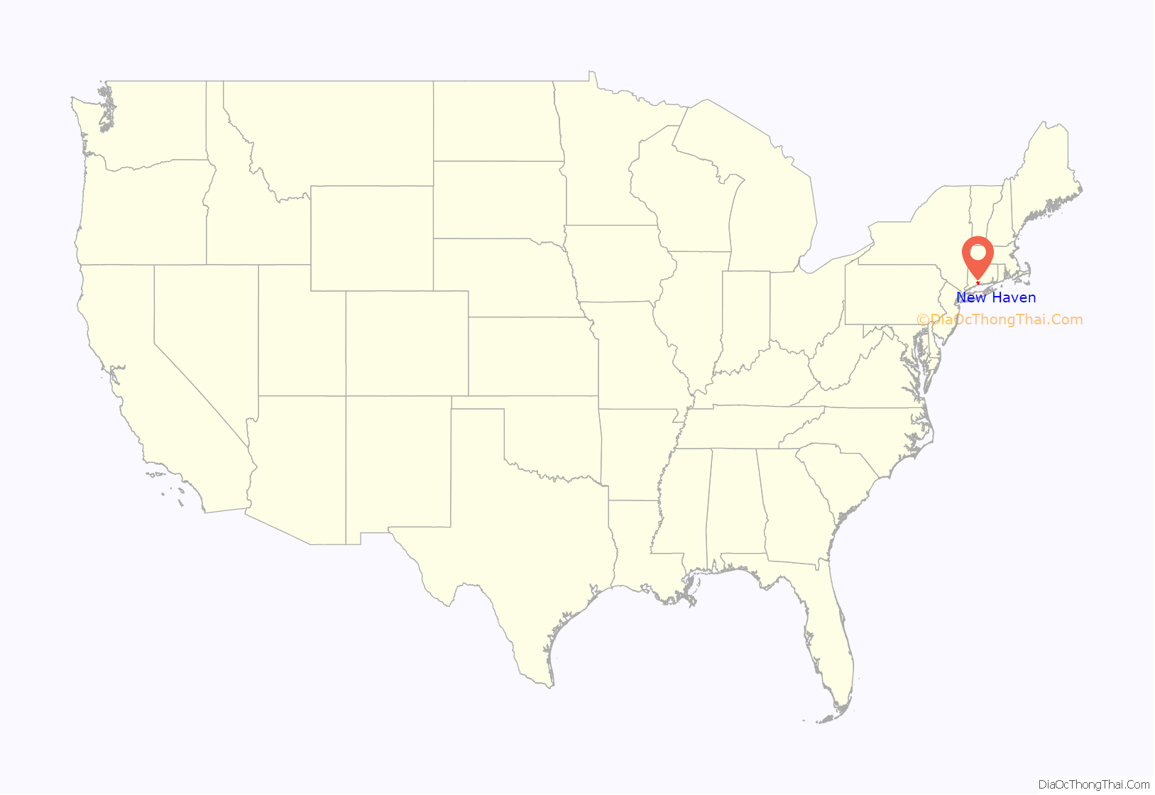
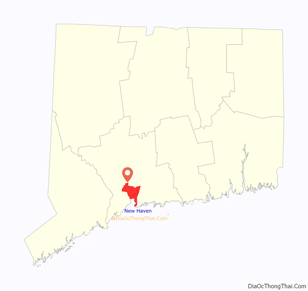
New Haven location map. Where is New Haven city?
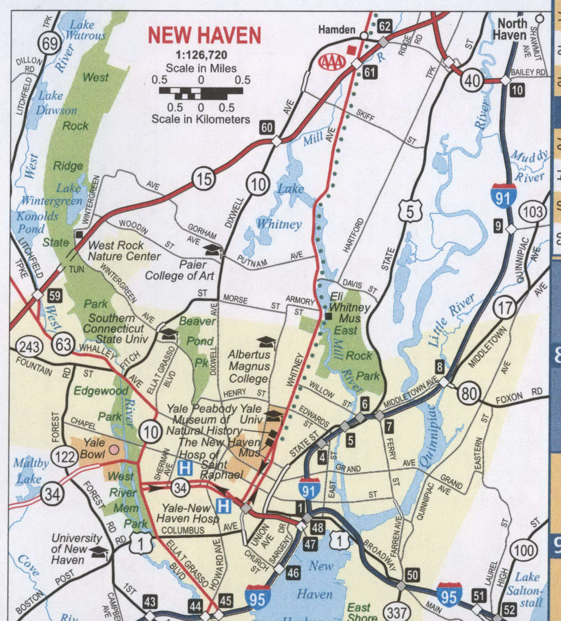
New Haven Road Map
This New Haven road map is your handy travel guide for your trip to the city. With a map at hand, you’ll be able to navigate New Haven’s streets and plan the perfect day. Use this printable map of the city to make your way around the city. Just follow this handy road map and you’ll be able to get from point A to B. For any travel outside New Haven, take a look at the Connecticut road map for more highway information.
Interstate Highways: I-91, I-95
US Highways: 1, 5, 10, 15, 17, 34, 63, 69, 80, 122,
Parkways: Sherman Pky, Tower Pky
Major Roads: Amity Rd, Boston Post Rd, Brewery St, Church St, Columbus Ave, Congress Ave, Derby Ave, Ella T Grasso Blvd, Ferry St, Fitch St, Forbes Ave, Foxon Blvd, Frontage Rd, Fulton St, Kimberly Ave, Legion Ave, Middletown Ave, Orange Ave, Quinnipiac Ave, Sargent Dr, State St, Union Ave, Water St, Whalley Ave
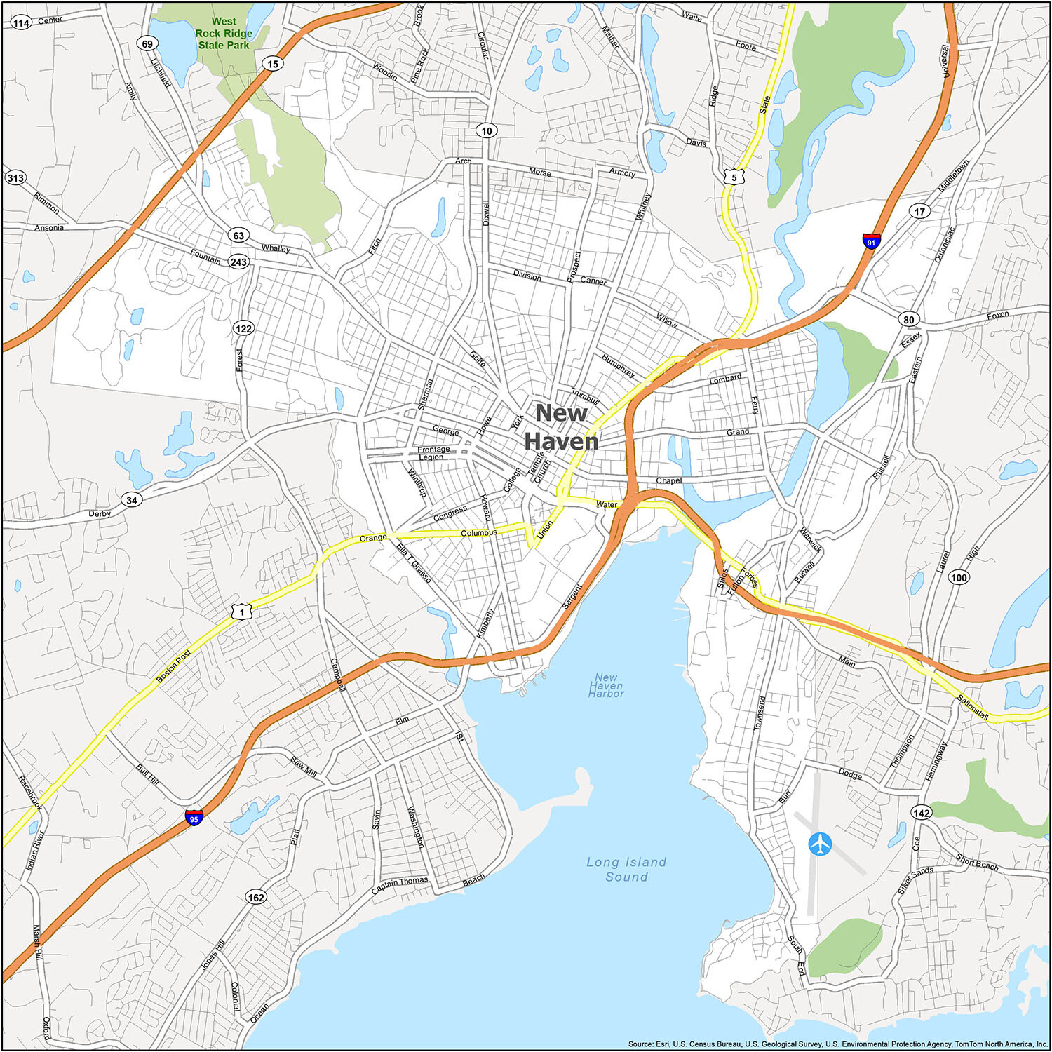
As a resident or visitor to New Haven, Connecticut, you can discover the area with ease using this detailed reference map. It includes all of the major cities, census-designated places, lakes, and parks in the area, so you can easily navigate the city and find your way around. Whether you are walking, driving, or using public transportation, this map will be a helpful guide to explore the city and discover all the points of interest.
10 things to do in New Haven city
New Haven is a city with a rich history and culture that is worth exploring. From Yale University to the Pez Visitor Center, there is something for everyone to enjoy. Whether you’re a history buff or an art lover, you’ll find something unique in this city. So, if you’re looking for a place to explore and experience, New Haven is the perfect destination.
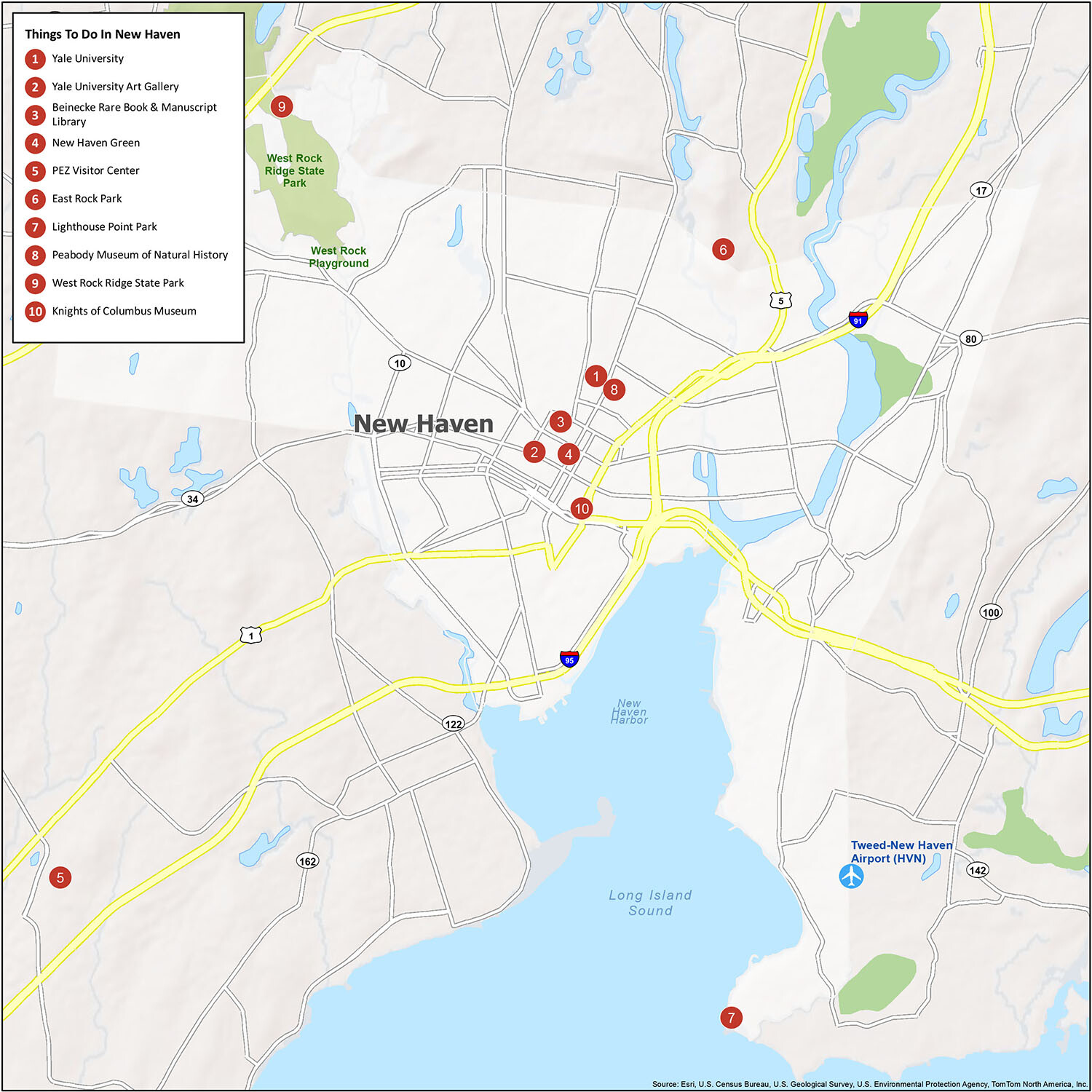
Discover the city and take in its most iconic locations with this map of New Haven, Connecticut. From Yale University to the Pez Visitor Center, explore the top 10 things to do in this remarkable city. Whether you’re a history buff or an art lover, you’ll find something unique in New Haven that you won’t find anywhere else. So, if you’re looking for a place to explore and experience, New Haven is the perfect destination.
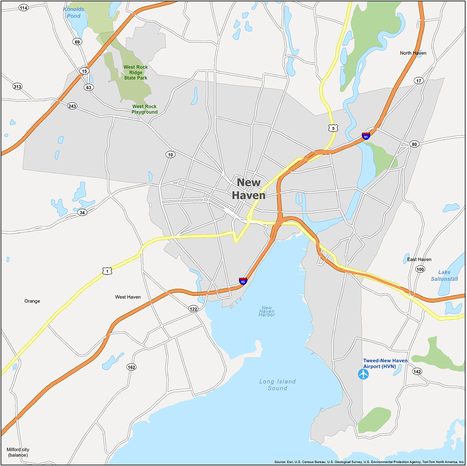
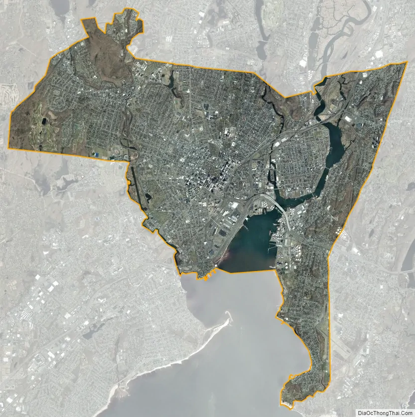
New Haven city Satellite Map
Geography
According to the United States Census Bureau, the city has a total area of 20.1 square miles (52.1 km), of which 18.7 square miles (48.4 km) is land and 1.4 square miles (3.7 km), or 6.67%, is water.
New Haven’s best-known geographic features are its large, shallow harbor, and two reddish basalt trap rock ridges which rise to the northeast and northwest of the city core. These trap rocks are known respectively as East Rock and West Rock, and both serve as extensive parks. West Rock has been tunneled through to make way for the east–west passage of the Wilbur Cross Parkway (the only highway tunnel through a natural obstacle in Connecticut), and once served as the hideout of the “Regicides” (see: Regicides Trail). Most New Haveners refer to these men as “The Three Judges”. East Rock features the prominent Soldiers and Sailors war monument on its peak as well as the “Great/Giant Steps” which run up the rock’s cliffside.
The city is drained by three rivers; the West, Mill, and Quinnipiac, named in order from west to east. The West River discharges into West Haven Harbor, while the Mill and Quinnipiac rivers discharge into New Haven Harbor. Both harbors are embayments of Long Island Sound. In addition, several smaller streams flow through the city’s neighborhoods, including Wintergreen Brook, the Beaver Ponds Outlet, Wilmot Brook, Belden Brook, and Prospect Creek. Not all of these small streams have continuous flow year-round.
Climate
According to the Köppen classification, New Haven is cfa, or a humid subtropical climate, however it borders on a hot-summer humid continental climate. The city has hot, humid summers and cool to cold winters. From May to late September, the weather is typically hot and humid, with average temperatures exceeding 80 °F (27 °C) on 70 days per year. In summer, the Bermuda High creates as southern flow of warm and humid air, with frequent thundershowers. October to early December is normally mild to cool late in the season, while early spring (April) can be cool to warm. Winters are cold with both rain and snow fall. The weather patterns that affect New Haven result from a primarily offshore direction, thus reducing the marine influence of Long Island Sound—although, like other marine areas, differences in temperature between areas right along the coastline and areas a mile or two inland can be large at times. During summer heat waves, temperatures may reach 95 °F (35 °C) or higher on occasion with heat-index values of over 100 °F (38 °C). Tropical cyclones have struck New Haven in the past, including 1938 Hurricane (Long Island Express), Hurricane Carol in 1954, Hurricane Gloria in 1985. The hardiness zone is 7a.
Streetscape
New Haven has a long tradition of urban planning and a purposeful design for the city’s layout. The city could be argued to have some of the first preconceived layouts in the country. Upon founding, New Haven was laid out in a grid plan of nine square blocks; the central square was left open, in the tradition of many New England towns, as the city green (a commons area). The city also instituted the first public tree planting program in America. As in other cities, many of the elms that gave New Haven the nickname “Elm City” perished in the mid-20th century due to Dutch elm disease, although many have since been replanted. The New Haven Green is currently home to three separate historic churches which speak to the original theocratic nature of the city. The Green remains the social center of the city today. It was named a National Historic Landmark in 1970.
Downtown New Haven, occupied by nearly 7,000 residents, has a more residential character than most downtowns. The downtown area provides about half of the city’s jobs and half of its tax base and in recent years has become filled with dozens of new upscale restaurants, in addition to shops and thousands of apartments and condominium units which subsequently help overall growth of the city.
Neighborhoods
The city has many distinct neighborhoods. In addition to Downtown, centered on the central business district and the Green, are the following neighborhoods: the west central neighborhoods of Dixwell and Dwight; the southern neighborhoods of The Hill, historic water-front City Point (or Oyster Point), and the harborside district of Long Wharf; the western neighborhoods of Beaver Hills, Edgewood, West River, Westville, Amity, and West Rock-Westhills; East Rock, Cedar Hill, Prospect Hill, and Newhallville in the northern side of town; the east central neighborhoods of Mill River and Wooster Square, an Italian-American neighborhood; Fair Haven, an immigrant community located between the Mill and Quinnipiac rivers; Quinnipiac Meadows and Fair Haven Heights across the Quinnipiac River; and facing the eastern side of the harbor, The Annex and East Shore (or Morris Cove).
See also
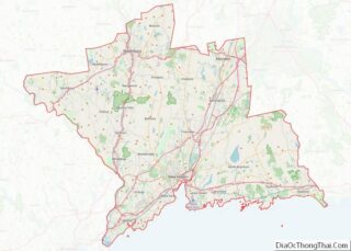
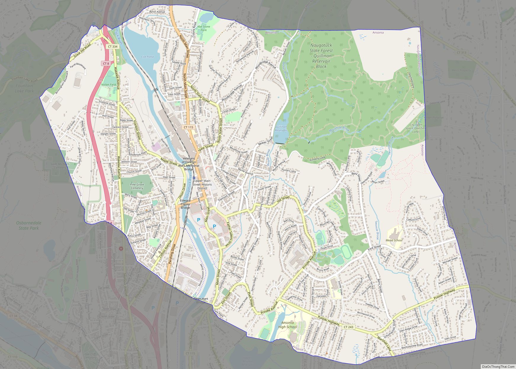
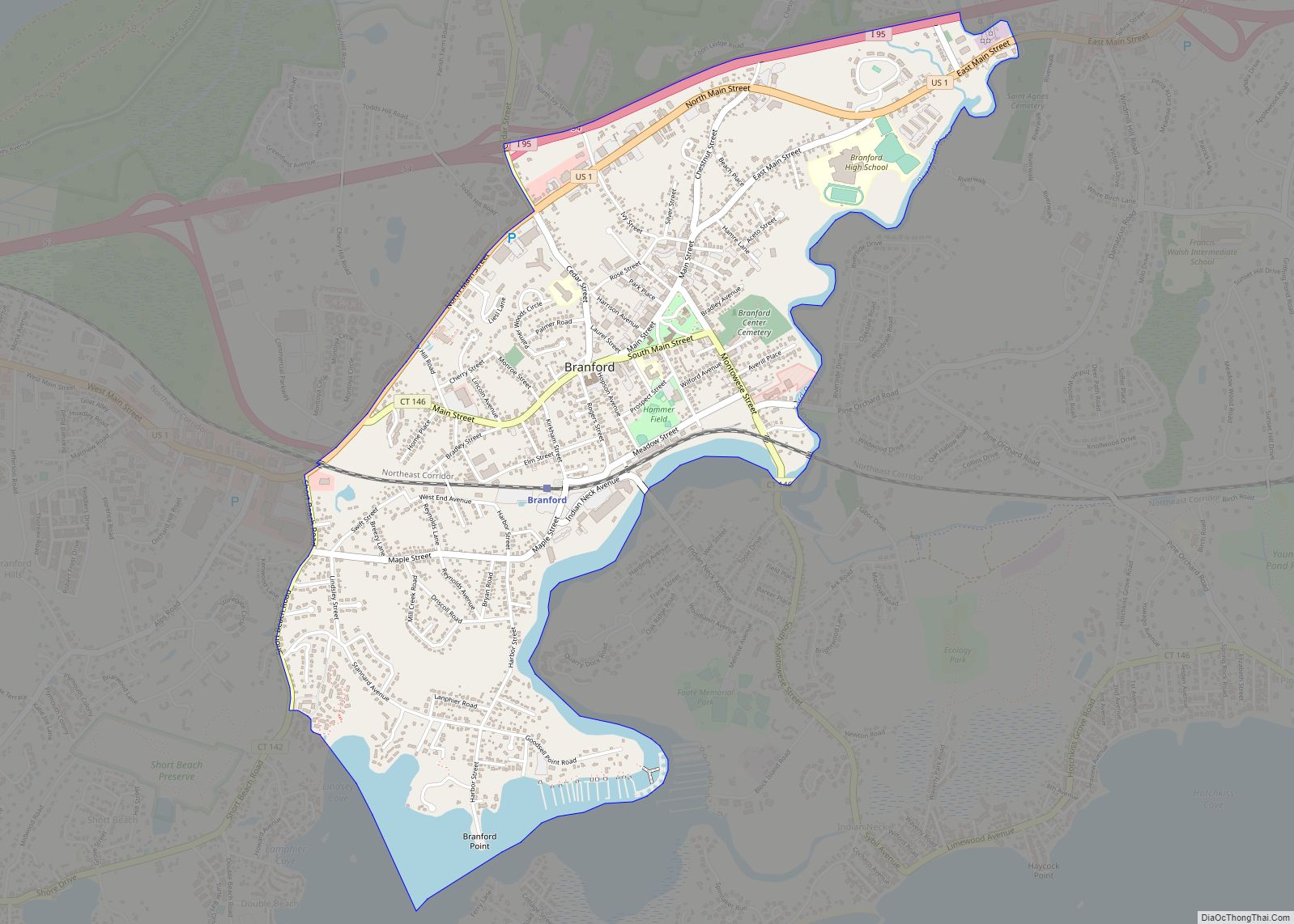
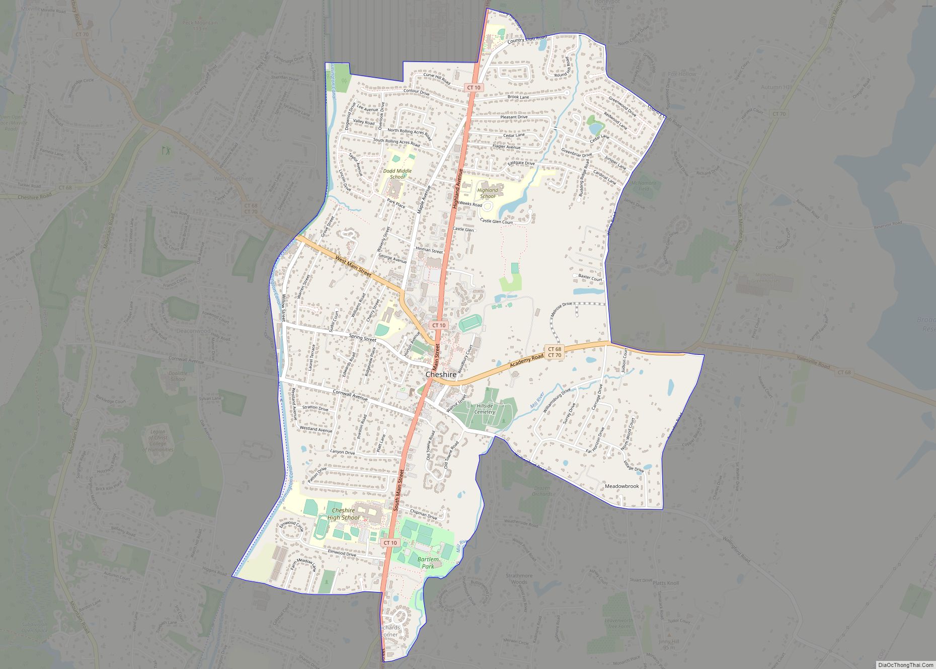
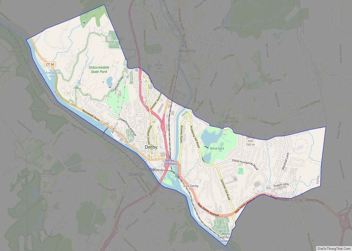
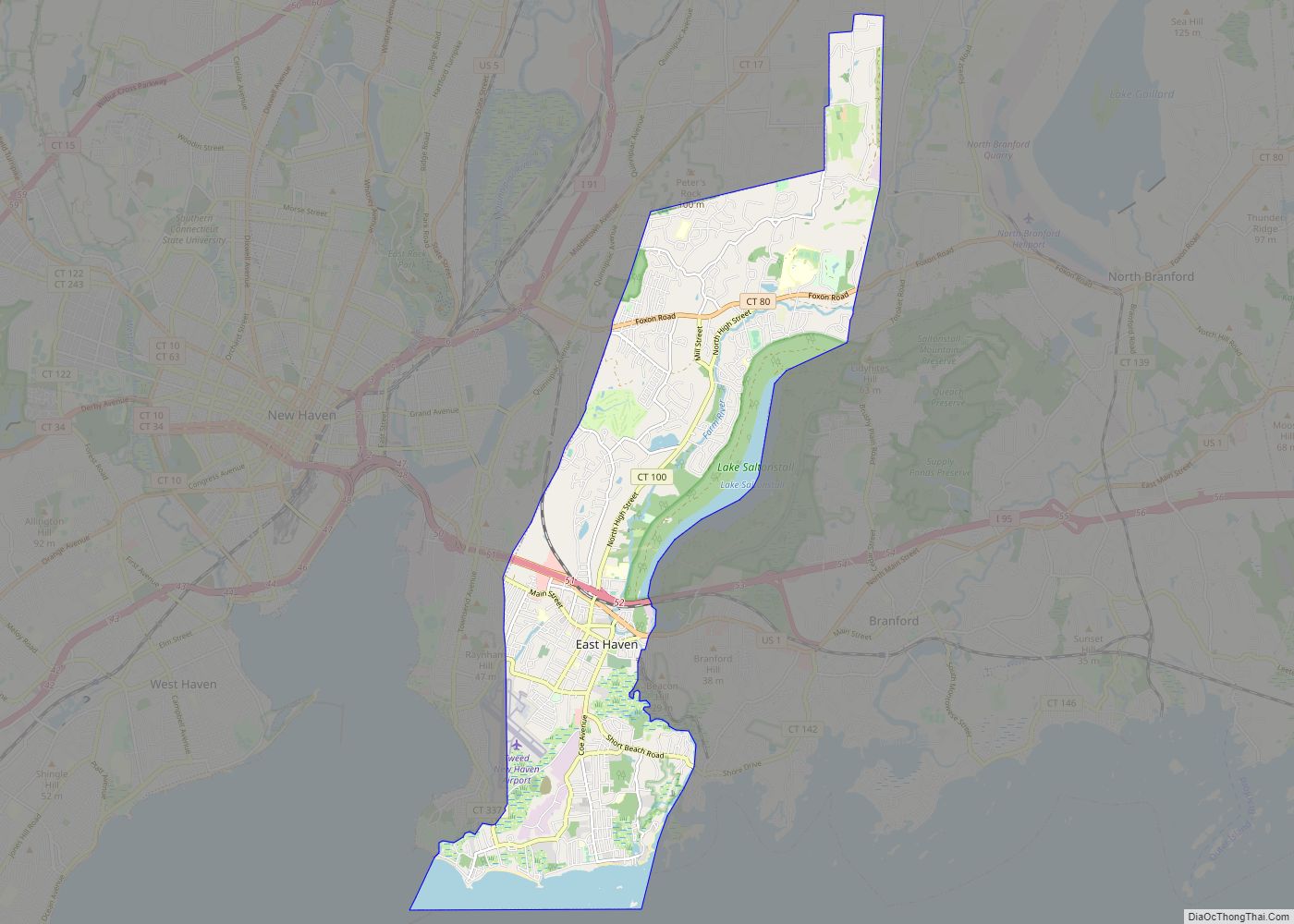
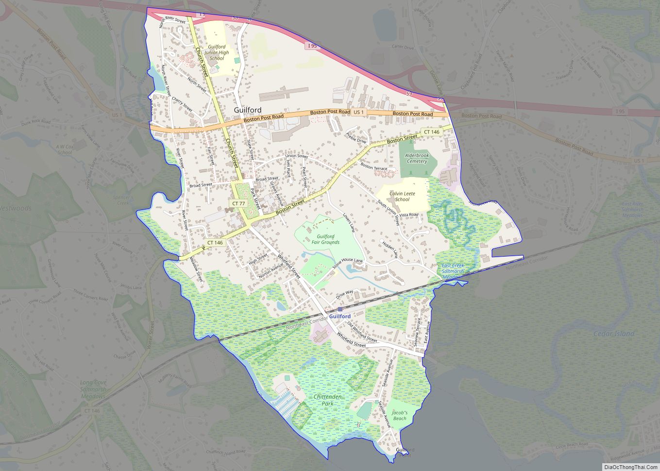
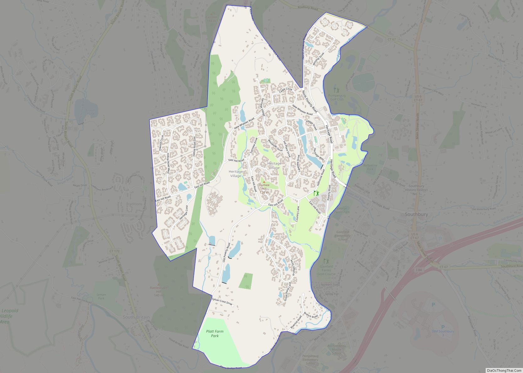
Map of Connecticut State and its subdivision: Map of other states:- Alabama
- Alaska
- Arizona
- Arkansas
- California
- Colorado
- Connecticut
- Delaware
- District of Columbia
- Florida
- Georgia
- Hawaii
- Idaho
- Illinois
- Indiana
- Iowa
- Kansas
- Kentucky
- Louisiana
- Maine
- Maryland
- Massachusetts
- Michigan
- Minnesota
- Mississippi
- Missouri
- Montana
- Nebraska
- Nevada
- New Hampshire
- New Jersey
- New Mexico
- New York
- North Carolina
- North Dakota
- Ohio
- Oklahoma
- Oregon
- Pennsylvania
- Rhode Island
- South Carolina
- South Dakota
- Tennessee
- Texas
- Utah
- Vermont
- Virginia
- Washington
- West Virginia
- Wisconsin
- Wyoming