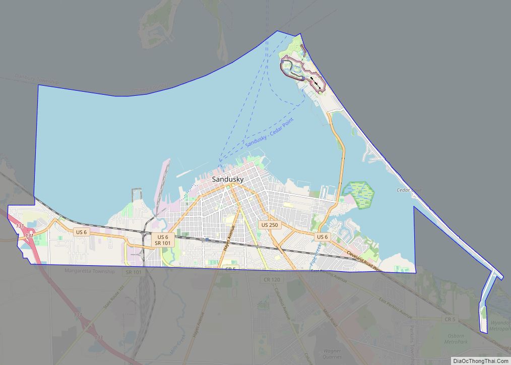
Sandusky (/sænˈdʌski/ san-DUSS-kee) is a city in and the county seat of Erie County, Ohio, United States. Situated along the shores of Lake Erie in the northern part of the state, Sandusky is located roughly midway between Toledo (45 miles (72 km) west) and Cleveland (50 miles (80 km) east). According to 2020 census, the city had ... Read more
Map of US Cities and Places
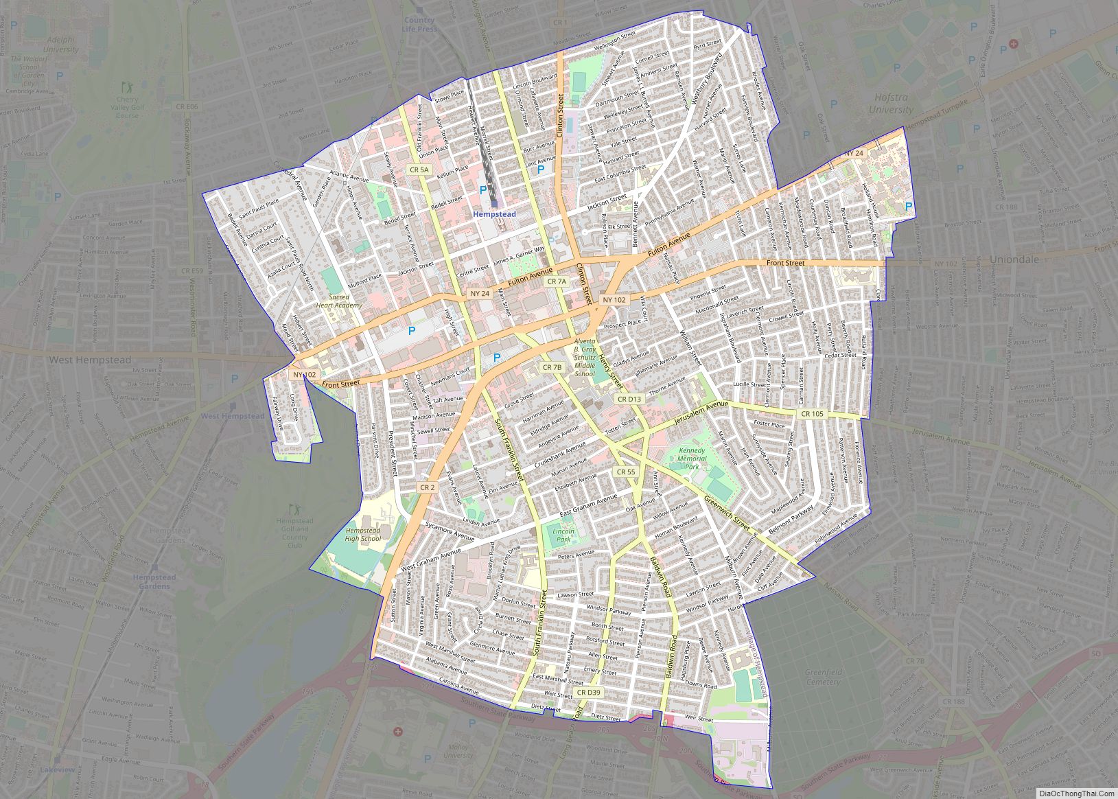
Hempstead is a village located in the Town of Hempstead in Nassau County, on Long Island, in New York, United States. The population was 59,169 at the 2020 census, making it the most populous village in New York. The Incorporated Village of Hempstead is the site of the seventeenth-century “town spot” from which English and ... Read more
Albany (/ˈɔːlbəni/ (listen) AWL-bən-ee) is the capital city of the U.S. state of New York and the seat of Albany County. It is located on the west bank of the Hudson River, about 10 miles (16 km) south of its confluence with the Mohawk River, and about 135 miles (220 km) north of New York City. The ... Read more
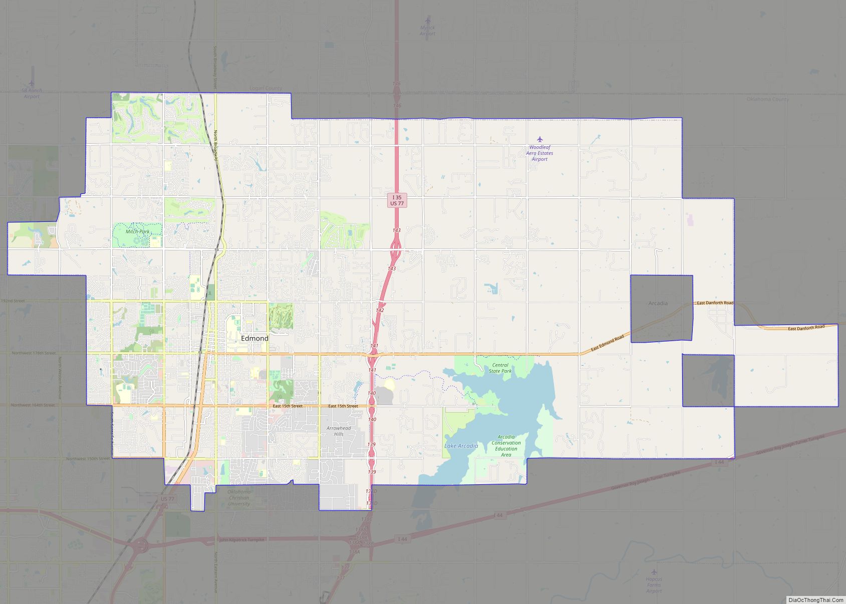
Edmond is a city in Oklahoma County, Oklahoma, United States, and a part of the Oklahoma City metropolitan area in the central part of the state. The population was 94,428 according to the 2020 United States Census, a 16% increase from 2010. making it the fifth largest city in Oklahoma. The city borders the northern ... Read more
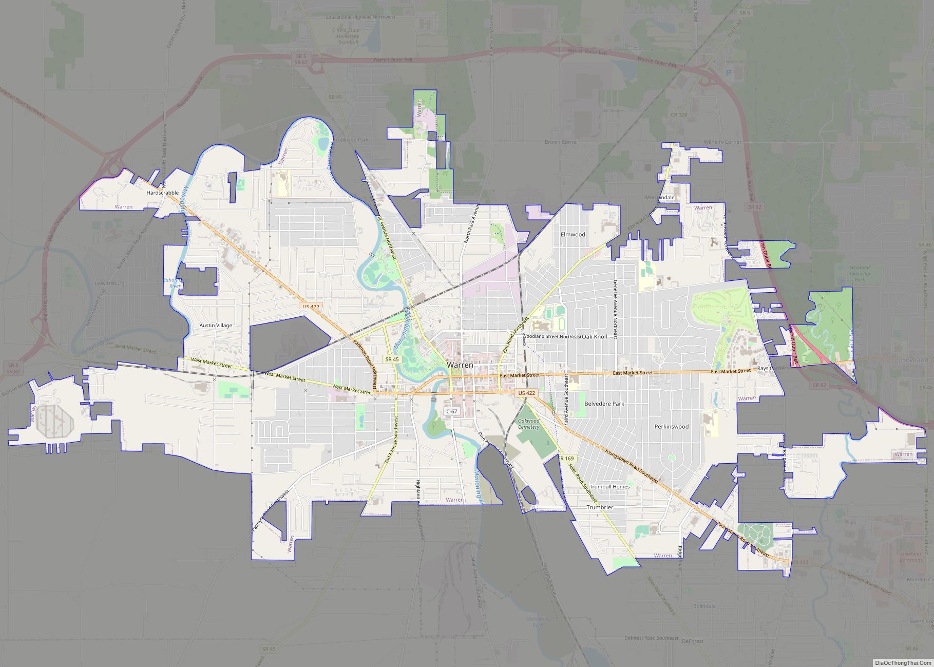
Warren is a city in and the county seat of Trumbull County, Ohio, United States. Located along the Mahoning River, Warren lies approximately 14 miles (23 km) northwest of Youngstown and 56 miles (90 km) southeast of Cleveland. The population was 39,201 at the 2020 census. The historical county seat of the Connecticut Western Reserve, it is ... Read more
Springfield is a city in the U.S. state of Ohio and the county seat of Clark County. The municipality is located in southwestern Ohio and is situated on the Mad River, Buck Creek, and Beaver Creek, approximately 45 miles (72 km) west of Columbus and 25 miles (40 km) northeast of Dayton. Springfield is home to Wittenberg ... Read more
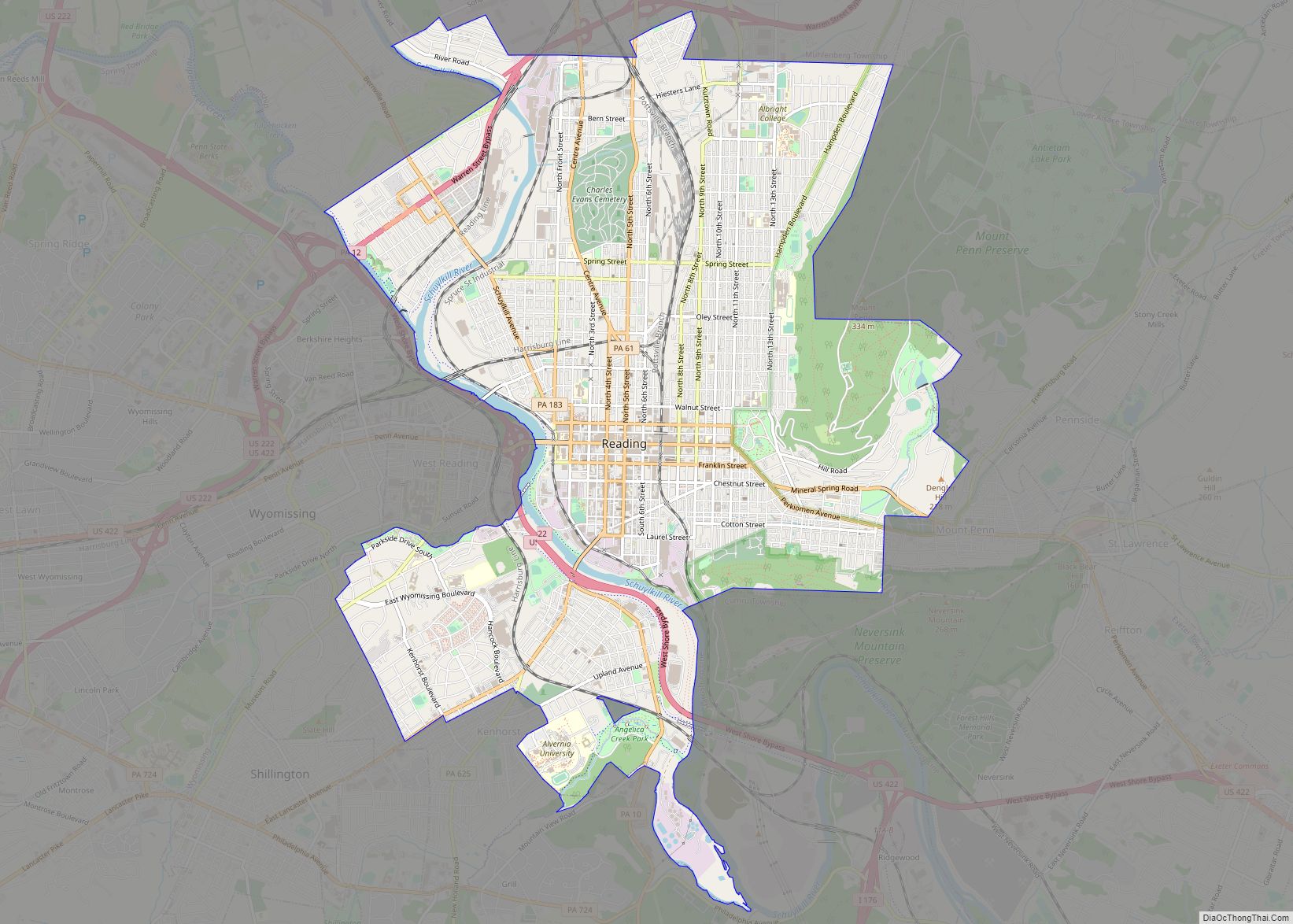
Reading (/ˈrɛdɪŋ/ RED-ing; Pennsylvania Dutch: Reddin) is a city in and the county seat of Berks County, Pennsylvania, United States. The city had a population of 95,112 at the 2020 census and is the fourth-largest city in Pennsylvania after Philadelphia, Pittsburgh, and Allentown. Reading is located in the southeastern part of the state and is ... Read more
Harrisburg is the capital city of the Commonwealth of Pennsylvania, United States, and the seat of Dauphin County. With a population of 50,135 as of 2021, Harrisburg is the ninth-largest city and 15th-largest municipality in Pennsylvania. Harrisburg is situated on the east bank of the Susquehanna River. It is the larger principal city of the ... Read more
Erie (/ˈɪəri/; EER-ee) is a city on the south shore of Lake Erie and the county seat of Erie County, Pennsylvania, United States. Erie is the fifth largest city in Pennsylvania and the largest city in Northwestern Pennsylvania with a population of 94,831 at the 2020 census. The estimated population in 2023 had decreased to ... Read more
Newport is a seaside city on Aquidneck Island in Newport, Rhode Island, United States. It is located in Narragansett Bay, approximately 33 miles (53 km) southeast of Providence, 20 miles (32 km) south of Fall River, Massachusetts, 74 miles (119 km) south of Boston, and 180 miles (290 km) northeast of New York City. It is known as a ... Read more
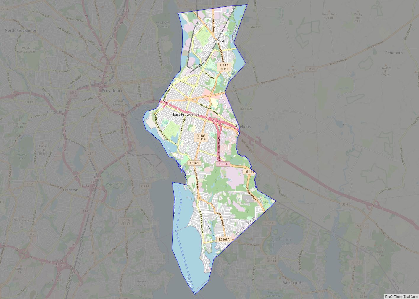
East Providence is a city in Providence County, Rhode Island, United States. The population was 47,139 at the 2020 census, making it the fifth-largest city in the state. East Providence city overview: Name: East Providence city LSAD Code: 25 LSAD Description: city (suffix) State: Rhode Island County: Providence County Elevation: 62 ft (19 m) Total Area: 16.61 sq mi ... Read more
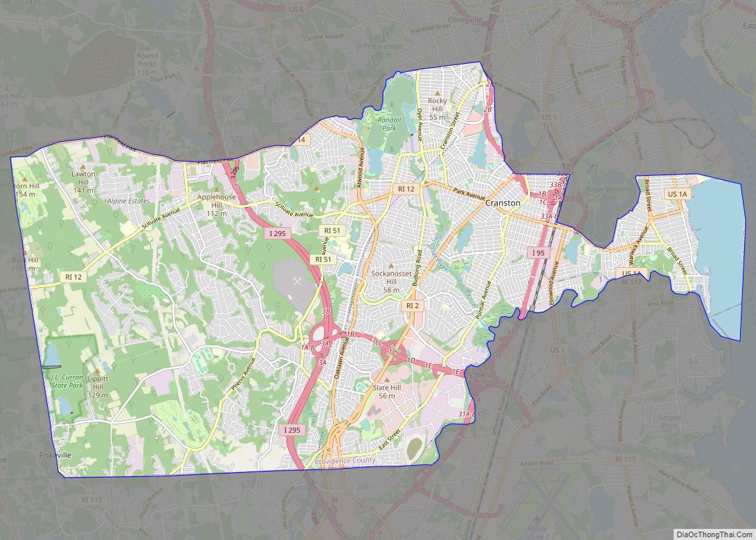
Cranston, once known as Pawtuxet, is a city in Providence County, Rhode Island, United States. The official population of the city in the 2020 United States Census was 82,934, making it the second largest in the state. The center of population of Rhode Island is located in Cranston. Cranston is a part of the Providence ... Read more
