Erie (/ˈɪəri/; EER-ee) is a city on the south shore of Lake Erie and the county seat of Erie County, Pennsylvania, United States. Erie is the fifth largest city in Pennsylvania and the largest city in Northwestern Pennsylvania with a population of 94,831 at the 2020 census. The estimated population in 2023 had decreased to 92,743. The Erie metropolitan area, equivalent to all of Erie County, consists of 266,096 residents. The Erie–Meadville combined statistical area had a population of 369,331 at the 2010 census.
Erie is roughly equidistant from Buffalo and Cleveland, each being about 100 miles (160 kilometers) away. Erie’s manufacturing sector remains prominent in the local economy, though insurance, healthcare, higher education, technology, service industries, and tourism are emerging as significant economic drivers. As with the other Great Lakes port cities, Erie is accessible to the oceans via the Lake Ontario and St. Lawrence River network in Canada. The local climate is humid, four-seasonal, and snowy but retains moderated winters thanks to the lakeside location.
The city was named for the Native American Erie people who lived in the area until the mid-17th century. It is known as the “Flagship City” because of its status as the home port of Oliver Hazard Perry’s flagship Niagara. It is also known as the “Gem City” because of the lake’s sparkling appearance caused by the daylight. Erie won the All-America City Award in 1972. In 2012, Erie hosted the Perry 200, a commemoration celebrating 200 years of peace between Britain, America, and Canada following the War of 1812 and Battle of Lake Erie.
| Name: | Erie city |
|---|---|
| LSAD Code: | 25 |
| LSAD Description: | city (suffix) |
| State: | Pennsylvania |
| County: | Erie County |
| Founded: | April 18, 1795 (1795-04-18) |
| Incorporated: | April 14, 1851 (1851-04-14) |
| Elevation: | 728 ft (222 m) |
| Land Area: | 19.13 sq mi (49.55 km²) |
| Water Area: | 0.24 sq mi (0.61 km²) about 1.04% |
| Population Density: | 4,956.67/sq mi (1,913.81/km²) |
| FIPS code: | 4224000 |
| Website: | www.erie.pa.us |
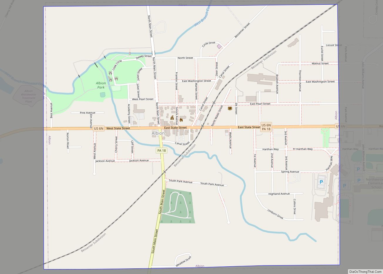
Online Interactive Map
Click on ![]() to view map in "full screen" mode.
to view map in "full screen" mode.
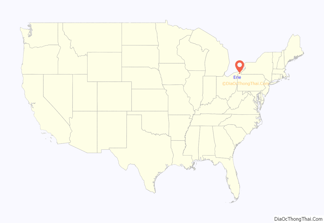
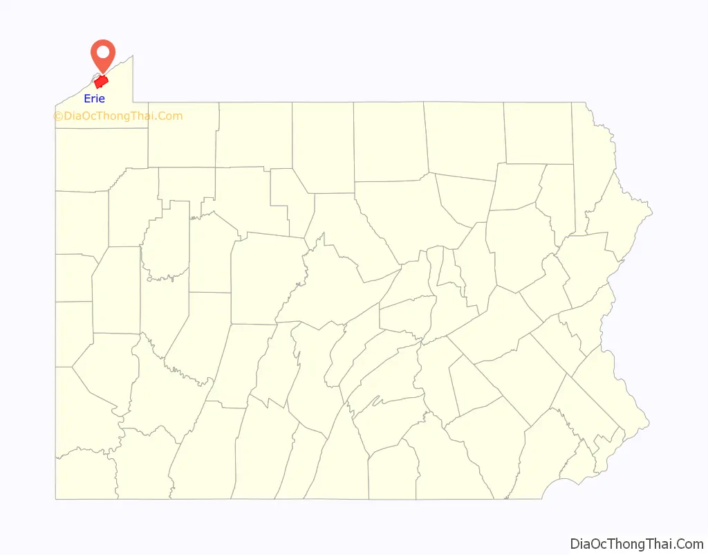
Erie location map. Where is Erie city?
History
Indigenous peoples occupied the shoreline and bluffs in this area for thousands of years, taking advantage of the rich resources. The Sommerheim Park Archaeological District in Millcreek Township west of the city, includes artifacts from the Archaic period in the Americas and the Early and Middle Woodland Period, roughly a span from 8,000 BCE to 500 CE.
Europeans first arrived as settlers in the region when the French constructed Fort Presque Isle near present-day Erie in 1753, as part of their effort to defend New France against the encroaching British colonists. The name of the fort refers to the peninsula that juts into Lake Erie, now protected as Presque Isle State Park. The French term presque-isle means peninsula (from the Latin paene and insula, both literally, “almost an island”). When the French abandoned the fort in 1760 during the French and Indian War (Seven Years’ War), it was the last post they held west of Niagara. The British established a garrison at the fort at Presque Isle that same year, three years before the end of the French and Indian War.
Erie is in what was the disputed Erie Triangle, a tract of land comprising 202,187 acres in the northwest corner of Pennsylvania fronting Lake Erie that was claimed after the American Revolutionary War by the states of New York, Pennsylvania, Connecticut (as part of its Western Reserve), and Massachusetts.
18th century
The Iroquois claimed ownership first, so a conference was arranged for on January 9, 1789, wherein representatives from the Iroquois signed a deed relinquishing their ownership of the land. The price for it was $2,000 from Pennsylvania and $1,200 from the federal government. The Seneca Nation separately settled land claims against Pennsylvania in February 1791 for the sum of $800. It became a part of Pennsylvania on March 3, 1792, after Connecticut, Massachusetts, and New York relinquished their rights to the land and sold the land to Pennsylvania for 75 cents per acre or a total of $151,640.25 in continental certificates.
The General Assembly of Pennsylvania commissioned the surveying of land near Presque Isle through an act passed on April 18, 1795. Andrew Ellicott, who completed Pierre Charles L’Enfant’s survey of Washington, D.C., and helped resolve the boundary between Pennsylvania and New York, arrived to begin the survey and lay out the plan for the city in June 1795. The initial settlement of the area began that year. Lt. Colonel Seth Reed and his family moved to the Erie area from Geneva, New York; they were Yankees from Uxbridge, Massachusetts. They became the first European-American settlers of Erie, at what became known as “Presque Isle”.
19th century
President James Madison began the construction of a naval fleet during the War of 1812 to gain control of the Great Lakes from the British. Daniel Dobbins of Erie and Noah Brown of Boston were notable shipbuilders who led the construction of four schooner−rigged gunboats and two brigs. Commodore Oliver Hazard Perry arrived from Rhode Island and led the squadron to success in the historic Battle of Lake Erie.
Erie was an important shipbuilding, fishing, and railroad hub during the mid-19th century. The city was the site where three sets of track gauges met. While the delays engendered cargo troubles for commerce and travel, they provided much-needed local jobs in Erie. When a national standardized gauge was proposed, those jobs, and the importance of the rail hub itself, were put in jeopardy. In an event known as the Erie Gauge War, the citizens of Erie, led by the mayor, set fire to bridges, ripped up tracks, and rioted to try to stop the standardization.
20th and 21st centuries
On August 3, 1915, the Mill Creek flooded downtown Erie. A culvert, or a tunnel, was blocked by debris and collapsed. A four-block reservoir, caused by torrential downpours, had formed behind it. The resulting deluge destroyed 225 houses and killed 36 people. After the flood, Mayor Miles Brown Kitts had the Mill Creek directed into another, larger culvert, constructed under more than 2 miles of the city, before emptying into Presque Isle Bay on the city’s lower east side.
Downtown Erie continued to grow for most of the 20th century, based on its manufacturing base. The city attracted numerous waves of European immigrants for industrial jobs. Erie was considered a wet city during the Prohibition Era in the United States. The city’s economy began to suffer in the latter part of the 20th century as industrial restructuring took place and jobs moved out of the area, as it was considered part of the Rust Belt. The importance of American manufacturing, US steel and coal production, and commercial fishing began to gradually decline, resulting in a major population downturn in the 1970s.
With the advent of the automobile age after World War II and government subsidies for highway construction, thousands of residents left Erie for suburbs such as Millcreek Township, which now has 55,000 residents. This caused a decline in retail businesses, some of which followed to the suburbs. Reflecting this perceived decline, Erie is occasionally referred to by residents as “The Mistake on the Lake” or “Dreary Erie”.
Erie won the All-America City Award in 1972 and was a finalist in 1961, 1994, 1995, and 2009.
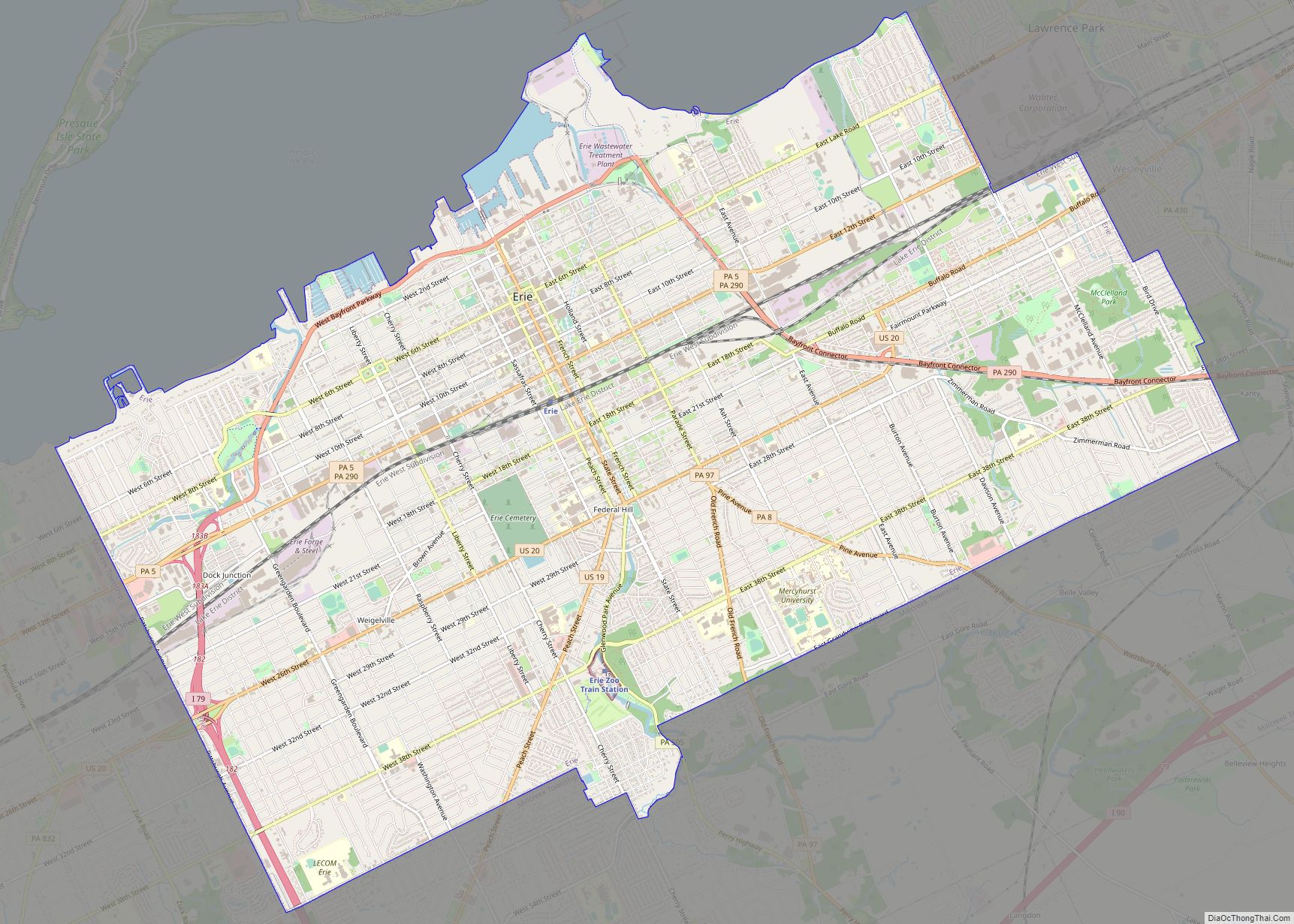
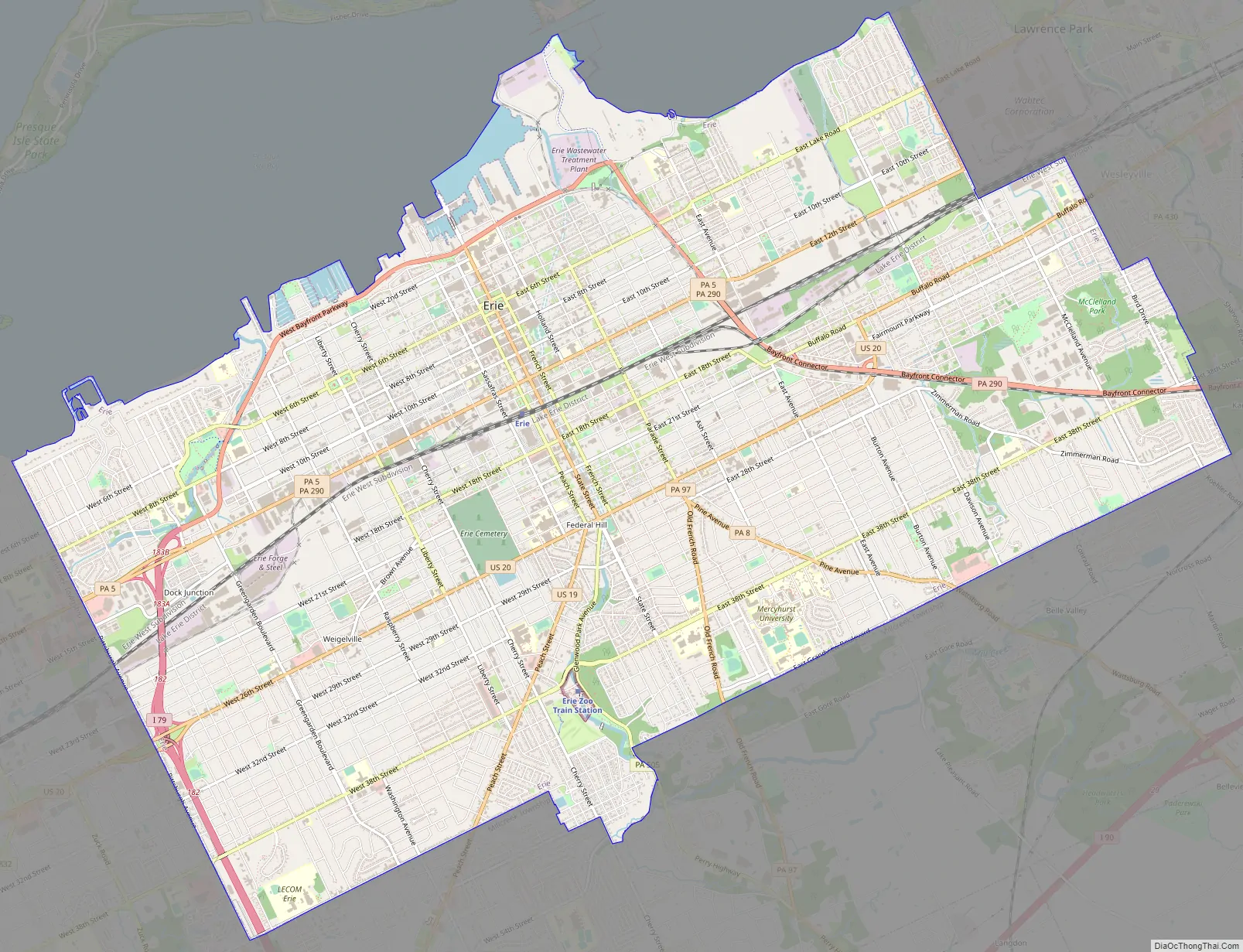
Erie Road Map
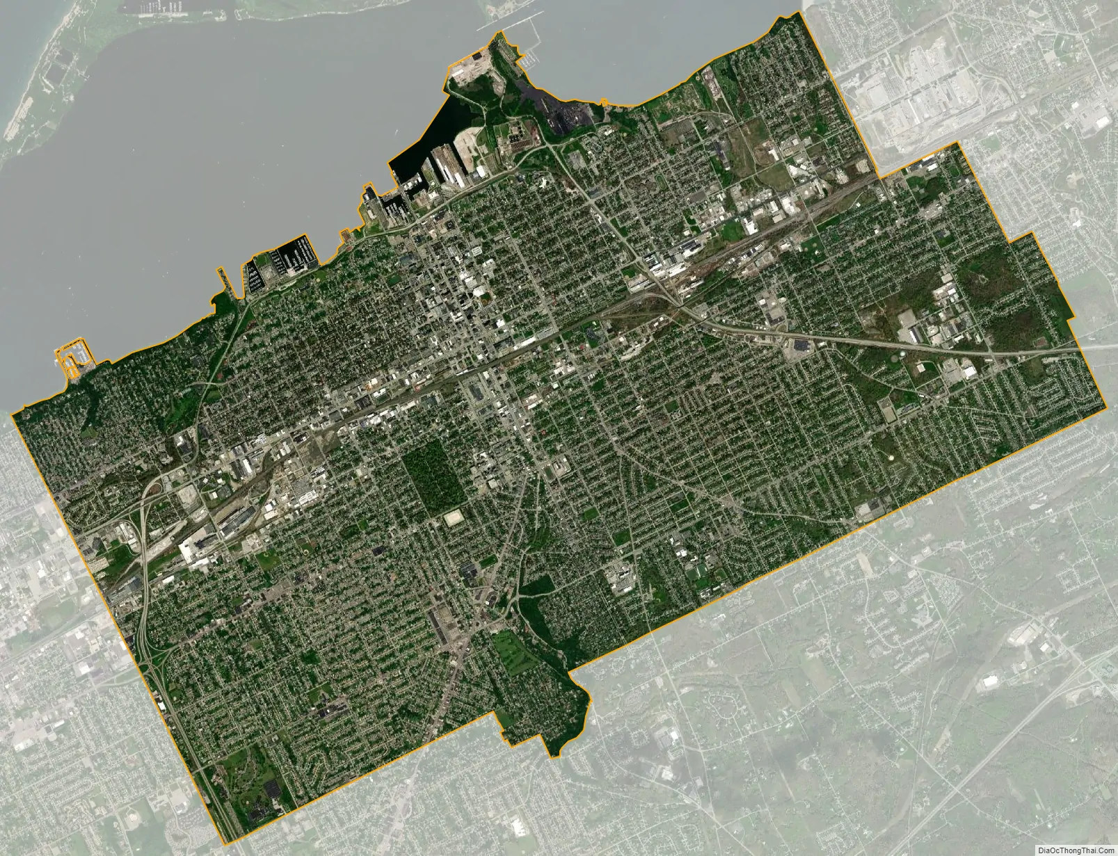
Erie city Satellite Map
Geography
Erie is situated in Northwestern Pennsylvania at 42°6′52″N 80°4′34″W / 42.11444°N 80.07611°W / 42.11444; -80.07611 (42.114507, -80.076213), on the southern shore of Lake Erie across from the Canadian province of Ontario. It is 100 miles (160 km) northeast of Cleveland, Ohio, 90 miles (140 km) southwest of Buffalo, New York, and 128 miles (206 km) north of Pittsburgh. Erie’s bedrock is Devonian shale and siltstone, overlain by glacial tills and stratified drift. Stream drainage in the city flows northward into Lake Erie, then through Lake Ontario into the St. Lawrence River, and out to the Atlantic Ocean. South of Erie is a drainage divide, beyond which most of the streams in western Pennsylvania flow south into the Allegheny or Ohio Rivers. Lake Erie is about 571 ft (174 m) above sea level, while the city of Erie is about 728 ft (222 m) above sea level.
According to the U.S. Census Bureau, the city has a total area of 19.3 square miles (49.9 km), with 19.1 square miles (49.4 km) being land and the remaining 0.2 square miles (0.5 km), or 1.03%, being water. Presque Isle State Park (known to the locals as “The Peninsula”), juts into Lake Erie just north of the city limits and has 7 miles (11 km) of public beaches, wetlands, and fishing sites.
Erie is laid out in a grid surrounding Perry Square in the downtown area. The downtown buildings are separated from the waterfront by the Bayfront Parkway. The tallest structure in Erie is St. Peter Cathedral at 265 ft (81 m), and the tallest building is Renaissance Centre at 198 ft (60 m). Erie has generally small ethnic neighborhoods, including Little Italy. South of 38th Street, the grid gives way to curvilinear roads of post-1970 suburban development. Millcreek Township and upper Peach Street in Summit Township include the Erie metropolitan area’s newer developments.
Most of the cityscape includes renovated and refurbished factory buildings, midrise housing, single-family homes, and office buildings. Erie’s waterfront includes the Burger King Amphitheater and surrounding parkland, which hosts numerous festivals. The Bayfront Convention Center is on Sassafras Pier next to Dobbins Landing. The Bicentennial Tower is centrally located in the skyline when viewed from Presque Isle State Park, with the high-rise and midrise buildings flanking the higher ground behind and to the east and west sides. On the east end of the waterfront, the Erie Maritime Museum and the city’s main library, and third-largest in Pennsylvania, host the USS Niagara. Docks and marinas fill the freshwater shoreline in between.
Climate
Under the Köppen climate classification, Erie falls within either a hot-summer humid continental climate (Dfa) if the 0 °C (32 °F) isotherm is used or a humid subtropical climate (Cfa) if the −3 °C (27 °F) isotherm is used. It is located in the snow belt that stretches from Cleveland to Syracuse and Watertown; winters are moderately cold, with heavy lake-effect snow, but also with occasional stretches of mild weather that cause accumulated snow to melt. The city experiences a full range of weather events, including snow, ice, rain, thunderstorms, and fog. The city’s lakeside location helps to temper summer heat, with an average of 4 days with highs at or above 90 °F (32 °C) annually, and the highest temperature ever recorded was 100 °F (38 °C) on June 25, 1988. An average of 3 days have lows of 0 °F (−18 °C) or colder annually, and the lowest temperature ever recorded was −18 °F (−28 °C) on January 19, 1994, and February 16, 2015.
Erie is third on The Daily Beast‘s list of snowiest places in the United States, averaging 78.7 inches (200 cm); however, the 1981–2010 normal seasonal snowfall is 100.8 inches (256 cm). Average annual snowfall in the decade 2010-2019 was 100.7 inches (256 cm). The adverse winter conditions caused USAir Flight 499 to overrun the runway at Erie International Airport on February 21, 1986, and caused whiteouts that were responsible for a 50-car pile-up on Interstate 90 on January 25, 2007.
The coldest maximum temperature on record was −4 °F (−20 °C) in 1994 and the average coldest maximum between 1991 and 2020 was 13 °F (−11 °C). The warmest overnight low on record was 82 °F (28 °C) once in 1918 and another time during the 1936 North American heat wave. On average, the warmest low of the year is quite muggy 75 °F (24 °C).
On December 24 and 25, 2017, Erie received 53 inches (135 cm) of snowfall, breaking a record for the largest two-day snowfall anywhere in Pennsylvania. By the close of the 2017–2018 snow season, Erie had recorded 198.5 in (5.04 m) of snow, its snowiest season on record, breaking the previous record of 149.1 in (3.79 m) inches set in 2000–2001 by a large margin.
See also
Map of Pennsylvania State and its subdivision:- Adams
- Allegheny
- Armstrong
- Beaver
- Bedford
- Berks
- Blair
- Bradford
- Bucks
- Butler
- Cambria
- Cameron
- Carbon
- Centre
- Chester
- Clarion
- Clearfield
- Clinton
- Columbia
- Crawford
- Cumberland
- Dauphin
- Delaware
- Elk
- Erie
- Fayette
- Forest
- Franklin
- Fulton
- Greene
- Huntingdon
- Indiana
- Jefferson
- Juniata
- Lackawanna
- Lancaster
- Lawrence
- Lebanon
- Lehigh
- Luzerne
- Lycoming
- Mc Kean
- Mercer
- Mifflin
- Monroe
- Montgomery
- Montour
- Northampton
- Northumberland
- Perry
- Philadelphia
- Pike
- Potter
- Schuylkill
- Snyder
- Somerset
- Sullivan
- Susquehanna
- Tioga
- Union
- Venango
- Warren
- Washington
- Wayne
- Westmoreland
- Wyoming
- York
- Alabama
- Alaska
- Arizona
- Arkansas
- California
- Colorado
- Connecticut
- Delaware
- District of Columbia
- Florida
- Georgia
- Hawaii
- Idaho
- Illinois
- Indiana
- Iowa
- Kansas
- Kentucky
- Louisiana
- Maine
- Maryland
- Massachusetts
- Michigan
- Minnesota
- Mississippi
- Missouri
- Montana
- Nebraska
- Nevada
- New Hampshire
- New Jersey
- New Mexico
- New York
- North Carolina
- North Dakota
- Ohio
- Oklahoma
- Oregon
- Pennsylvania
- Rhode Island
- South Carolina
- South Dakota
- Tennessee
- Texas
- Utah
- Vermont
- Virginia
- Washington
- West Virginia
- Wisconsin
- Wyoming