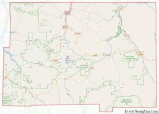
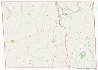
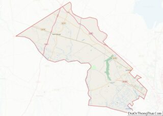
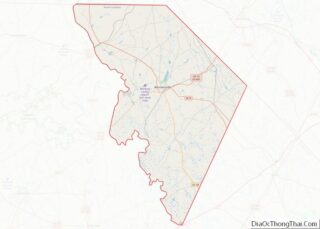
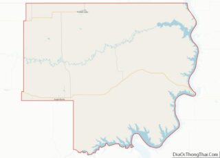
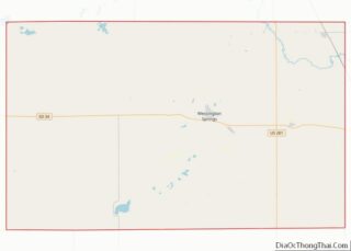
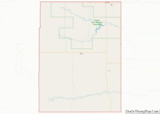
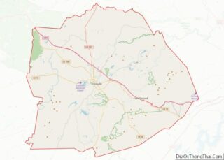
Map of Virginia Beach City, Virginia
Virginia Beach is an independent city located on the southeastern coast of the Commonwealth of Virginia in the United States. The population was 459,470 at the 2020 census. Although mostly suburban in character, it is the most populous city in the Commonwealth of Virginia, fifth-most populous city in the Mid-Atlantic, ninth-most populous city in the ... Read more
Map of Virginia Beach City, Virginia
Map of Columbia County, Washington
Columbia County is a county located in the U.S. state of Washington. As of the 2020 census, the population was 3,952, making it the second-least populous county in Washington. The county seat and largest city is Dayton. The county was created out of Walla Walla County on November 11, 1875, and is named after the ... Read more
Map of Columbia County, Washington
Map of Mason County, Washington
Mason County is a county located in the U.S. state of Washington. As of the 2020 census, the population was 65,726. The county seat and only incorporated city is Shelton. The county was formed out of Thurston County on March 13, 1854. Originally named Sawamish County, it took its present name in 1864 in honor ... Read more
Map of Mason County, Washington
Map of Yakima County, Washington
Yakima County is a county in the U.S. state of Washington. As of the 2020 census, its population was 256,728. The county seat and largest city is Yakima. The county was formed out of Ferguson County in January 1865 and is named for the Yakama tribe of Native Americans. Yakima County comprises the Yakima, WA ... Read more
Map of Yakima County, Washington
Map of Hardy County, West Virginia
Hardy County is a county in the U.S. state of West Virginia. As of the 2020 census, the population was 14,299. Its county seat is Moorefield. The county was created from Hampshire County in 1786 and named for Samuel Hardy, a distinguished Virginian. Hardy County overview: Name: Hardy County FIPS code: 54-031 State: West Virginia ... Read more
Map of Hardy County, West Virginia
Map of Monroe County, West Virginia
Monroe County is a county in the U.S. state of West Virginia. As of the 2020 census, the population was 12,376. Its county seat is Union. Monroe County was the home of Andrew Summers Rowan of Spanish–American War fame, who is immortalized in Elbert Hubbard’s classic A Message to Garcia. The county was also the ... Read more
Map of Monroe County, West Virginia
Map of Tyler County, West Virginia
Tyler County is a county in the U.S. state of West Virginia. As of the 2020 census, the population was 8,313. Its county seat is Middlebourne. The county was founded in 1814 and is named after John Tyler, Sr., father of President John Tyler. Tyler County overview: Name: Tyler County FIPS code: 54-095 State: West ... Read more
Map of Tyler County, West Virginia
Map of Chippewa County, Wisconsin
Chippewa County is a county located in the U.S. state of Wisconsin. It is named for the historic Chippewa people, also known as the Ojibwe, who long controlled this territory. As of the 2020 census, the population was 66,297. Its county seat is Chippewa Falls. The county was founded in 1845 from Crawford County, then ... Read more
Map of Chippewa County, Wisconsin
Map of Iowa County, Wisconsin
Iowa County is a county in the U.S. state of Wisconsin. As of the 2020 census, the population was 23,709. Its county seat and largest city is Dodgeville. When created, it was part of the Michigan Territory. Iowa County is part of the Madison, Wisconsin, Metropolitan Statistical Area. Iowa County overview: Name: Iowa County FIPS ... Read more
Map of Iowa County, Wisconsin
Map of Marquette County, Wisconsin
Marquette County is a county located in the U.S. state of Wisconsin. As of the 2020 census, the population was 15,592. Its county seat is Montello. The county was created in 1836 from the Wisconsin Territory and organized in 1848. Marquette County overview: Name: Marquette County FIPS code: 55-077 State: Wisconsin Founded: 1848 Seat: Montello ... Read more
Map of Marquette County, Wisconsin
Map of Rusk County, Wisconsin
Rusk County is a county in the U.S. state of Wisconsin. As of the 2020 census, the population was 14,188. Its county seat is Ladysmith. Rusk County overview: Name: Rusk County FIPS code: 55-107 State: Wisconsin Founded: 1901 Named for: Jeremiah McLain Rusk Seat: Ladysmith Largest city: Ladysmith Total Area: 931 sq mi (2,410 km²) Land Area: 914 sq mi ... Read more
Map of Rusk County, Wisconsin
Map of Winnebago County, Wisconsin
Winnebago County is a county in the U.S. state of Wisconsin. As of the 2020 census, the population was 171,730. Its county seat is Oshkosh. It was named for the historic Winnebago people, a federally recognized Native American tribe now known as the Ho-Chunk Nation. Chief Oshkosh was a Menominee leader in the area. Winnebago ... Read more
Map of Winnebago County, Wisconsin