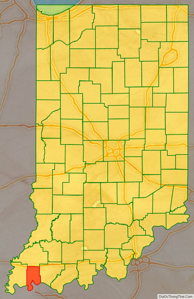
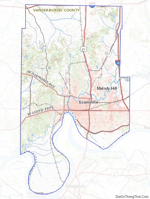
Vanderburgh County is a county in the U.S. state of Indiana. As of 2010, the population was 179,703. The county seat is in Evansville. While Vanderburgh County was the seventh-largest county in 2010 population with 179,703 people, it is also the eighth-smallest county in area in Indiana and the smallest in southwestern Indiana, covering only 236 square miles (610 km). In 2019, the population was 181,451.
Vanderburgh County forms the core of the Evansville metropolitan statistical area.
| Name: | Vanderburgh County |
|---|---|
| FIPS code: | 18-163 |
| State: | Indiana |
| Founded: | January 7, 1818 |
| Named for: | Henry Vanderburgh |
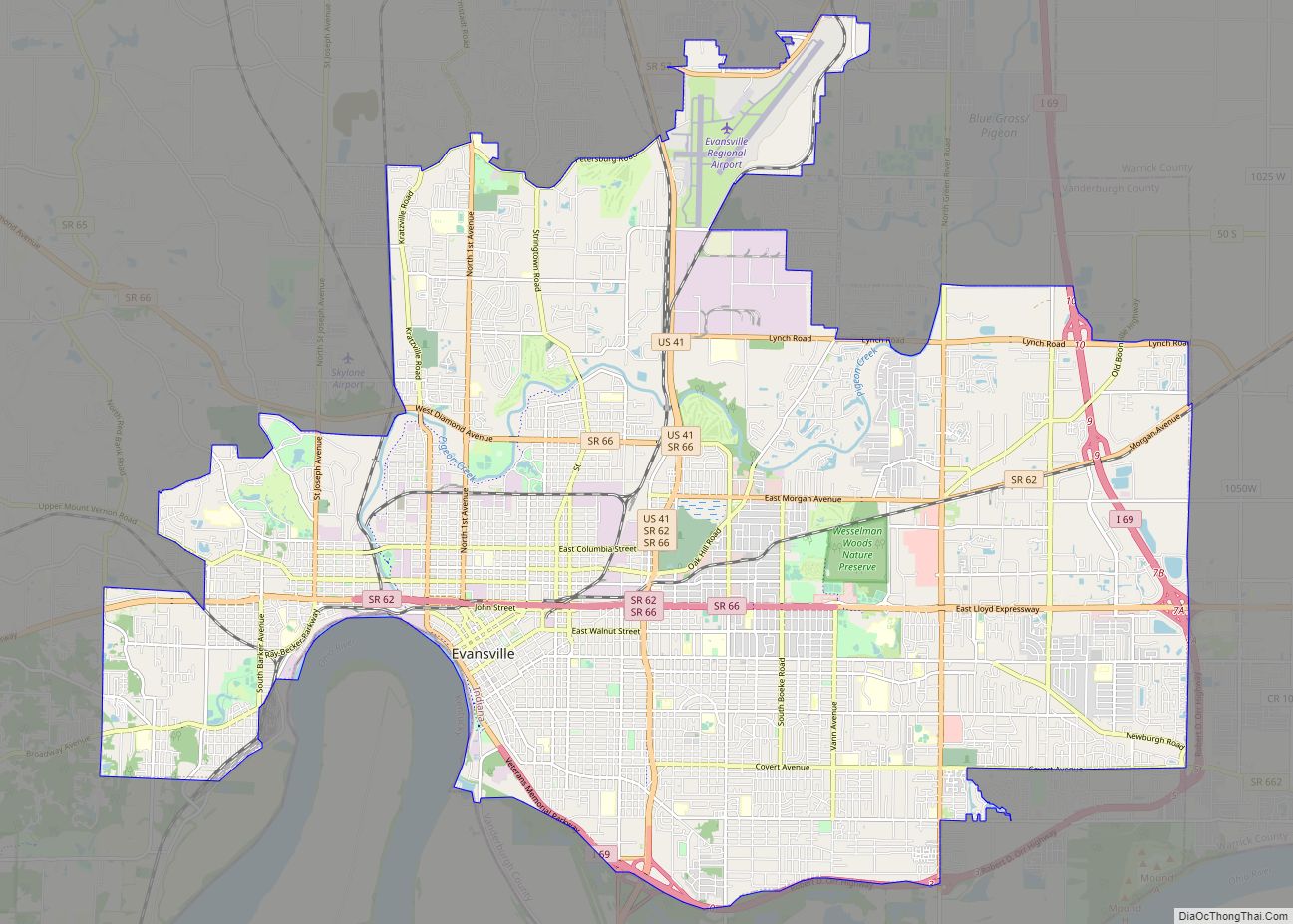
| Seat: | Evansville |
| Largest city: | Evansville |
| Total Area: | 236.33 sq mi (612.1 km²) |
| Land Area: | 233.48 sq mi (604.7 km²) |
| Total Population: | 180,136 |
| Population Density: | 766.1/sq mi (295.81/km²) |
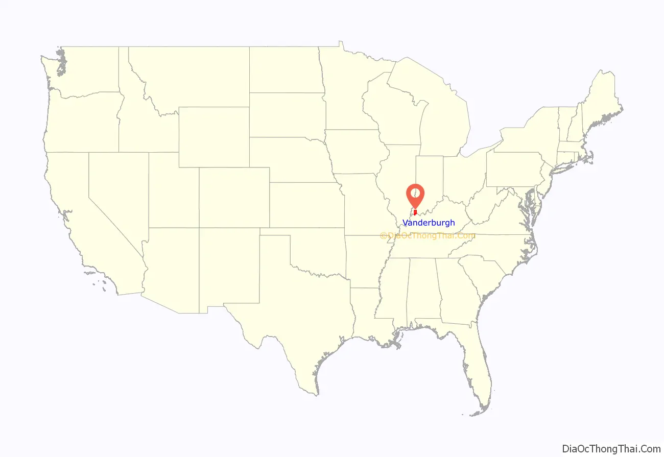
Vanderburgh County location map. Where is Vanderburgh County?
History
Vanderburgh County was formed on January 7, 1818, from Gibson, Posey, and Warrick counties. It was named for Captain Henry Vanderburgh, Revolutionary War veteran and judge for the Indiana Territory.
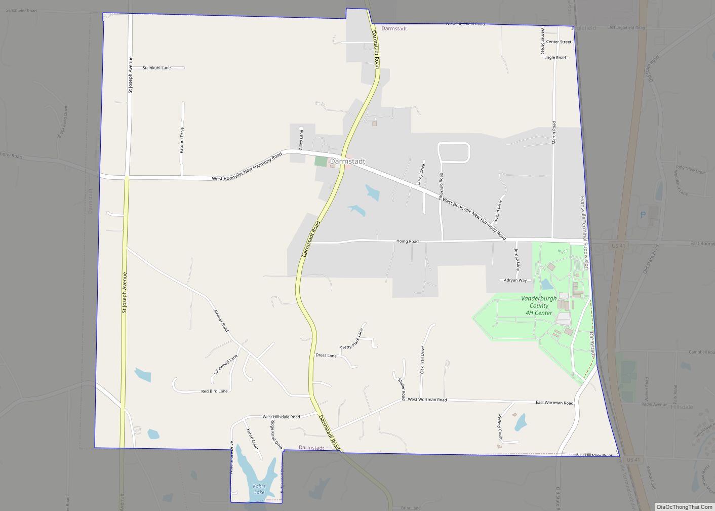
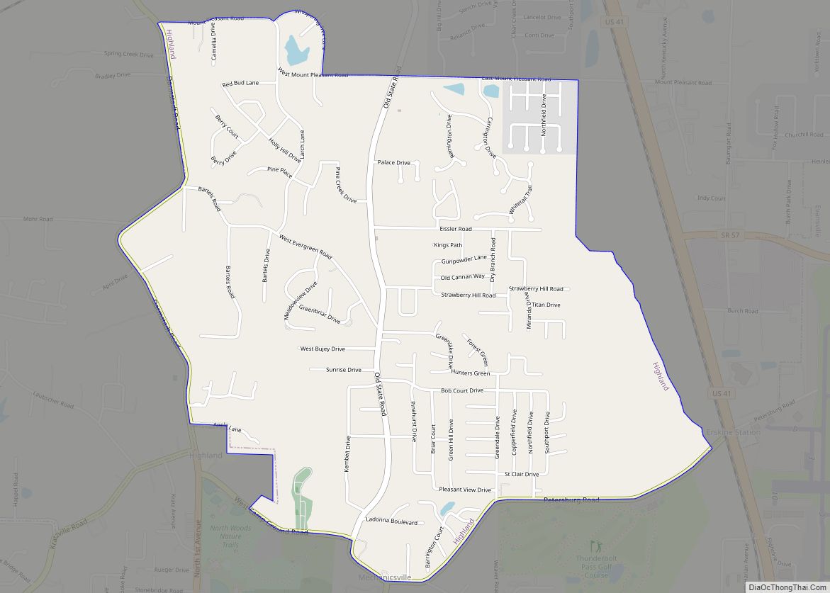
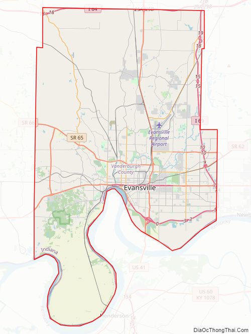
Vanderburgh County Road Map
Geography
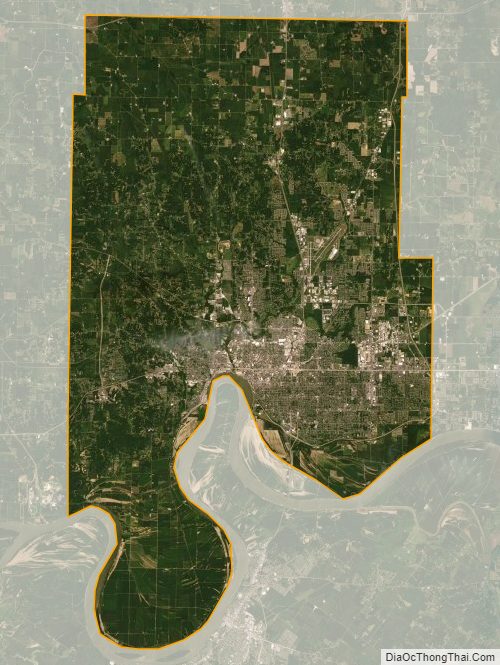
According to the 2010 census, the county has an area of 236.33 square miles (612.1 km), of which 233.48 square miles (604.7 km) (or 98.79%) is land and 2.86 square miles (7.4 km) (or 1.21%) is water.
Regional
- Illinois–Indiana–Kentucky tri-state area
- Southwestern Indiana
Adjacent counties
Cities and towns
Census-designated places
Unincorporated towns
Townships
(2000 Population)
Major highways
Vanderburgh County Topographic Map
Vanderburgh County Satellite Map
Vanderburgh County Outline Map