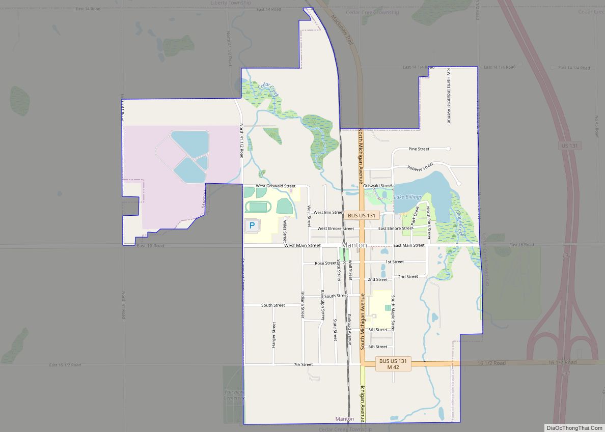
Manton is a city in Wexford County in the U.S. state of Michigan. The population was 1,258 at the 2020 census.
| Name: | Manton city |
|---|---|
| LSAD Code: | 25 |
| LSAD Description: | city (suffix) |
| State: | Michigan |
| County: | Wexford County |
| Incorporated: | 1877 (village) 1923 (city) |
| Elevation: | 1,132 ft (345 m) |
| Total Area: | 1.61 sq mi (4.18 km²) |
| Land Area: | 1.56 sq mi (4.04 km²) |
| Water Area: | 0.05 sq mi (0.14 km²) |
| Total Population: | 1,258 |
| Population Density: | 805.89/sq mi (311.14/km²) |
| Area code: | 231 |
| FIPS code: | 2650880 |
| GNISfeature ID: | 1620691 |
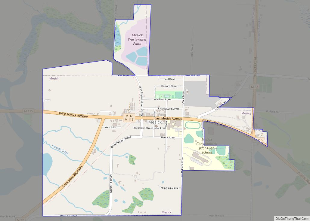
Online Interactive Map
Click on ![]() to view map in "full screen" mode.
to view map in "full screen" mode.
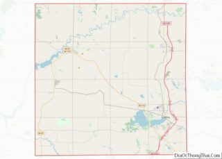
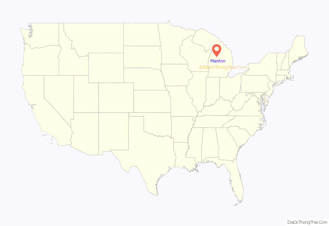
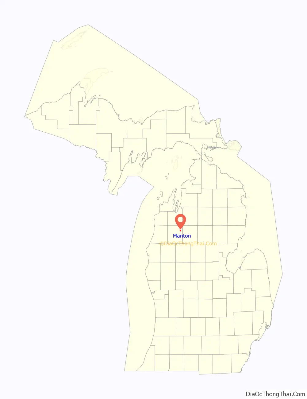
Manton location map. Where is Manton city?
History
The townsite was purchased and cleared in 1872 along the proposed route of the Grand Rapids and Indiana Railroad, by two local settlers, Ezra Harger and George Manton, and a third partner, William Mears. The place was known locally as Cedar Creek, but the railroad named the new station “Manton” after its first postmaster, George Manton.
Manton was at one time the county seat for Wexford County. However, the county seat was forcibly moved to Cadillac in the Battle of Manton.
Amish community
In 1993 an Old Order Amish community was started near Manton, most of the members coming from the Evart-LeRoy area or from Vestaburg in Michigan. The community is more open to “seekers” – people who want to join the Amish – than other Old Order Amish communities. They are affiliated with the Amish community in Smyrna, Maine, which was founded as one of the “Christian Communities” under the leadership of Elmo Stoll, but joined the Amish, when the “Christian Communities” disbanded.
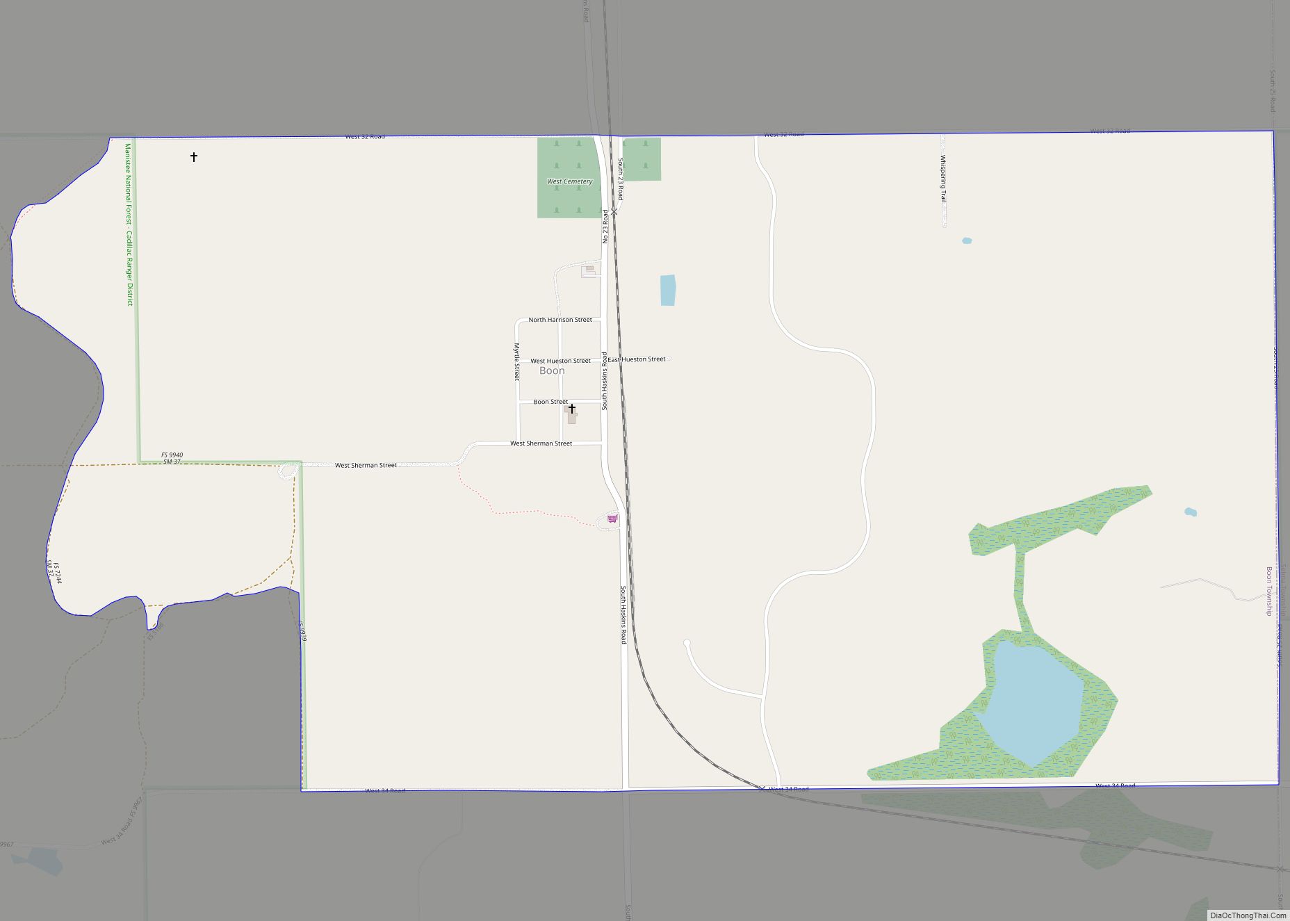
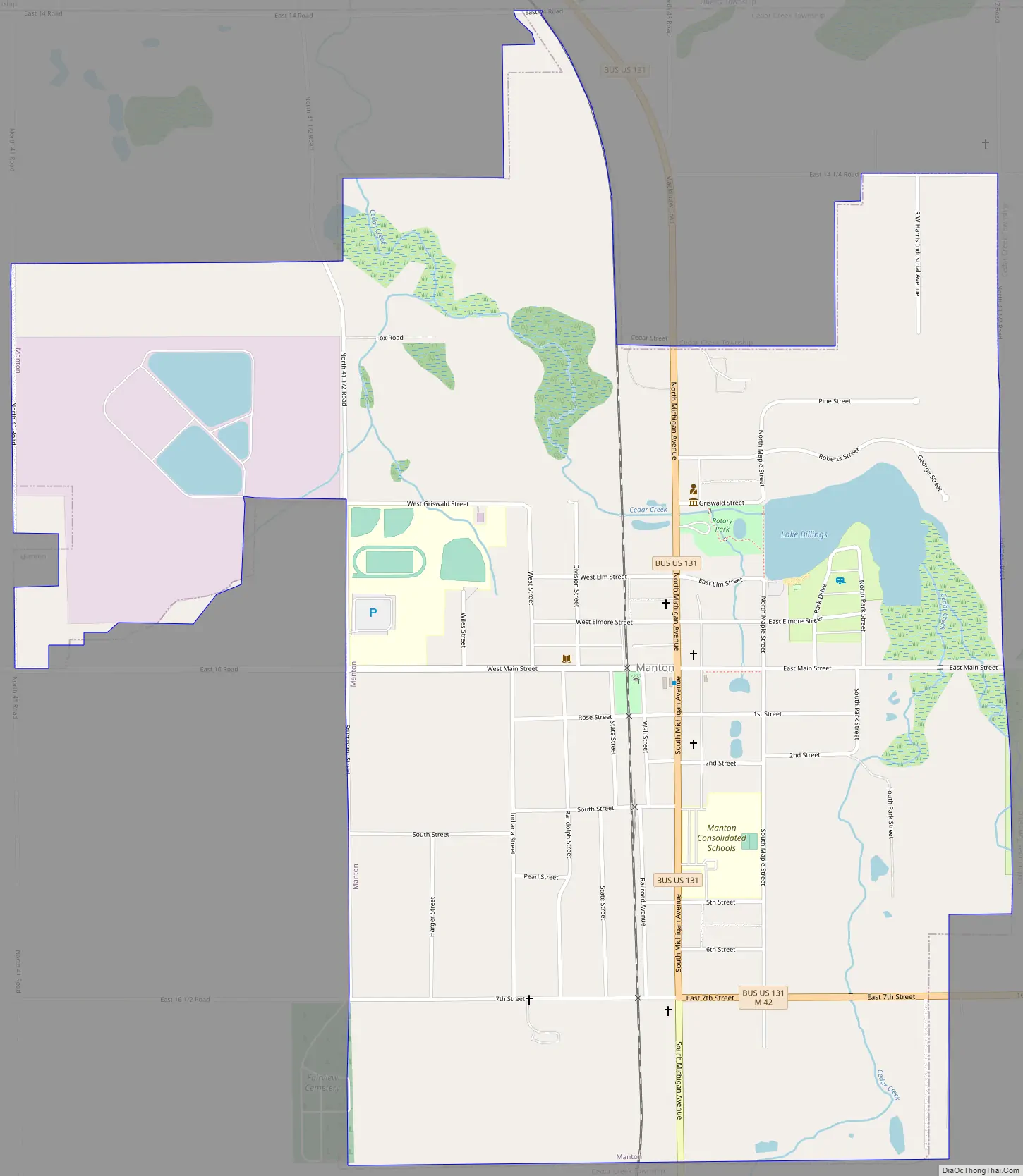
Manton Road Map
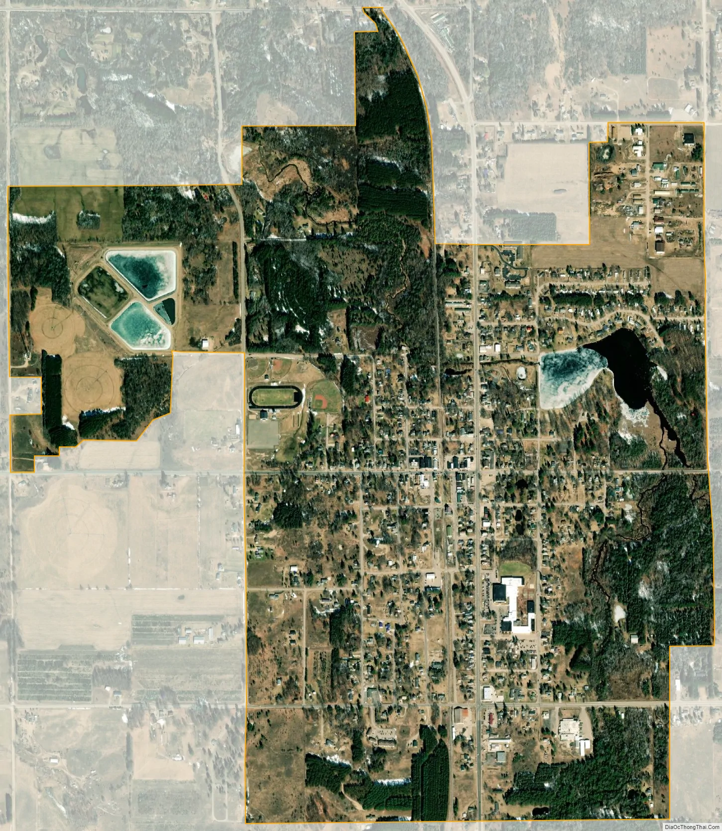
Manton city Satellite Map
Geography
According to the U.S. Census Bureau, the city has a total area of 1.61 square miles (4.17 km), of which 1.56 square miles (4.04 km) is land and 0.05 square miles (0.13 km) (3.11%) is water.
Major highways
- Bus. US 131 is a business loop of U.S. Route 131 that runs through Manton. US 131 runs just to the east of the city limits.
- M-42 runs concurrent with Bus. US 131 through portions of Manton.
See also
Map of Michigan State and its subdivision:- Alcona
- Alger
- Allegan
- Alpena
- Antrim
- Arenac
- Baraga
- Barry
- Bay
- Benzie
- Berrien
- Branch
- Calhoun
- Cass
- Charlevoix
- Cheboygan
- Chippewa
- Clare
- Clinton
- Crawford
- Delta
- Dickinson
- Eaton
- Emmet
- Genesee
- Gladwin
- Gogebic
- Grand Traverse
- Gratiot
- Hillsdale
- Houghton
- Huron
- Ingham
- Ionia
- Iosco
- Iron
- Isabella
- Jackson
- Kalamazoo
- Kalkaska
- Kent
- Keweenaw
- Lake
- Lake Hurron
- Lake Michigan
- Lake St. Clair
- Lake Superior
- Lapeer
- Leelanau
- Lenawee
- Livingston
- Luce
- Mackinac
- Macomb
- Manistee
- Marquette
- Mason
- Mecosta
- Menominee
- Midland
- Missaukee
- Monroe
- Montcalm
- Montmorency
- Muskegon
- Newaygo
- Oakland
- Oceana
- Ogemaw
- Ontonagon
- Osceola
- Oscoda
- Otsego
- Ottawa
- Presque Isle
- Roscommon
- Saginaw
- Saint Clair
- Saint Joseph
- Sanilac
- Schoolcraft
- Shiawassee
- Tuscola
- Van Buren
- Washtenaw
- Wayne
- Wexford
- Alabama
- Alaska
- Arizona
- Arkansas
- California
- Colorado
- Connecticut
- Delaware
- District of Columbia
- Florida
- Georgia
- Hawaii
- Idaho
- Illinois
- Indiana
- Iowa
- Kansas
- Kentucky
- Louisiana
- Maine
- Maryland
- Massachusetts
- Michigan
- Minnesota
- Mississippi
- Missouri
- Montana
- Nebraska
- Nevada
- New Hampshire
- New Jersey
- New Mexico
- New York
- North Carolina
- North Dakota
- Ohio
- Oklahoma
- Oregon
- Pennsylvania
- Rhode Island
- South Carolina
- South Dakota
- Tennessee
- Texas
- Utah
- Vermont
- Virginia
- Washington
- West Virginia
- Wisconsin
- Wyoming