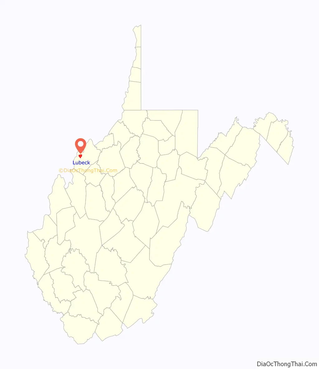
Lubeck is a census-designated place (CDP) in Wood County, West Virginia, United States. It is part of the Parkersburg–Marietta–Vienna, WV-OH Metropolitan Statistical Area. The population was 1,311 at the 2010 census. Though first named Watertown, postmaster Theodore Frederick Henry Slevogt in 1856 changed the name to Lubeck after his hometown in Germany.
| Name: | Lubeck CDP |
|---|---|
| LSAD Code: | 57 |
| LSAD Description: | CDP (suffix) |
| State: | West Virginia |
| County: | Wood County |
| Elevation: | 755 ft (230 m) |
| Total Area: | 4.3 sq mi (11.0 km²) |
| Land Area: | 4.3 sq mi (11.0 km²) |
| Water Area: | 0.0 sq mi (0.0 km²) |
| Total Population: | 1,311 |
| Population Density: | 300/sq mi (120/km²) |
| Area code: | 304 |
| FIPS code: | 5449156 |
| GNISfeature ID: | 1542600 |
Online Interactive Map
Click on ![]() to view map in "full screen" mode.
to view map in "full screen" mode.
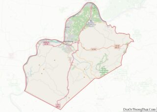
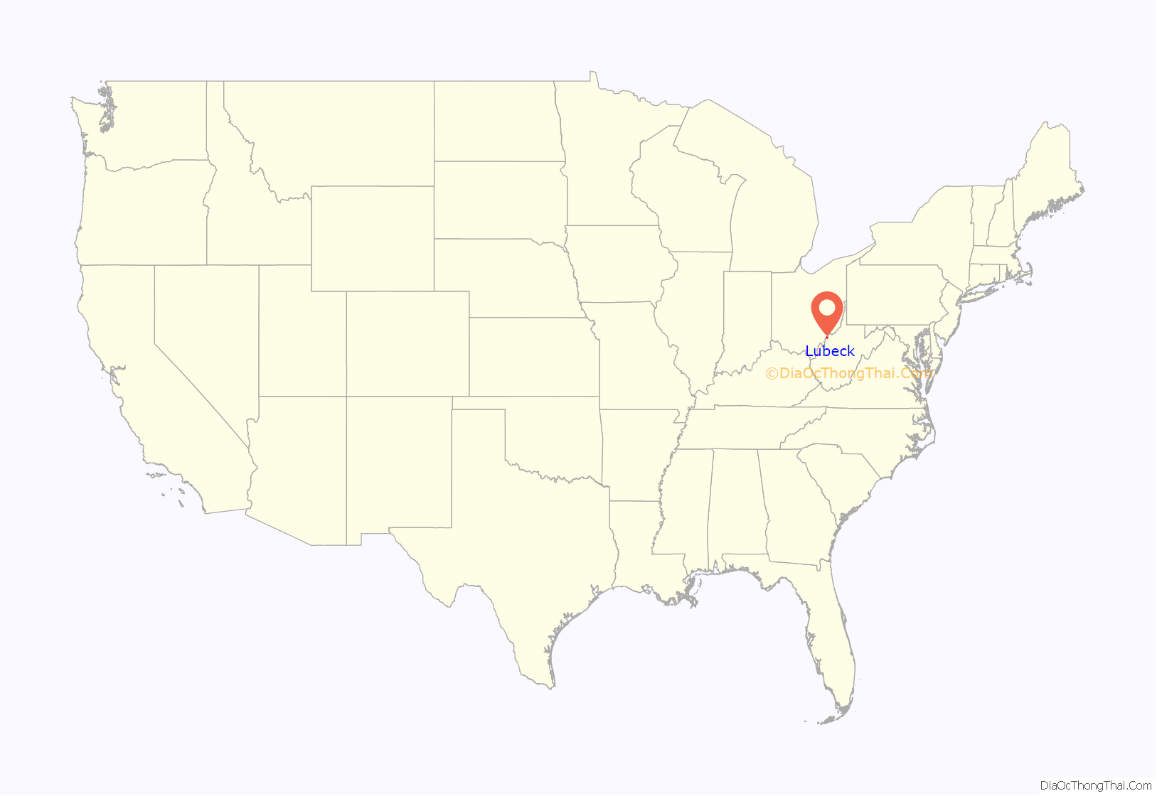
Lubeck location map. Where is Lubeck CDP?
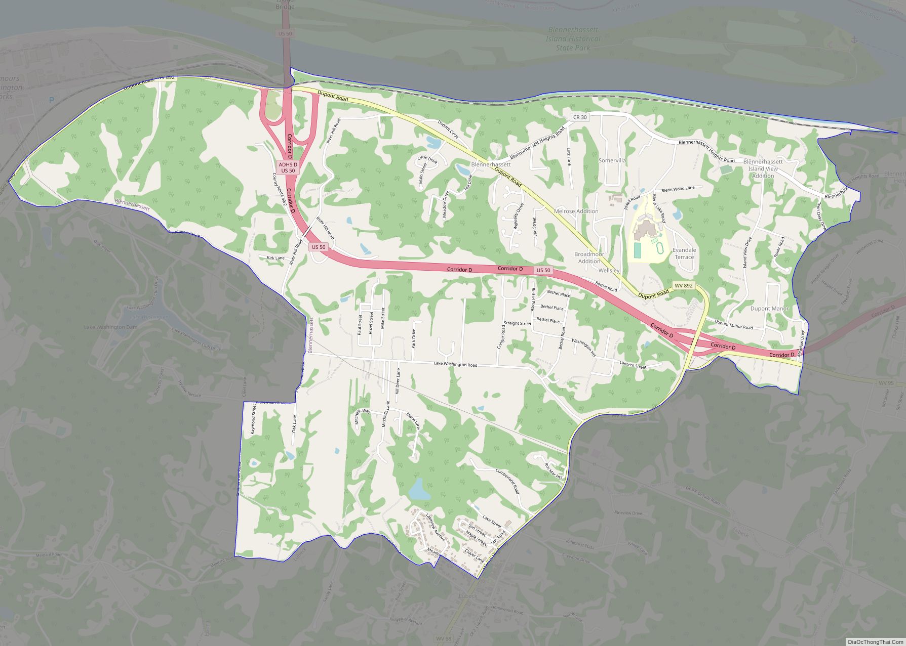
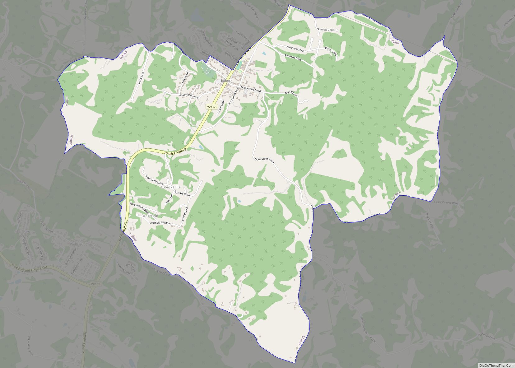
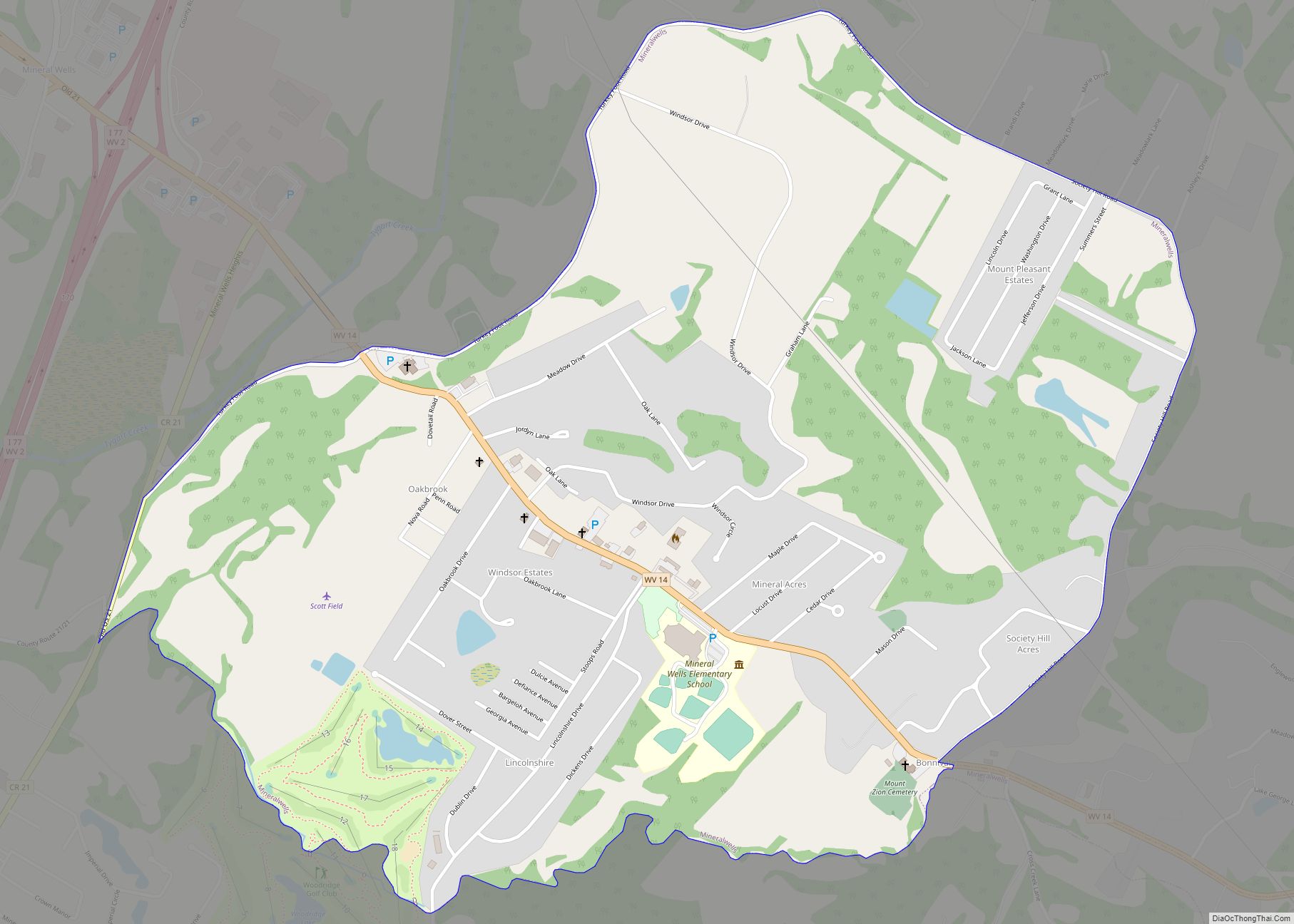
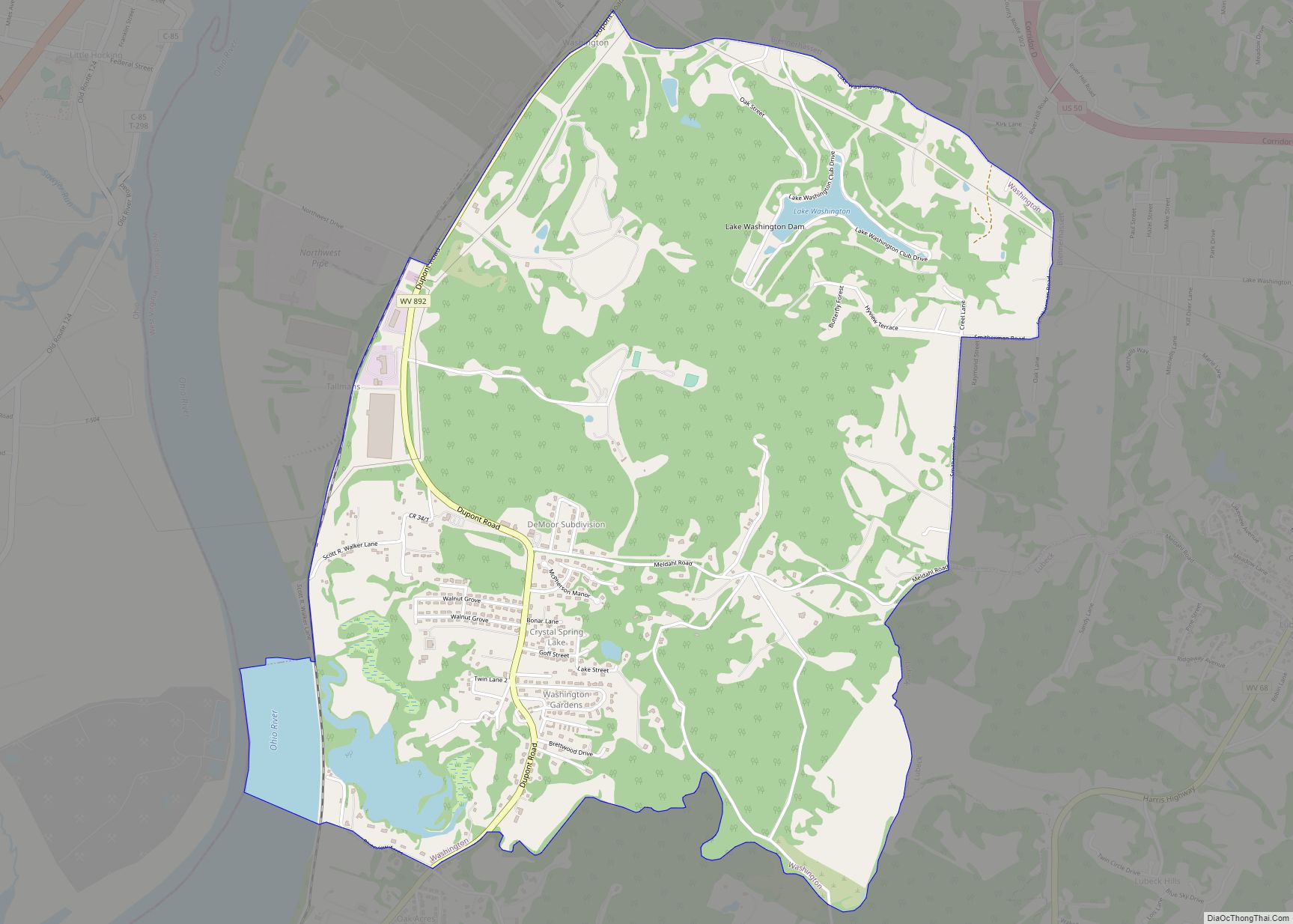
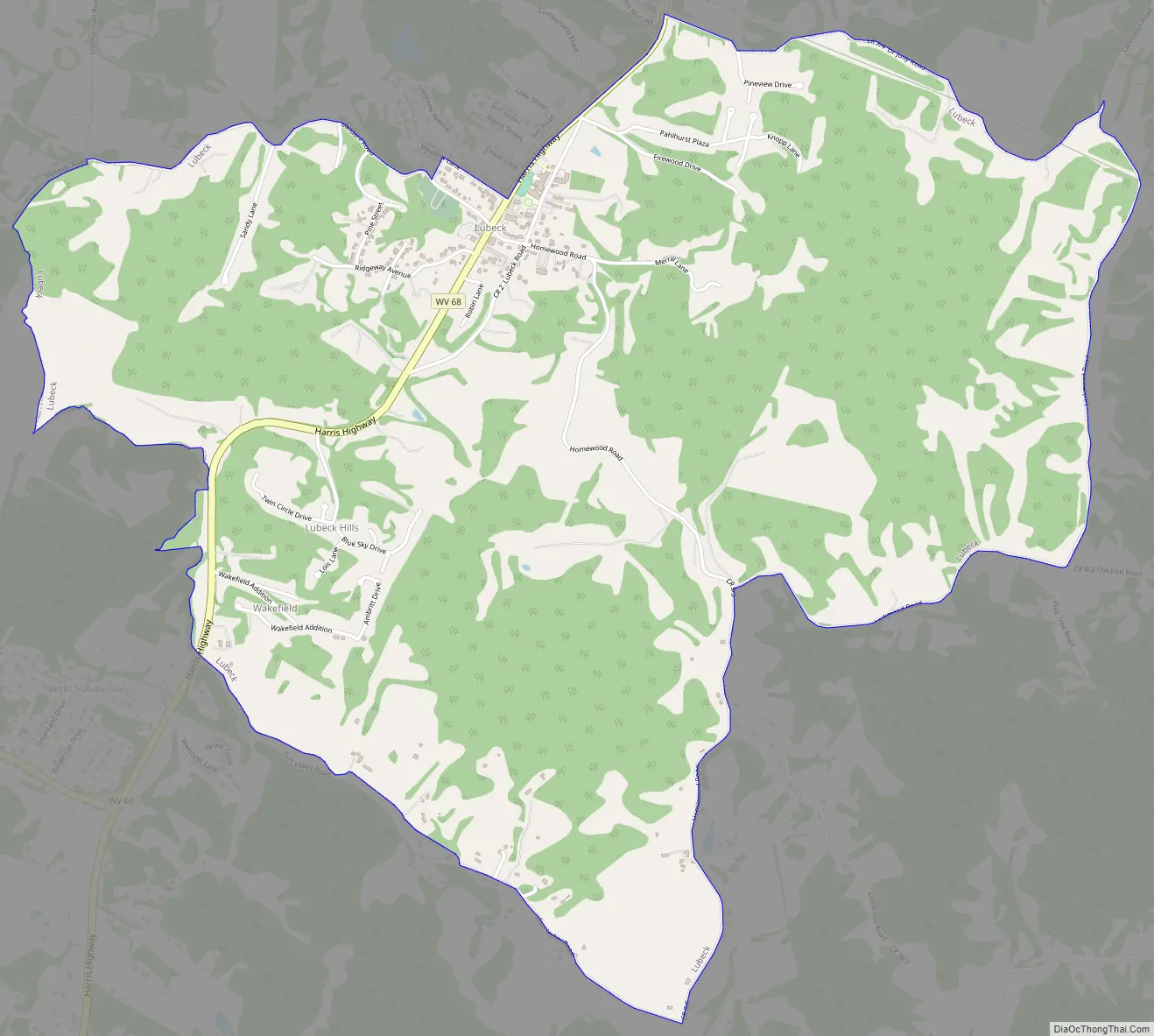
Lubeck Road Map
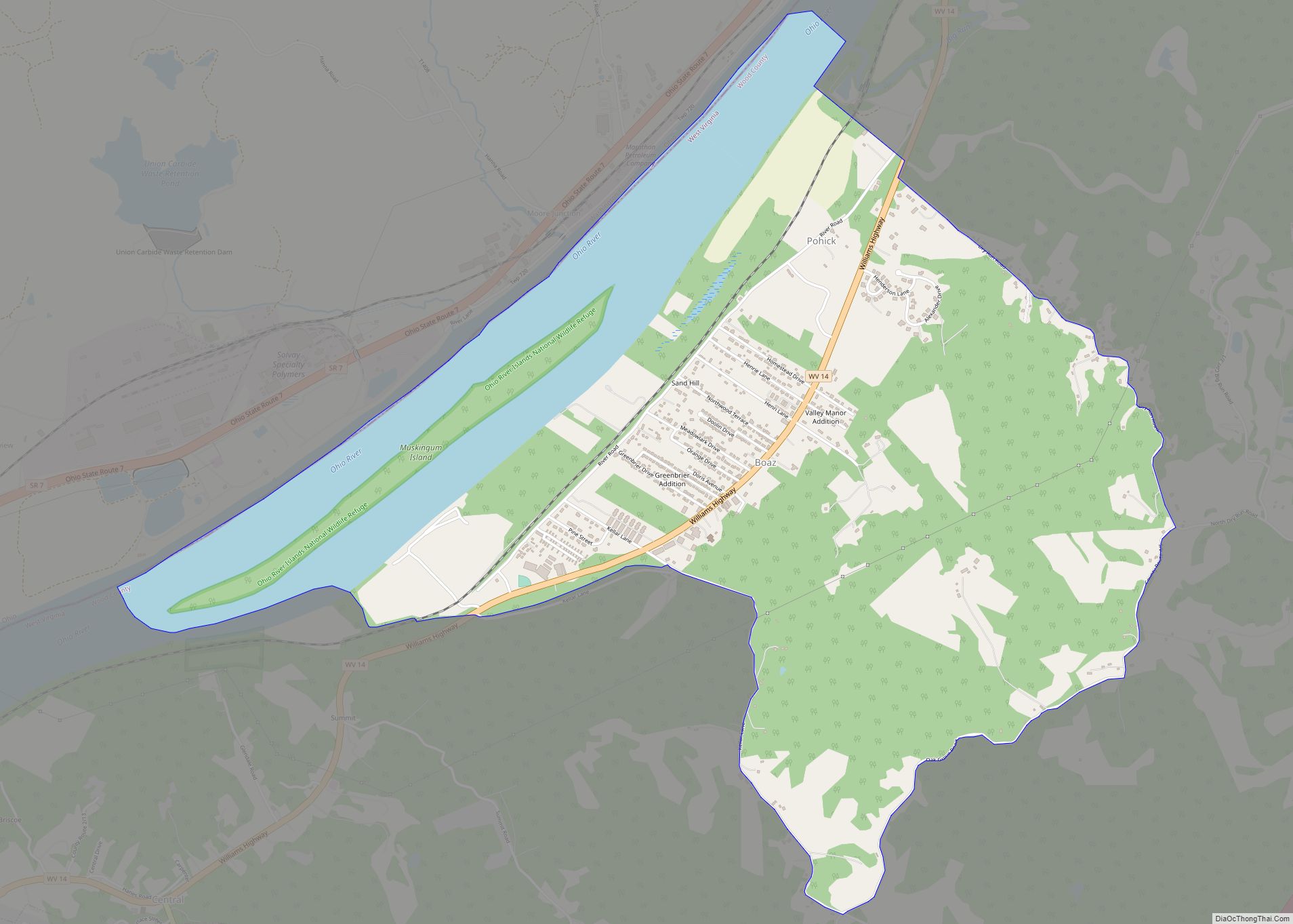
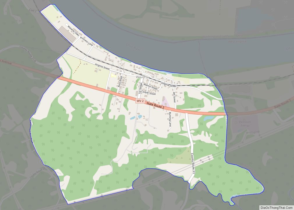
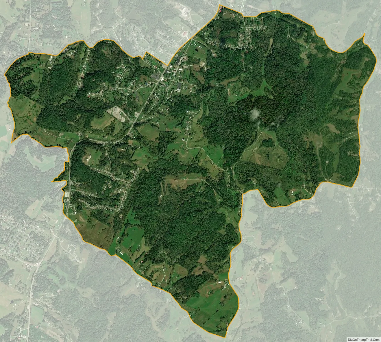
Lubeck city Satellite Map
Geography
Lubeck is located at 39°13′58″N 81°38′22″W / 39.23278°N 81.63944°W / 39.23278; -81.63944 (39.232846, -81.639491).
According to the United States Census Bureau, the CDP has a total area of 4.3 square miles (11.0 km), all land.
See also
Map of West Virginia State and its subdivision:- Barbour
- Berkeley
- Boone
- Braxton
- Brooke
- Cabell
- Calhoun
- Clay
- Doddridge
- Fayette
- Gilmer
- Grant
- Greenbrier
- Hampshire
- Hancock
- Hardy
- Harrison
- Jackson
- Jefferson
- Kanawha
- Lewis
- Lincoln
- Logan
- Marion
- Marshall
- Mason
- McDowell
- Mercer
- Mineral
- Mingo
- Monongalia
- Monroe
- Morgan
- Nicholas
- Ohio
- Pendleton
- Pleasants
- Pocahontas
- Preston
- Putnam
- Raleigh
- Randolph
- Ritchie
- Roane
- Summers
- Taylor
- Tucker
- Tyler
- Upshur
- Wayne
- Webster
- Wetzel
- Wirt
- Wood
- Wyoming
- Alabama
- Alaska
- Arizona
- Arkansas
- California
- Colorado
- Connecticut
- Delaware
- District of Columbia
- Florida
- Georgia
- Hawaii
- Idaho
- Illinois
- Indiana
- Iowa
- Kansas
- Kentucky
- Louisiana
- Maine
- Maryland
- Massachusetts
- Michigan
- Minnesota
- Mississippi
- Missouri
- Montana
- Nebraska
- Nevada
- New Hampshire
- New Jersey
- New Mexico
- New York
- North Carolina
- North Dakota
- Ohio
- Oklahoma
- Oregon
- Pennsylvania
- Rhode Island
- South Carolina
- South Dakota
- Tennessee
- Texas
- Utah
- Vermont
- Virginia
- Washington
- West Virginia
- Wisconsin
- Wyoming