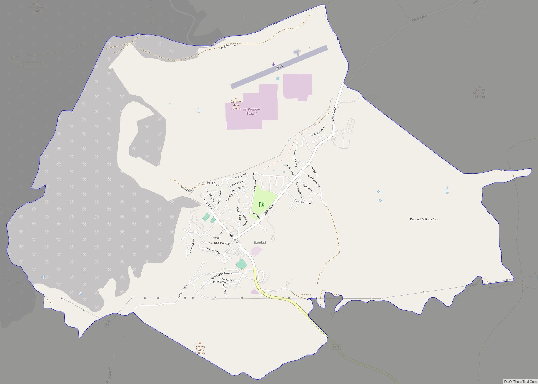
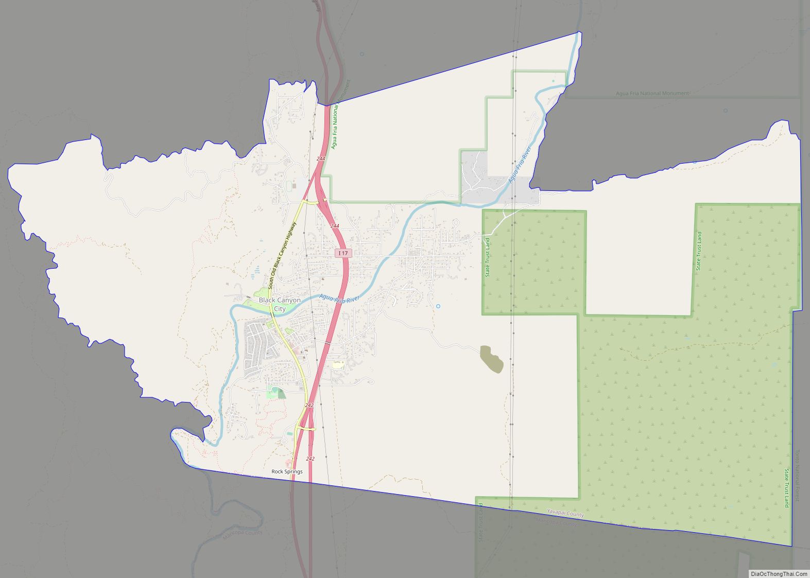
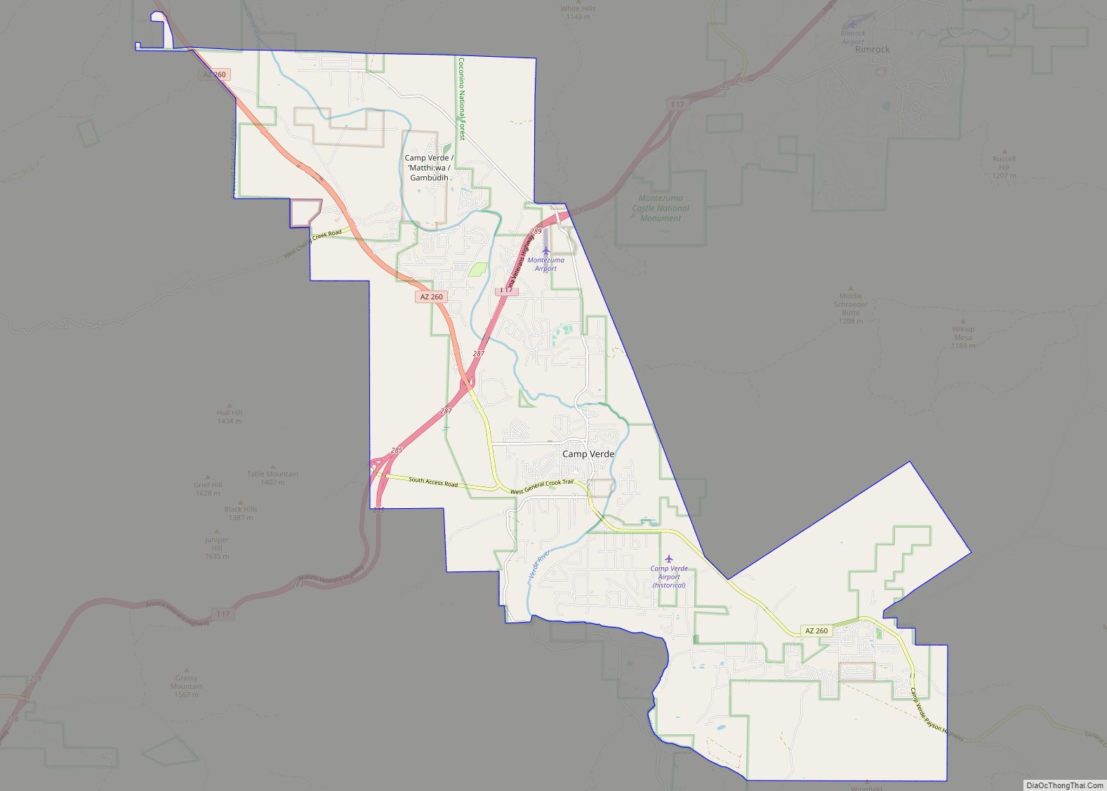
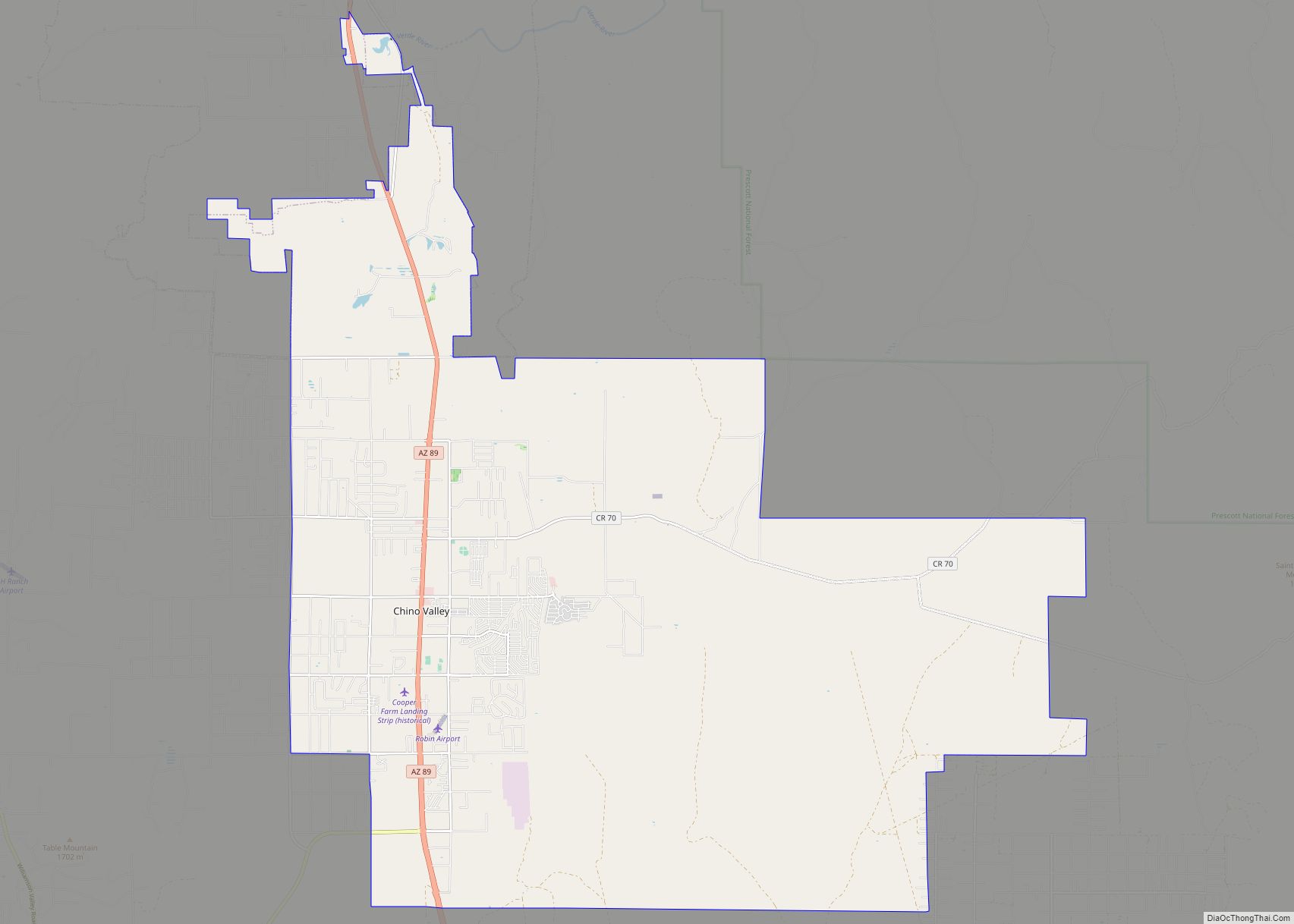
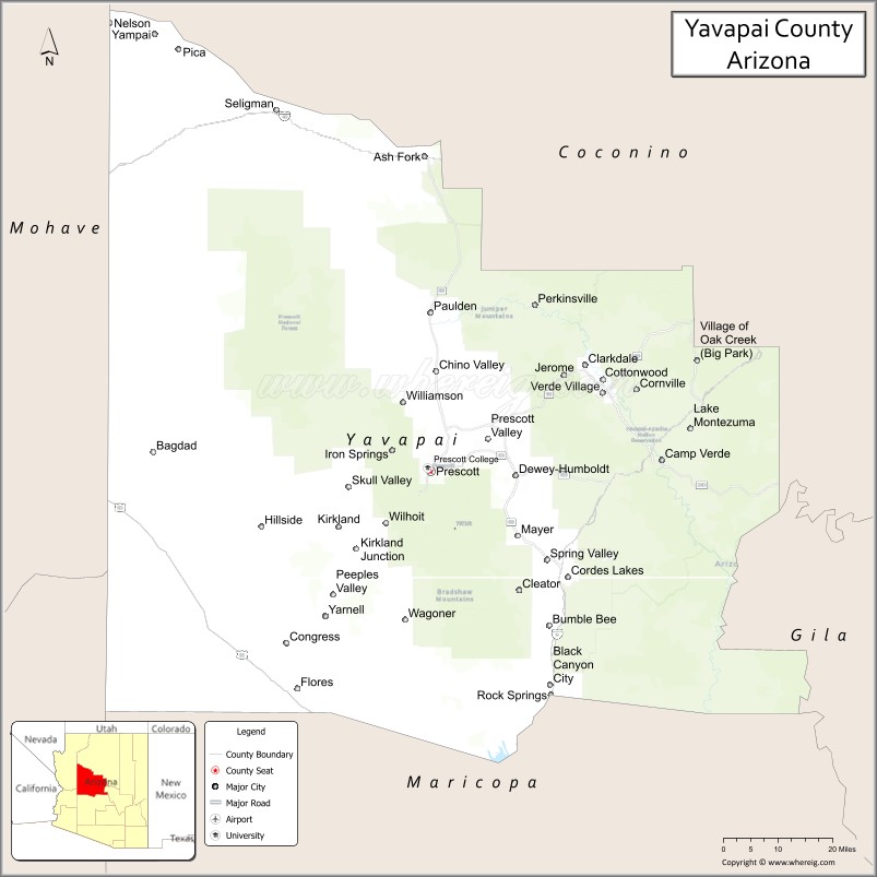
Yavapai County is near the center of the U.S. state of Arizona. As of the 2020 census, its population was 236,209, making it the fourth-most populous county in Arizona. The county seat is Prescott.
Yavapai County comprises the Prescott, AZ Metropolitan Statistical Area as well as the northern portions of Peoria and Wickenburg, the balance of which are in the Phoenix Metropolitan Area.
| Name: | Yavapai County |
|---|---|
| FIPS code: | 04-025 |
| State: | Arizona |
| Founded: | November 9, 1864 |
| Named for: | Yavapai people |
| Seat: | Prescott |
| Largest city: | Prescott Valley (entirely within Yavapai County) |
| Total Area: | 8,128 sq mi (21,050 km²) |
| Land Area: | 8,123 sq mi (21,040 km²) |
| Total Population: | 236,209 |
| Population Density: | 29/sq mi (11/km²) |
| Time zone: | UTC−7 (Mountain) |
| Website: | yavapaiaz.gov |
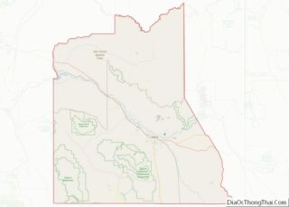
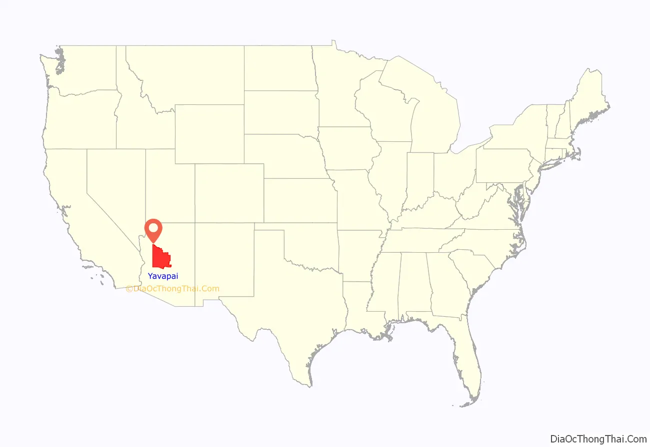
Yavapai County location map. Where is Yavapai County?
History
Yavapai County was one of the four original Arizona counties created by the 1st Arizona Territorial Legislature. The county territory was defined as being east of longitude 113° 20′ and north of the Gila River. Soon thereafter, the counties of Apache, Coconino, Maricopa, and Navajo were carved from the original Yavapai County. Yavapai County’s present boundaries were established in 1891.
The county is named after the Yavapai people, who were the principal inhabitants at the time the United States annexed the area.
County level law enforcement services have been provided by Yavapai County Sheriff’s Office since 1864.
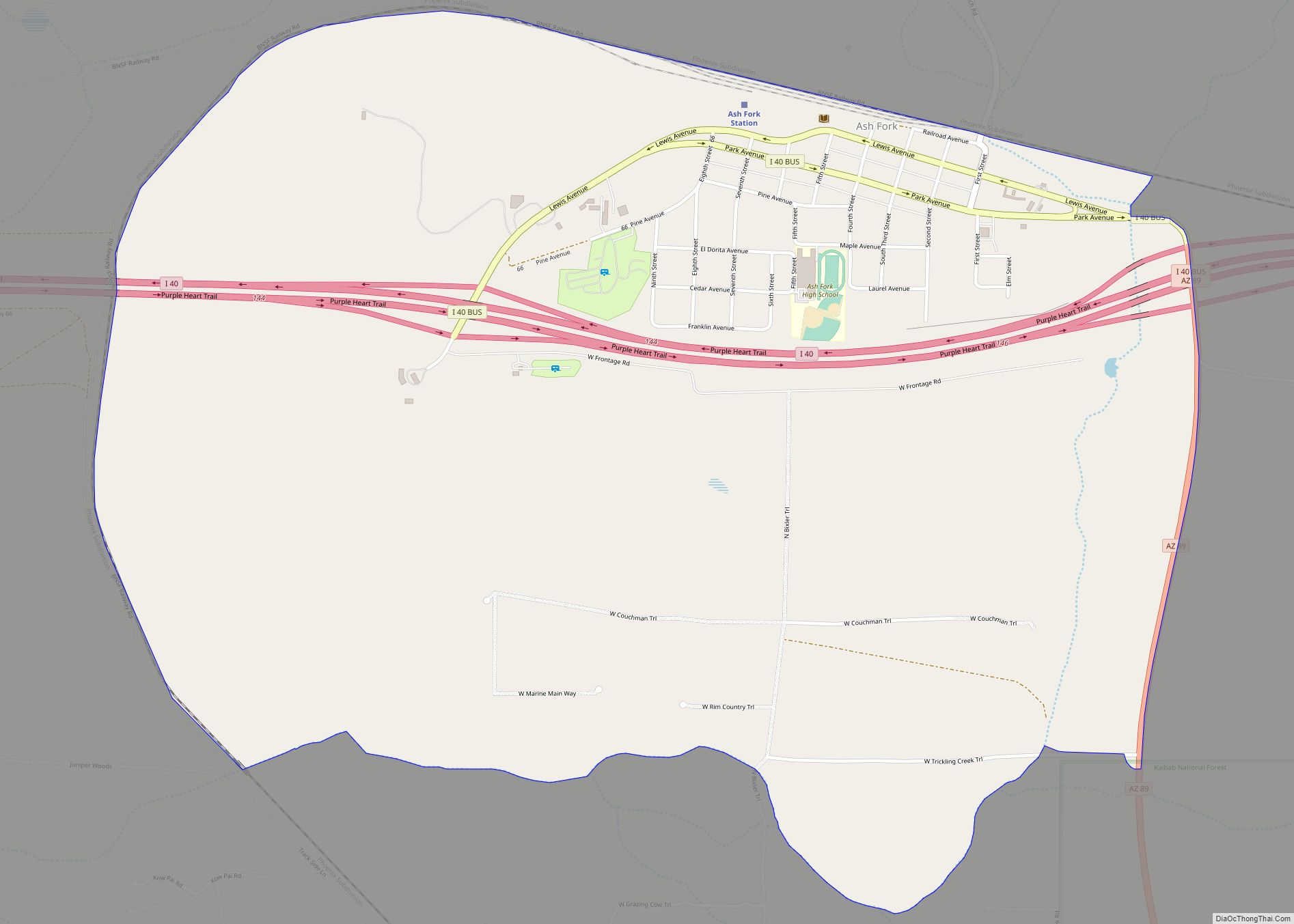
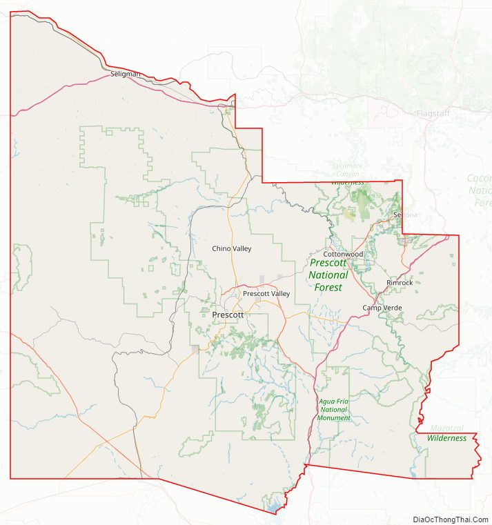
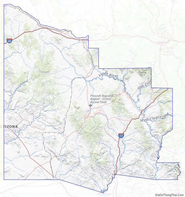
Yavapai County Road Map
Geography
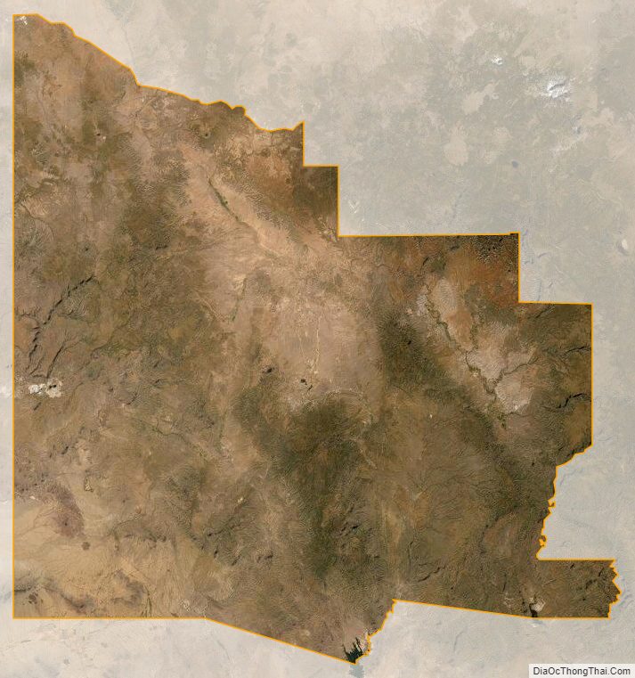
According to the United States Census Bureau, the county has a total area of 8,128 square miles (21,050 km), of which 8,123 square miles (21,040 km) is land and 4.4 square miles (11 km) (0.05%) is water. It has about 93% of the area of the U.S. state of New Jersey. It is larger than three U.S. states (Rhode Island, Delaware and Connecticut) and the District of Columbia combined.
The county’s topography makes a dramatic transition from the lower Sonoran Desert to the south to the heights of the Coconino Plateau to the north, and the Mogollon Rim to the east. The highest point above sea level (MSL) in Yavapai County is Mount Union at an elevation of 7,979 ft (2,432 m) and the lowest is Agua Fria River drainage, now under Lake Pleasant.
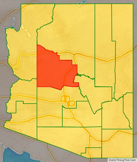
Adjacent counties
- Mohave County – west
- La Paz County – southwest
- Maricopa County – south
- Gila County – south/southeast
- Coconino County – north/northeast
Major highways
- Interstate 17
- Interstate 40
- U.S. Route 93
- State Route 69
- State Route 71
- State Route 89
- State Route 169
- State Route 179
- State Route 260
- State Route 279
National protected areas
- Agua Fria National Monument
- Coconino National Forest (part)
- Kaibab National Forest (part)
- Montezuma Castle National Monument
- Prescott National Forest (part)
- Tonto National Forest (part)
- Tuzigoot National Monument
There are nineteen official wilderness areas in Yavapai County that are part of the National Wilderness Preservation System. Fourteen of these are integral parts of National Forests listed above, whereas five are managed by the Bureau of Land Management. Some of these extend into neighboring counties (as indicated below):
- Apache Creek Wilderness (Prescott NF)
- Arrastra Mountain Wilderness (BLM) mostly in Mohave County; also partly in La Paz County
- Castle Creek Wilderness (Prescott NF)
- Cedar Bench Wilderness (Prescott NF)
- Fossil Springs Wilderness (Coconino NF) mostly in Coconino County
- Granite Mountain Wilderness (Arizona) (Prescott NF)
- Hassayampa River Canyon Wilderness (BLM)
- Hells Canyon Wilderness (Arizona) (BLM) partly in Maricopa County
- Juniper Mesa Wilderness (Prescott NF)
- Mazatzal Wilderness (Tonto NF / Coconino NF) partly in Gila County; Maricopa County
- Munds Mountain Wilderness (Coconino NF) mostly in Coconino County
- Pine Mountain Wilderness (Tonto NF/Prescott NF)
- Red Rock-Secret Mountain Wilderness (Coconino NF) partly in Coconino County
- Sycamore Canyon Wilderness (Prescott NF/Coconino NF / Kaibab NF) mostly in Coconino County
- Tres Alamos Wilderness (BLM)
- Upper Burro Creek Wilderness (BLM) partly in Mohave County
- West Clear Creek Wilderness (Coconino NF) partly in Coconino County
- Wet Beaver Wilderness (Coconino NF) partly in Coconino County
- Woodchute Wilderness (Prescott NF)
Land ownership and management
- Private ownership: about 25% of Yavapai County’s land (by area) is privately owned.
- Public land: about 75% of the county’s area is publicly owned, including
Flora and fauna
There are numerous flora and fauna species within Yavapai County. For example, a number of plants within the genus Ephedra and Coreopsis are found in the county. Yavapai County is also the location of several groves of the near-threatened California Fan Palm, Washingtonia filifera.
Yavapai County Topographic Map
Yavapai County Satellite Map
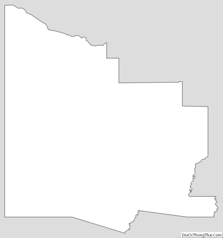
Yavapai County Outline Map