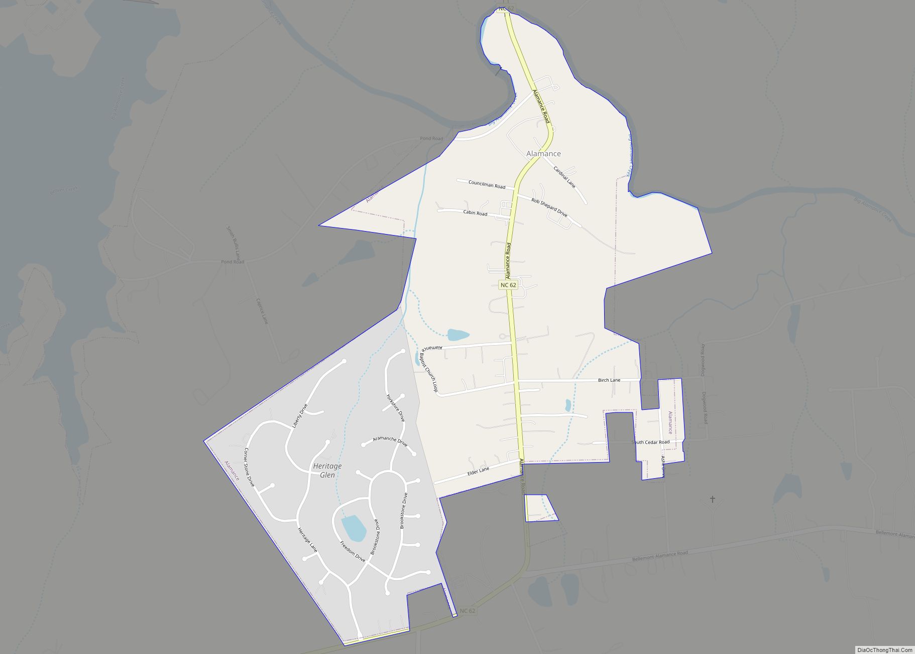
Alamance County (/ˈæləmæns/ (listen)) is a county in North Carolina. As of the 2020 census, the population was 171,415. Its county seat is Graham. Formed in 1849 from Orange County to the east, Alamance County has been the site of significant historical events, textile manufacturing, and agriculture.
Alamance County comprises the Burlington Metropolitan Statistical Area, which is also included in the Greensboro–Winston-Salem–High Point Combined Statistical Area. The 2018 estimated population of the metropolitan area was 166,436.
| Name: | Alamance County |
|---|---|
| FIPS code: | 37-001 |
| State: | North Carolina |
| Founded: | 1849 |
| Named for: | Native American word to describe the mud in Great Alamance Creek |
| Seat: | Graham |
| Largest city: | Burlington |
| Total Area: | 435 sq mi (1,130 km²) |
| Land Area: | 424 sq mi (1,100 km²) |
| Total Population: | 171,415 |
| Population Density: | 404.3/sq mi (156.1/km²) |
| Time zone: | UTC−5 (Eastern) |
| Summer Time Zone (DST): | UTC−4 (EDT) |
| Website: | www.alamance-nc.com |
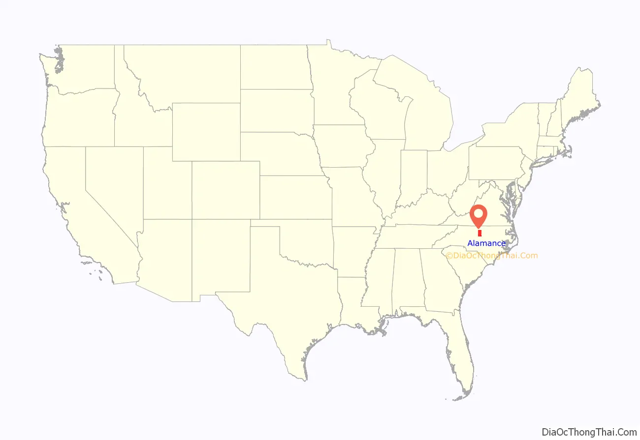
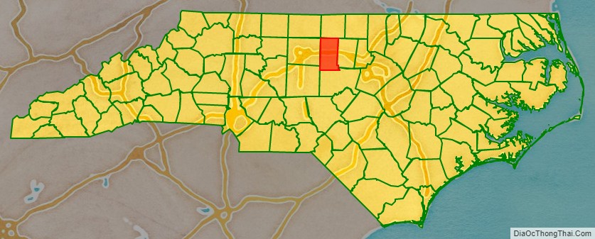
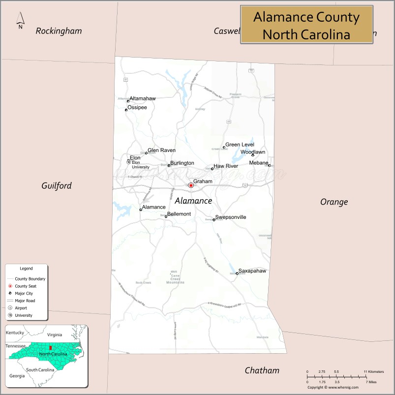
Alamance County location map. Where is Alamance County?
History
Before being formed as a county, the region had at least one known small Southeastern tribe of Native Americans in the 18th century, the Sissipahaw, who lived in the area bounded by modern Saxapahaw, the area known as the Hawfields, and the Haw River. European settlers entered the region in the late 17th century chiefly following Native American trading paths, and set up their farms in what they called the “Haw Old Fields,” fertile ground previously tilled by the Sissipahaw. The paths later became the basis of the railroad and interstate highway routes.
Alamance County was named after Great Alamance Creek, site of the Battle of Alamance (May 16, 1771), a pre-Revolutionary War battle in which militia under the command of Governor William Tryon crushed the Regulator movement. Great Alamance Creek, and in turn Little Alamance Creek, according to legend, were named after a local Native American word to describe the blue mud found at the bottom of the creeks. Other legends say the name came from another local Native American word meaning “noisy river,” or for the Alamanni region of Rhineland, Germany, where many of the early settlers came from.
During the American Revolution, several small battles and skirmishes occurred in the area that became Alamance County, several of them during the lead-up to the Battle of Guilford Court House, including Pyle’s Massacre, the Battle of Lindley’s Mill, and the Battle of Clapp’s Mill.
In the 1780s, the Occaneechi Native Americans returned to North Carolina from Virginia, this time settling in what is now Alamance County rather than their first location near Hillsborough. In 2002, the modern Occaneechi tribe bought 25 acres (100,000 m) of their ancestral land in Alamance County and began a Homeland Preservation Project that includes a village reconstructed as it would have been in 1701 and a 1930s farming village.
During the early 19th century, the textile industry grew heavily in the area, so the need for better transportation grew. By the 1840s, several mills were set up along the Haw River and near Great Alamance Creek and other major tributaries of the Haw. Between 1832 and 1880, at least 14 major mills were powered by these rivers and streams. Mills were built by the Trollinger, Holt, Newlin, Swepson, and Rosenthal families, among others. One of them, built in 1832 by Ben Trollinger, is still in operation. It is owned by Copland Industries, sits in the unincorporated community of Carolina and is the oldest continuously operating mill in North Carolina.
One notable textile produced in the area was the “Alamance plaids” or “Glencoe plaids” used in everything from clothing to tablecloths. The Alamance Plaids manufactured by textile pioneer Edwin M. Holt were the first colored cotton goods produced on power looms in the South, and paved the way for the region’s textile boom. (Holt’s home is now the Alamance County Historical Society.) But by the late 20th century, most of the plants and mills had gone out of business, including the mills operated by Burlington Industries, a company based in Burlington.
By the 1840s, the textile industry was booming, and the railroad was being built through the area as a convenient link between Raleigh and Greensboro. The county was formed on January 29, 1849 from Orange County.
Civil War
In March 1861, Alamance County residents voted overwhelmingly against North Carolina’s secession from the Union, 1,114 to 254. Two delegates were sent to the State Secession Convention, Thomas Ruffin and Giles Mebane, who both opposed secession, as did most of the delegates sent to the convention. At the time of the convention, around 30% of Alamance County’s population were slaves (total population around 12,000, including roughly 3,500 slaves and 500 free blacks).
North Carolina was reluctant to join other Southern states in secession until the Battle of Fort Sumter in April 1861. When Lincoln called up troops, Governor John Ellis replied, “I can be no party to this wicked violation of the laws of the country and to this war upon the liberties of a free people. You can get no troops from North Carolina.” After a special legislative session, North Carolina’s legislature unanimously voted for secession on May 20, 1861.
No battles took place in Alamance County, but it sent its share of soldiers to the front lines. In July 1861, for the first time in American history, soldiers were sent in to combat by rail. The 6th North Carolina was loaded onto railroad cars at Company Shops and transferred to the battlefront at Manassas, Virginia (First Battle of Manassas).
Although the citizens of Alamance County were not directly affected throughout much of the war, in April 1865, they witnessed firsthand their sons and fathers marching through the county just days before the war ended with the surrender at Bennett Place near Durham. At Company Shops, General Joseph E. Johnston stopped to say farewell to his soldiers for the last time. By the end of the war, 236 people from Alamance County had been killed in the course of the war, more than any other war since the county’s founding.
Kirk-Holden War
Some of the Civil War’s most significant effects were seen after it ended. Alamance County briefly became a center of national attention when in 1870 Wyatt Outlaw, an African-American town commissioner in Graham, was lynched by the Ku Klux Klan. He was president of the Alamance County Union League of America (a progressive reform branch of the Federal Government), helped to establish the Republican party in North Carolina, and advocated establishing a school for African Americans. His offense was that Governor William Holden had appointed him a justice of the peace, and he had accepted the appointment. Outlaw’s body was found hanging 30 yards from the courthouse, with a note pinned to his chest reading, “Beware! You guilty parties – both white and black.” Outlaw was the central figure in political cooperation between blacks and whites in the county.
On July 8, 1870, Governor Holden declared Caswell County to be in a state of insurrection and sent North Carolina militiamen to Caswell and Alamance Counties, under the command of Union veteran George W. Kirk, beginning the so-called Kirk–Holden war. Kirk’s troops ultimately arrested 82 men.
The Grand Jury of Alamance County indicted 63 klansmen for felonies and 18 for the murder of Wyatt Outlaw. Soon after the indictments were brought, Democrats in the legislature passed a bill to repeal the law under which the indictments had been secured. The 63 felony charges were dropped. The Democratic Party then used a national program of “Amnesty and Pardon” to proclaim amnesty for all who committed crimes on behalf of a secret society. This was extended to the klansmen of Alamance County. There would be no justice in the case of Wyatt Outlaw.
Holden’s support for Reconstruction led to his impeachment and removal by the North Carolina Legislature in 1871.
Dairy industry
The county was once the state leader in dairy production. Several dairies including Melville Dairy in Burlington were headquartered in the county. With increasing real estate prices and a slump in milk prices, most dairy farms have been sold and many of them developed for real estate purposes.
World War II and the Cold War
During World War II, Fairchild Aircraft built airplanes at a plant on the eastern side of Burlington. Among the planes built there was the AT-21 gunner, used to train bomber pilots. Near the Fairchild plant was the Western Electric Burlington works. During the Cold War, the plant built radar equipment and guidance systems for missiles and many other electronics for the government, including the guidance system for the Titan missile. The plant closed in 1992 and sat abandoned until 2005, when it was purchased by a local businessman for manufacturing.
The USS Alamance, a Tolland-class attack cargo ship, was built during and served in and after World War II.
21st Century
Alamance County’s population has grown significantly, with the city of Mebane tripling in size between 1990 and 2020. The county has seen significant business and industry growth, including the additions of the North Carolina Commerce Park and the North Carolina Industrial Center, as well as new retail opportunities near Interstate 85/40 on the eastern (Tanger Outlets) and western (University Commons and Alamance Crossing) sides of the county.
Some growth has been attributed to illegal immigration, which has led to ongoing legal issues. In 2012, the Department of Justice found the Alamance County Sheriff’s Office to use discriminatory policing, however the case was dismissed by U.S. District Court Judge Thomas D. Schroeder, finding that the government failed to demonstrate that the ACSO had engaged in discriminatory policing.
Beginning in 2014, the county has been home to a number of political demonstrations. In October, 2020, during a demonstration prior to the 2020 United States Presidential Election, Alamance County sheriff’s deputies and Graham police used pepper spray against crowd members. Law enforcement reported that pepper spray had been deployed to disperse the crowd following an assault on an officer who was trying to shut down a generator the march organizers had brought, in violation of a signed agreement.
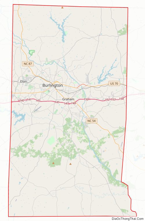
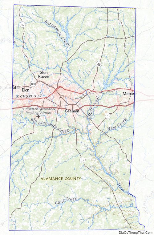
Alamance County Road Map
Geography
According to the U.S. Census Bureau, the county has a total area of 435 square miles (1,130 km), of which 424 square miles (1,100 km) are land and 11 square miles (28 km) (2.5%) are covered by water.
The county is in the Piedmont physiographical region. It has a general rolling terrain with the Cane Creek Mountains rising to over 970 ft (300 m) in the south-central part of the county just north of Snow Camp. Bass Mountain, one of the prominent hills in the range, is home to a world-renowned bluegrass music festival every year. Also, isolated monadnocks are in the northern part of the county that rise to near or over 900 ft (270 m) above sea level.
The largest river that flows through Alamance County is the Haw, which feeds into Jordan Lake in Chatham County, eventually leading to the Cape Fear River. The county is also home to numerous creeks, streams, and ponds, including Great Alamance Creek, where a portion of the Battle of Alamance was fought. The three large municipal reservoirs are: Lake Cammack, Lake Mackintosh, and Graham-Mebane Lake (formerly Quaker Lake). The southwest end of the county is drained by North Rocky River Prong and Greenbrier Creek, two tributaries of the Rocky River in the Deep River system.
State and local protected areas/sites
- Alamance Battleground State Historic Site
- Bass Mountain Summit
- Burlington Downtown Depot
- Cane Creek Mountains Natural Area
- Cedarock Park
- Graham Regional Park
- Lake Cammack Park & Marina
- Shallow Ford Natural Area
Major water bodies
- Great Alamance Creek
- Cane Creek (Haw River tributary, left bank)
- Cane Creek (Haw River tributary, right bank)
- Haw River
- Lake Cammack
- Lake Mackintosh
- Little Alamance Creek
- Poppaw Creek
- Quaker Creek Reservoir
- Sellers Manufacturing Company Lake
- Stagg Creek
Adjacent counties
- Caswell County – north
- Orange County – east
- Chatham County – south-southeast
- Randolph County – southwest
- Guilford County – west
- Rockingham County – northwest
Major highways
Alamance County has several state and federal highways running through it.
Going east-west in the county:
- Interstate 85/Interstate 40 (concurrent), also known as the Sam Hunt Freeway, named after a former North Carolina Secretary of Transportation. Interstates 85/40 run east-to-west through the central part of the county, extending to Hillsborough and Greensboro, respectively.
- U.S. Highway 70. Highway 70 nearly parallels 85/40 a few miles north of the interstates as it passes through the downtown sections of Burlington, Haw River, and Mebane.
- N.C. Highway 49 runs southwest to northeast from the Liberty area (Randolph County), through Burlington, Graham, and Haw River, to the Pleasant Grove Community area, before turning northeast and continuing into Orange County.
- N.C. Highway 54 runs from its northwestern end at its intersection with U.S. Highway 70 in Burlington southeast to the Orange County line in the southeast part of the county.
- N.C. Highway 62 runs southwest to northeast entering from Guilford County into Kimesville, then through Burlington, to Pleasant Grove. It then turns north and heads to Caswell County.
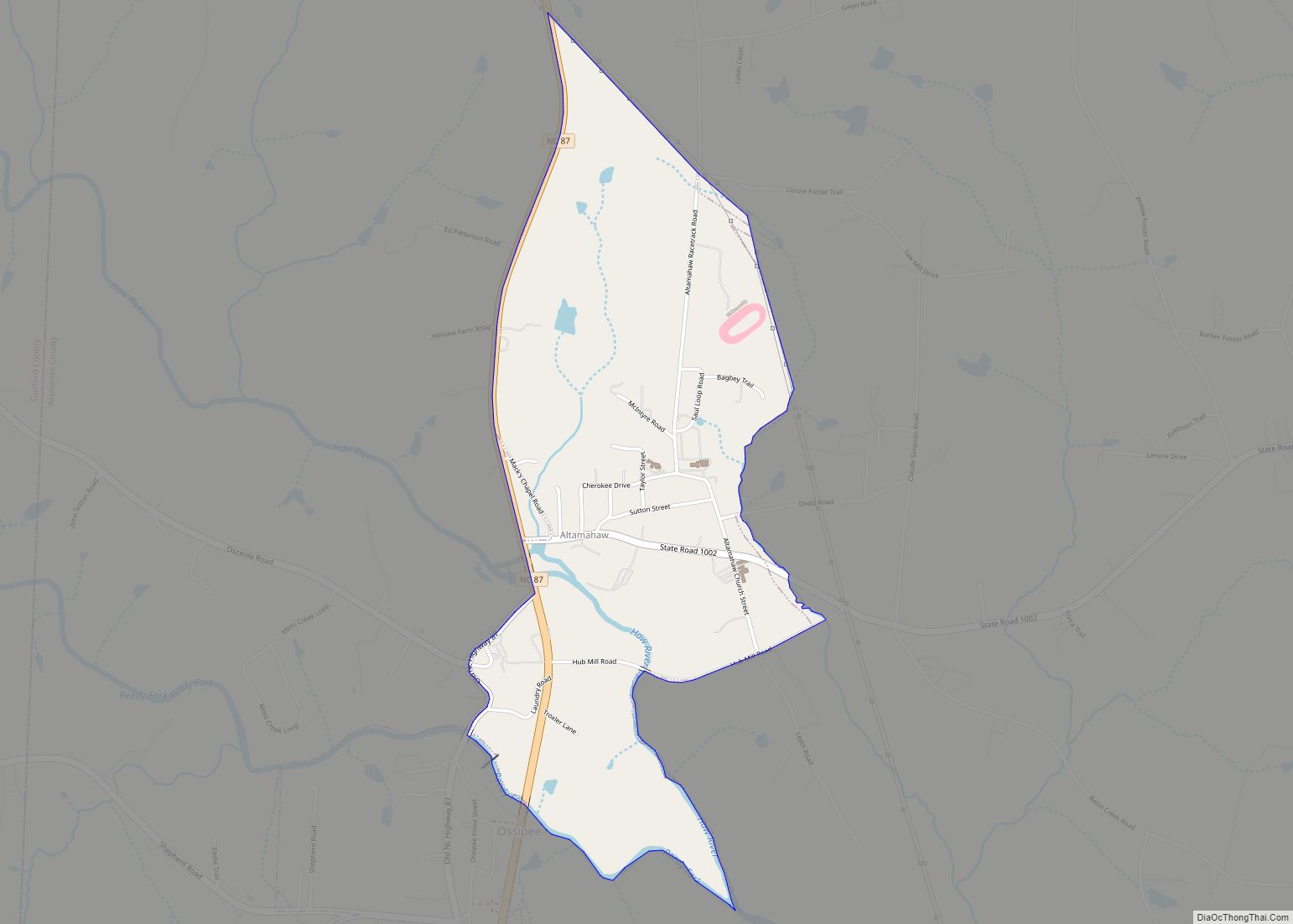
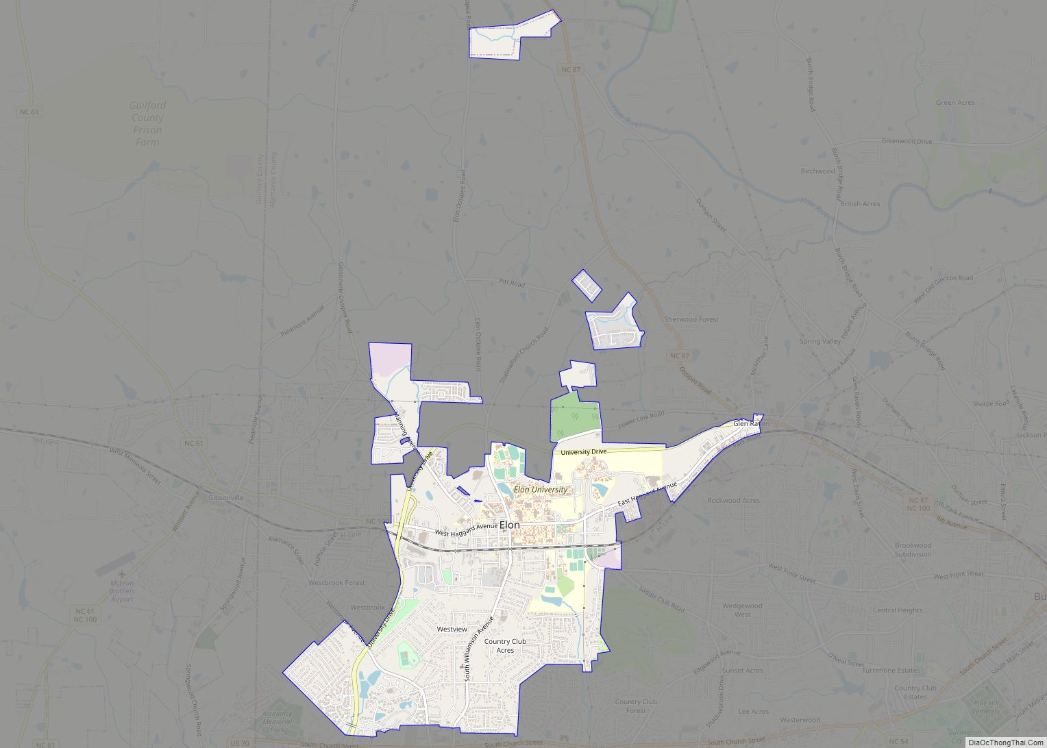
- N.C. Highway 87 serves as the main north–south route through the county. It enters from the south at the Chatham County line into Eli Whitney, then through the major cities of Graham and Burlington, and a small part of Elon, before continuing north and heading through the Altamahaw-Ossipee area, finally moving into Caswell and Rockingham Counties.
- N.C. Highway 100 forms a loop through downtown Burlington, starting at the intersection of Maple Avenue and Chapel Hill Road before moving north, then northwest, then going through Elon and moving on to Gibsonville and Guilford County.
- N.C. Highway 119 runs roughly north from its southern terminus at an intersection with N.C. Highway 54, moving through Mebane and heading north into Caswell County.
Major Infrastructure
- Burlington–Alamance Regional Airport
- Burlington Station
Alamance County Topographic Map
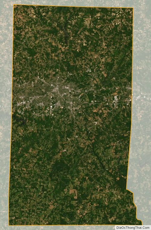
Alamance County Satellite Map
Alamance County Outline Map