Burlington is a city in Alamance and Guilford counties in the U.S. state of North Carolina. It is the principal city of the Burlington, North Carolina Metropolitan Statistical Area, which encompasses all of Alamance County, in which most of the city is located, and is a part of the Greensboro-Winston-Salem-High Point Combined Statistical Area. The population was 57,303 at the 2020 census, which makes Burlington the 18th largest city in North Carolina.
| Name: | Burlington city |
|---|---|
| LSAD Code: | 25 |
| LSAD Description: | city (suffix) |
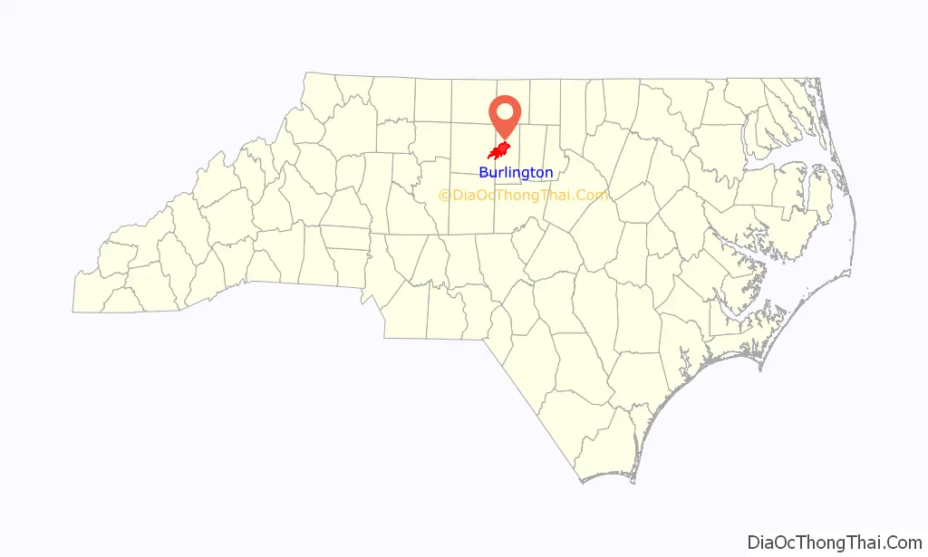
| State: | North Carolina |
| County: | Alamance County, Guilford County |
| Founded: | 1857 (Company Shops) |
| Incorporated: | February 14, 1893 |
| Elevation: | 633 ft (193 m) |
| Land Area: | 30.27 sq mi (78.38 km²) |
| Water Area: | 1.55 sq mi (4.03 km²) 0.82% |
| Population Density: | 1,893.38/sq mi (731.05/km²) |
| ZIP code: | 27215, 27216, 27217 |
| Area code: | 336/743 |
| FIPS code: | 3709060 |
| GNISfeature ID: | 0982279 |
| Website: | www.burlingtonnc.gov |
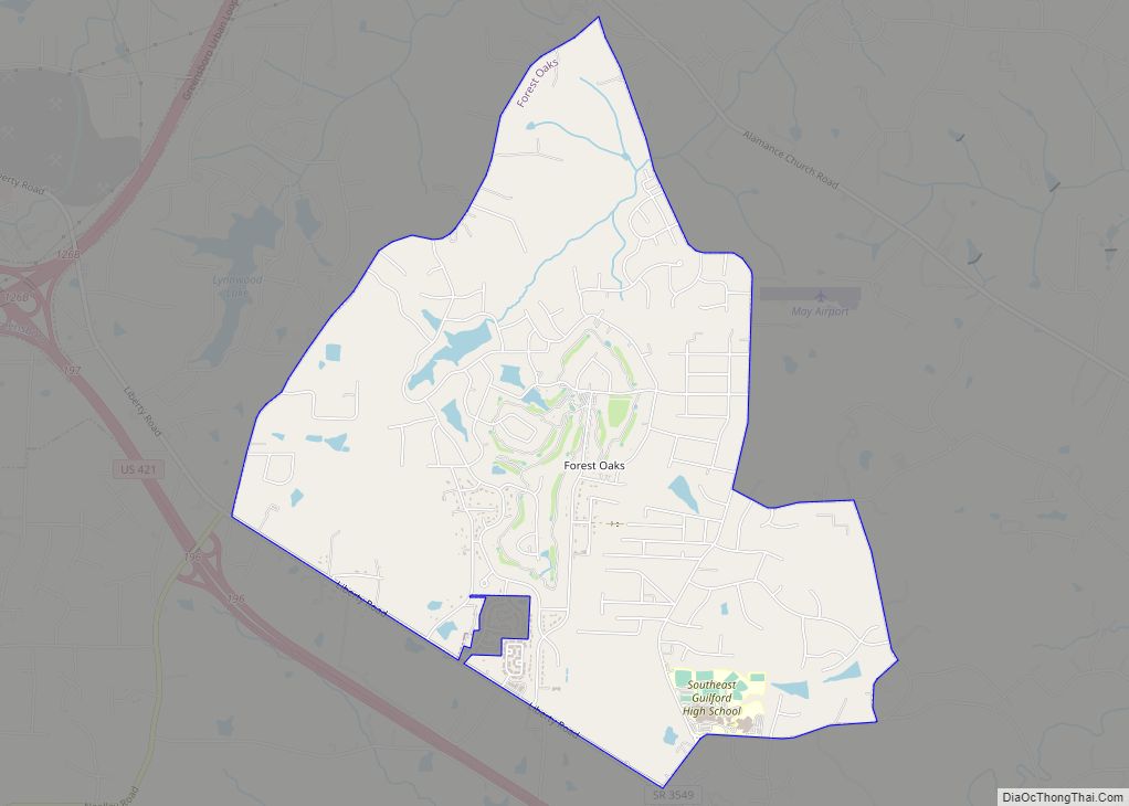
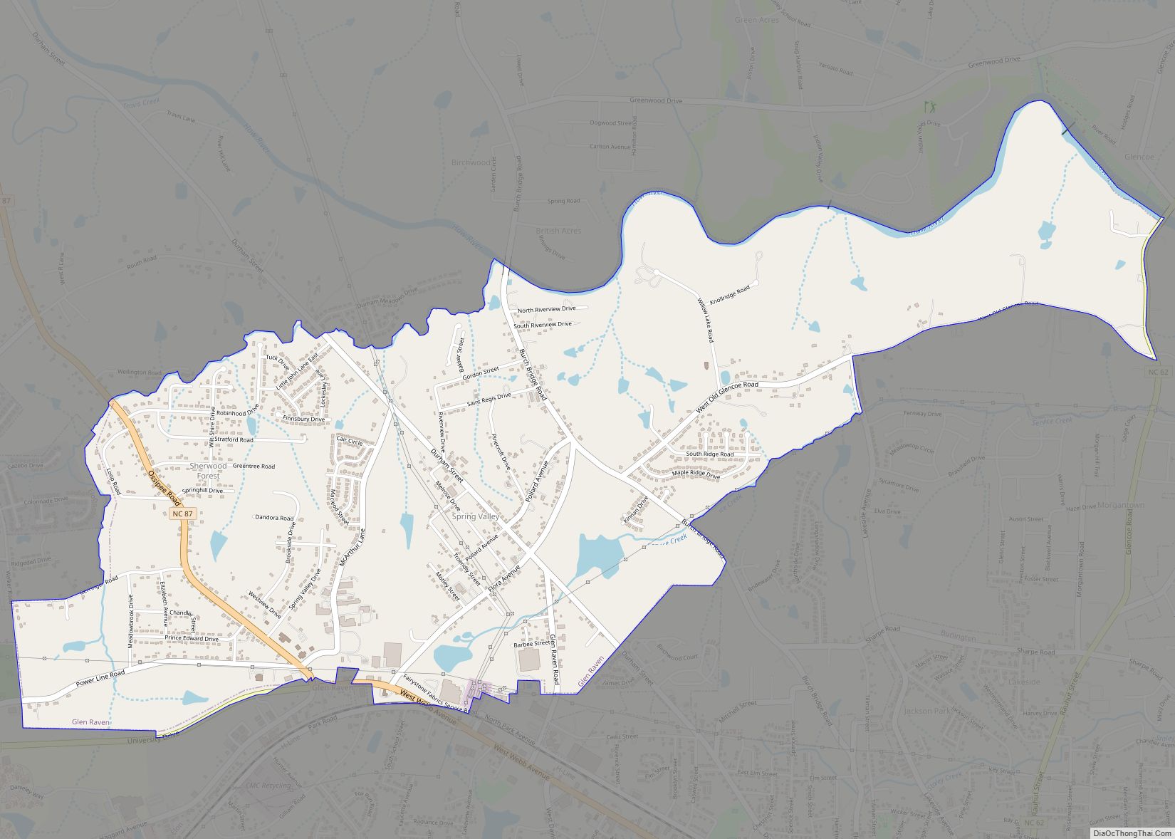
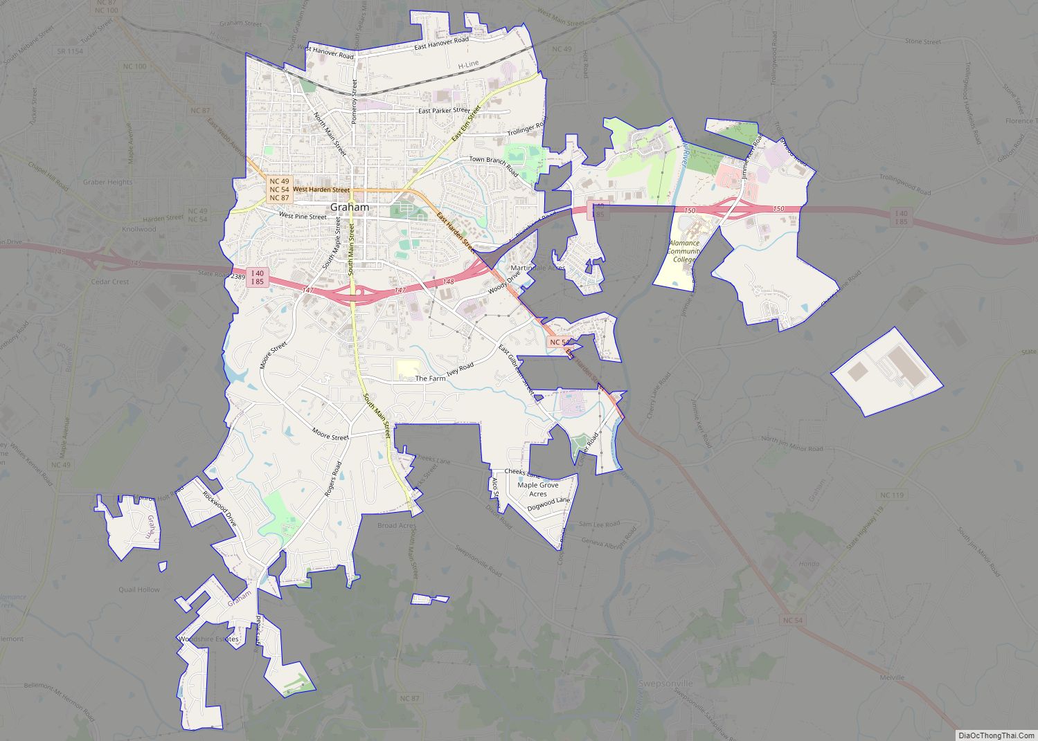
Online Interactive Map
Click on ![]() to view map in "full screen" mode.
to view map in "full screen" mode.
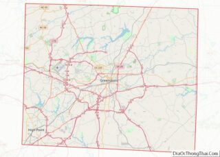
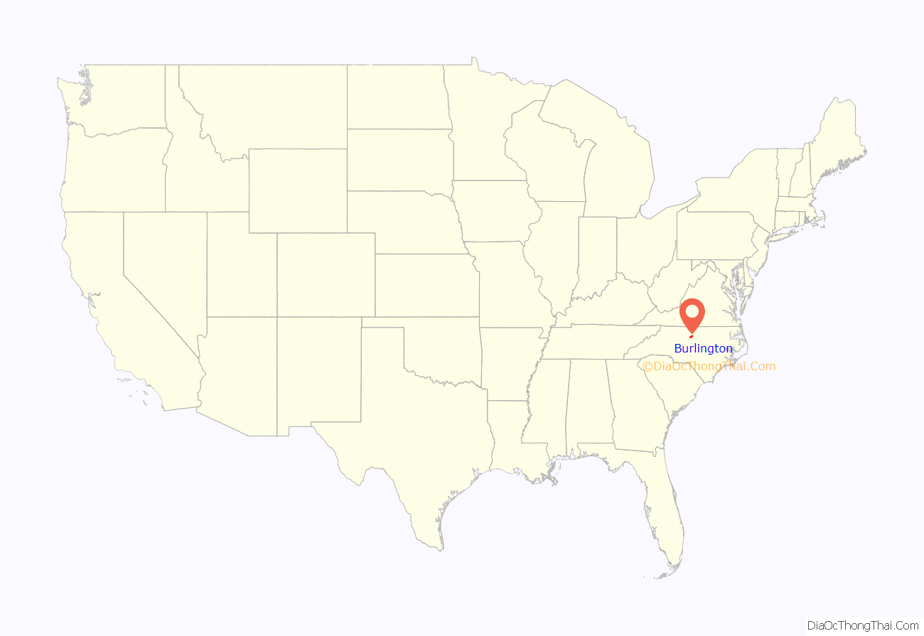
Burlington location map. Where is Burlington city?
History
Alamance County was created when Orange County was partitioned in 1849. Early settlers included several groups of Quakers, many of which remain active in the Snow Camp area, German farmers, and Scots-Irish immigrants.
The need of the North Carolina Railroad in the 1850s to locate land where they could build, repair and do maintenance on its track was the genesis of Burlington, North Carolina. The company selected a piece of land slightly west of present-day Graham. On January 29, 1856, the last spikes were driven into the final tie of the North Carolina Railroad project, uniting the cities of Goldsboro and Charlotte by rail. The next day, the first locomotive passed along the new route. When the iron horse arrived in Alamance County, locals referred to it as “the eighth wonder of the world”.
Not long after this historic opening, the railroad realized a pressing need for repair shops. With Alamance County’s position along the new line, it became the logical choice for the shops’ location. After several debates concerning where the shops would be located, Gen. Benjamin Trollinger, a progressive Alamance County manufacturer, made an offer that settled the matter. Gen. Trollinger owned land just northwest of Graham, and he convinced several other prominent citizens owning adjacent lots to join him and sell their property to the railroad. 57 buildings were constructed between 1855 and 1859, including structures for engine and machine shops, carpentry, blacksmithing, houses for workers and railway officials, and company headquarters. For a brief period, railroad directors changed the name of official name of “Company Shops” to “Vance” (1863–1864), but the town returned to the “Company Shops” moniker in July 1864, and officially incorporating as Company Shops in 1866. Thirty-nine white men and two free African-Americans were employed in or around the shops, with twenty enslaved individuals constrained to assist. Sale of town lots soon started, but not surprisingly, the sale of lots was slow until after the Civil War. By 1864, Company Shops numbered about 300 persons.
Through a series of leases and mergers, the railroad was leased to Richmond & Danville Railroad (1871), working as part of the Pennsylvania Railroad, and in 1893, the North Carolina Railroad was folded into the Southern Railway system. Following the leasing of the railroad to Richmond & Danville, many of the railroad jobs transferred to Richmond and Manchester. With the railroad shops no longer operated there, the citizens of Company Shops decided a new name was needed. In February 1887, a contest was held to decide a name, and one person submitted the name “Burlington” after seeing it on a passing train. An appointed committee for the town selected the name, and the name was officially changed through North Carolina State Legislature.
Around the turn of the century, E. M. Holt established small textile operations along the Haw River and Great Alamance Creek. In 1908, E. M. Holt built the first cotton mill in the South. From the establishment of this single factory, Alamance County grew to eventually operate 30 cotton mills and 10 to 15 yarn manufacturing plants employing 15,000 people. Eventually, the early textile venture of E. M. Holt became known all over the world as Burlington Industries, and is now headquartered in nearby Greensboro. Throughout this period, Burlington became a prosperous and vibrant little city filled with schools, churches, newspapers, telegraph and telephone lines, roads and a streetcar line—all in keeping with the latest “modern progress” of the times.
Though textiles continued to dominate the local economy well into the 1970s, the people of Burlington knew they could not survive with only one industry. The country’s involvement in World War II brought important local economic changes. In 1942, the federal government purchased and leased a 22-acre (8.9 ha) site to Fairchild Aircraft Corporation for the construction of test aircraft. After two years of production, the site was leased to Firestone Tire Company for the Army’s tank rebuilding program. At the close of the war, the federal government chose not to leave, but to utilize the property for government contract business. This decision would bring Western Electric to town along with new employees from around the country. Their contracts ensured Burlington’s participation during the Cold War manufacturing and testing of emerging defense technologies. Four decades later (1991), however, the doors to Western Electric (then AT&T Federal Systems Division) were locked, and another chapter of Burlington’s history was over.
During this century-and-a-half of economic change, Burlington grew, adapted and prospered. Originally the center of commerce for Company Shops, the downtown area still serves as the heart of today’s community with financial services, government services, an expanded library, small shops, eateries and a restored theater. Downtown has also returned to its status as a major employment center, becoming the home to Laboratory Corporation of America, one of the world’s largest biomedical testing firms and Burlington/Alamance County’s largest employer.
The Alamance Hotel, Allen House, Atlantic Bank and Trust Company Building, Beverly Hills Historic District, Downtown Burlington Historic District, East Davis Street Historic District, Efird Building, First Baptist Church, First Christian Church of Burlington, Polly Fogleman House, Holt-Frost House, Horner Houses, Lakeside Mills Historic District, McCray School, Menagerie Carousel, Moore-Holt-White House, South Broad-East Fifth Streets Historic District, Southern Railway Passenger Station, St. Athanasius Episcopal Church and Parish House and the Church of the Holy Comforter, Stagg House, Sunny Side, US Post Office, West Davis Street-Fountain Place Historic District, and Windsor Cotton Mills Office are listed on the National Register of Historic Places.
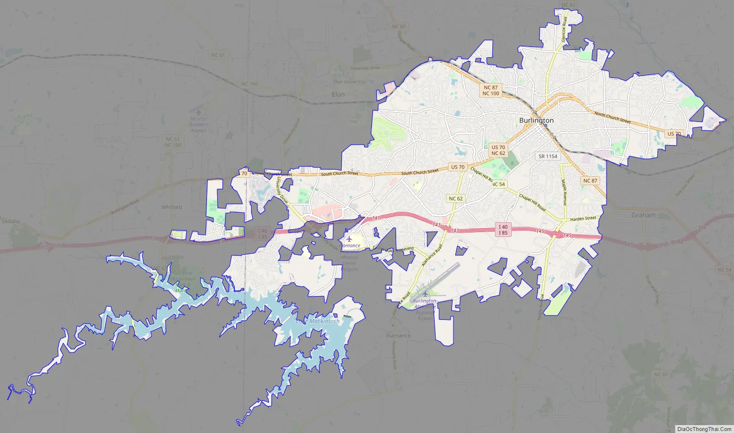
Burlington Road Map
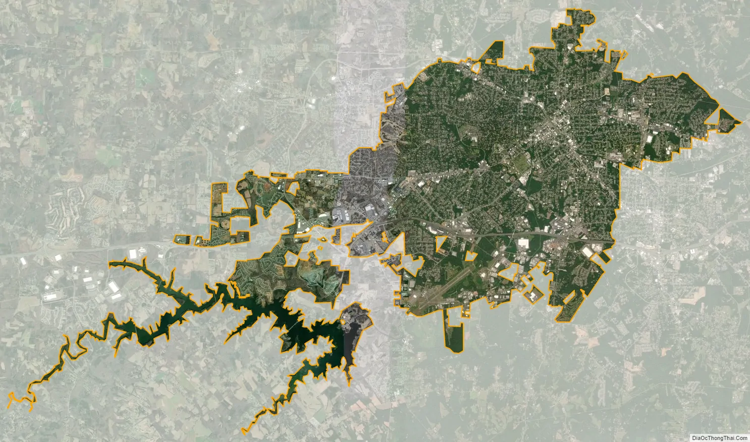
Burlington city Satellite Map
Geography
Burlington is located at 36°5′23″N 79°26′44″W / 36.08972°N 79.44556°W / 36.08972; -79.44556 (36.089636, -79.445578).
Located in the Piedmont region of North Carolina, Burlington is characterized as having mostly flat land with a few rolling hills.
According to the United States Census Bureau, the city has a total area of 25.4 square miles (65.7 km), of which 25.2 square miles (65.2 km) is land and 0.19 square miles (0.5 km), or 0.82%, is water.
Climate
The climate in this area is characterized by relatively high temperatures and evenly distributed precipitation throughout the year. According to the Köppen Climate Classification system, Burlington has a Humid subtropical climate, abbreviated “Cfa” on climate maps.
See also
Map of North Carolina State and its subdivision:- Alamance
- Alexander
- Alleghany
- Anson
- Ashe
- Avery
- Beaufort
- Bertie
- Bladen
- Brunswick
- Buncombe
- Burke
- Cabarrus
- Caldwell
- Camden
- Carteret
- Caswell
- Catawba
- Chatham
- Cherokee
- Chowan
- Clay
- Cleveland
- Columbus
- Craven
- Cumberland
- Currituck
- Dare
- Davidson
- Davie
- Duplin
- Durham
- Edgecombe
- Forsyth
- Franklin
- Gaston
- Gates
- Graham
- Granville
- Greene
- Guilford
- Halifax
- Harnett
- Haywood
- Henderson
- Hertford
- Hoke
- Hyde
- Iredell
- Jackson
- Johnston
- Jones
- Lee
- Lenoir
- Lincoln
- Macon
- Madison
- Martin
- McDowell
- Mecklenburg
- Mitchell
- Montgomery
- Moore
- Nash
- New Hanover
- Northampton
- Onslow
- Orange
- Pamlico
- Pasquotank
- Pender
- Perquimans
- Person
- Pitt
- Polk
- Randolph
- Richmond
- Robeson
- Rockingham
- Rowan
- Rutherford
- Sampson
- Scotland
- Stanly
- Stokes
- Surry
- Swain
- Transylvania
- Tyrrell
- Union
- Vance
- Wake
- Warren
- Washington
- Watauga
- Wayne
- Wilkes
- Wilson
- Yadkin
- Yancey
- Alabama
- Alaska
- Arizona
- Arkansas
- California
- Colorado
- Connecticut
- Delaware
- District of Columbia
- Florida
- Georgia
- Hawaii
- Idaho
- Illinois
- Indiana
- Iowa
- Kansas
- Kentucky
- Louisiana
- Maine
- Maryland
- Massachusetts
- Michigan
- Minnesota
- Mississippi
- Missouri
- Montana
- Nebraska
- Nevada
- New Hampshire
- New Jersey
- New Mexico
- New York
- North Carolina
- North Dakota
- Ohio
- Oklahoma
- Oregon
- Pennsylvania
- Rhode Island
- South Carolina
- South Dakota
- Tennessee
- Texas
- Utah
- Vermont
- Virginia
- Washington
- West Virginia
- Wisconsin
- Wyoming