Graham is a city in Alamance County, North Carolina, United States. It is part of the Burlington, North Carolina Metropolitan Statistical Area. As of the 2020 census the population was 17,153. It is the county seat of Alamance County.
| Name: | Graham city |
|---|---|
| LSAD Code: | 25 |
| LSAD Description: | city (suffix) |
| State: | North Carolina |
| County: | Alamance County |
| Elevation: | 653 ft (199 m) |
| Total Area: | 10.49 sq mi (27.17 km²) |
| Land Area: | 10.42 sq mi (26.99 km²) |
| Water Area: | 0.07 sq mi (0.18 km²) |
| Total Population: | 17,157 |
| Population Density: | 1,646.39/sq mi (635.66/km²) |
| ZIP code: | 27253 |
| Area code: | 336 |
| FIPS code: | 3727280 |
| GNISfeature ID: | 1024758 |
| Website: | www.cityofgraham.com |
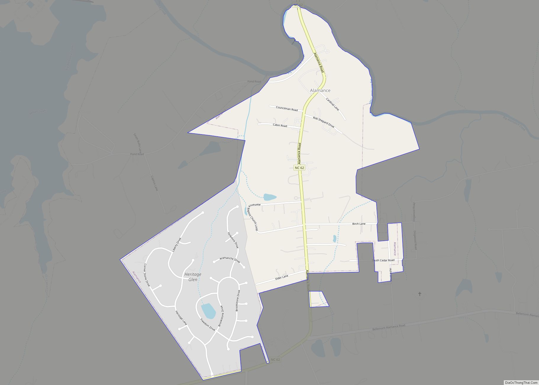
Online Interactive Map
Click on ![]() to view map in "full screen" mode.
to view map in "full screen" mode.
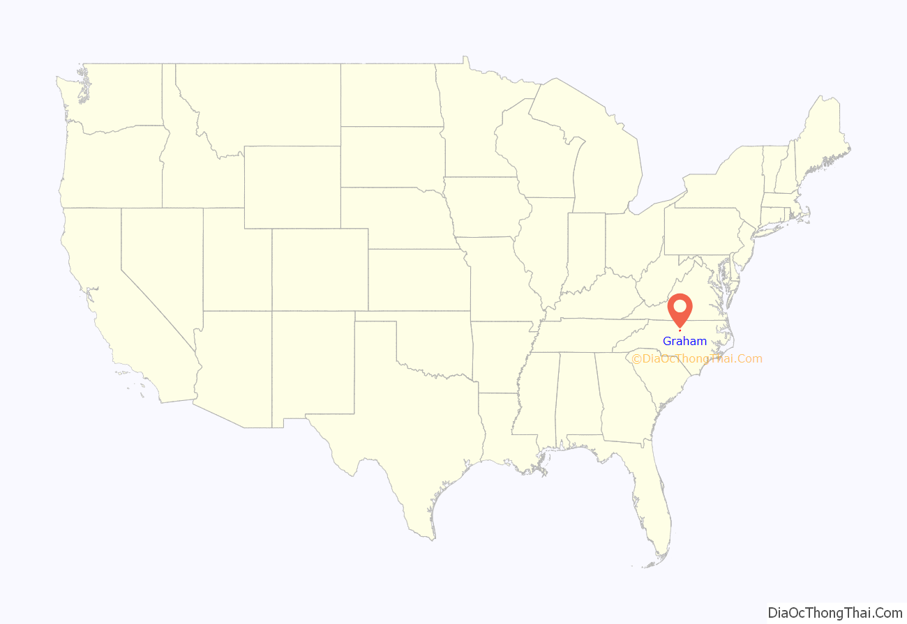
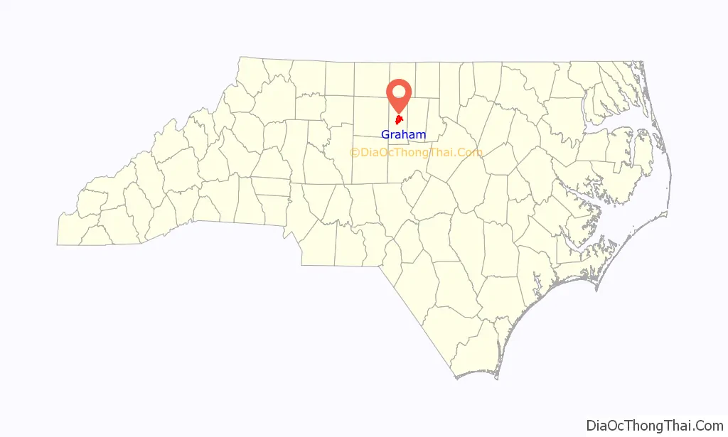
Graham location map. Where is Graham city?
History
Graham was laid out in 1849 as the county seat of the newly formed Alamance County, and was incorporated as a town in 1851; it became a city in 1961. It was named for William Alexander Graham, U.S. senator from North Carolina (1840–1843) and governor of North Carolina (1845–1849).
The lynching of Wyatt Outlaw, the first African-American Town Commissioner and Constable of Graham, on February 26, 1870, by the Ku Klux Klan, along with the assassination of State Senator John W. Stephens at the Caswell County Courthouse, provoked Governor William Woods Holden to declare martial law in Alamance and Caswell Counties, resulting in the Kirk-Holden War of 1870.
National Register of Historic Places
Alamance County Courthouse, Cedarock Park Historic District, Graham Historic District, William P. Morrow House, North Main Street Historic District, and Oneida Cotton Mills and Scott-Mebane Manufacturing Company Complex are listed on the National Register of Historic Places.
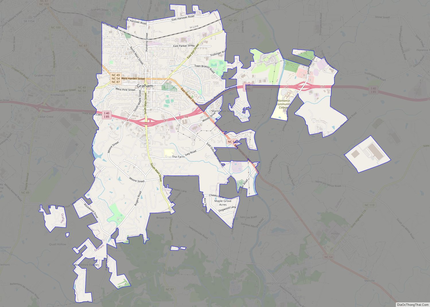
Graham Road Map

Graham city Satellite Map

Geography
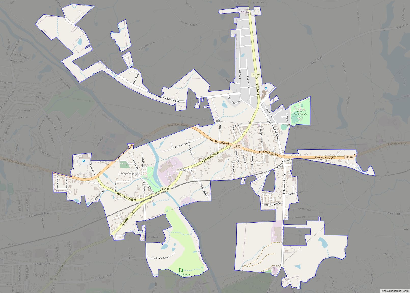
Graham is located at 36°3′52″N 79°23′53″W / 36.06444°N 79.39806°W / 36.06444; -79.39806 (36.064486, -79.397941). It is bordered to the north and the west by the city of Burlington and to the northeast by the town of Haw River. The Haw River runs along the east edge of Graham, and the city extends south as far as Alamance Creek. Interstate 85 runs through the city, leading east to Durham and west to Greensboro.
According to the United States Census Bureau, the city has a total area of 9.7 square miles (25.1 km), of which 9.6 square miles (24.9 km) is land and 0.077 square miles (0.2 km), or 0.67%, is water.
Climate
The climate in this area is characterized by relatively high temperatures and evenly distributed precipitation throughout the year. According to the Köppen Climate Classification system, Graham has a Humid subtropical climate, abbreviated “Cfa” on climate maps.
See also
Map of North Carolina State and its subdivision:- Alamance
- Alexander
- Alleghany
- Anson
- Ashe
- Avery
- Beaufort
- Bertie
- Bladen
- Brunswick
- Buncombe
- Burke
- Cabarrus
- Caldwell
- Camden
- Carteret
- Caswell
- Catawba
- Chatham
- Cherokee
- Chowan
- Clay
- Cleveland
- Columbus
- Craven
- Cumberland
- Currituck
- Dare
- Davidson
- Davie
- Duplin
- Durham
- Edgecombe
- Forsyth
- Franklin
- Gaston
- Gates
- Graham
- Granville
- Greene
- Guilford
- Halifax
- Harnett
- Haywood
- Henderson
- Hertford
- Hoke
- Hyde
- Iredell
- Jackson
- Johnston
- Jones
- Lee
- Lenoir
- Lincoln
- Macon
- Madison
- Martin
- McDowell
- Mecklenburg
- Mitchell
- Montgomery
- Moore
- Nash
- New Hanover
- Northampton
- Onslow
- Orange
- Pamlico
- Pasquotank
- Pender
- Perquimans
- Person
- Pitt
- Polk
- Randolph
- Richmond
- Robeson
- Rockingham
- Rowan
- Rutherford
- Sampson
- Scotland
- Stanly
- Stokes
- Surry
- Swain
- Transylvania
- Tyrrell
- Union
- Vance
- Wake
- Warren
- Washington
- Watauga
- Wayne
- Wilkes
- Wilson
- Yadkin
- Yancey
- Alabama
- Alaska
- Arizona
- Arkansas
- California
- Colorado
- Connecticut
- Delaware
- District of Columbia
- Florida
- Georgia
- Hawaii
- Idaho
- Illinois
- Indiana
- Iowa
- Kansas
- Kentucky
- Louisiana
- Maine
- Maryland
- Massachusetts
- Michigan
- Minnesota
- Mississippi
- Missouri
- Montana
- Nebraska
- Nevada
- New Hampshire
- New Jersey
- New Mexico
- New York
- North Carolina
- North Dakota
- Ohio
- Oklahoma
- Oregon
- Pennsylvania
- Rhode Island
- South Carolina
- South Dakota
- Tennessee
- Texas
- Utah
- Vermont
- Virginia
- Washington
- West Virginia
- Wisconsin
- Wyoming