Alleghany County is an American county located on the far western edge of Commonwealth of Virginia. It is bordered by the Allegheny Mountains, from which the county derives its name, and it is the northernmost part of the Roanoke Region. The county seat is Covington. As of the 2020 census, the population was 15,223.
The county was created in 1822 from parts of Botetourt County, Bath County, and Monroe County (now in West Virginia). At the time, the majority of the population lived around Covington, and the primary cash crop then was hemp, which was used for rope production.
| Name: | Alleghany County |
|---|---|
| FIPS code: | 51-005 |
| State: | Virginia |
| Founded: | 1822 |
| Named for: | Alleghany Mountains |
| Seat: | Covington |
| Largest town: | Clifton Forge |
| Total Area: | 449 sq mi (1,160 km²) |
| Land Area: | 445 sq mi (1,150 km²) |
| Total Population: | 15,223 |
| Population Density: | 34/sq mi (13/km²) |
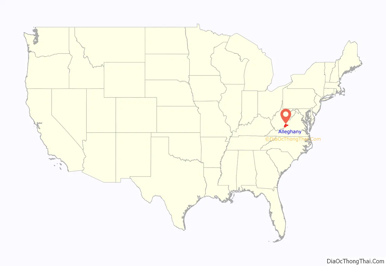
Alleghany County location map. Where is Alleghany County?
History
Alleghany County was established on January 5, 1822, by an act of the Virginia General Assembly. The new county was formed from parts of Botetourt, Bath, and Monroe (now West Virginia) counties, with most of the population centered in the new county seat in Covington. Alleghany County was named for the Allegheny Mountains, which border the western edge of the county.
When the county was established, the principal export was hemp, used for rope production in Richmond. However, as hemp demand and prices declined, the farmers of Alleghany switched to grain, hay and livestock production.
During the American Civil War, the iron for the CSS Virginia (Merrimac) came from Longdale Furnace in the county. Regiments from Alleghany County were at the surrender at Appomattox.
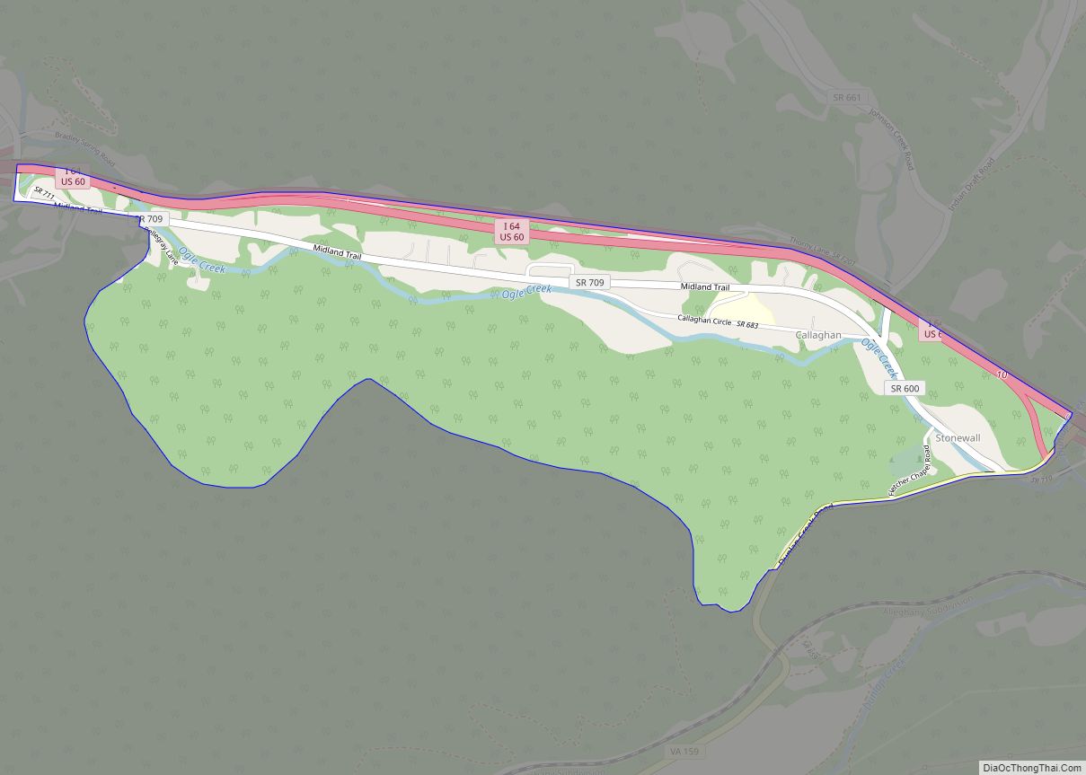
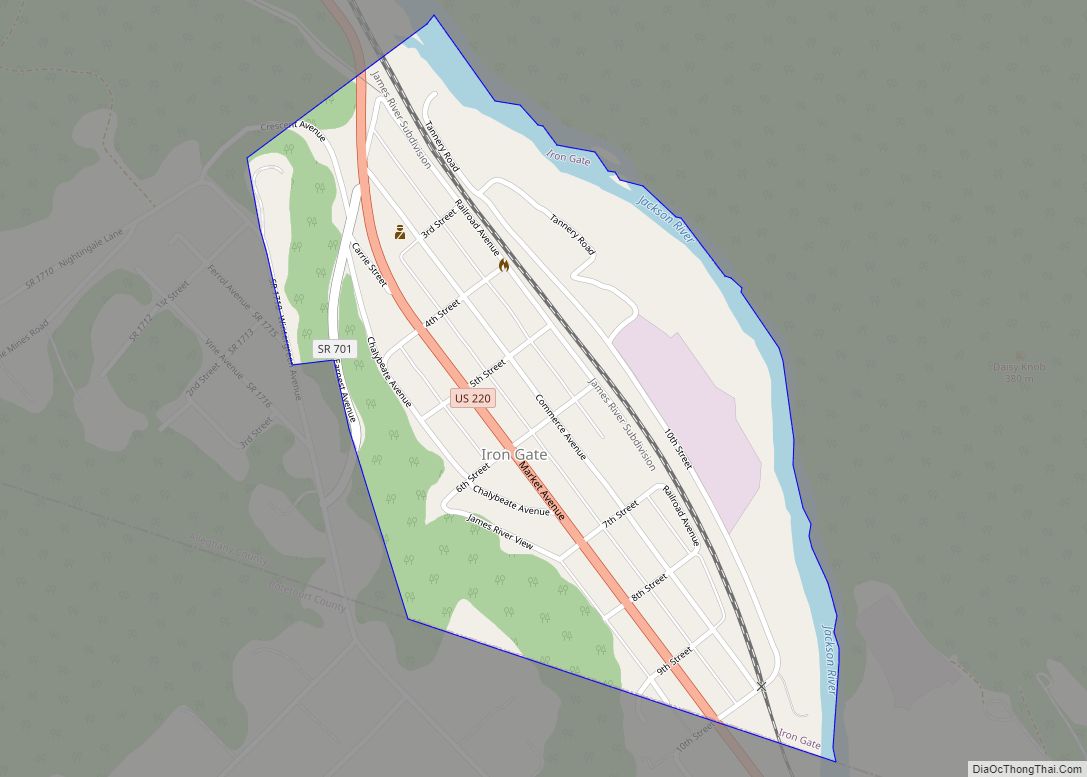
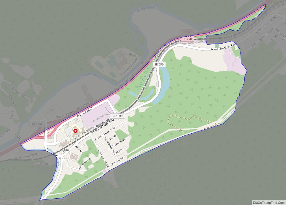
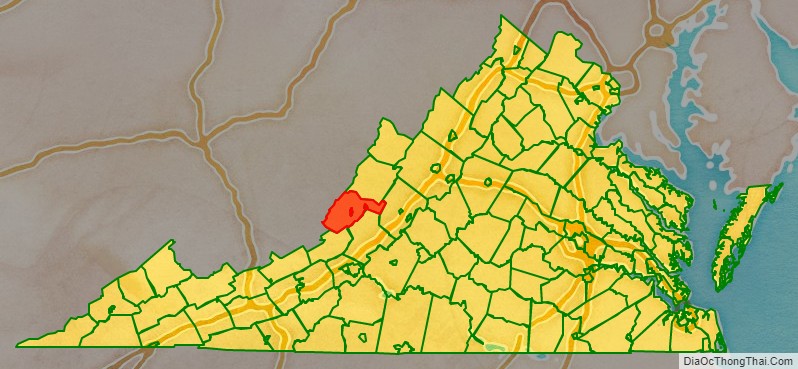
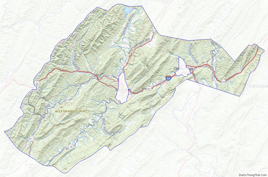
Alleghany County Road Map
Geography
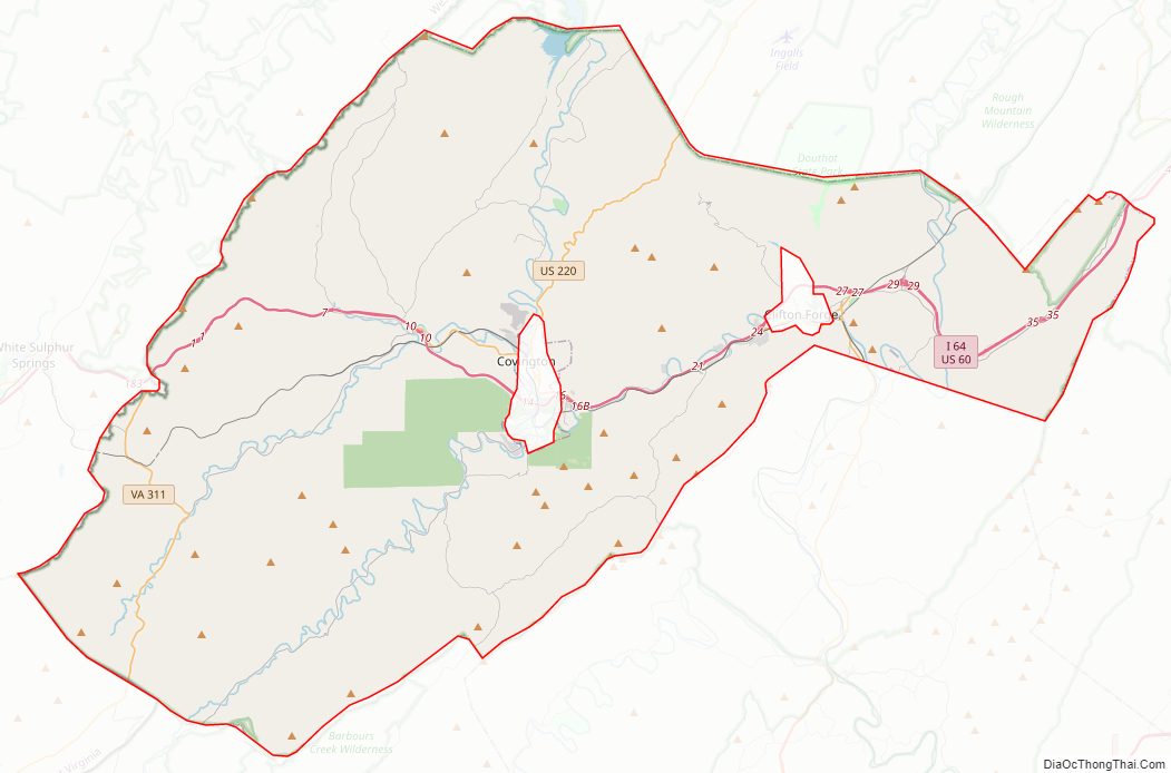
According to the U.S. Census Bureau, the county has a total area of 449 square miles (1,160 km), of which 445 square miles (1,150 km) is land and 3.3 square miles (8.5 km) (0.7%) is water.
Adjacent counties
- Bath County – north
- Rockbridge County – east
- Botetourt County – southeast
- Craig County – south
- Monroe County, West Virginia – southwest
- Greenbrier County, West Virginia – west
National protected areas
- George Washington National Forest (part)
- United States National Radio Quiet Zone (part)
Alleghany County Topographic Map
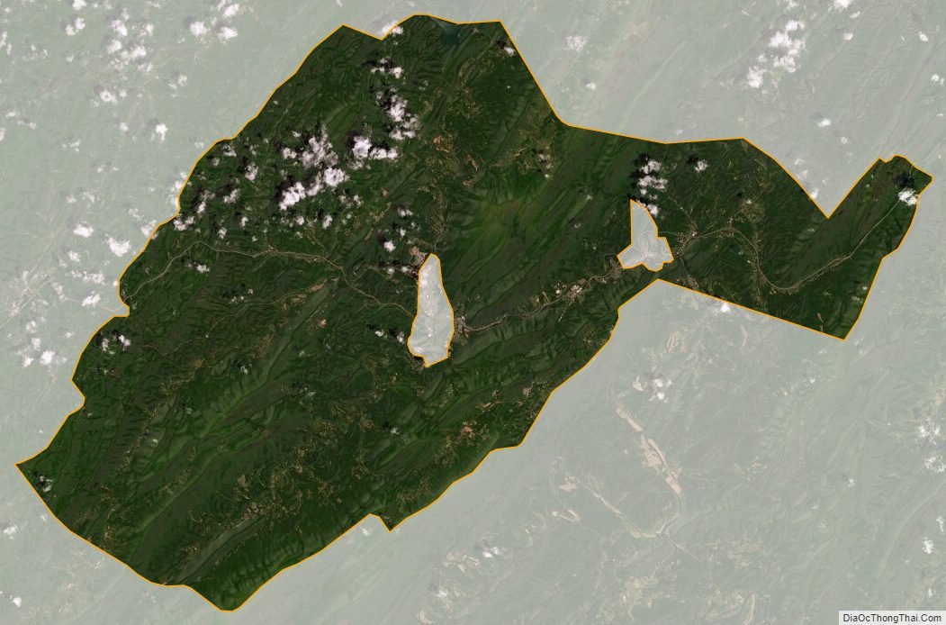
Alleghany County Satellite Map
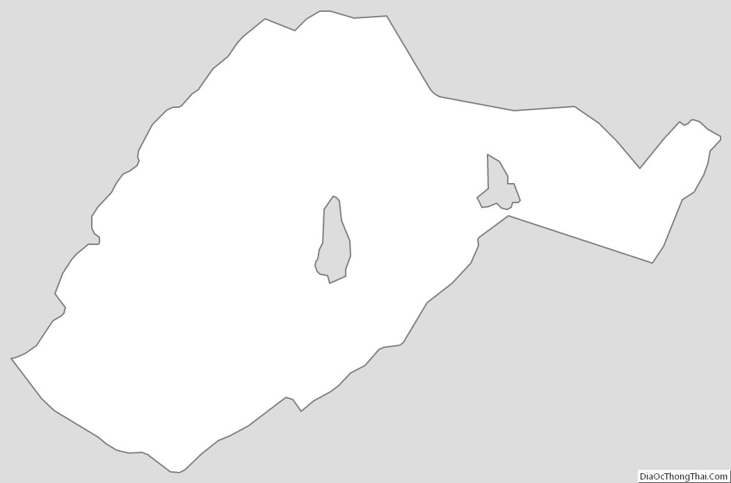
Alleghany County Outline Map