Amherst County is a county, located in the Piedmont region and near the center of the Commonwealth of Virginia in the United States. The county is part of the Lynchburg Metropolitan Statistical Area, and its county seat is also named Amherst.
Amherst County was created in 1761 out of Albemarle County, and it was named in honor of Lord Jeffery Amherst, the so-called “Conqueror of Canada”. In 1807 as population increased, the county was reduced in size in order to form Nelson County. Tobacco was the major cash crop of the county during its early years. The labor-intensive crop was worked and processed by enslaved Africans and African Americans before the American Civil War.
As of the 2020 census, the population of the county was 31,307.
| Name: | Amherst County |
|---|---|
| FIPS code: | 51-009 |
| State: | Virginia |
| Founded: | 1761 |
| Named for: | Jeffery Amherst |
| Seat: | Amherst |
| Largest town: | Amherst |
| Total Area: | 479 sq mi (1,240 km²) |
| Land Area: | 474 sq mi (1,230 km²) |
| Total Population: | 31,307 |
| Population Density: | 65/sq mi (25/km²) |
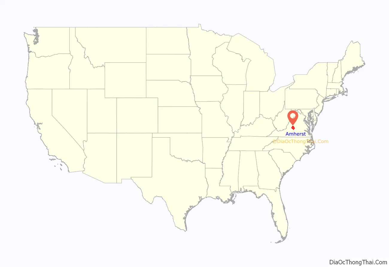
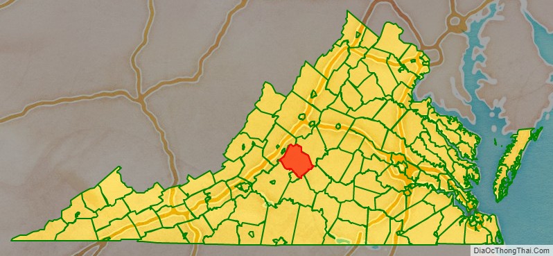
Amherst County location map. Where is Amherst County?
History
Beginning thousands of years in the past, Native Americans were the first humans to populate the area. They hunted and fished mainly along the countless rivers and streams in the county. With the establishment of the Virginia Colony in 1607, English emigrants arrived in North America. By the late 17th century English explorers and traders had traveled up the James River to this area. Early trading posts were established between 1710 and 1720. By 1730, many new English colonial families moved into the area currently known as Amherst County, drawn by the desire for land and the good tobacco-growing soil.
Amherst County was formed in 1761, from part of southwestern Albemarle County. The original county seat had been in Cabelsville, now Colleen, in what would later become Nelson County. The county was named for Lord Amherst, known as the “Conqueror of Canada“, who commanded the British forces that successfully secured Canada from the French during the Seven Years’ War. Jeffery Amherst had previously been named as Governor of Virginia, although he never came to this colony.
In 1806 the county took its present proportions, when Nelson County was formed from its northern half. At that point, the county seat was moved to the village of Five Oaks, later renamed Amherst. The present county courthouse was built in 1870 and has served the county ever since. Amherst County produced more Confederate soldiers per capita than anywhere else in the Confederate States of America.
In the early days, the major crop raised in Amherst County was tobacco. Apple orchards were part of mixed farming that replaced tobacco, especially in the late 19th century. Timber, mining and milling were also important industries. The introduction of the railroad in the late 19th century greatly influenced the county’s growth. The county contains many good examples of 18th, 19th and early 20th century rural and small town architecture. The downtown area of Amherst is a classic example of early 20th century commercial architecture.
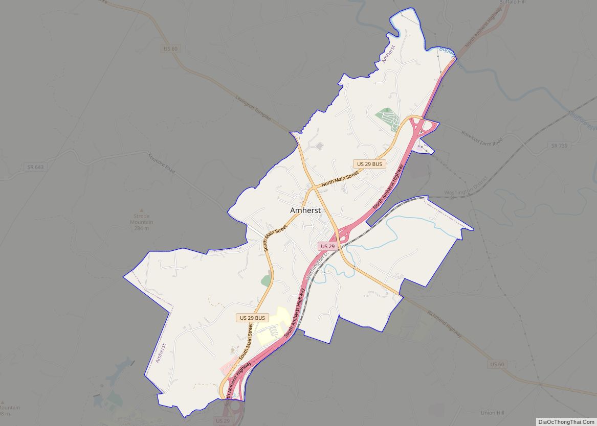
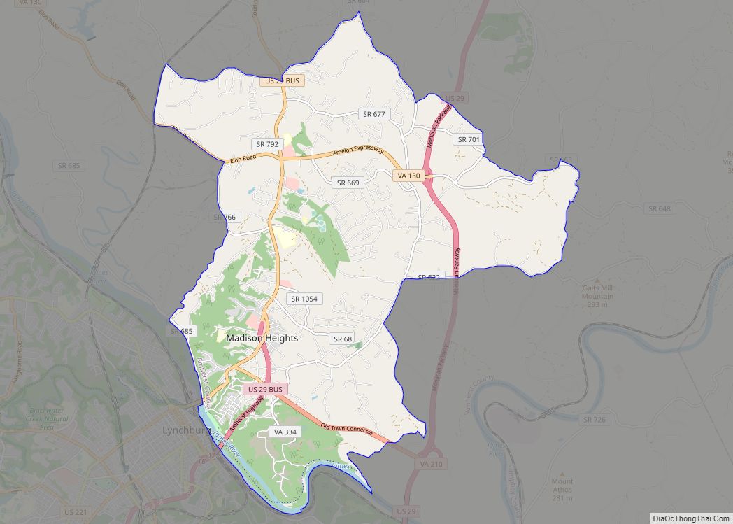
Amherst County Road Map
Geography
According to the U.S. Census Bureau, the county has a total area of 479 square miles (1,240 km), of which 474 square miles (1,230 km) is land and 4.9 square miles (13 km) (1.0%) is water.
Adjacent counties / Independent city
- Rockbridge County – northwest
- Nelson County – northeast
- Appomattox County – southeast
- Campbell County – south
- Lynchburg – south (independent city)
- Bedford County – southwest
National protected areas
- Blue Ridge Parkway (part)
- George Washington National Forest (part)
Major highways
- US 29 (N & S Amherst Hwy, S. Amherst Hwy is US BUS 29 south of Amherst and then turns into the Lynchburg Expressway in Madison Heights; Monacan Trail)
- US 60 (Lexington Turnpike; Richmond Hwy)
- US 501 (joins SR 130 and becomes Elon Rd.)
- SR 130 (Elon Rd; Amelon Hwy)
- SR 151 (Patrick Henry Hwy)
- SR 163 (S Amherst Hwy)
- SR 210 (Old Town Connector)


