Bartholomew County is a county located in the U.S. state of Indiana. The population was 82,208 at the 2020 census. The county seat is Columbus. The county was determined by the U.S. Census Bureau to be home to the mean center of U.S. population in 1900.
Bartholomew County makes up the Columbus, Indiana Metropolitan Statistical Area, which is part of the Indianapolis-Carmel-Muncie Combined Statistical Area.
| Name: | Bartholomew County |
|---|---|
| FIPS code: | 18-005 |
| State: | Indiana |
| Founded: | 12 February 1821 |
| Named for: | Joseph Bartholomew |
| Seat: | Columbus |
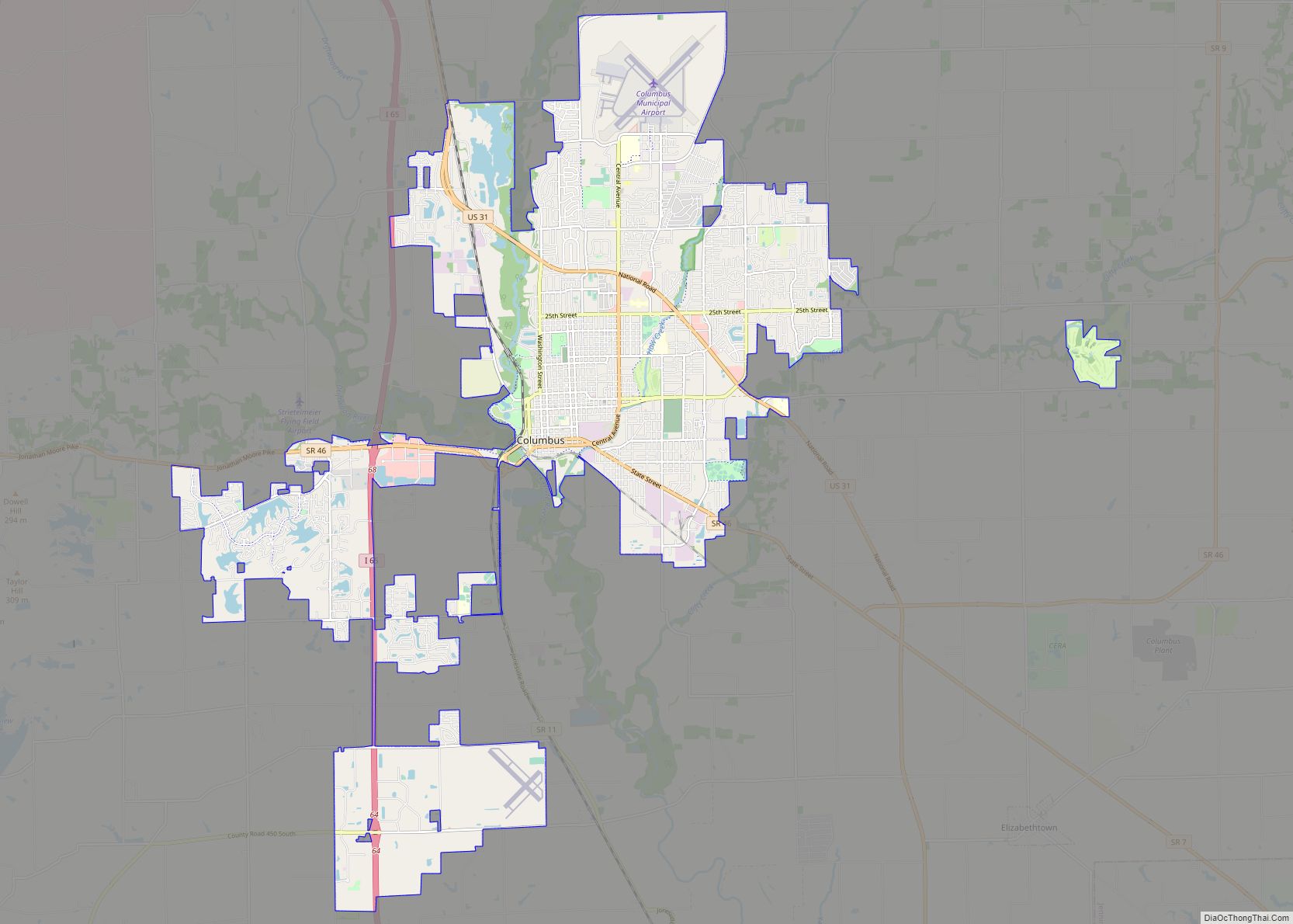
| Largest city: | Columbus |
| Total Area: | 409.52 sq mi (1,060.7 km²) |
| Land Area: | 406.91 sq mi (1,053.9 km²) |
| Total Population: | 82,208 |
| Population Density: | 189/sq mi (72.88/km²) |
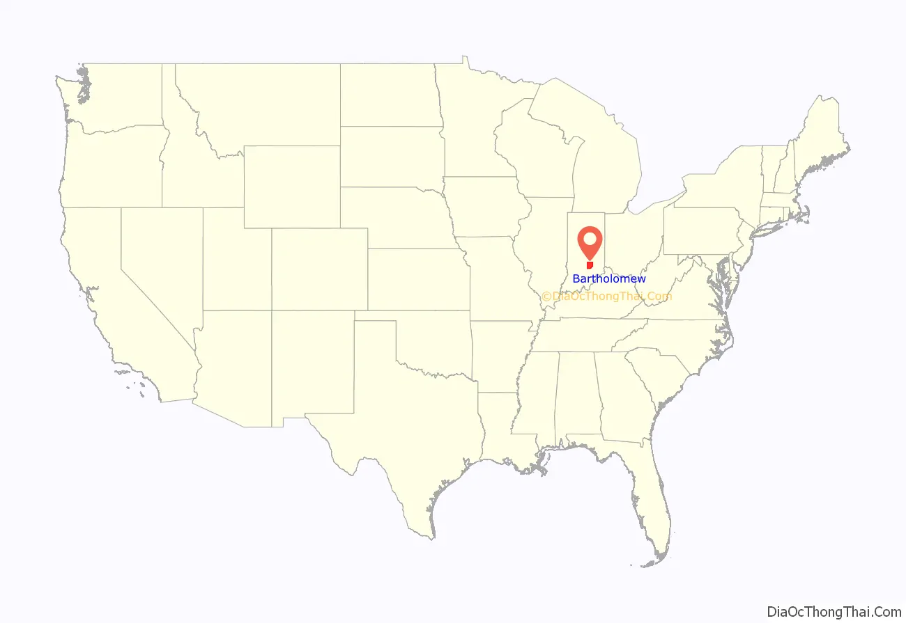
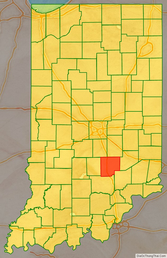
Bartholomew County location map. Where is Bartholomew County?
History
Bartholomew County was formed on February 12, 1821, and was named for Lt. Col. Joseph Bartholomew, wounded at the Battle of Tippecanoe. The site of the county seat was chosen on February 15, 1821, by a team of commissioners, who suggested the name Tiptona, in honor of John Tipton.
Courthouse
The current Bartholomew County courthouse was built from 1870 to 1874 by McCormack and Sweeney of Columbus at a cost of $225,000.
It was designed by architect Isaac Hodgson, who was born in Belfast, Ireland in 1826 and immigrated to the United States in 1848; he designed six Indiana courthouses, including the one in Henry County.
The courthouse is built largely of brick and has mansard roofs typical of the Second Empire French style. Its asymmetrical “L” shape allows it to face two major streets in Columbus. The inscription indicating the commissioners, architect and date is high up on the east facade.
Today the Bartholomew County Veterans Memorial designed by American architect Charles Rose sits adjacent to the Courthouse.
Bartholomew County Road Map
Geography
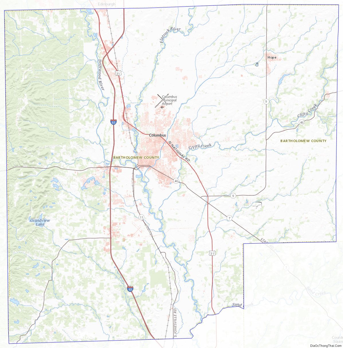
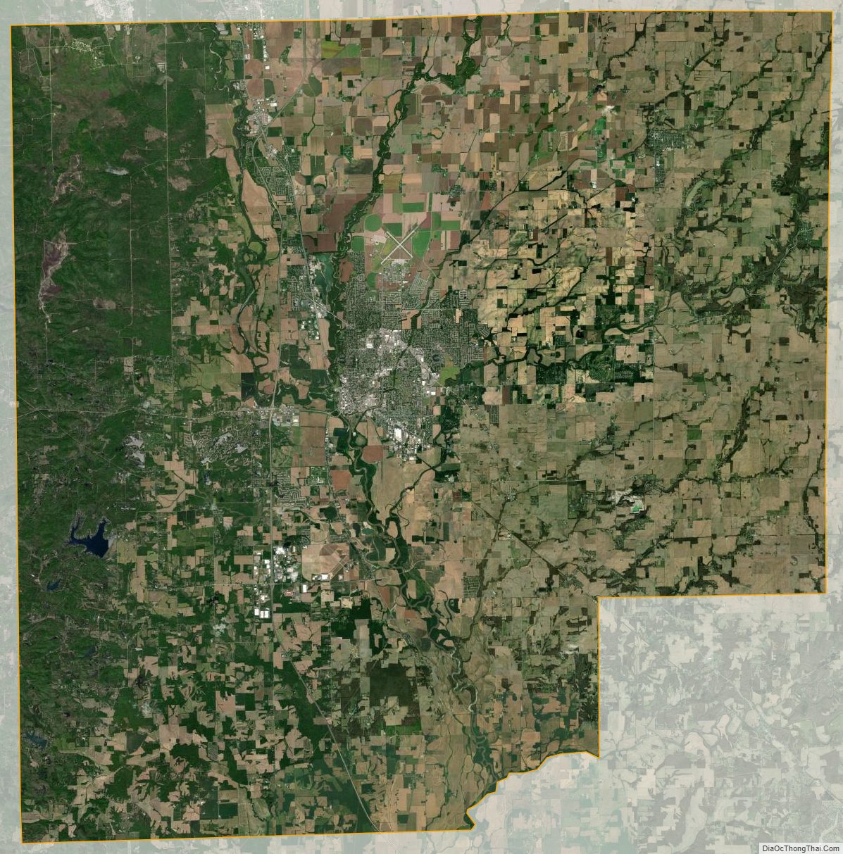
According to the 2010 census, the county has a total area of 409.52 square miles (1,060.7 km), of which 406.91 square miles (1,053.9 km) (or 99.36%) is land and 2.62 square miles (6.8 km) (or 0.64%) is water. Camp Atterbury occupies the northwestern corner of the county.
Adjacent counties
- Johnson County (northwest)
- Shelby County (northeast)
- Decatur County (east)
- Jennings County (southeast)
- Jackson County (south)
- Brown County (west)
City
Towns
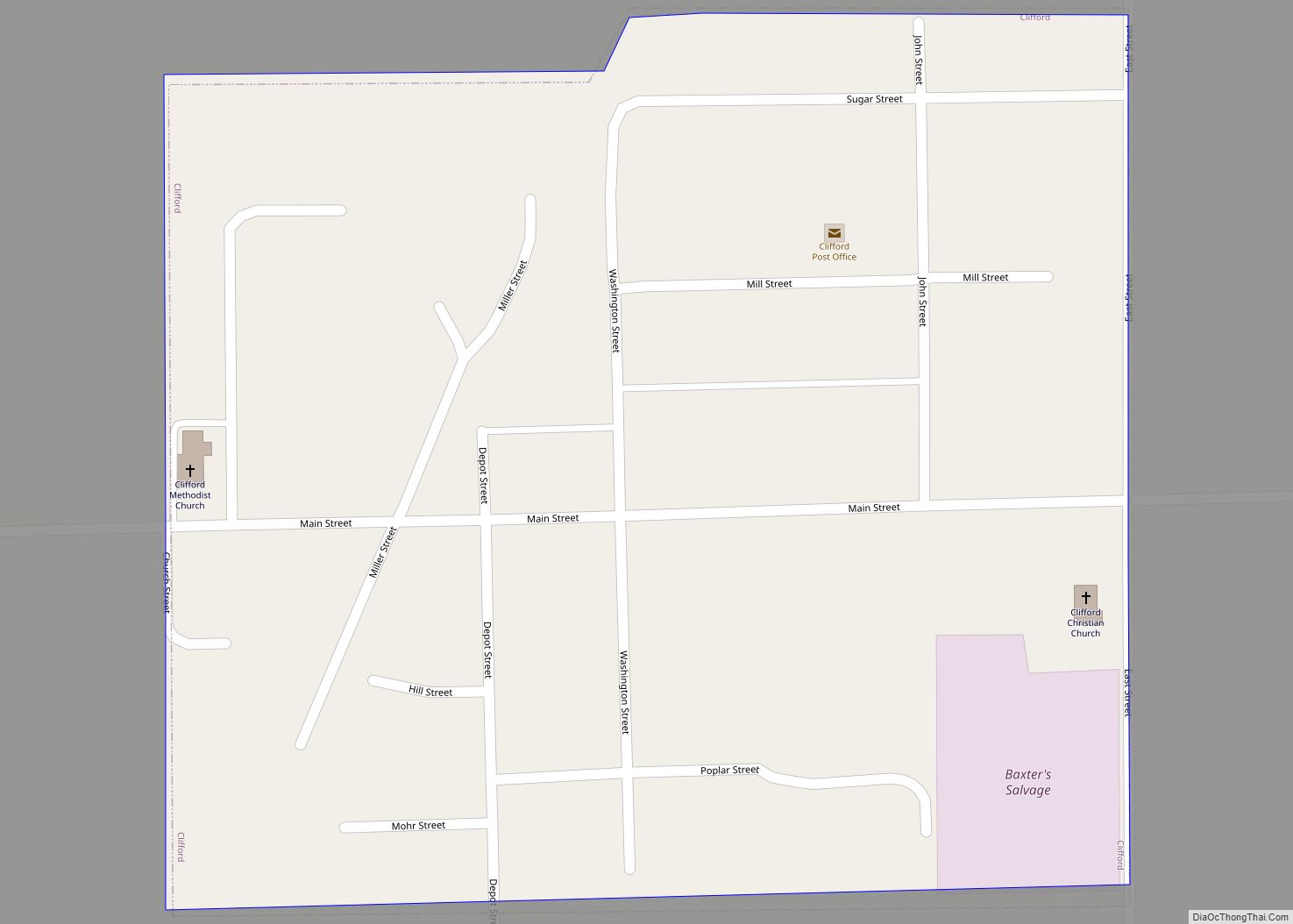
- Clifford
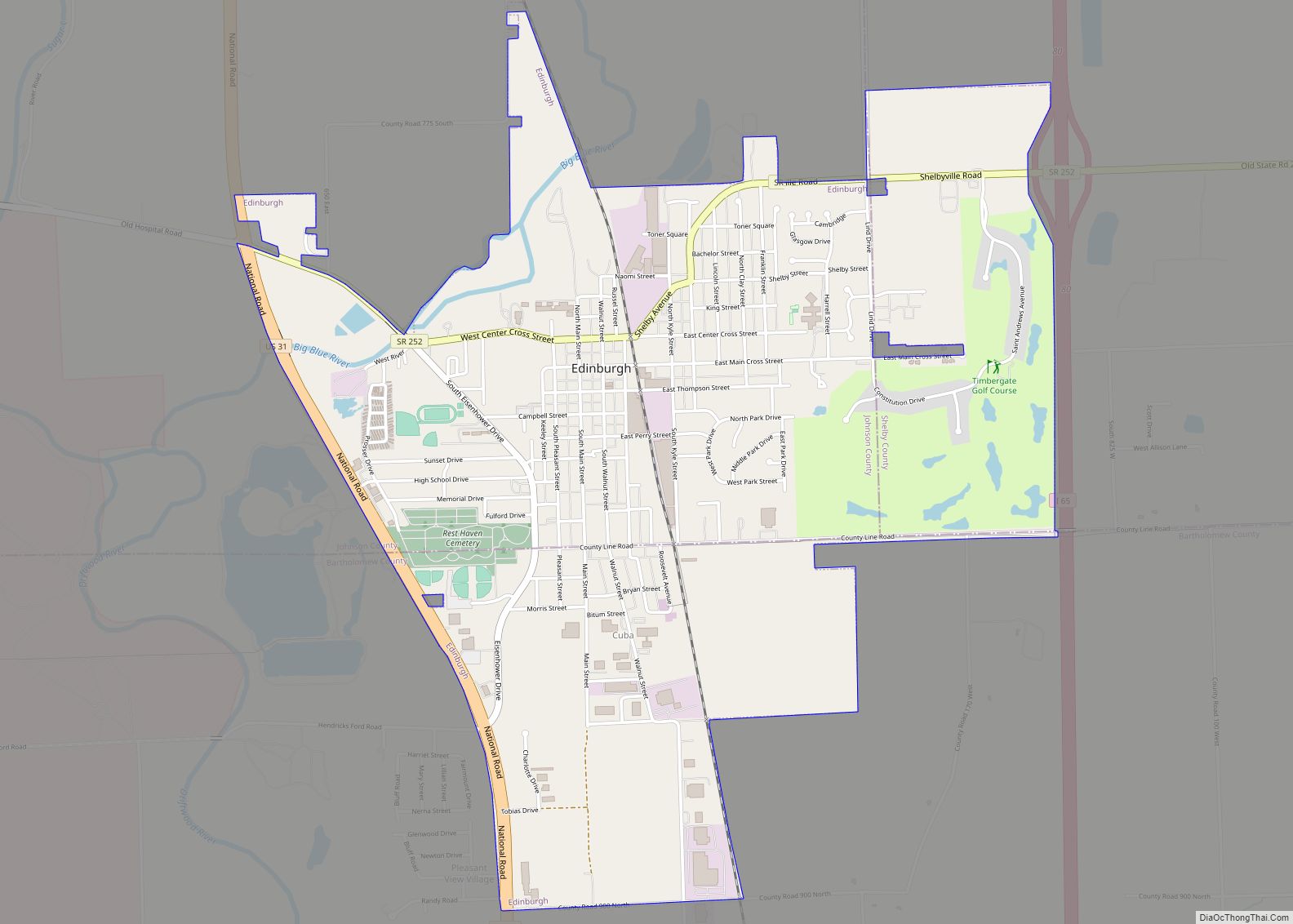
- Edinburgh
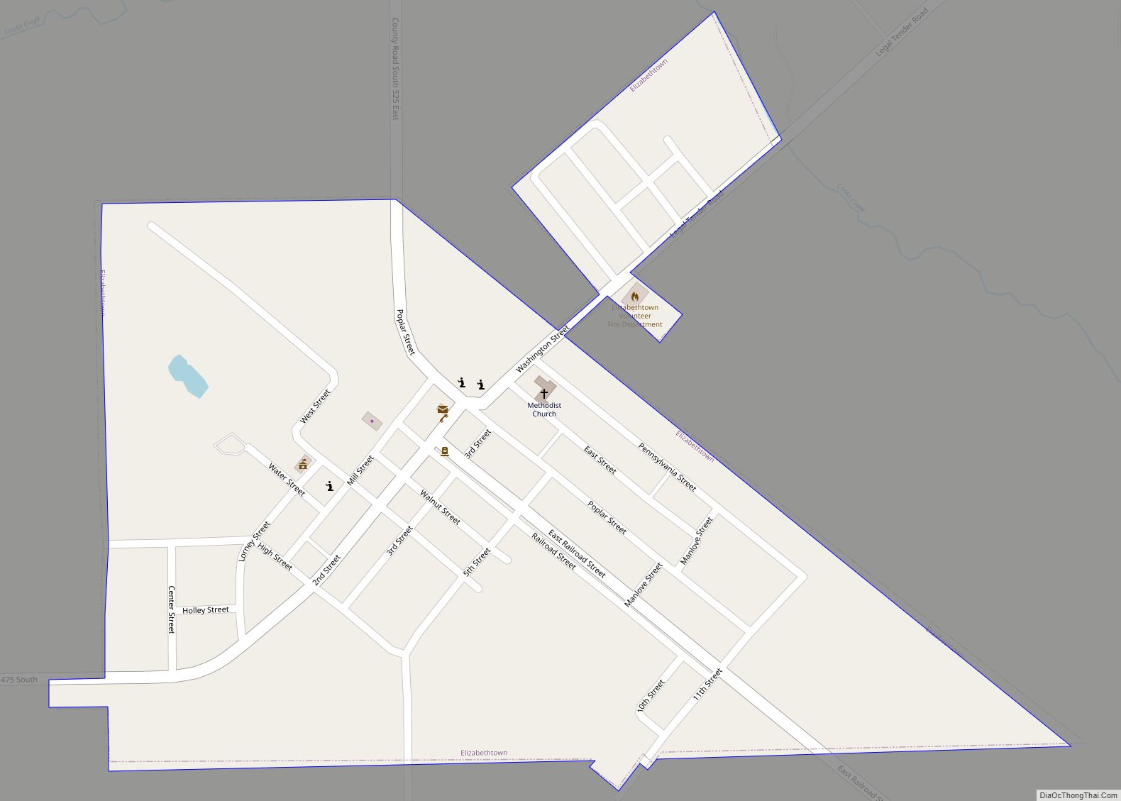
- Elizabethtown
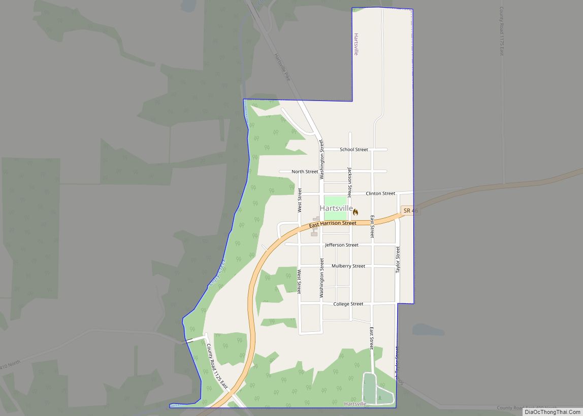
- Hartsville
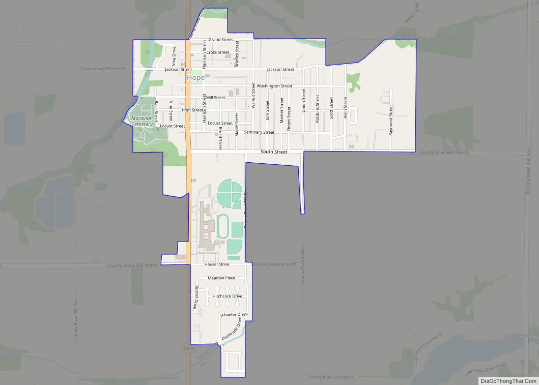
- Hope
- Jonesville
Census-designated place
Other unincorporated places
- Azalia
- Bethany
- Burnsville
- Corn Brook
- Everroad Park
- Flat Rock Park
- Garden City
- Grammer
- Grandview Lake
- Jewell Village
- Lowell
- Mount Healthy
- Newbern
- North Columbus
- North Gate
- North Ogilville
- Northcliff
- Nortonburg
- Ogilville
- Old Saint Louis
- Parkside
- Petersville
- Pleasant View Village
- Rosstown
- Rugby
- Saint Louis Crossing
- Stony Lonesome
- Walesboro
- Waymansville
- Waynesville
Extinct towns
- Kansas
Townships
- Clay
- Clifty
- Columbus
- Flat Rock
- German
- Harrison
- Haw Creek
- Jackson
- Ohio
- Rock Creek
- Sand Creek
- Wayne
Major highways
- Interstate 65
- U.S. Route 31
- State Road 7
- State Road 9
- State Road 11
- State Road 46
- State Road 58
Airport
- KBAK – Columbus Municipal Airport
Railroads
- Louisville and Indiana Railroad
Bartholomew County Topographic Map
Bartholomew County Satellite Map
Bartholomew County Outline Map