Hartsville is a town in Haw Creek and Clifty townships, Bartholomew County, Indiana, United States. The population was 362 at the 2010 census. It is part of the Columbus, Indiana metropolitan statistical area.
| Name: | Hartsville town |
|---|---|
| LSAD Code: | 43 |
| LSAD Description: | town (suffix) |
| State: | Indiana |
| County: | Bartholomew County |
| Elevation: | 761 ft (232 m) |
| Total Area: | 0.33 sq mi (0.84 km²) |
| Land Area: | 0.33 sq mi (0.84 km²) |
| Water Area: | 0.00 sq mi (0.00 km²) |
| Total Population: | 317 |
| Population Density: | 975.38/sq mi (376.99/km²) |
| ZIP code: | 47244 |
| Area code: | 812 |
| FIPS code: | 1832332 |
| GNISfeature ID: | 0435839 |
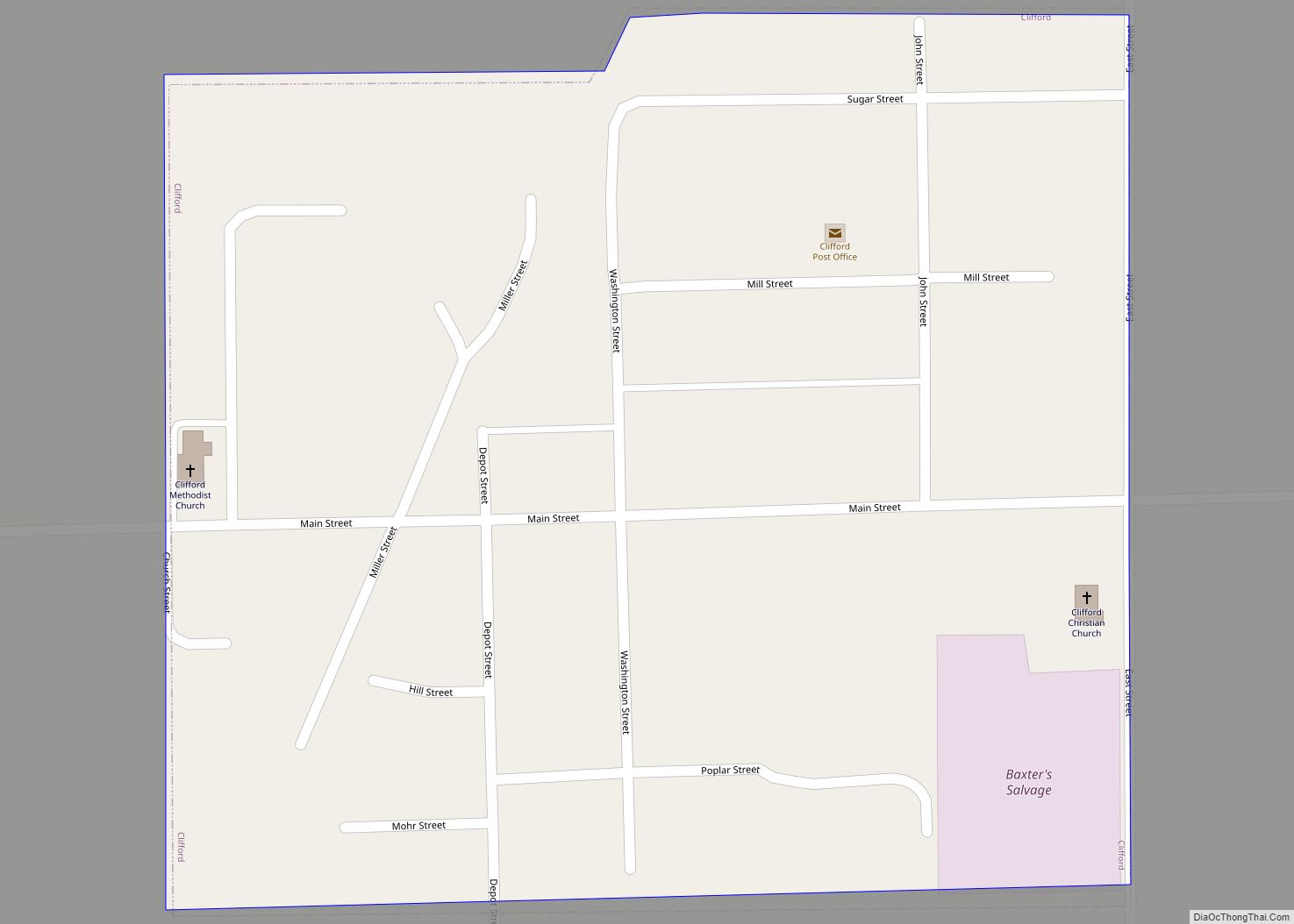
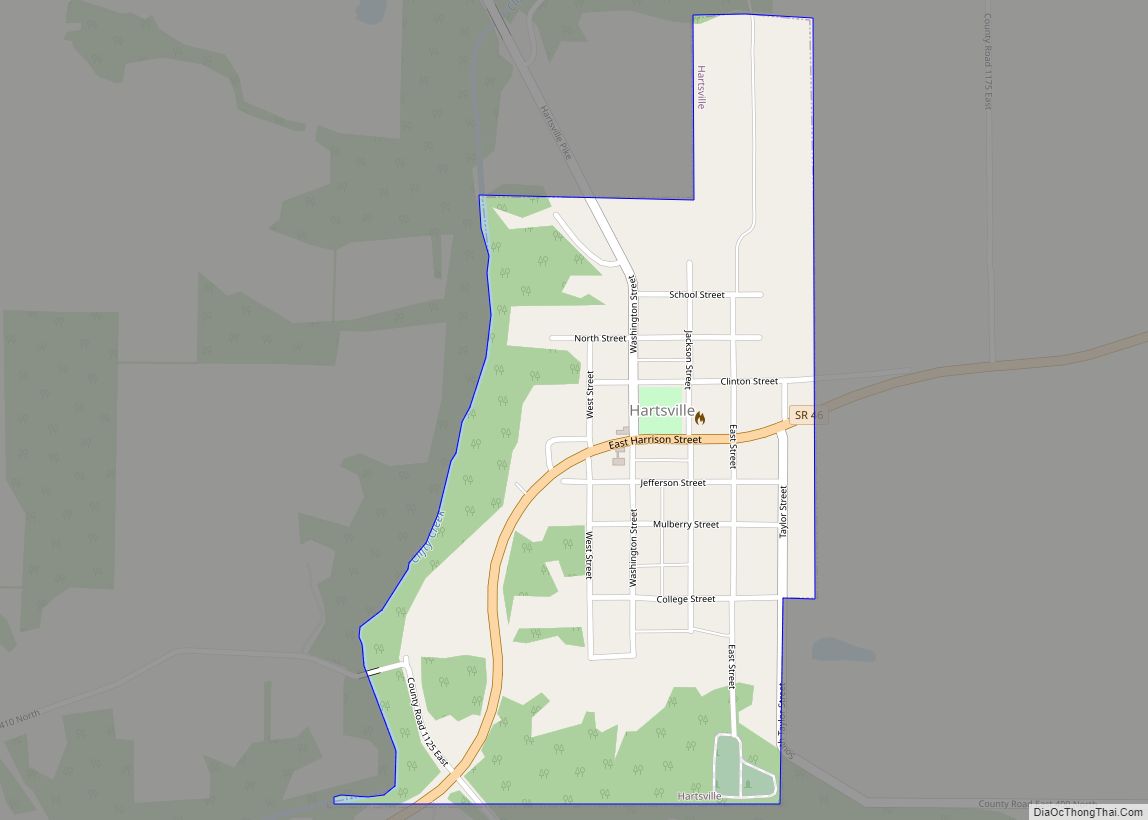
Online Interactive Map
Click on ![]() to view map in "full screen" mode.
to view map in "full screen" mode.
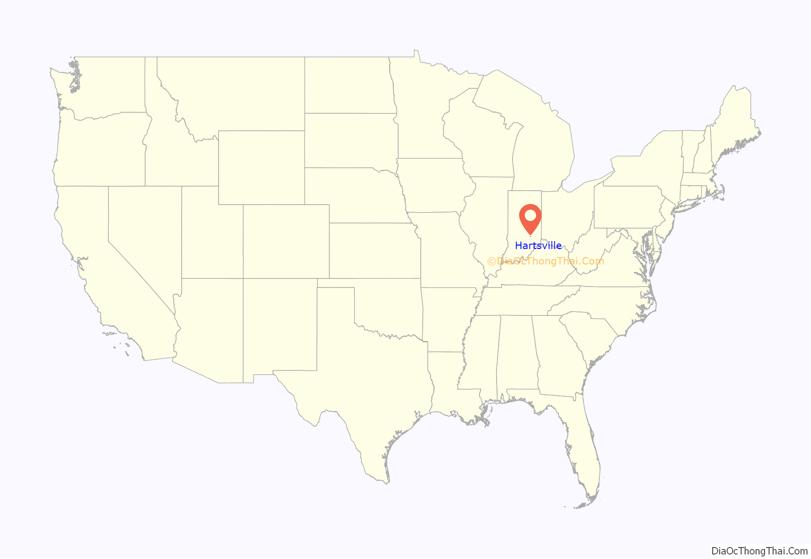
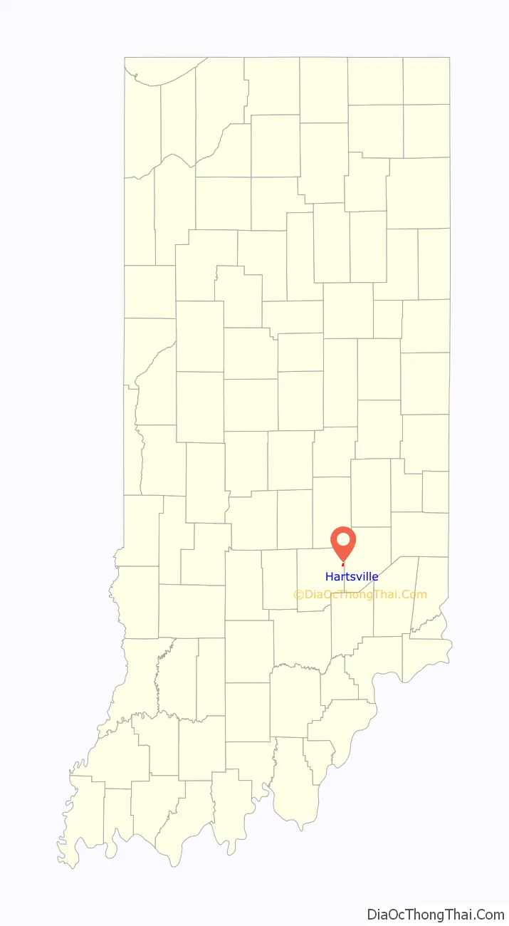
Hartsville location map. Where is Hartsville town?
History
Hartsville was founded in 1832. It was named for Gideon B. Hart, a pioneer settler. The first post office at Hartsville was established in 1838.
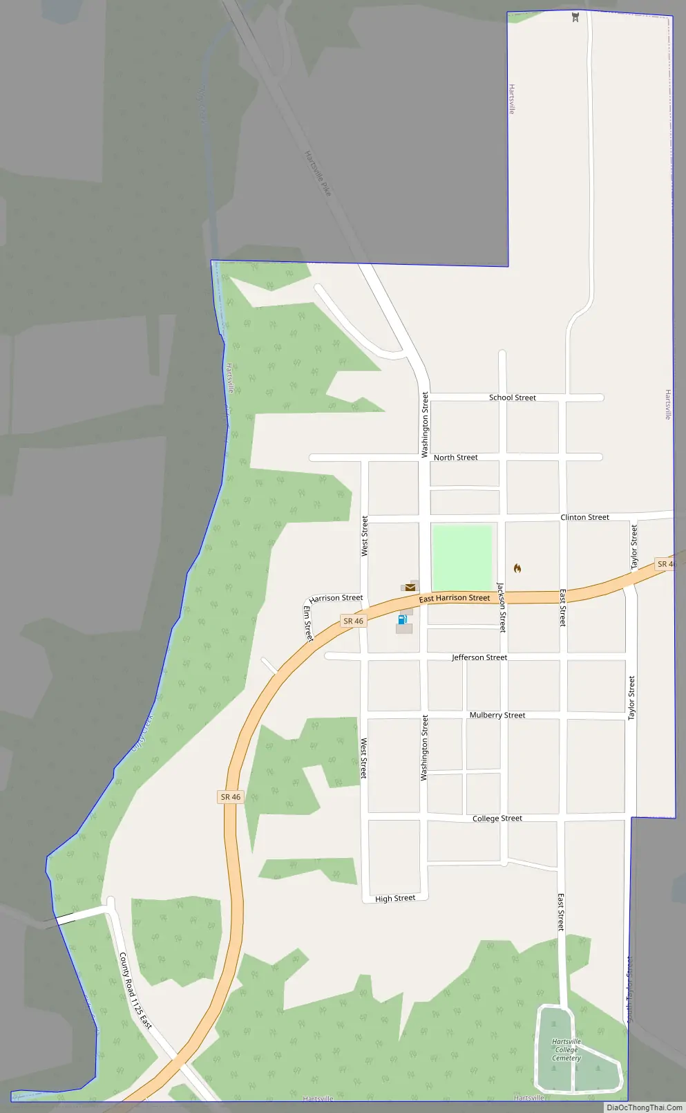
Hartsville Road Map
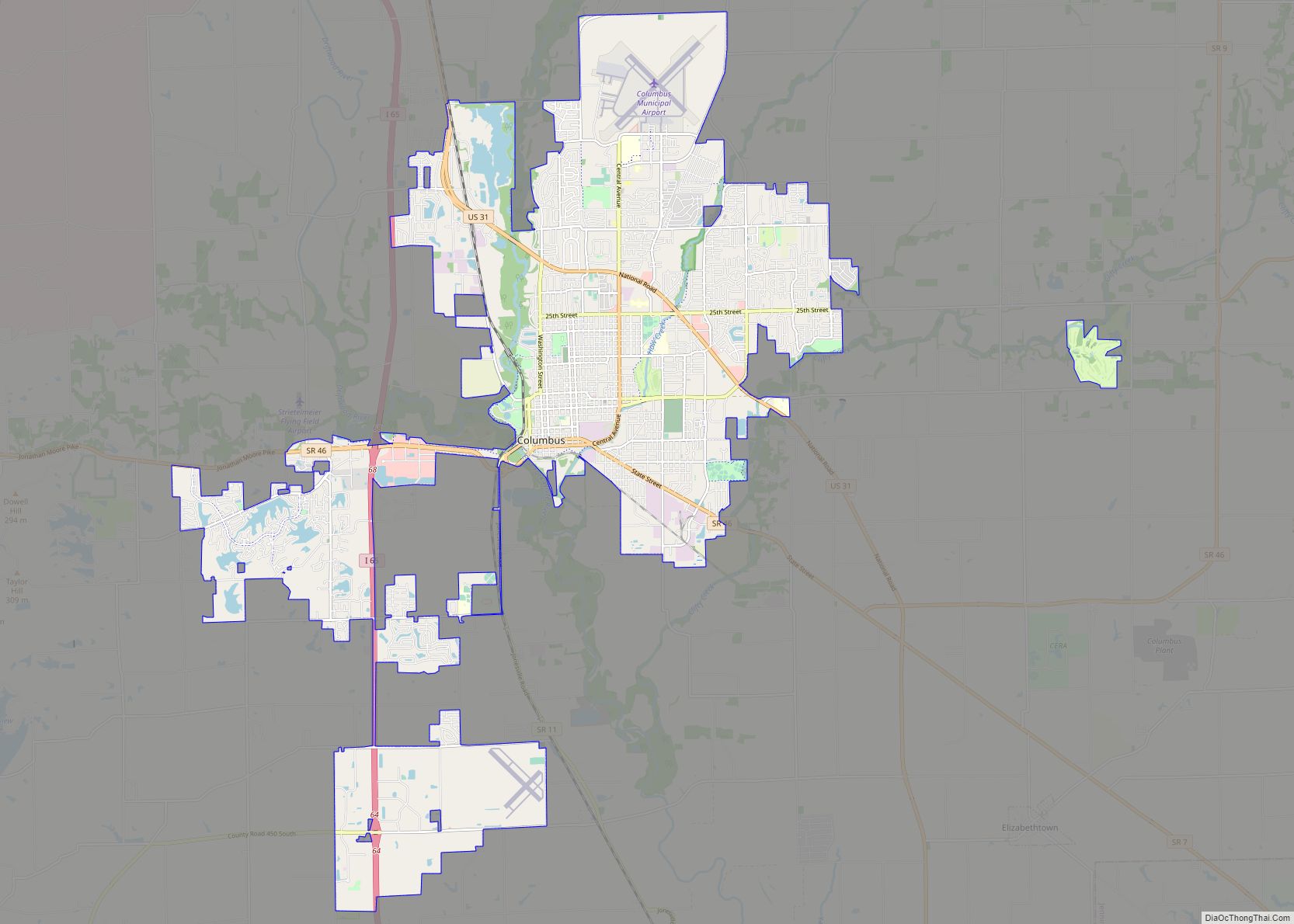
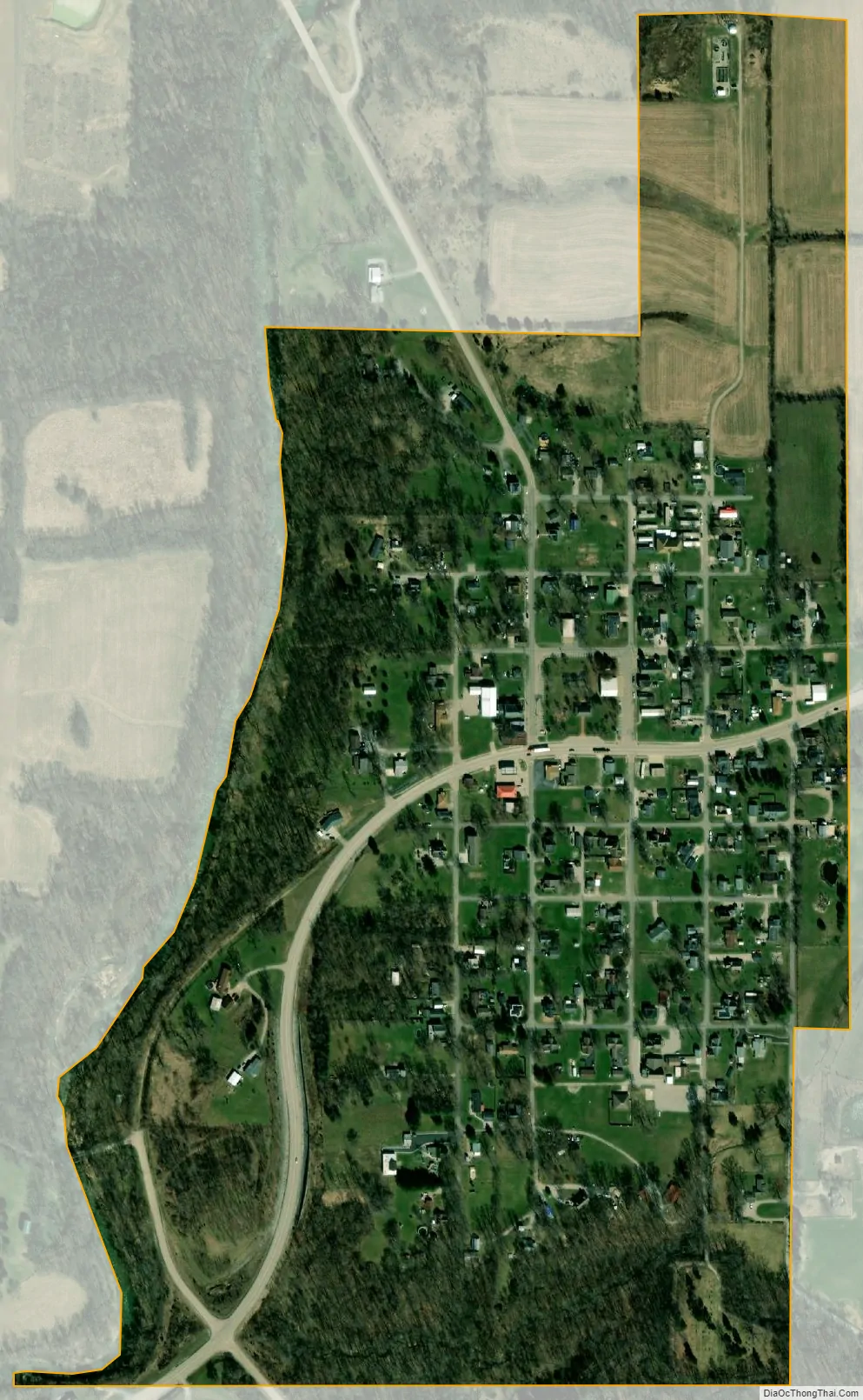
Hartsville city Satellite Map
Geography
Hartsville is located at 39°16′1″N 85°41′55″W / 39.26694°N 85.69861°W / 39.26694; -85.69861 (39.267039, -85.698689).
According to the 2010 census, Hartsville has a total area of 0.34 square miles (0.88 km), all land.
See also
Map of Indiana State and its subdivision:- Adams
- Allen
- Bartholomew
- Benton
- Blackford
- Boone
- Brown
- Carroll
- Cass
- Clark
- Clay
- Clinton
- Crawford
- Daviess
- De Kalb
- Dearborn
- Decatur
- Delaware
- Dubois
- Elkhart
- Fayette
- Floyd
- Fountain
- Franklin
- Fulton
- Gibson
- Grant
- Greene
- Hamilton
- Hancock
- Harrison
- Hendricks
- Henry
- Howard
- Huntington
- Jackson
- Jasper
- Jay
- Jefferson
- Jennings
- Johnson
- Knox
- Kosciusko
- LaGrange
- Lake
- Lake Michigan
- LaPorte
- Lawrence
- Madison
- Marion
- Marshall
- Martin
- Miami
- Monroe
- Montgomery
- Morgan
- Newton
- Noble
- Ohio
- Orange
- Owen
- Parke
- Perry
- Pike
- Porter
- Posey
- Pulaski
- Putnam
- Randolph
- Ripley
- Rush
- Saint Joseph
- Scott
- Shelby
- Spencer
- Starke
- Steuben
- Sullivan
- Switzerland
- Tippecanoe
- Tipton
- Union
- Vanderburgh
- Vermillion
- Vigo
- Wabash
- Warren
- Warrick
- Washington
- Wayne
- Wells
- White
- Whitley
- Alabama
- Alaska
- Arizona
- Arkansas
- California
- Colorado
- Connecticut
- Delaware
- District of Columbia
- Florida
- Georgia
- Hawaii
- Idaho
- Illinois
- Indiana
- Iowa
- Kansas
- Kentucky
- Louisiana
- Maine
- Maryland
- Massachusetts
- Michigan
- Minnesota
- Mississippi
- Missouri
- Montana
- Nebraska
- Nevada
- New Hampshire
- New Jersey
- New Mexico
- New York
- North Carolina
- North Dakota
- Ohio
- Oklahoma
- Oregon
- Pennsylvania
- Rhode Island
- South Carolina
- South Dakota
- Tennessee
- Texas
- Utah
- Vermont
- Virginia
- Washington
- West Virginia
- Wisconsin
- Wyoming