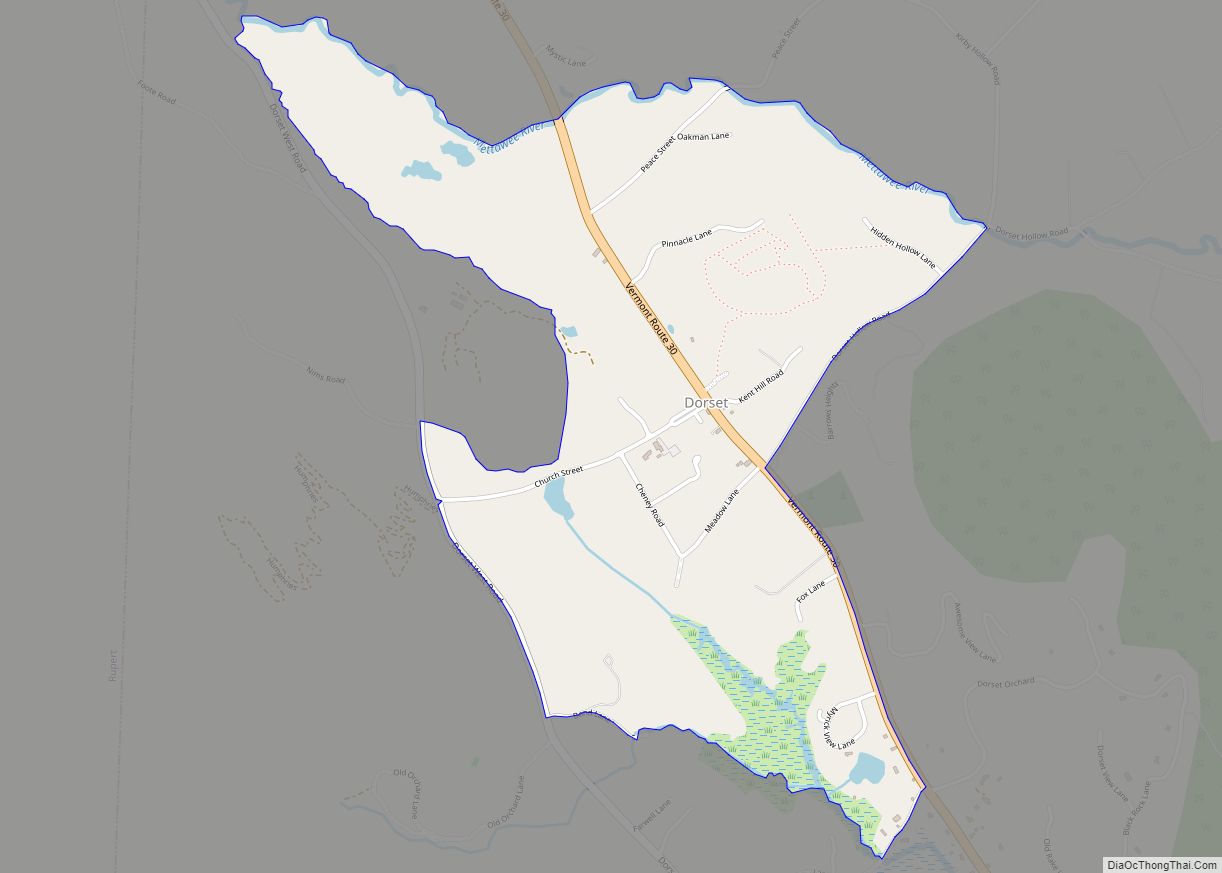
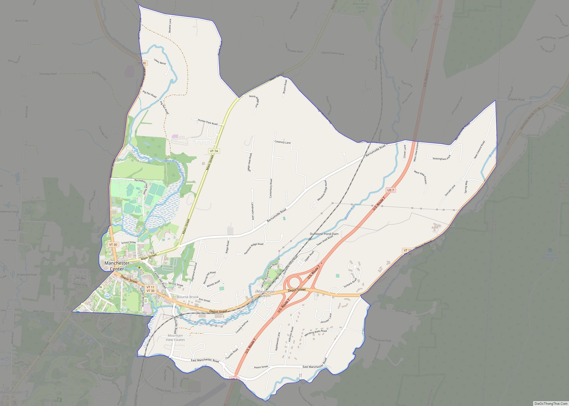
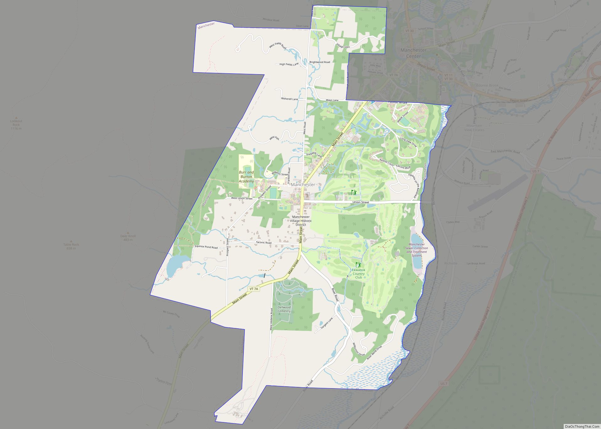
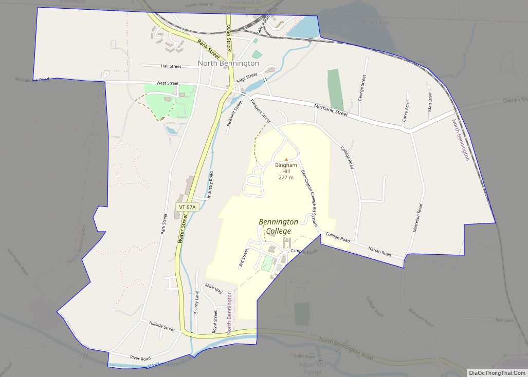
Bennington County is a county in the U.S. state of Vermont. As of the 2020 census, the population was 37,347. The shire towns (county seats) are jointly Bennington (“The Southshire”) and Manchester (“The Northshire”), and the largest municipality is Bennington. The county was created in 1778.
| Name: | Bennington County |
|---|---|
| FIPS code: | 50-003 |
| State: | Vermont |
| Founded: | 1778 |
| Named for: | Benning Wentworth |
| Largest town: | Bennington |
| Total Area: | 678 sq mi (1,760 km²) |
| Land Area: | 675 sq mi (1,750 km²) |
| Total Population: | 37,347 |
| Population Density: | 55/sq mi (21/km²) |
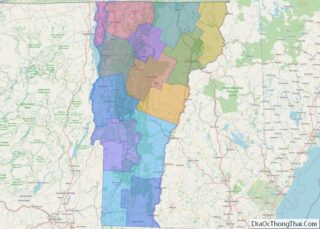
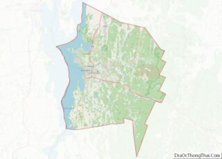
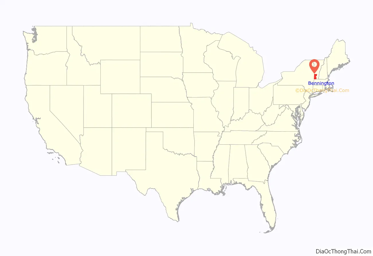
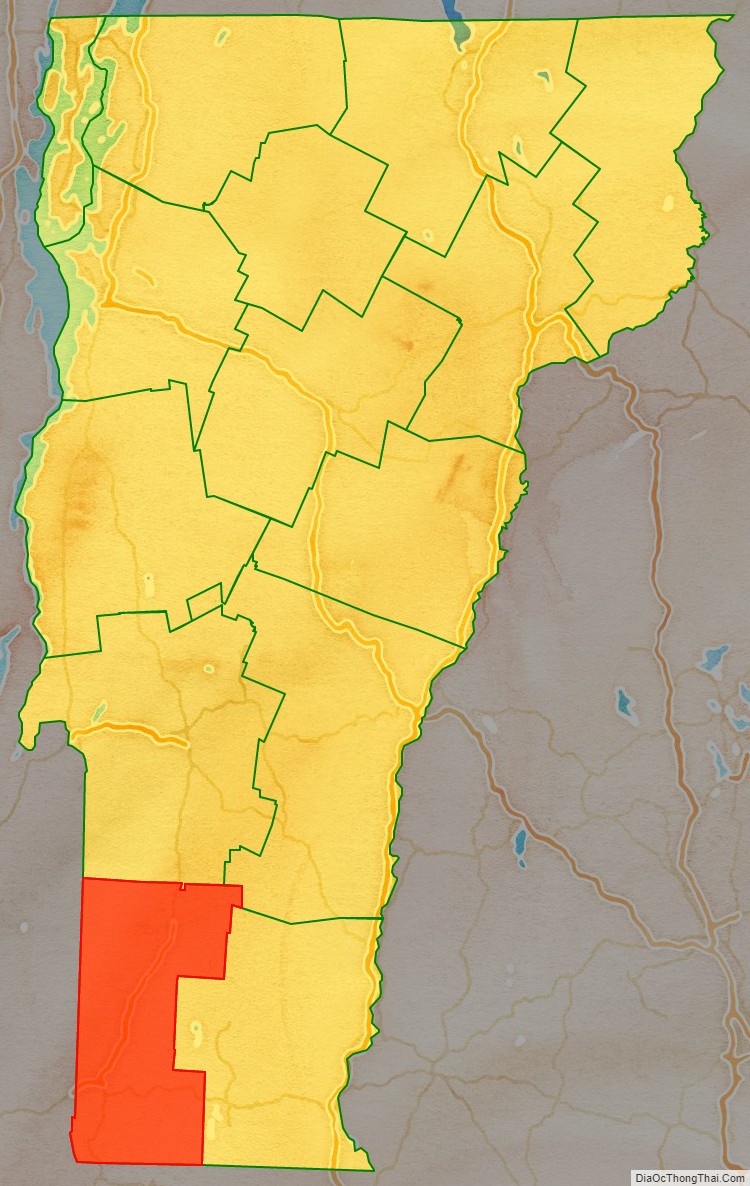
Bennington County location map. Where is Bennington County?
History
Bennington is the oldest county in Vermont still in existence, created by the first general assembly on March 17, 1778. Vermont was organized into two original counties, with Bennington in the west and Unity (a few days later renamed Cumberland) in the east. On February 16, 1781 Rutland County was created from Bennington County. On April 13, 1781, Bennington gained the gore east of the town of Bromley (now Peru) from Windham and Windsor Counties.
From 26 June 1781 until 23 February 1782, Vermont attempted to annex part of New York east of the Hudson River (the so-called West Union); inhabitants in the area favored Vermont’s township form of government, while Vermont hoped to gain bargaining power through expansion. New York did not lose control of the area. For almost seven months Bennington County overlapped part of Albany County, New York.
On February 27, 1787, Windham County gained the town of Stratton from Bennington County, On 25 October 1805 Rutland County gained from the county when the town of Mount Tabor gained from the town of Peru. The county gained from Rutland County when the town of Dorset gained a small area from the town of Mount Tabor on November 17, 1825.
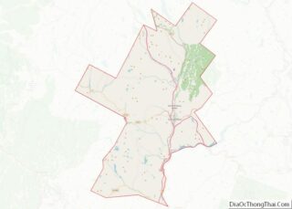
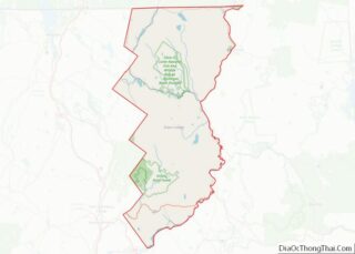
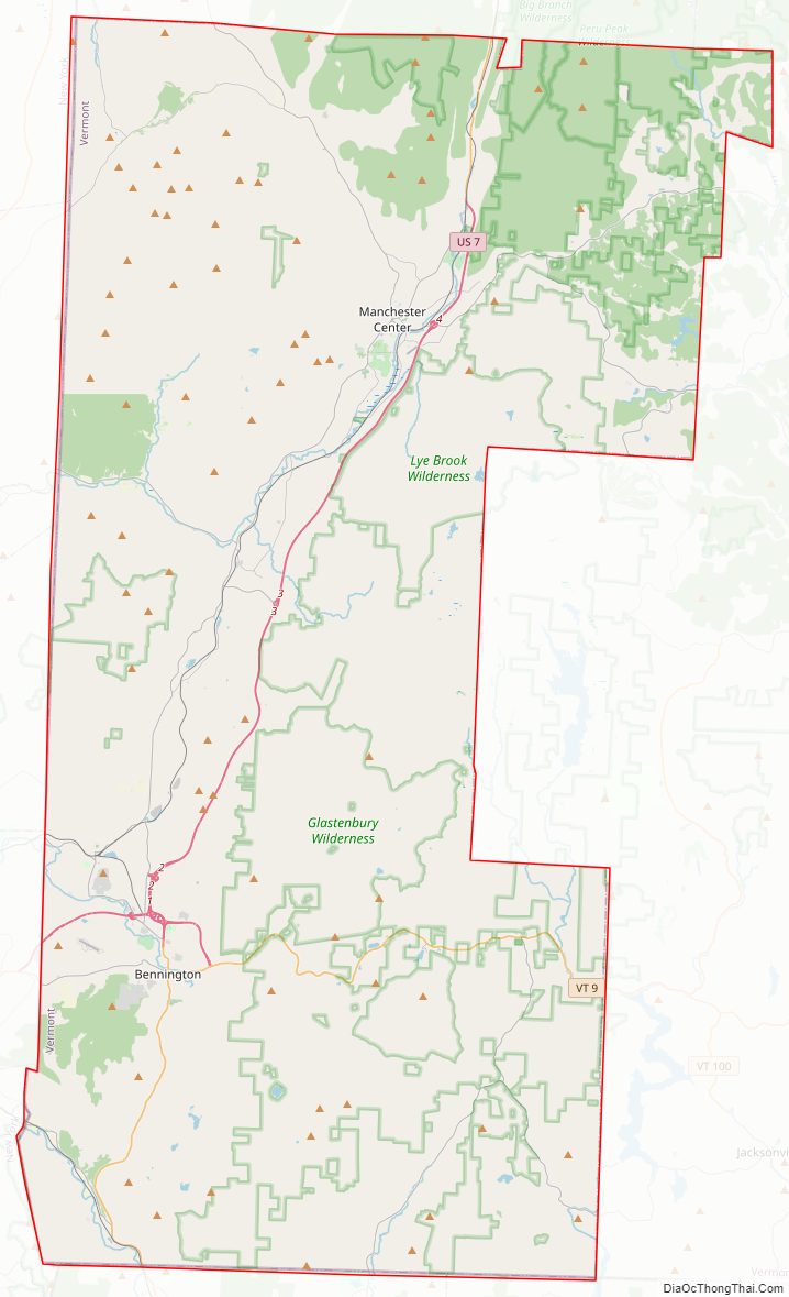
Bennington County Road Map
Geography
According to the U.S. Census Bureau, the county has a total area of 678 square miles (1,760 km), of which 675 square miles (1,750 km) is land and 2.7 square miles (7.0 km) (0.4%) is water.
Adjacent counties
- Rutland County – north
- Windsor County – northeast
- Windham County – east
- Franklin County, Massachusetts – southeast
- Berkshire County, Massachusetts – south
- Rensselaer County, New York – southwest
- Washington County, New York – northwest
National protected areas
- Green Mountain National Forest (part)
- White Rocks National Recreation Area (part)
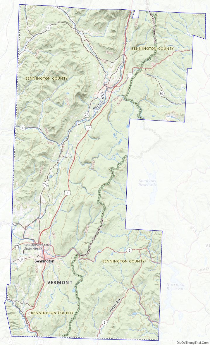
Bennington County Topographic Map
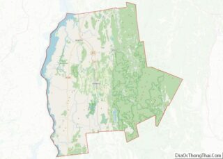
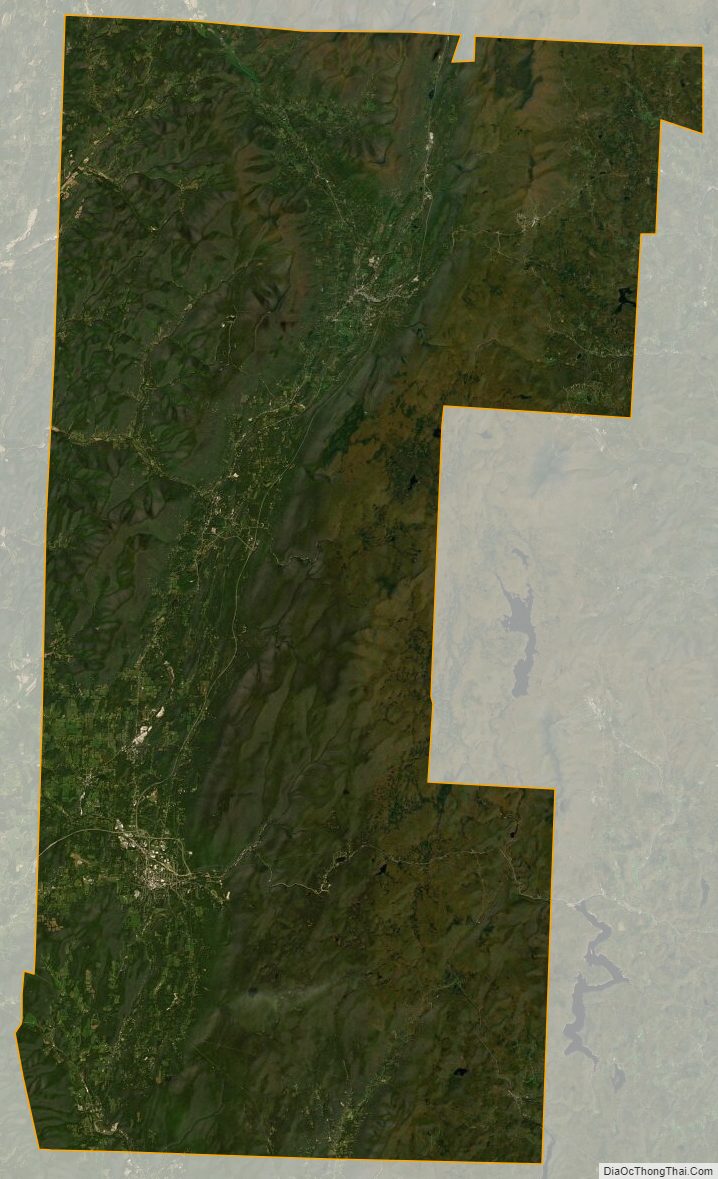
Bennington County Satellite Map
Bennington County Outline Map