Benson County is a county in the U.S. state of North Dakota. As of the 2020 census, the population was 5,964. Its county seat is Minnewaukan. The county was created on March 9, 1883 by the Dakota Territory legislature, and was named for Bertil W. Benson, a Dakota Territory legislator at the time. The county government was organized on June 4, 1884, and its boundary lines were altered by two legislative actions in 1885.
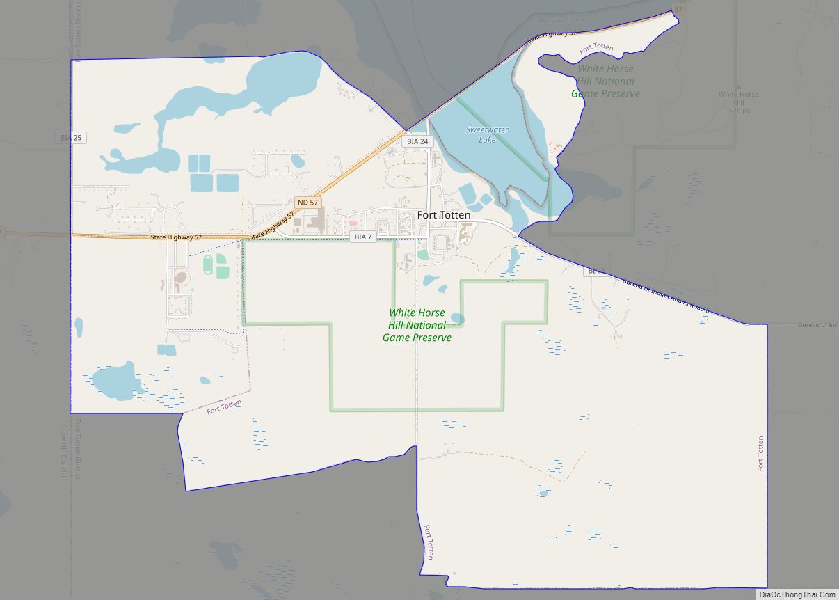
White Horse Hill National Game Preserve and much of the Spirit Lake Indian Reservation are located within the county.
| Name: | Benson County |
|---|---|
| FIPS code: | 38-005 |
| State: | North Dakota |
| Founded: | 1883 |
| Named for: | Bertil W. Benson |
| Seat: | Minnewaukan |
| Total Area: | 1,439 sq mi (3,730 km²) |
| Land Area: | 1,389 sq mi (3,600 km²) |
| Total Population: | 5,964 |
| Population Density: | 4.1/sq mi (1.6/km²) |
| Time zone: | UTC−6 (Central) |
| Summer Time Zone (DST): | UTC−5 (CDT) |
| Website: | www.bensoncountynd.com |
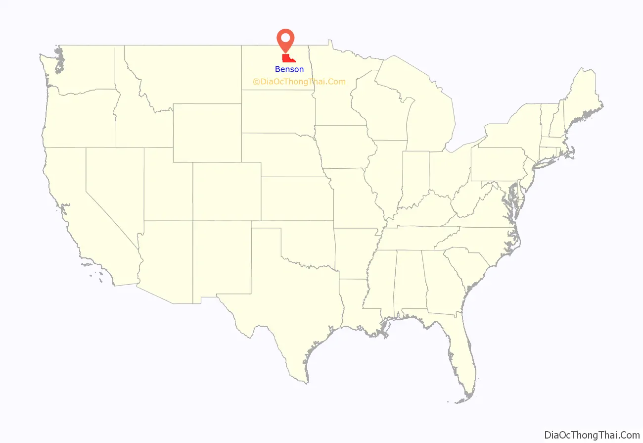
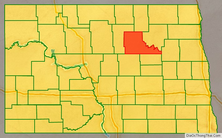
Benson County location map. Where is Benson County?
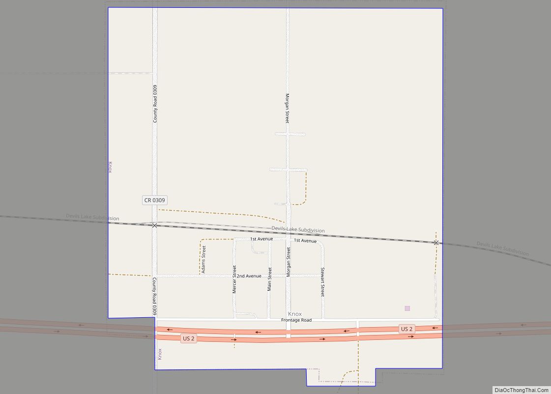
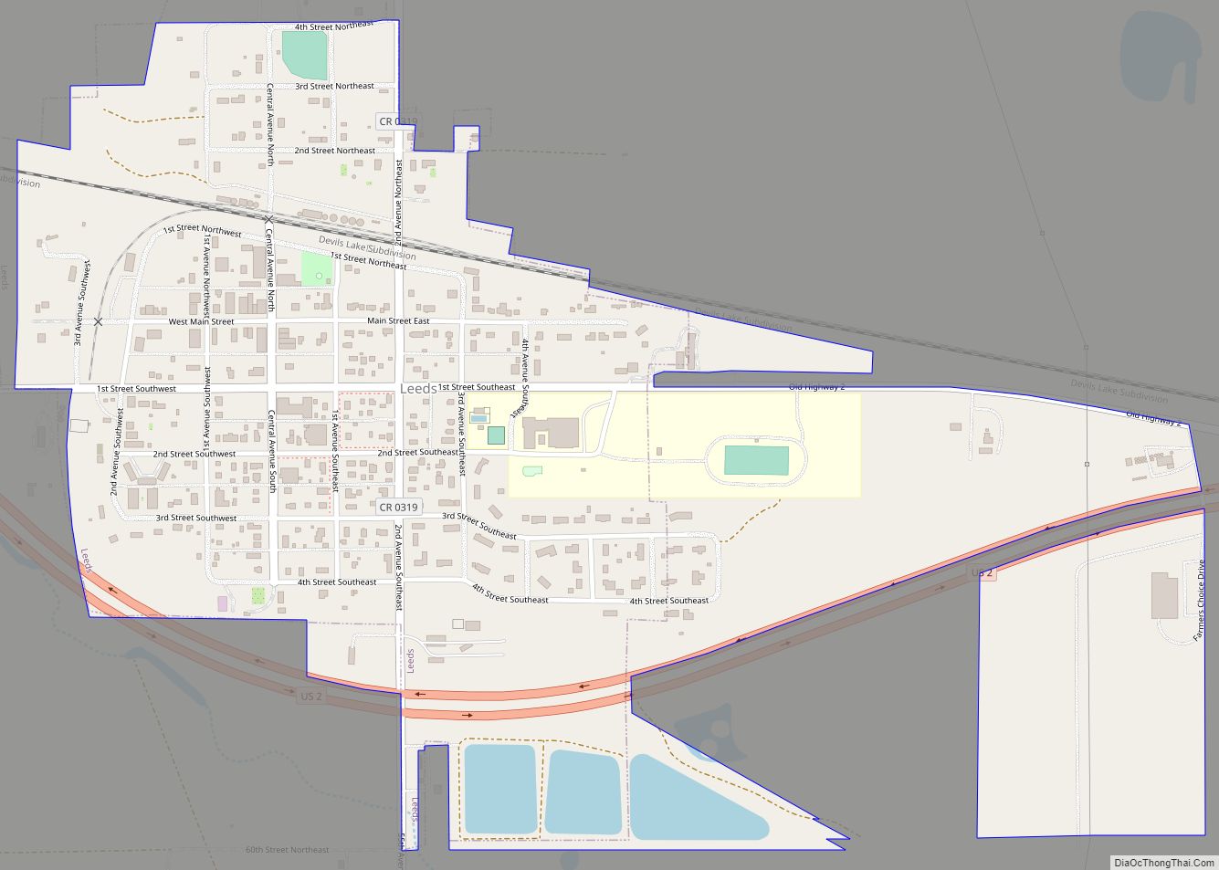
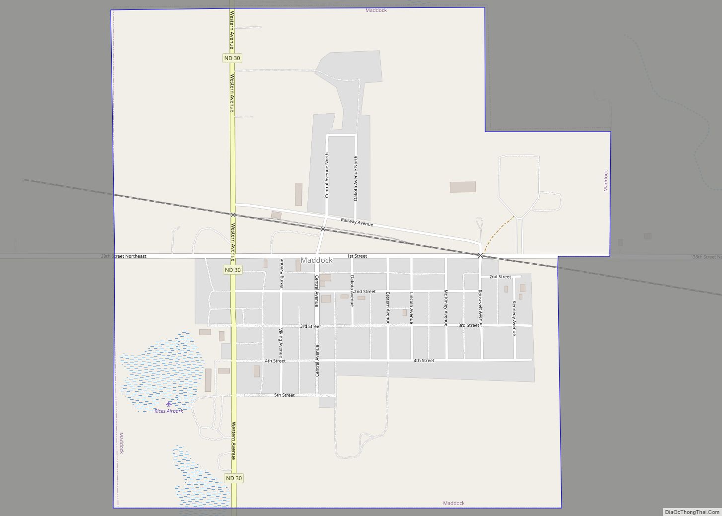
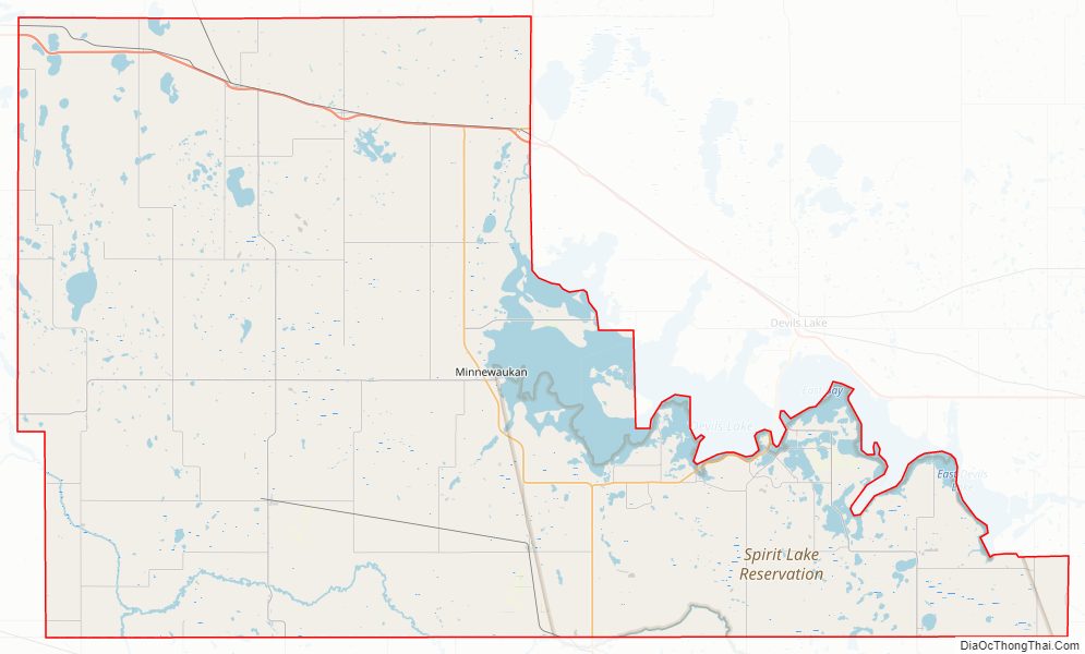
Benson County Road Map
Geography
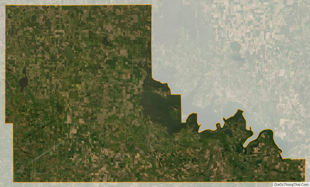
Much of the east boundary line of Benson County is delineated by the shore of Devils Lake, a closed-capture lake which would spill into the Sheyenne River in an overflow condition. The North Fork Sheyenne River flows southeasterly through the lower SW portion of the county.
The terrain of Benson County consists of rolling hills dotted with lakes, ponds and drainages. The terrain slopes to the east, and its highest point is on the lower portion of its west boundary line, at 1,624′ (495m) ASL. The county has a total area of 1,439 square miles (3,730 km), of which 1,389 square miles (3,600 km) is land and 51 square miles (130 km) (3.5%) is water.
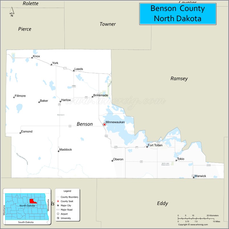
Adjacent counties
- Towner County – north
- Ramsey County – northeast
- Nelson County – east
- Eddy County – southeast
- Wells County – southwest
- Pierce County – west
Major highways
- U.S. Highway 2
- U.S. Highway 281
- North Dakota Highway 19
- North Dakota Highway 20
- North Dakota Highway 57
Protected areas
- Buffalo Lake National Wildlife Refuge (part)
- Grahams Island State Park (part)
- Pleasant Lake National Wildlife Refuge
- Silver Lake National Wildlife Refuge (part)
- White Horse Hill National Game Preserve
- Volk National Wildlife Refuge
- Wood Lake National Wildlife Refuge
- Wurgler National Wildlife Refuge
Lakes
- Broken Bone Lake
- Cranberry Lake
- Free Peoples Lake
- Horseshoe Lake
- Lake Murie
- Lake Yri
- Long Lake
- Sand Lake
- Shin Bone Lake
- Spring Lake
- Stink Lake
- Stony Lake
- Wood Lake
Benson County Topographic Map
Benson County Satellite Map
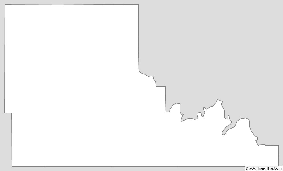
Benson County Outline Map