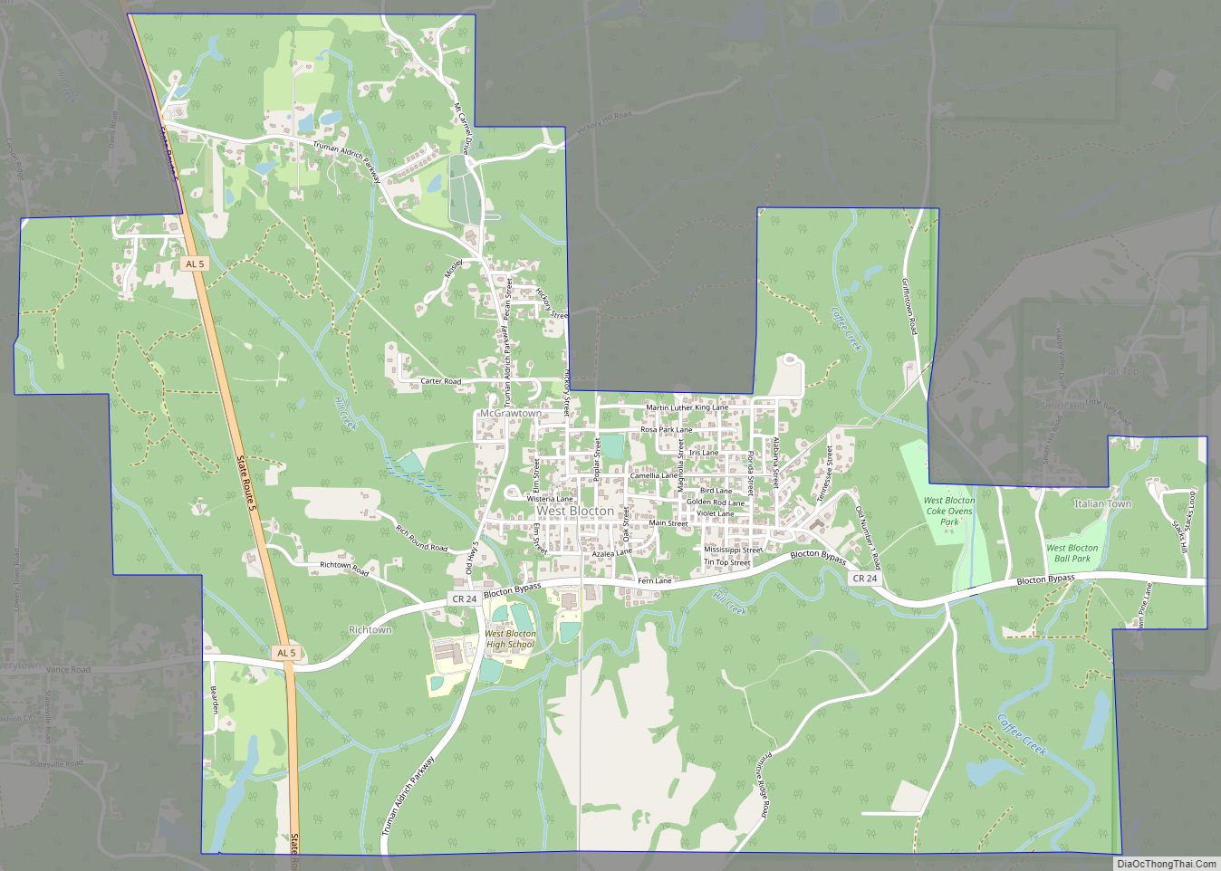
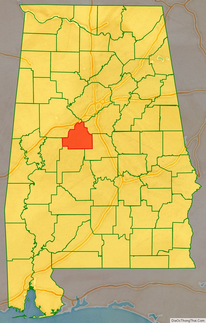
Bibb County is a county in the central portion of the U.S. state of Alabama. The county is included in the ARC’s definition of Appalachia. As of the 24th decennial 2020 census, its population was 22,293. The county seat is Centreville. The county is named in honor of William W. Bibb (1781–1820), the Governor of Alabama Territory (1817–1819) and the first Governor of Alabama (1819–1820, when he died). He is also the namesake for Bibb County, Georgia, where he began his political career. It is a “prohibition” or dry county; however, a few towns have become “wet” by allowing the sale of alcoholic beverages: Woodstock (December 2017), West Blocton (August 2012), Centreville (June 2010), and Brent (May 2010). The Bibb County Courthouse is located in the county seat of Centreville.
| Name: | Bibb County |
|---|---|
| FIPS code: | 01-007 |
| State: | Alabama |
| Founded: | February 7, 1818 |
| Named for: | William W. Bibb |
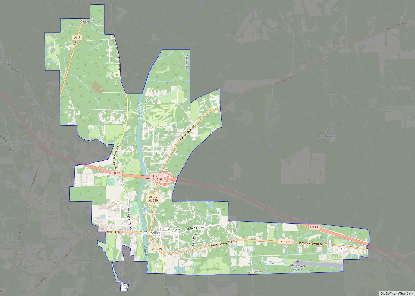
| Seat: | Centreville |
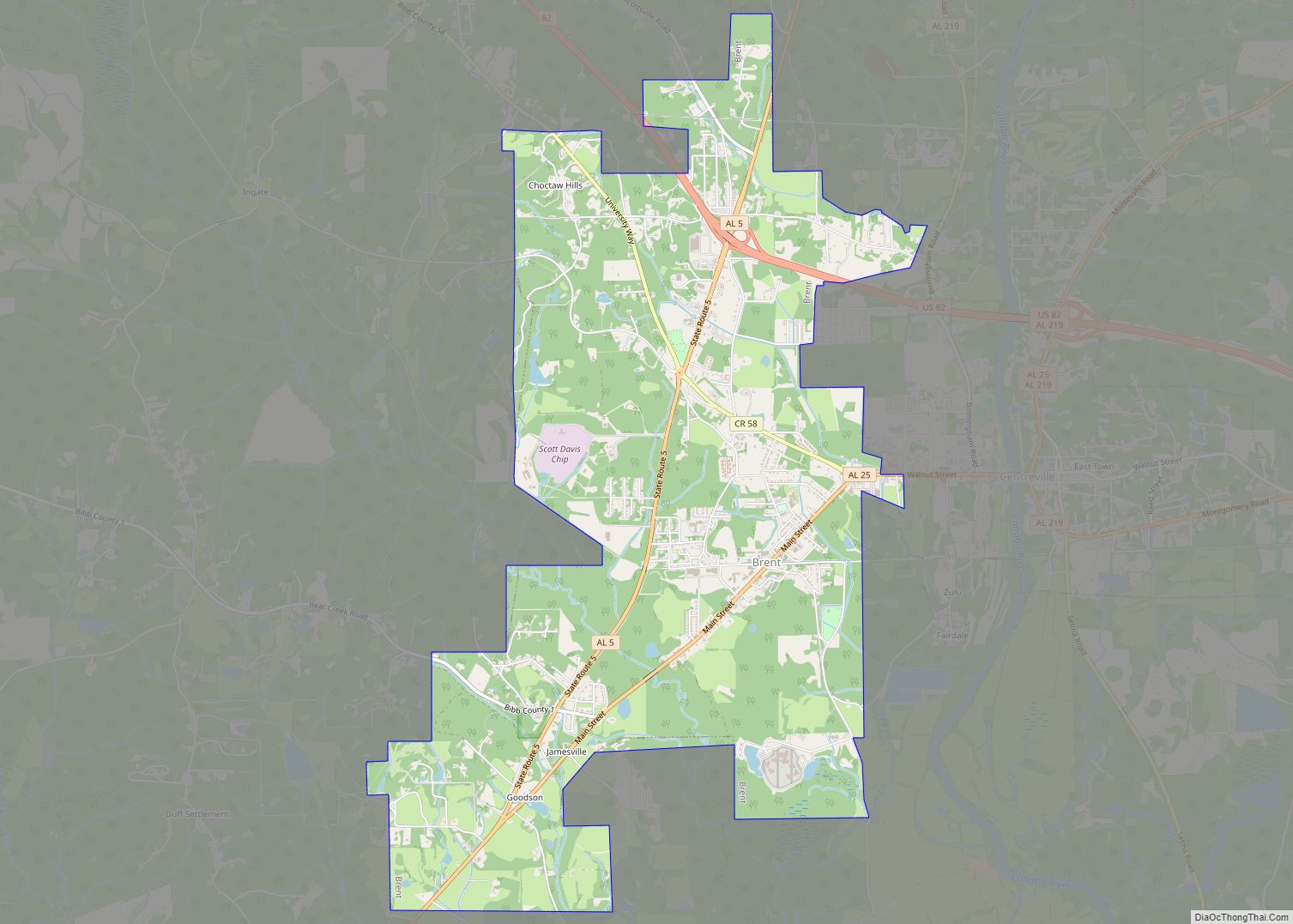
| Largest city: | Brent |
| Total Area: | 626 sq mi (1,620 km²) |
| Land Area: | 623 sq mi (1,610 km²) |
| Total Population: | 22,293 |
| Population Density: | 36/sq mi (14/km²) |
| Time zone: | UTC−6 (Central) |
| Summer Time Zone (DST): | UTC−5 (CDT) |
| Website: | www.bibbal.com |
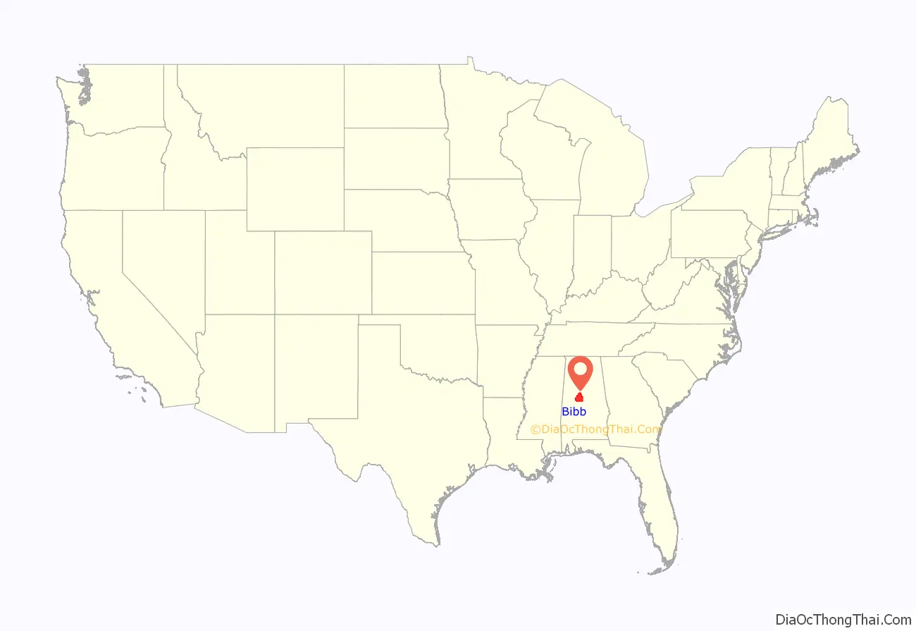
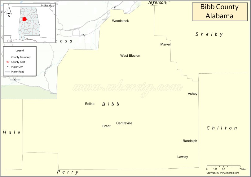
Bibb County location map. Where is Bibb County?
History
Cahawba County was established (“erected”) on February 7, 1818, named for the Cahawba River (now more commonly known as Cahaba River). This name came from the Choctaw language word meaning “water above.” On December 4, 1820, it was renamed as Bibb County.
In the wake of the American Civil War, the state legislature passed laws to create a new constitution that raised barriers to voter registration and effectively excluded Freedmen from the political process. Many residents resisted the objectives of Union occupation both during and after Reconstruction because they wanted to restore the Antebellum social and political norms. During this time of transition, Bibb, Dallas, and Pickens counties held the third-highest number of lynchings in the state. On June 18, 1919, Jim McMillan was lynched by a White mob. On November 7, 2000, Bibb County voted against a proposed amendment to Alabama’s constitution to abolish the prohibition of interracial marriages.
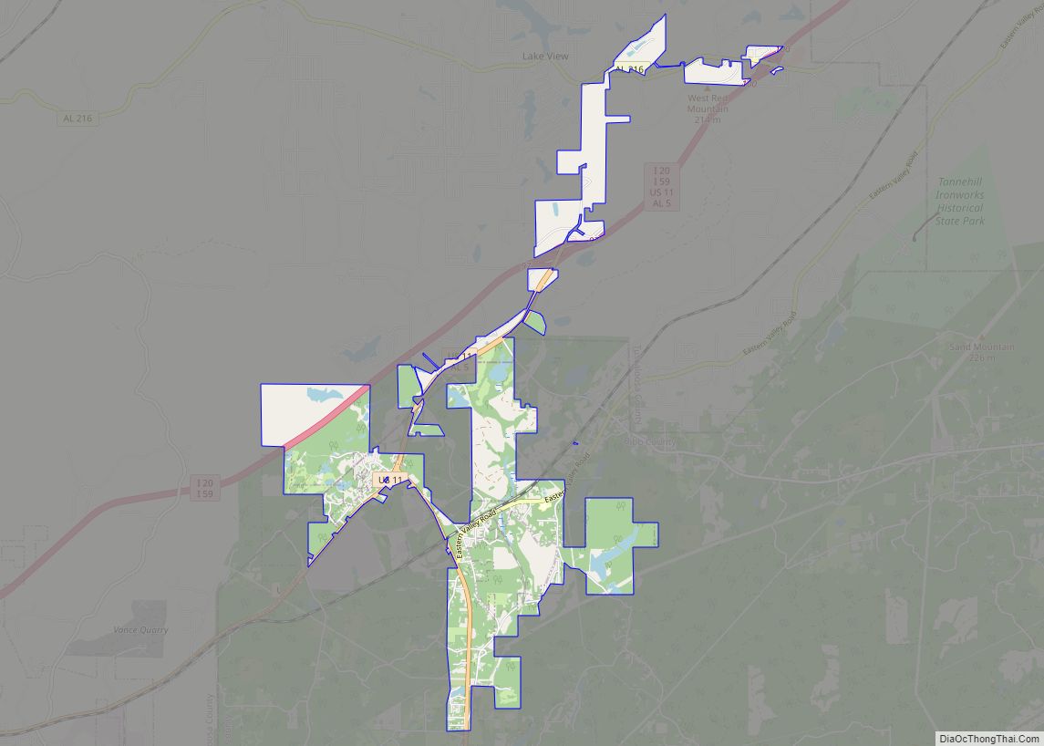
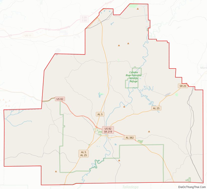
Bibb County Road Map
Geography
According to the United States Census Bureau, the county has a total area of 626 square miles (1,620 km), of which 623 square miles (1,610 km) is land and 3.6 square miles (9.3 km) (0.6%) is water.
Adjacent counties
- Jefferson County – north
- Shelby County – northeast
- Chilton County – southeast
- Perry County – southwest
- Hale County – southwest
- Tuscaloosa County – northwest
National protected areas
- Cahaba River National Wildlife Refuge
- Talladega National Forest (part)
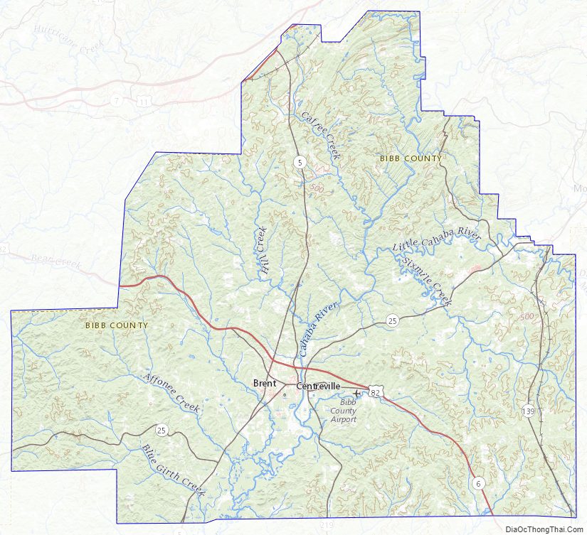
Bibb County Topographic Map
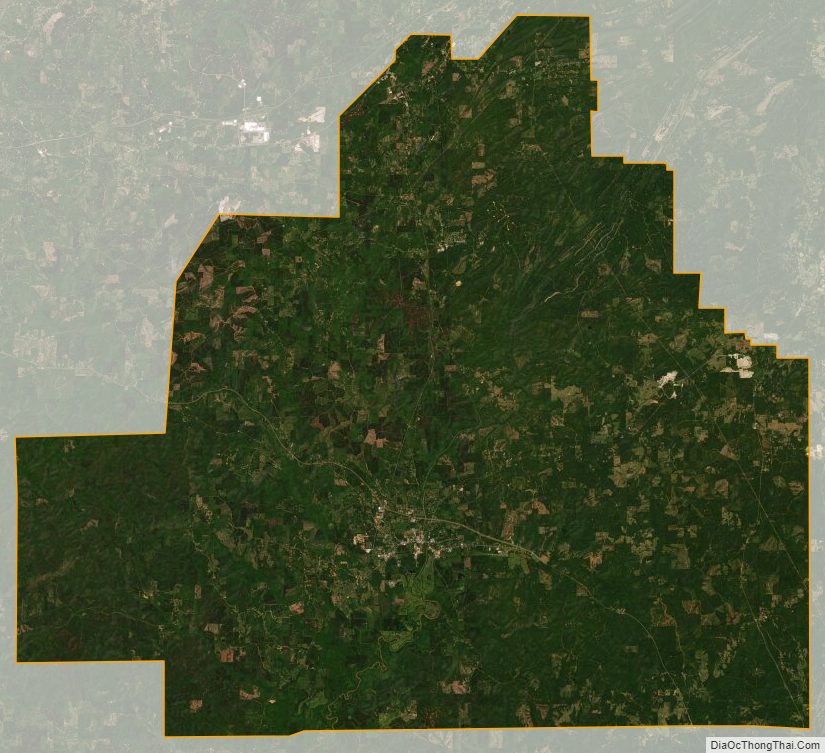
Bibb County Satellite Map
Bibb County Outline Map