Brent is a city in Bibb County, Alabama, United States. At the 2020 census, the population was 2,972.
| Name: | Brent city |
|---|---|
| LSAD Code: | 25 |
| LSAD Description: | city (suffix) |
| State: | Alabama |
| County: | Bibb County |
| Elevation: | 240 ft (70 m) |
| Total Area: | 8.83 sq mi (22.87 km²) |
| Land Area: | 8.80 sq mi (22.79 km²) |
| Water Area: | 0.03 sq mi (0.08 km²) |
| Total Population: | 2,972 |
| Population Density: | 337.69/sq mi (130.38/km²) |
| ZIP code: | 35034 |
| Area code: | 205, 659 |
| FIPS code: | 0109136 |
| GNISfeature ID: | 0159248 |
| Website: | www.cityofbrentalabama.com |
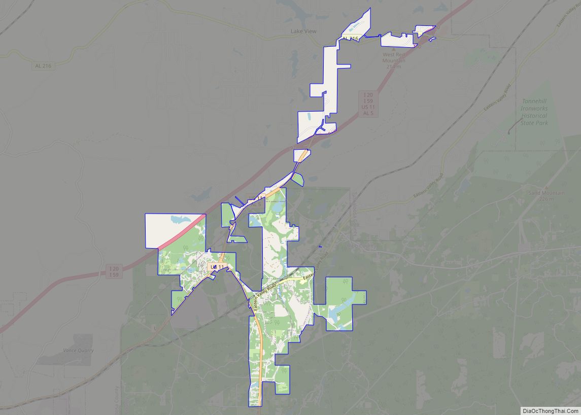
Online Interactive Map
Click on ![]() to view map in "full screen" mode.
to view map in "full screen" mode.
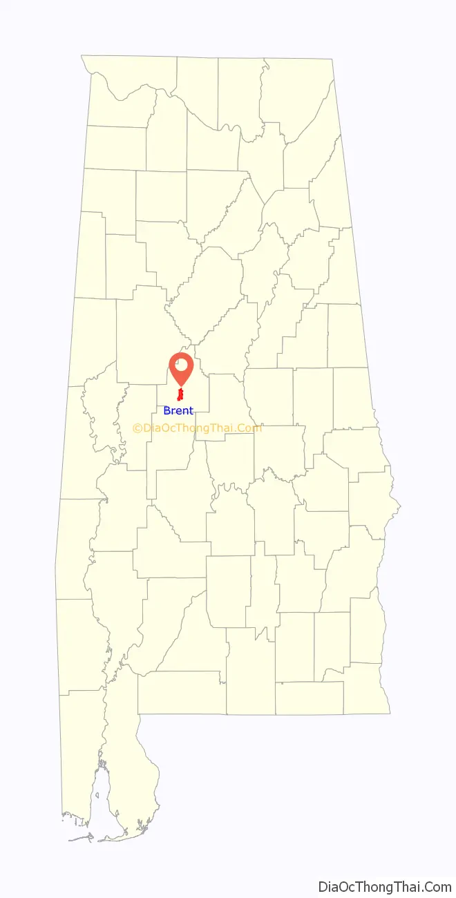
Brent location map. Where is Brent city?

History
Brent was founded in 1898 along the Gulf, Mobile & Ohio Railroad line in the southern portion of Bibb County, named after surveyor Brent H. Armstrong. The community was incorporated in 1913.
On May 27, 1973, Brent was almost completely destroyed by an F4 tornado during an outbreak of violent weather in the Deep South, killing 5 people and injuring 56 in the area. The tornado was on the ground for 139 miles (224 km), currently the longest track to date in Alabama history, beginning just northeast of Demopolis in Hale County and eventually dissipating at Cheaha Mountain in Clay County. Adjacent Centreville received significant damage as well as locations in nearby counties. Brent was able to be rebuilt before being hit by another EF3 on March 25, 2021, also damaging the adjacent town of Centreville were to have the Bibb County Airport rendering the airport a total loss.
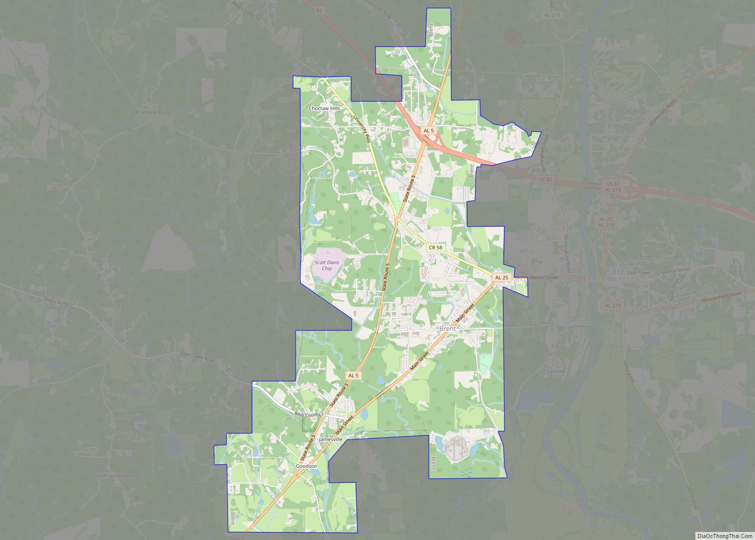
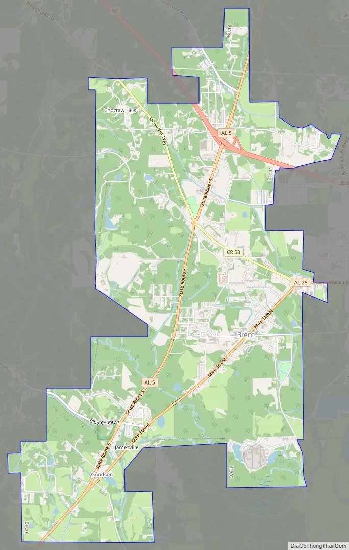
Brent Road Map
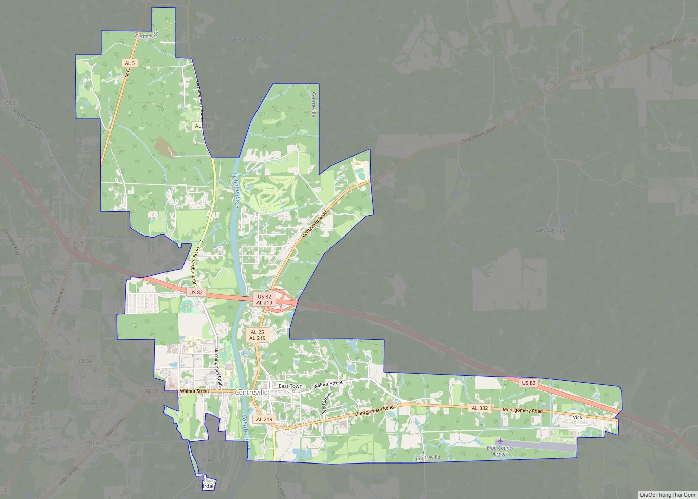
Brent city Satellite Map

Geography
Brent is located near the center of Bibb County at 32°56’24.864″ North, 87°10’29.935″ West (32.940240, -87.174982). It lies in the Cahaba River valley and is adjacent to the city of Centreville, the county seat, which is across the Cahaba River from the city. U.S. Route 82 passes through the northern part of town, bypassing the town center, and leads northwest 32 miles (51 km) to Tuscaloosa and southeast 73 miles (117 km) to Montgomery, the state capital.
According to the U.S. Census Bureau, Brent has a total area of 8.8 square miles (22.8 km), of which 8.8 square miles (22.7 km) is land and 0.039 square miles (0.1 km), or 0.34%, is water.
Climate
The climate in this area is characterized by hot, humid summers and generally mild to cool winters. According to the Köppen Climate Classification system, Brent has a humid subtropical climate, abbreviated “Cfa” on climate maps.
See also
Map of Alabama State and its subdivision:- Autauga
- Baldwin
- Barbour
- Bibb
- Blount
- Bullock
- Butler
- Calhoun
- Chambers
- Cherokee
- Chilton
- Choctaw
- Clarke
- Clay
- Cleburne
- Coffee
- Colbert
- Conecuh
- Coosa
- Covington
- Crenshaw
- Cullman
- Dale
- Dallas
- De Kalb
- Elmore
- Escambia
- Etowah
- Fayette
- Franklin
- Geneva
- Greene
- Hale
- Henry
- Houston
- Jackson
- Jefferson
- Lamar
- Lauderdale
- Lawrence
- Lee
- Limestone
- Lowndes
- Macon
- Madison
- Marengo
- Marion
- Marshall
- Mobile
- Monroe
- Montgomery
- Morgan
- Perry
- Pickens
- Pike
- Randolph
- Russell
- Saint Clair
- Shelby
- Sumter
- Talladega
- Tallapoosa
- Tuscaloosa
- Walker
- Washington
- Wilcox
- Winston
- Alabama
- Alaska
- Arizona
- Arkansas
- California
- Colorado
- Connecticut
- Delaware
- District of Columbia
- Florida
- Georgia
- Hawaii
- Idaho
- Illinois
- Indiana
- Iowa
- Kansas
- Kentucky
- Louisiana
- Maine
- Maryland
- Massachusetts
- Michigan
- Minnesota
- Mississippi
- Missouri
- Montana
- Nebraska
- Nevada
- New Hampshire
- New Jersey
- New Mexico
- New York
- North Carolina
- North Dakota
- Ohio
- Oklahoma
- Oregon
- Pennsylvania
- Rhode Island
- South Carolina
- South Dakota
- Tennessee
- Texas
- Utah
- Vermont
- Virginia
- Washington
- West Virginia
- Wisconsin
- Wyoming