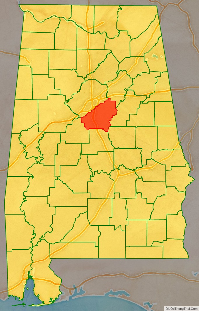
Shelby County is located in the central portion of the U.S. state of Alabama. As of the 2020 census the population was 223,024. The county seat is Columbiana. Its largest city is Alabaster. The county is named in honor of Isaac Shelby, Governor of Kentucky from 1792 to 1796 and again from 1812 to 1816. Shelby County is included in the Birmingham–Hoover, AL Metropolitan Statistical Area.
| Name: | Shelby County |
|---|---|
| FIPS code: | 01-117 |
| State: | Alabama |
| Founded: | February 7, 1818 |
| Named for: | Isaac Shelby |
| Seat: | Columbiana |
| Largest city: | Alabaster |
| Total Area: | 810 sq mi (2,100 km²) |
| Land Area: | 785 sq mi (2,030 km²) |
| Total Population: | 223,024 |
| Population Density: | 280/sq mi (110/km²) |
| Time zone: | UTC−6 (Central) |
| Summer Time Zone (DST): | UTC−5 (CDT) |
| Website: | www.shelbycountyalabama.com |
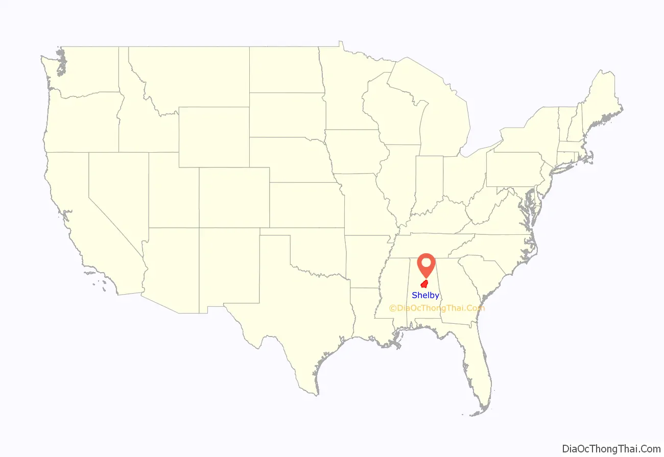
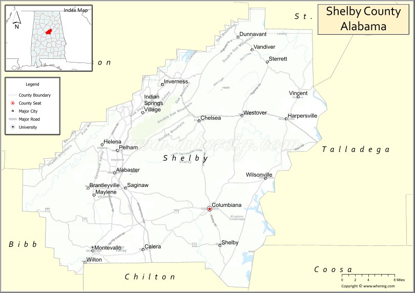
Shelby County location map. Where is Shelby County?
History
Shelby County was established on February 7, 1818, and it was named for the Revolutionary War hero and the first Governor of Kentucky, Isaac Shelby. Beginning in 1820, the first county seat was located at Shelbyville. This long defunct settlement was located within the modern city limits of Pelham. The first courthouse was built of logs. The seat was moved to Columbia, now Columbiana, in 1826. Initially housed in an old school building, a new brick courthouse building was completed in 1854. It is now known as the Old Shelby County Courthouse and houses the Shelby County Museum and Archives. The current limestone courthouse was built from 1905 to 1906, at a cost of $300,000.
Shelby County has a long history in agriculture, and since about 1990, it has become an important location for growing soybeans, which has exceeded cotton as the most important crop grown there.
Shelby County was the home of an early inland waterway, the Coosa River, and it was also the location of a very early east–west railroad in Alabama that connected Atlanta, Georgia, with locations to its west. Shelby County was also crossed by an early north–south railroad, the Louisville and Nashville Railroad, that connected Louisville, Nashville, Decatur, Birmingham, and Montgomery.
With the advent of the automobile and the truck, Shelby County was soon crossed from north to south by U.S. Highway 31, the major one that followed the same route as the Louisville and Nashville Railroad did. (All odd-numbered U.S. Highways are north–south routes: e.g. U.S. 1, 11, 21, 31, 41, 51, 61, and 71, 101, going from East to West) The eastern part of Shelby County was later crossed by U.S. Highway 231 and U.S. 280.
Decades later, Shelby County was crossed by Interstate Highway 65. Hence, an important ingredient in the eventual growth of Shelby County has been its ready access to modern systems of transportation. Interstate 65 and U.S. Highway 31 have long provided strong connections between Shelby county and the more populous Jefferson County directly to its north, leading to suburban development in towns such as Pelham, Helena, Alabaster, and Chelsea.
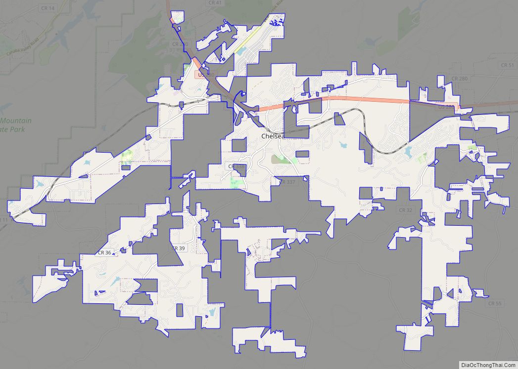
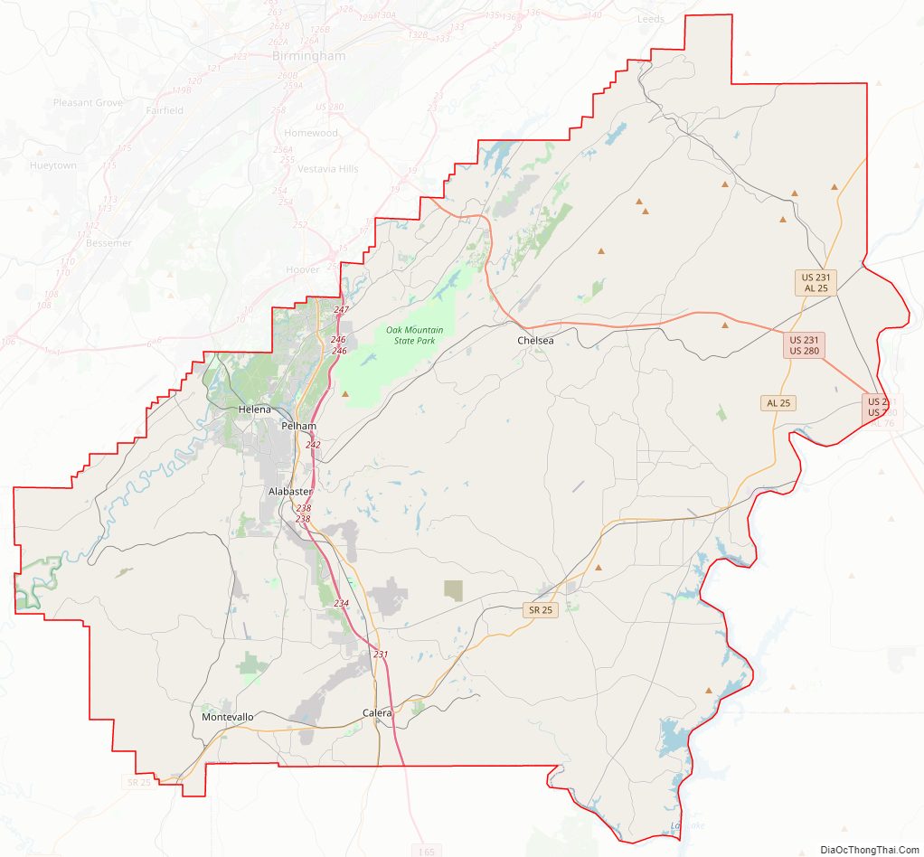
Shelby County Road Map
Geography
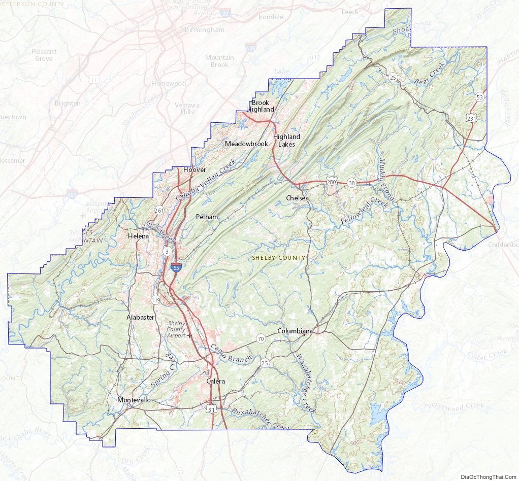
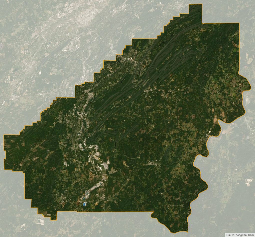
According to the United States Census Bureau, the county has a total area of 810 square miles (2,100 km), of which 785 square miles (2,030 km) is land and 25 square miles (65 km) (3.0%) is water.
Parts of Shelby County are crossed by the southernmost extensions of the Appalachian Mountains, such as Oak Mountain and Double Oak Mountain. However, large parts of Shelby County are much flatter, giving good land for farms and pastures. Shelby County also has lowlands along two rivers, and one large man-made reservoir, Lay Lake, which also borders Coosa, Talladega and Chilton counties.
Most of Shelby County is drained either by the Cahaba River, which flows along the northern edge of the county, and then to the southwest, or by the Coosa River, whose valley includes the eastern end of the county. These are both important rivers in Alabama. Much farther south, both the Cahaba River and the Coosa River flow into the Alabama River, and thence to the Gulf of Mexico. To be more precise, the Coosa River and the Tallapoosa River flow together at Wetumpka, Alabama, to form the Alabama River, and then the Cahaba River is a tributary to that one farther to the west. Waxahatchee Creek, a major tributary of the Coosa River, forms the southeastern portion of the border between Shelby County and Chilton County.
Adjacent counties
- St. Clair County (northeast)
- Talladega County (east)
- Coosa County (southeast)
- Chilton County (south)
- Bibb County (southwest)
- Jefferson County (northwest)
Shelby County Topographic Map
Shelby County Satellite Map
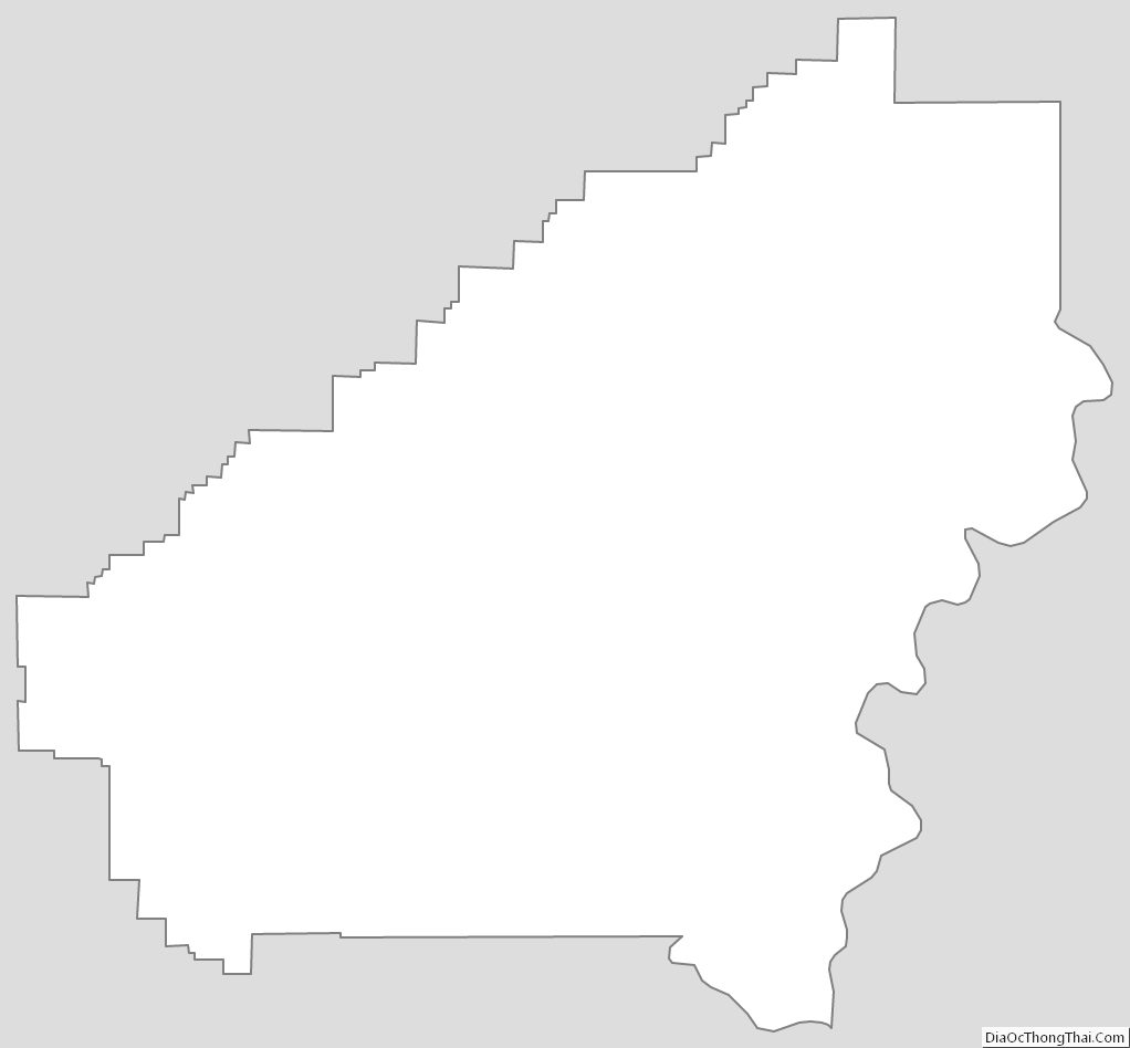
Shelby County Outline Map