Calvert County is located in the U.S. state of Maryland. As of the 2020 census, the population was 92,783. Its county seat is Prince Frederick. The county’s name is derived from the family name of the Barons of Baltimore, the proprietors of the English Colony of Maryland Calvert County is included in the Washington–Arlington–Alexandria, DC–VA–MD–WV Metropolitan Statistical Area. It occupies the Calvert Peninsula, which is bordered on the east by Chesapeake Bay and on the west by the Patuxent River. Calvert County is part of the Southern Maryland region. The county has one of the highest median household incomes in the United States. It is one of the older counties in Maryland, after St. Mary’s, Kent County and Anne Arundel counties.
| Name: | Calvert County |
|---|---|
| FIPS code: | 24-009 |
| State: | Maryland |
| Founded: | 1654 |
| Named for: | Calvert family |
| Seat: | Prince Frederick |
| Largest town: | Chesapeake Beach |
| Total Area: | 345 sq mi (890 km²) |
| Land Area: | 213 sq mi (550 km²) |
| Total Population: | 92,783 |
| Population Density: | 435.60/sq mi (168.19/km²) |
| Time zone: | UTC−5 (Eastern) |
| Summer Time Zone (DST): | UTC−4 (EDT) |
| Website: | www.calvertcountymd.gov |
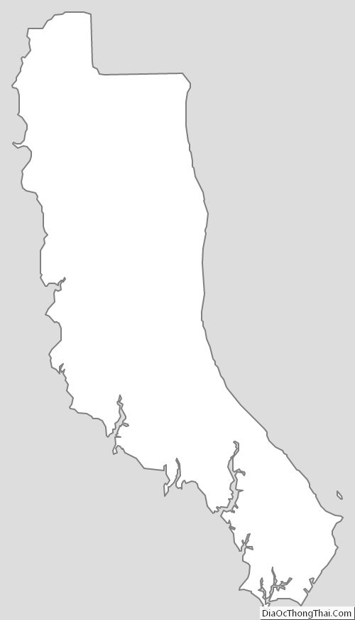
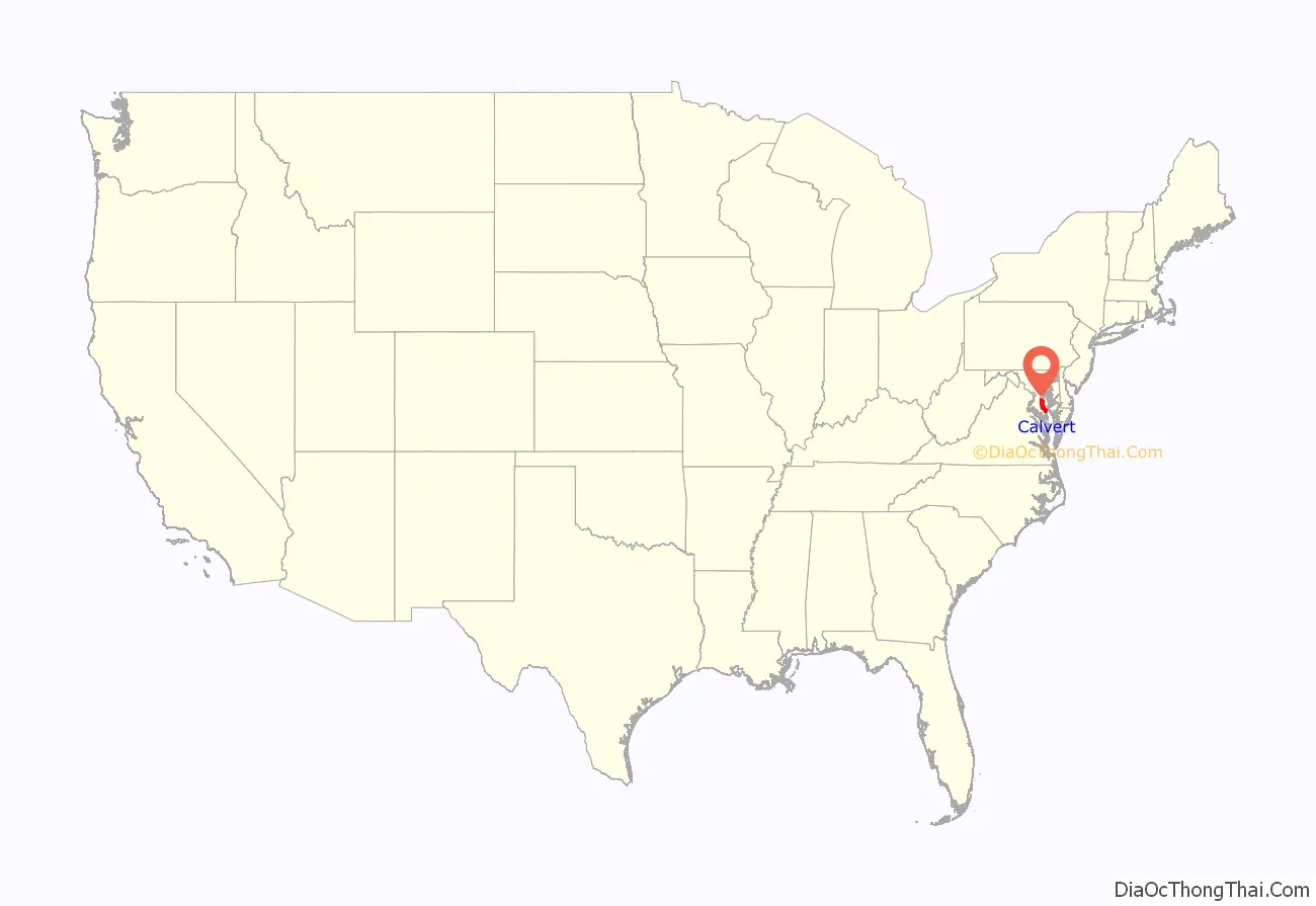
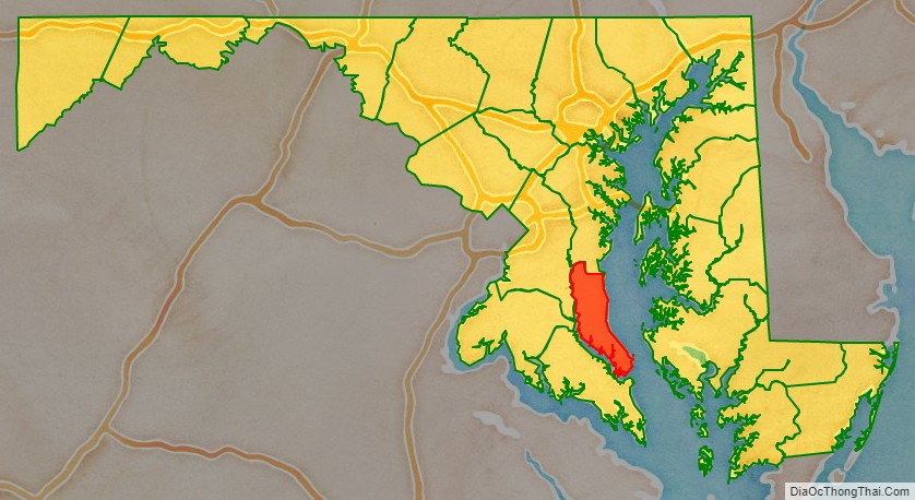
Calvert County location map. Where is Calvert County?
History
Early History
In 1608, Captain John Smith was the first European to sail past Calvert County while exploring the western shore of the Chesapeake Bay. On his map, he accurately represented the Patuxent River as well as several Native-American villages. The area was described as wooded and had been occupied by the Patuxent people who were overall peaceful to the early Europeans. Their diet was composed of fish from the river and corn cultivated in man-made clearings with a supplement of game from the forests. These clearings were very desirable and conflict occurred when the settlers attempted to seize these areas from the Native Americans. Leonard Calvert, the first Governor of the Maryland, organized troops of armed men in 1639 to protect the settlers.
The first written mention of European settlers on the northern shore of the Patuxent River is found in the records of the Maryland Assembly in 1642. A Henry Bishop “stood up in the Assembly and exhibited himself as a Burgess of St. Leonard’s and pleaded that it be acknowledged as a Hundred” near St. Leonard’s Creek. This shows that European settlement along the river and its tributaries had been taking place for several years already.
By 1646, the colonists had spread all along the Patuxent River and up the Bay side of Calvert County. Most of the transportation of goods and people took place on the water as the land was occupied by dense forests. Large creeks were navigated by sailing boats and plantations used their wharves to ship good. Ferry services were setup across the river and the bay with rates fixed by law.
Creation of Charles County
The county was originally named Charles County (much larger and unrelated to the present-day Charles County) in 1650 when Cecil Calvert, 2nd Baron Baltimore established it with Robert Brooke as its “Commander”. It was named after Charles I of England. At the time, the new county included the current area of Calver County as well as the southern and western shores of the Patuxent River up to its headwaters. The county seat was called Calverton (sometimes called Battle Town) and was located on the north shore at the mouth of Battle Creek until 1725. In 1658, the county was renamed Calvert County. It also included all of Prince George’s County and parts of Montgomery County.
Puritans coming from Virginia had settled in Anne Arundel County and overflowed into Calvert County. All new settlers in Maryland were required to take an oath of allegiance to Lord Baltimore per the “Conditions of Plantation”. This was a major point of tension between the Puritan settlers and Lord Baltimore. The civil war was ongoing in Britain where the Puritans had gained control. Oliver Cromwell dismissed Parliament there and assumed the role of Lord Protector. In 1652, he sent a force of 750 men to subdue the plantations of the Chesapeake Bay under the new government. Virginia and Maryland surrendered to the Puritans and Robert Brooke cooperated with the Puritans.
On July 3, 1654, Lord Baltimore abolished Charles County and removed all authority from Brooke. He re-established the county as Calvert County with the same territory. However, the Puritan Assembly was in power and changed the name to Patuxent County on October 20, 1654, after the Patuxent River and to remove any connection with the Calvert family. The county kept this name under the Puritan regime until 1658 when the name of Calvert County was restored.
According to the local “Trail of Souls Project”, in 1860 there were 4,609 enslaved people, 1,841 free people of color for a total county population of 10,000 people.
Once made up primarily of farms and tobacco fields, the county’s agriculture transformed in the mid-1990s. The prices for tobacco were declining. The State of Maryland instituted the Tobacco Buyout program which offered farmers to transition to different crops and away from tobacco. 195 contracts were signed between Calvert county farmers and property owners and The Southern Maryland Agricultural Development Commission. The funds were used for infrastructure and equipment upgrades. Today the county produces fruits, vegetables, meat as well as other crops.
The county has become a fast-growing exurban neighbor of Washington. Many home prices have nearly quadrupled in the past decade, with many four-bedroom homes in the northern half of the county averaging over $1,000,000. The popular weekend resort towns of Solomons, Chesapeake Beach, and North Beach are notable.
The county has numerous properties on the National Register of Historic Places.
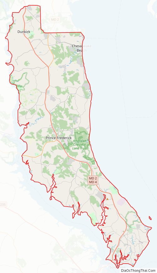
Calvert County Road Map
Geography
According to the U.S. Census Bureau, the county has a total area of 345 square miles (890 km), of which 213 square miles (550 km) is land and 132 square miles (340 km) (38%) is water. It is the smallest county in Maryland by land area and third-smallest by total area. The county also includes five islands: Solomons Island, Broomes Island, Buzzard Island, Hog Island, and Molly’s Leg.
The county’s coast along the Chesapeake Bay is a long, relatively smooth bight, a feature that is unique in the Chesapeake Bay.
Geology
A geological formation spanning across Maryland, Virginia, and Delaware is named after the county: the Calvert Formation. It is visible within the Calvert Cliffs State Park where it is exposed in cliffs. Located on the western shore of the county, Calvert Cliffs are famous for their fossil deposits and are a popular collecting location of marine vertebrates, shark teeth, birds as well as fresh water and marine turtles and tortoises. Some crocodile teeth have also been found which indicates that they may have been nesting in the sands at the time the formation was created.
The county landscape is composed of three platforms: the Talbot Terrace, the Wicomico Terrace, and the Sunderland Terrace (also known as the Ridge). These terraces correspond to three periods where the water level rose and later fell, leaving sand deposits. The oldest was created during the Miocene Age when the entire county peninsula found itself underwater. Marine deposits, clay, and mud containing sea shells and fossils were left behind leading to what we see at Calvert Cliffs today after the sea receded and the waves started erroring the deposit. These three terraces are visible in various parts of the county and are most obvious on the Bay side of the county where they rise to a height of 100 feet.
Climate
Calvert County lies in the humid subtropical climate zone (Cfa) in the Köppen climate classification, with hot, humid summers and mild to chilly winters with plentiful precipitation year-round. In the Trewartha climate classification the county is classified as oceanic (Do) except in the extreme south which is Cf. Its proximity to the Chesapeake Bay has a moderating effect on temperatures compared with locales further inland. Average monthly temperatures in Prince Frederick range from 35.9 °F in January to 77.9 °F in July.
Adjacent counties
- Anne Arundel County (north)
- Prince George’s County (northwest)
- Charles County (west)
- Dorchester County (east)
- Talbot County (northeast)
- St. Mary’s County (south)
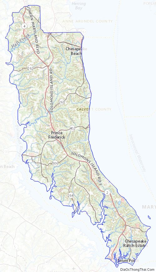
Calvert County Topographic Map
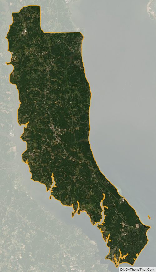
Calvert County Satellite Map
Calvert County Outline Map