Carver County is a county in the U.S. state of Minnesota. The county is mostly farmland and wilderness with many unincorporated townships. As of the 2020 census, the population was 106,922. Its county seat is Chaska. Carver County is named for explorer Jonathan Carver, who in 1766–67, traveled from Boston to the Minnesota River and wintered among the Sioux near the site of New Ulm. Carver County is part of the Minneapolis–St. Paul–Bloomington, MN-WI Metropolitan Statistical Area.
| Name: | Carver County |
|---|---|
| FIPS code: | 27-019 |
| State: | Minnesota |
| Founded: | February 20, 1855 |
| Named for: | Jonathan Carver |
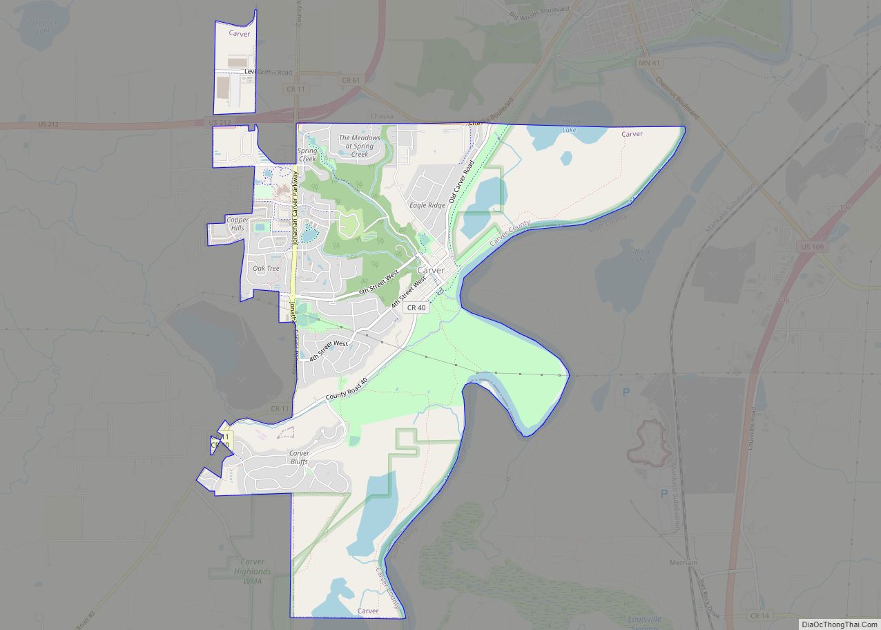
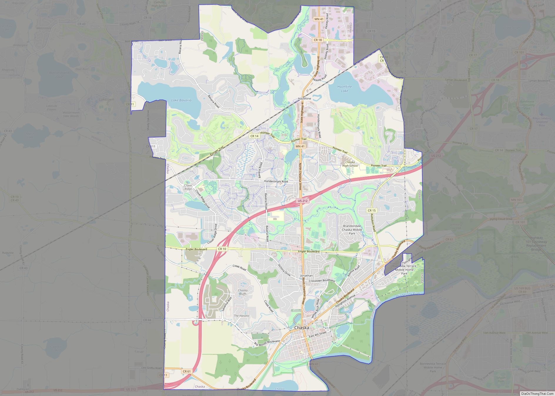
| Seat: | Chaska |
| Largest city: | Chaska |
| Total Area: | 376 sq mi (970 km²) |
| Land Area: | 354 sq mi (920 km²) |
| Total Population: | 106,922 |
| Population Density: | 302/sq mi (117/km²) |
| Time zone: | UTC−6 (Central) |
| Summer Time Zone (DST): | UTC−5 (CDT) |
| Website: | www.co.carver.mn.us |
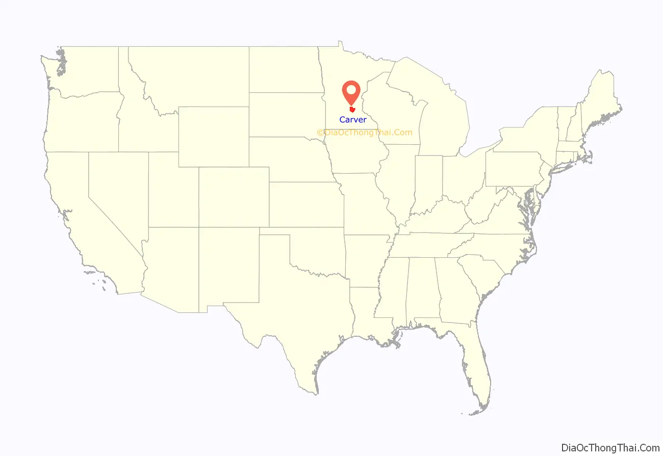
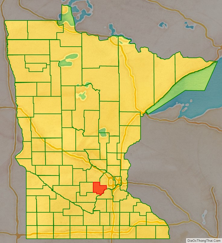
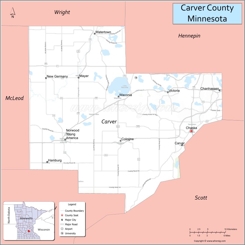
Carver County location map. Where is Carver County?
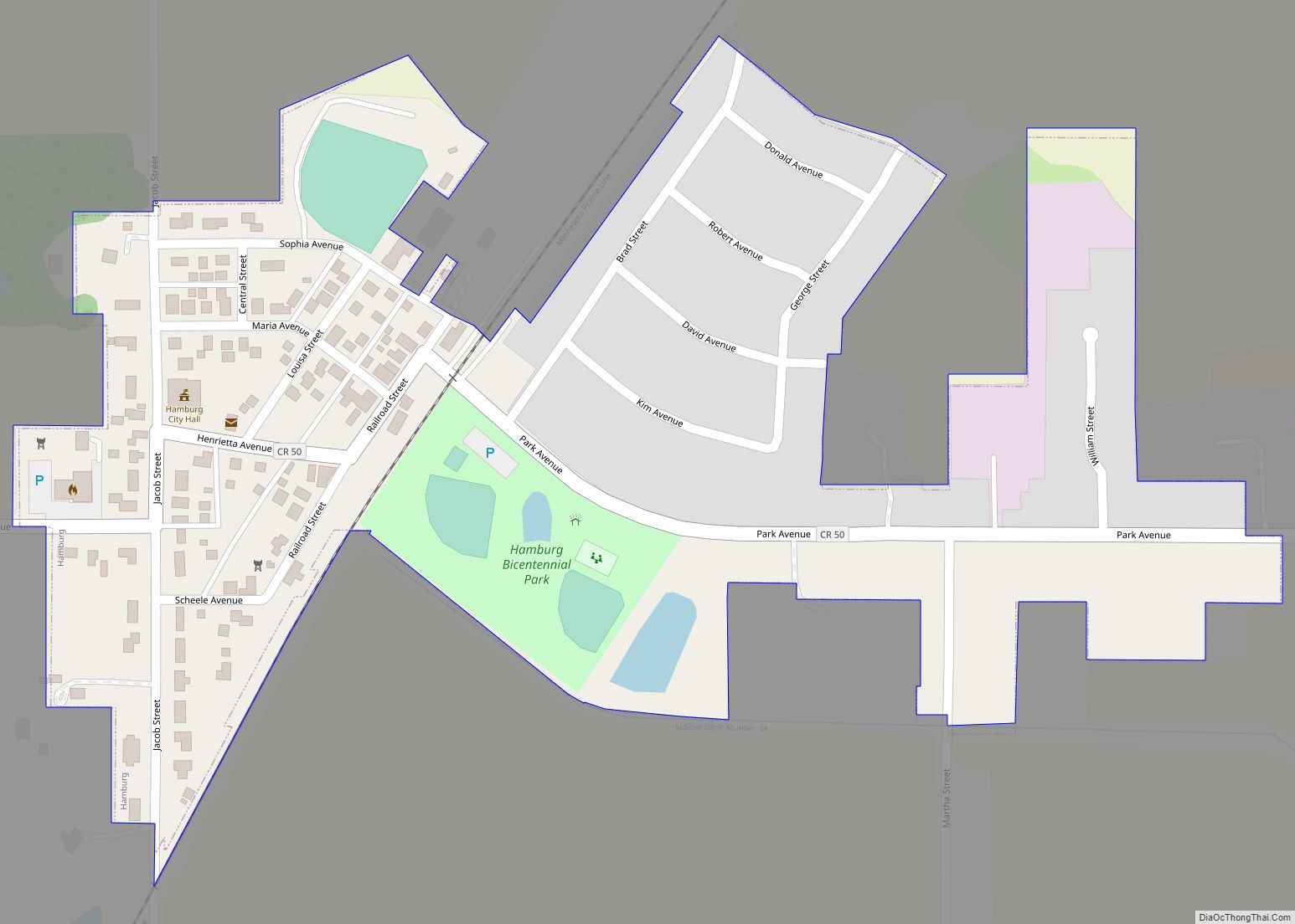
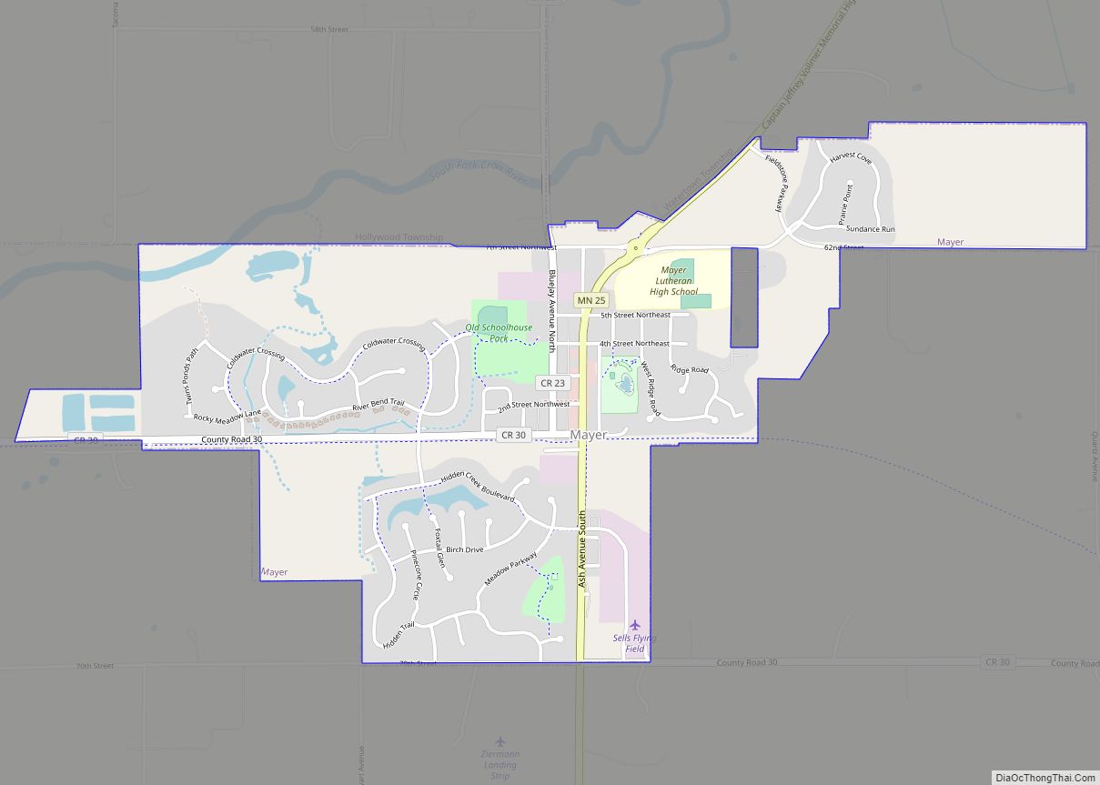
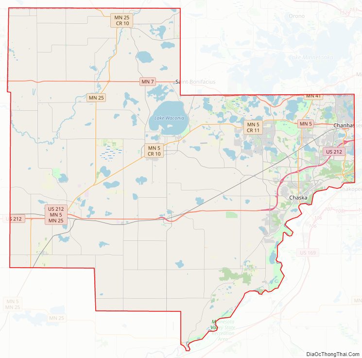
Carver County Road Map
Geography
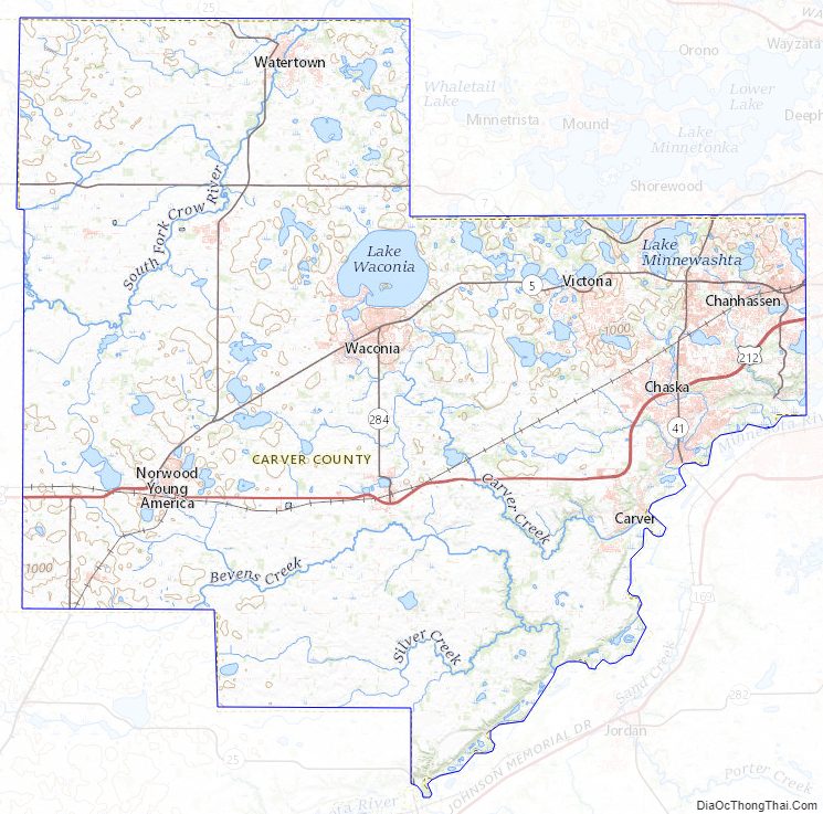
The Minnesota River flows east-northeasterly along the county’s southern border. The South Fork of the Crow River flows northeasterly through the upper western and central portions of the county. Carver Creek flows southeasterly from the county’s central area, discharging into the Minnesota at the county’s southern border. The terrain consists of low rolling hills, dotted with lakes in the eastern portion. The area is devoted to agriculture.
The terrain slopes to the east and south, with its northwest corner at 1,024′ (312m) ASL. A small hill 1.6 miles (2.6 km) northeast of Miller Lake rises to 1,080′ (329m) ASL, for the county’s highest point.
The county has a total area of 376 square miles (970 km), of which 354 square miles (920 km) is land and 22 square miles (57 km) (5.8%) is water. It is Minnesota’s second-smallest county by land area and third-smallest by total area.
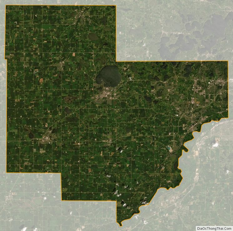
Carver is one of seven southern Minnesota counties with no forest soils; only prairie ecosystems of savannas and prairies can be found in Carver County. It is also one of 17 Minnesota counties where savanna soils dominate.
Lakes
Carver County is home to seven lakes of 235 acres or larger. The largest is Lake Waconia, Minnesota’s 73rd largest lake and the Twin Cities’ second largest lake, with an area of 2,996 acres.
Major highways
- U.S. Highway 212
- Minnesota State Highway 5
- Minnesota State Highway 7
- Minnesota State Highway 25
- Minnesota State Highway 41
- Minnesota State Highway 284
- Carver County Road 10
- Carver County Road 11
- Carver County Road 33
- Other county roads
Adjacent counties
- Wright County – north
- Hennepin County – northeast
- Scott County – southeast
- Sibley County – southwest
- McLeod County – west
Protected areas
- Assumption State Wildlife Management Area
- Carver Park Preserve
- Gravel Pit State Wildlife Management Area
- Lake Minnewashta Regional Park
- Minnesota Landscape Arboretum
- Minnesota Valley National Wildlife Refuge (part)
- Minnesota Valley State Recreation Area (part)
- Waconia State Wildlife Management Area
Carver County Topographic Map
Carver County Satellite Map
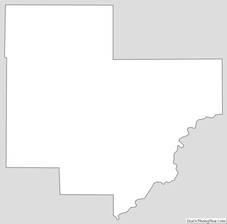
Carver County Outline Map