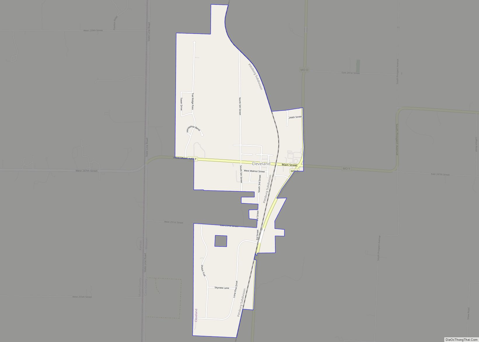
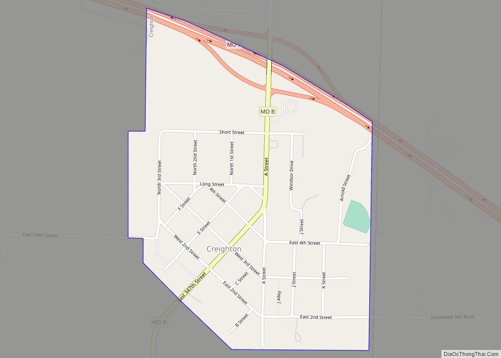
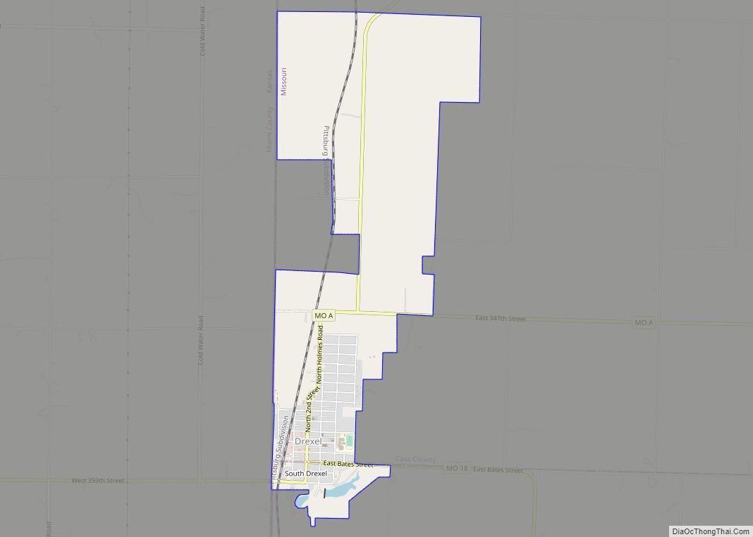
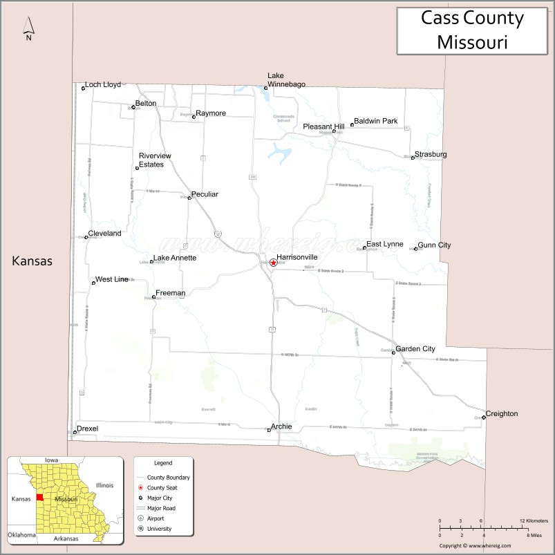
Cass County is a county located in the western part of the U.S. state of Missouri and is part of the Kansas City metropolitan area. As of the 2020 census, the population was 107,824. Its county seat is Harrisonville, however the county contains a portion of Kansas City, Missouri. The county was organized in 1835 as Van Buren County, but was renamed in 1849 after U.S. Senator Lewis Cass of Michigan, who later became a presidential candidate.
| Name: | Cass County |
|---|---|
| FIPS code: | 29-037 |
| State: | Missouri |
| Founded: | March 3, 1835 |
| Named for: | Lewis Cass |
| Seat: | Harrisonville |
| Total Area: | 702 sq mi (1,820 km²) |
| Land Area: | 697 sq mi (1,810 km²) |
| Total Population: | 107,824 |
| Population Density: | 150/sq mi (59/km²) |
| Time zone: | UTC−6 (Central) |
| Summer Time Zone (DST): | UTC−5 (CDT) |
| Website: | www.casscounty.com |
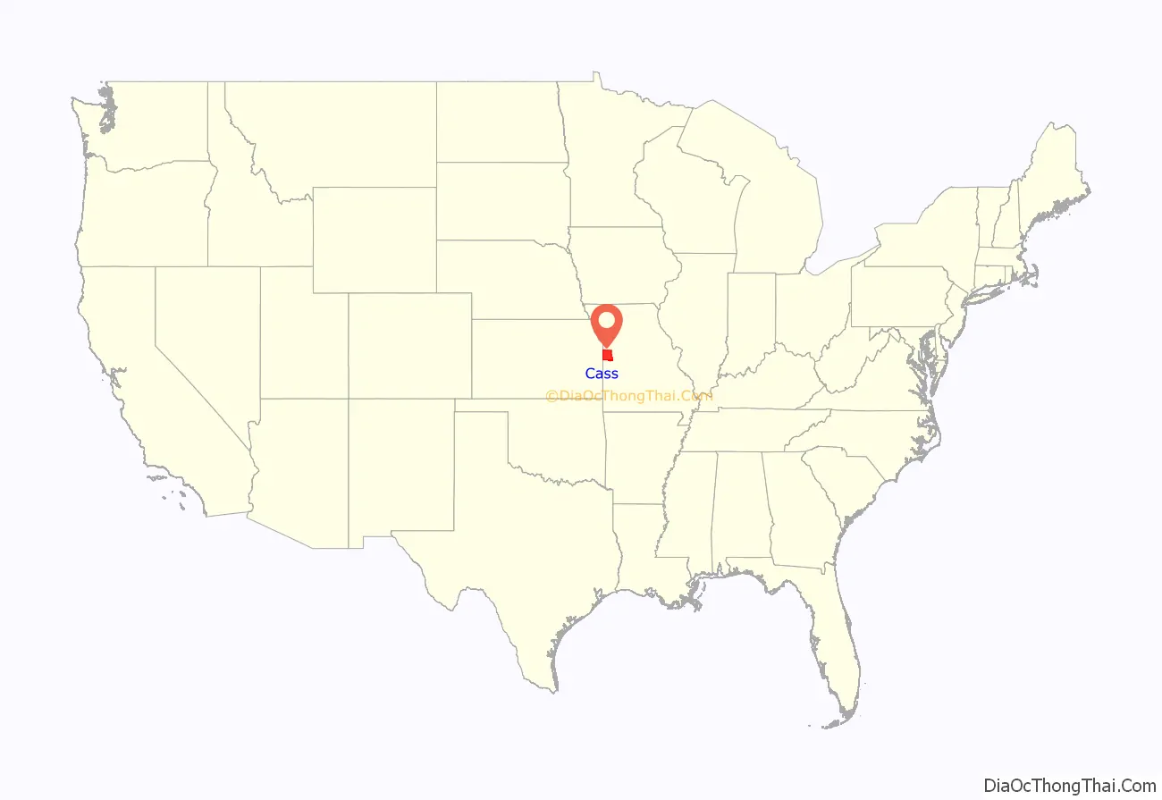
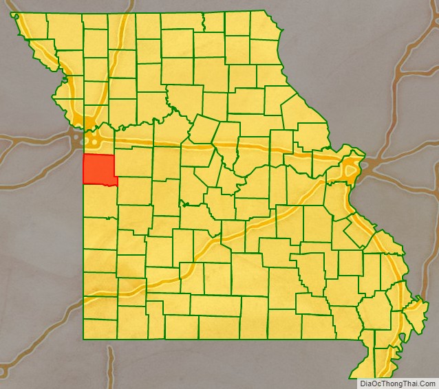
Cass County location map. Where is Cass County?
History
The Harrisonville area was long inhabited by speakers of the Dhegihan Siouan-language family: The Osage, Quapaw, Omaha, Ponca and Kansa tribes make up this sub-group. The Kansa tribal range extended southward from the Kansas-Missouri River junction as far as the northern edge of present-day Bates County, Missouri, taking in the sites of modern Pleasant Hill, Garden City, Archie and Drexel. On their southeastern border they were neighbors of the Osage. There is no evidence that either of these tribes ever had a truly permanent settlement in the territory of Cass County.
Other historical tribes in the area were reportedly Shawnee and Lenape (aka Delaware), whose tribes spoke related Algonquian languages. The Lenape had been pushed to the Midwest from their territory along the mid-Atlantic coast by continuous white encroachment.
In 1818 the United States had granted land to the Lenape in southern Missouri Territory, but they were forced to cede it back in 1825, after Missouri became a state. At that time, they were removed to a reservation in Kansas. Other Lenape had previously migrated south to Texas, seeking refuge in what was still Mexican territory after it gained independence from Spain. Those who remained in the Harrisonville area were close relatives of the Sauk, Fox and Kickapoo tribes.
The early camp meetings held by European-American settlers southwest of Harrisonville often attracted as many as 500 Indians, in addition to Europeans. They seemed to enjoy the enthusiastic religious services, accompanied by hymn singing and socializing, as much as the white settlers did.
The first European-American settler on the site of modern Harrisonville was James Lackey in 1830. Other early settlers were Humphrey Hunt, John Blythe, and Dr. Joseph Hudspeth. Lackey was considered a “squatter,” as he built a cabin and enclosed a small field on the tract of public land taken to establish the county seat.
The site of the town was fixed under an act of the Missouri General Assembly in 1835, by David Waldo of Lafayette County and Samuel Hink and William Brown, both of Jackson County. In the same year, the first court met for the county, known as Van Buren County. Justices James McClellan and William Savage met in McClellan’s residence about three miles (5 km) southeast of Peculiar on September 14, 1835. William Lyon was appointed clerk of the court and county government was organized, including the establishment of Grand River Township.
In the spring of 1837 the town of Harrisonville was platted by Enoch Rice, Francis Prine and Welcome Scott, who had been appointed commissioners by the state legislature in the winter of 1836. These commissioners, in company with Martin Rice, the county surveyor, met at the home of John Cook on April 3, 1837, to resolve Lackey’s preemption claim. In May they laid off the town in lots 3, 4, 5 and 6 of the northeast and northwest quarters of Section 4, Township 44N., Range 31W. Within these 160 acres (0.65 km) there were to be four streets: Wall and Pearl running east to west, and Lexington and Independence going north and south, each less than 40 feet wide. Fleming Harris was appointed town commissioner on April 8, 1837. The first town lots were sold on June 12 of that year; those facing the public square sold at $20 each, the others at $10.
“Democrat” was strongly urged as a name for the new town but was finally rejected. The town was named after U.S. Representative Albert G. Harrison from Missouri. The first house within the town was erected by Jason L. Dickey in 1836. The first jail in Harrisonville and second for Cass County was established in 1838. Its site was 312 S. Independence. One of its successors is recognized among the state’s historic sites.
On October 8, 1835, the first church in Harrisonville was organized. Its site was two miles southwest of town and it was known as Hopewell or New Hope Baptist.
Harrisonville eventually was served by railroad lines known as the Missouri Pacific and the Frisco. After a scandal in funding railroad construction by the issuance of bonds, three men involved in the swindle were shot and killed by a mob on April 24, 1872, when their train was stopped on a Katy railroad spur. This became known as the “Gunn City Massacre” because it took place near that city.
In 1857 Cass County had approved a large stock subscription for the Pacific Railroad Company, to support its construction in the area. This corporation later surrendered the bonds to the new Saint Louis and Santa Fe Railroad, from whence they were later assigned to the Land Grant Railroad & Construction Company of New York City. Residents of Cass County gained a court injunction in an effort to prevent the funding of these bonds, but by legal maneuvering and collusion, the company gained a new set of bonds, issued secretly.
The populace was outraged, believing this maneuver was intended to benefit the holders of the now worthless bonds, by re-obligating the county to pay those same bonds. The county attorney, a judge of the county court, and a third man involved in the scandal were shot and killed while on a train stopped between Bryson, Missouri and Paola, Kansas. (It was in or near what is now known as Gunn City). Afterward some 41 men were arrested as suspects and prosecuted for these killings, but none was convicted. At the time of the shootings, a related mob burned a Republican newspaper owned by Porter J. Coston, in Harrisonville, Missouri.
By 1860, the year before the Civil War, 12 cities in Missouri had populations of approximately 2,500 or more. Harrisonville ranked 37th, with a population of 675. In 1863 the town was depopulated, as the United States forces pushed the people out in an effort to reduce any local support for insurgent guerrilla activity in the area. Most of the buildings were burned, the jail among them. Fort Harrisonville was a Union stronghold for a brief period in 1863 and provided protection for loyal Union families.
Some of the county’s local history is presented at the Pleasant Hill Historical Society Museum, in Pleasant Hill on the northern edge of the county.
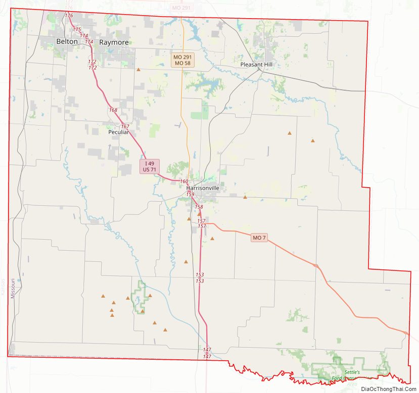
Cass County Road Map
Geography
According to the U.S. Census Bureau, the county has a total area of 702 square miles (1,820 km), of which 697 square miles (1,810 km) is land and 5.7 square miles (15 km) (0.8%) is water.
Adjacent counties
- Jackson County (north)
- Johnson County (east)
- Henry County (southeast)
- Bates County (south)
- Miami County, Kansas (west)
- Johnson County, Kansas (northwest)
Major highways
- Interstate 49
- U.S. Route 71
- Route 2
- Route 7
- Route 58
- Route 291
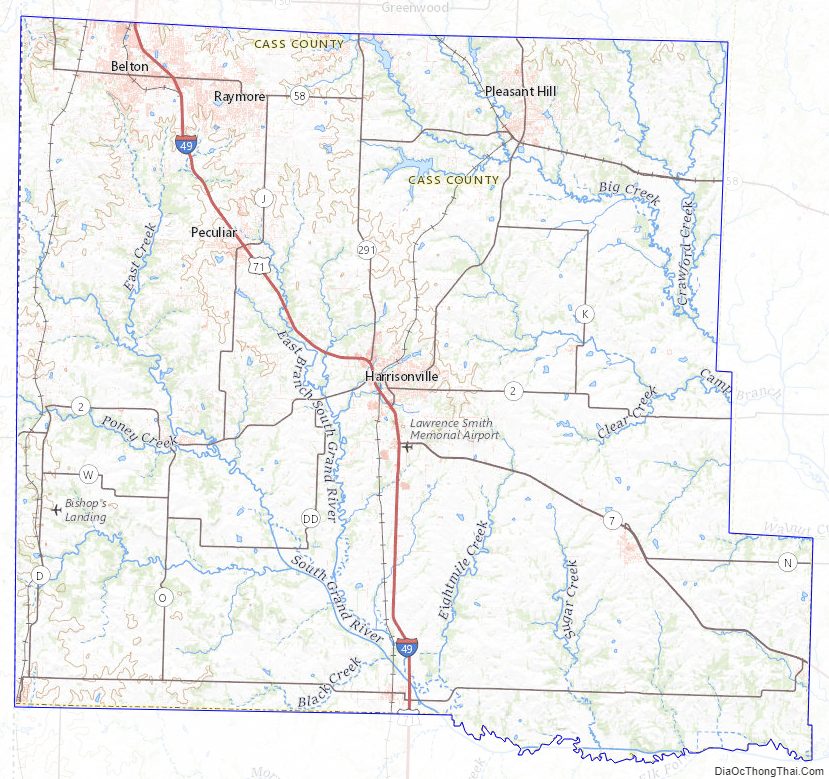
Cass County Topographic Map
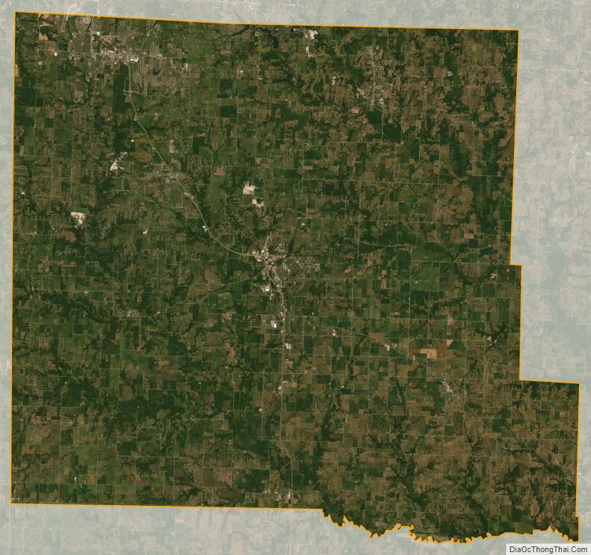
Cass County Satellite Map
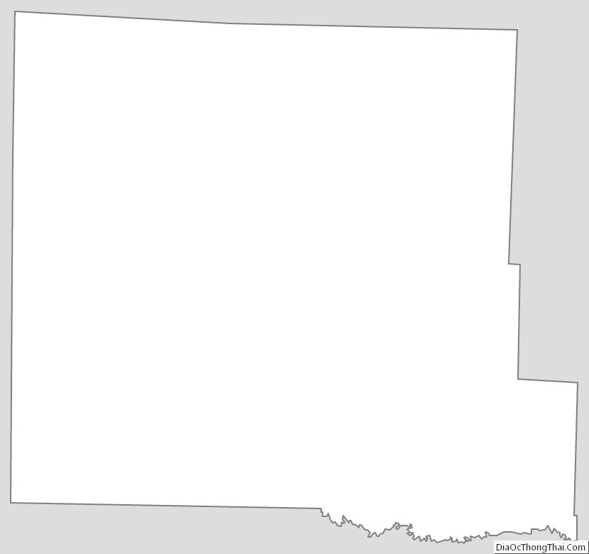
Cass County Outline Map