Harrisonville is a city in Cass County, Missouri, United States. The population was 10,121 at the 2020 census. It is the county seat of Cass County. It is part of the Kansas City metropolitan area.
| Name: | Harrisonville city |
|---|---|
| LSAD Code: | 25 |
| LSAD Description: | city (suffix) |
| State: | Missouri |
| County: | Cass County |
| Incorporated: | 1851 |
| Elevation: | 945 ft (288 m) |
| Total Area: | 10.01 sq mi (25.94 km²) |
| Land Area: | 9.88 sq mi (25.60 km²) |
| Water Area: | 0.13 sq mi (0.34 km²) |
| Total Population: | 10,121 |
| Population Density: | 1,024.08/sq mi (395.39/km²) |
| ZIP code: | 64701 |
| Area code: | 816 |
| FIPS code: | 2930610 |
| GNISfeature ID: | 2394306 |
| Website: | ci.harrisonville.mo.us |
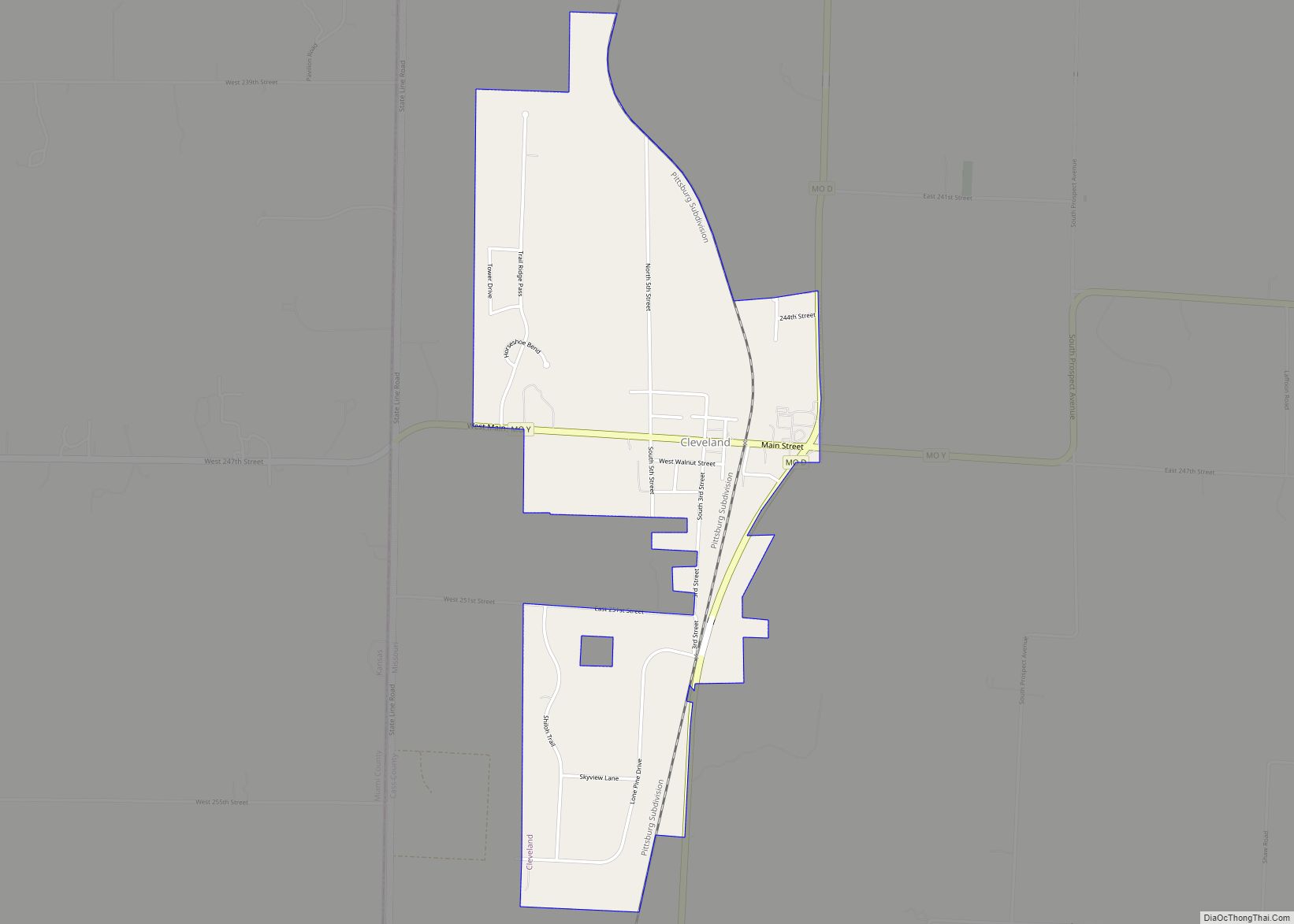
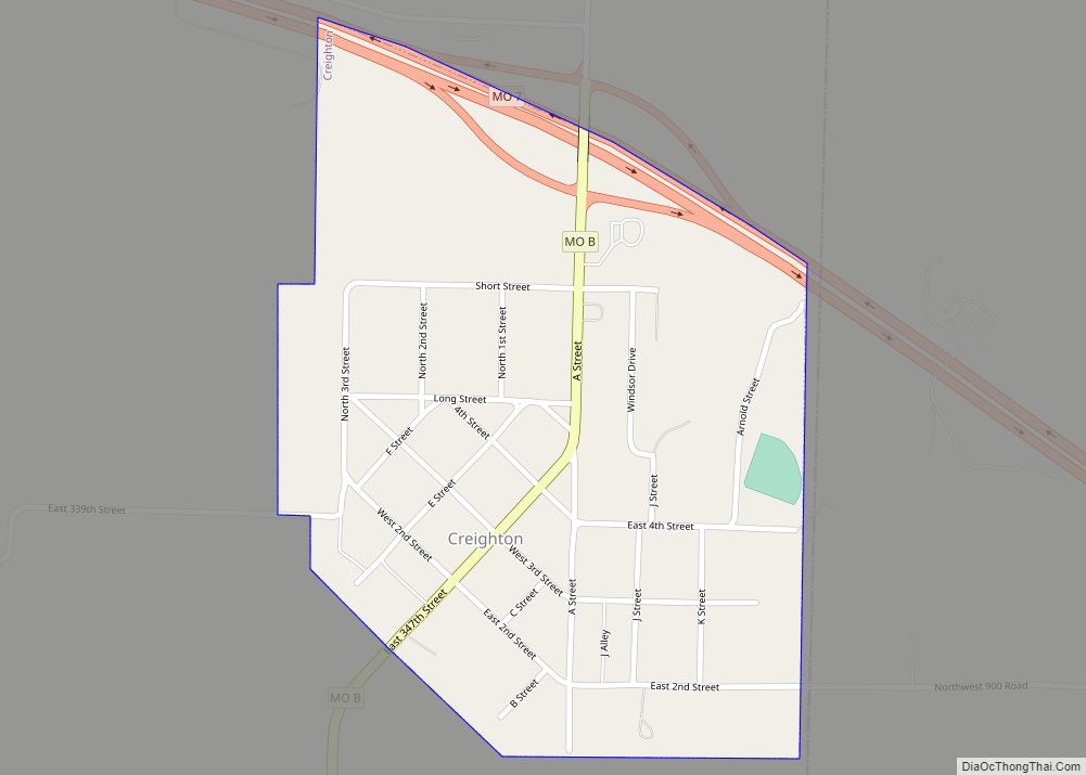
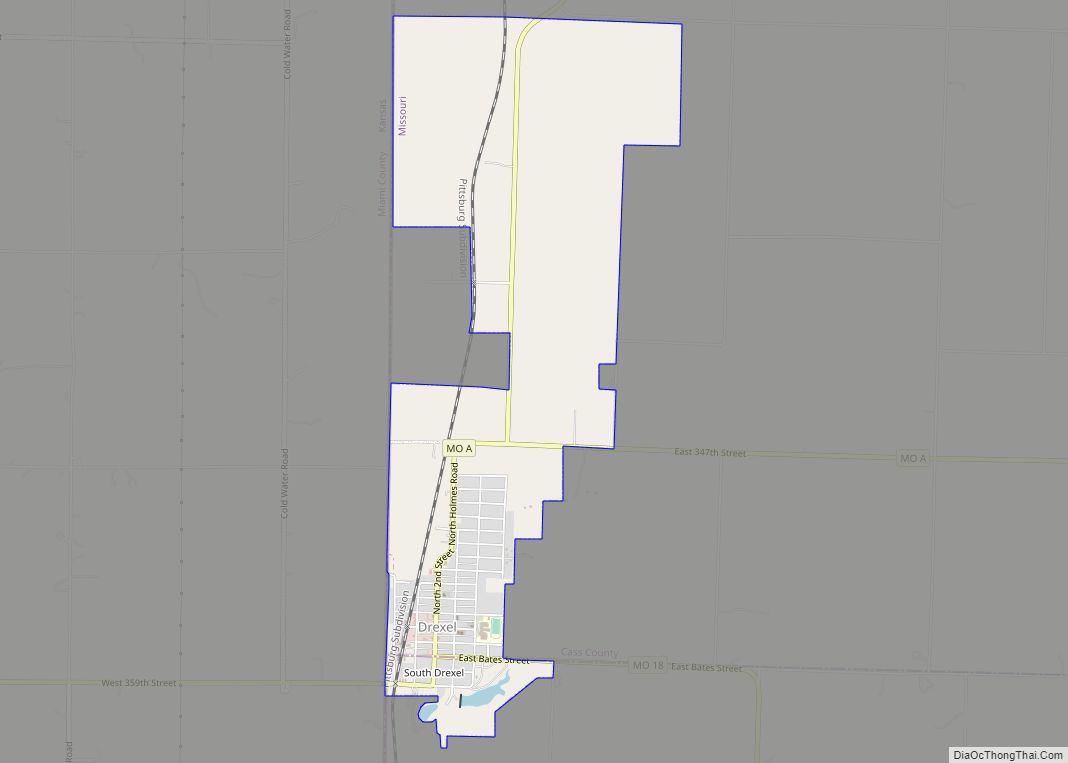
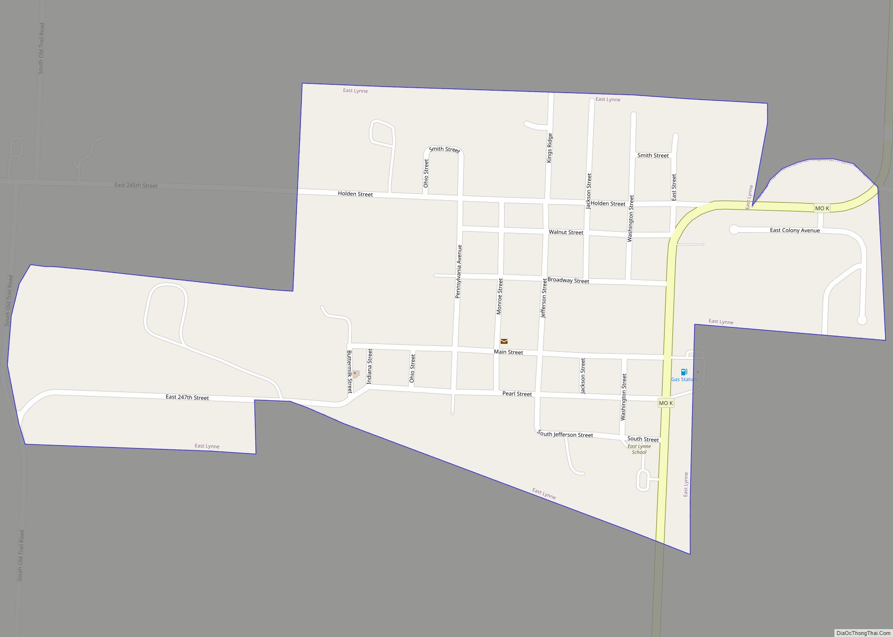
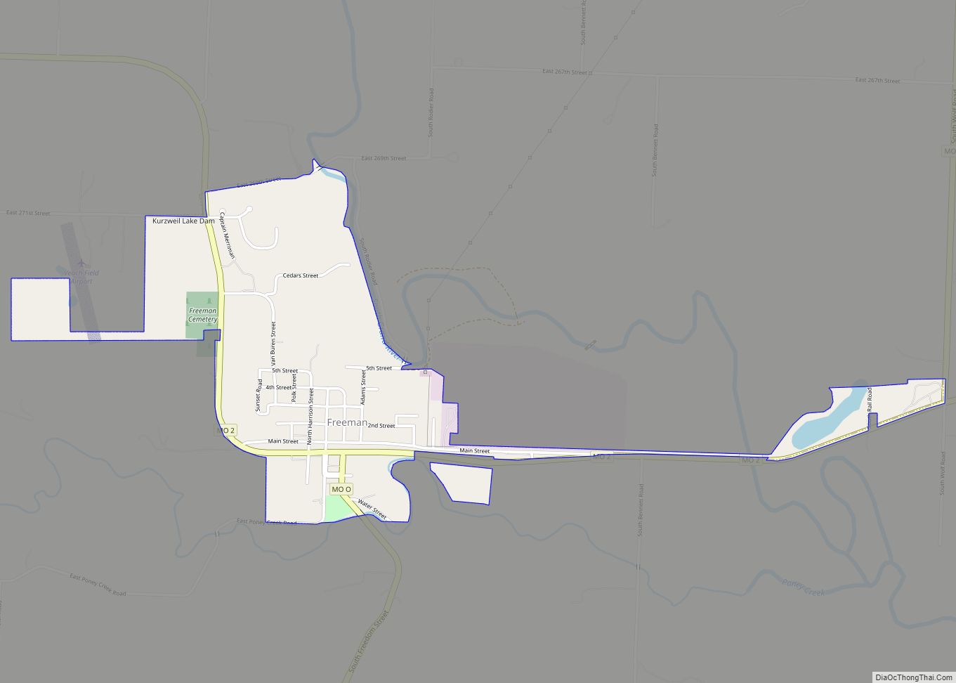
Online Interactive Map
Click on ![]() to view map in "full screen" mode.
to view map in "full screen" mode.
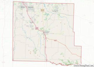
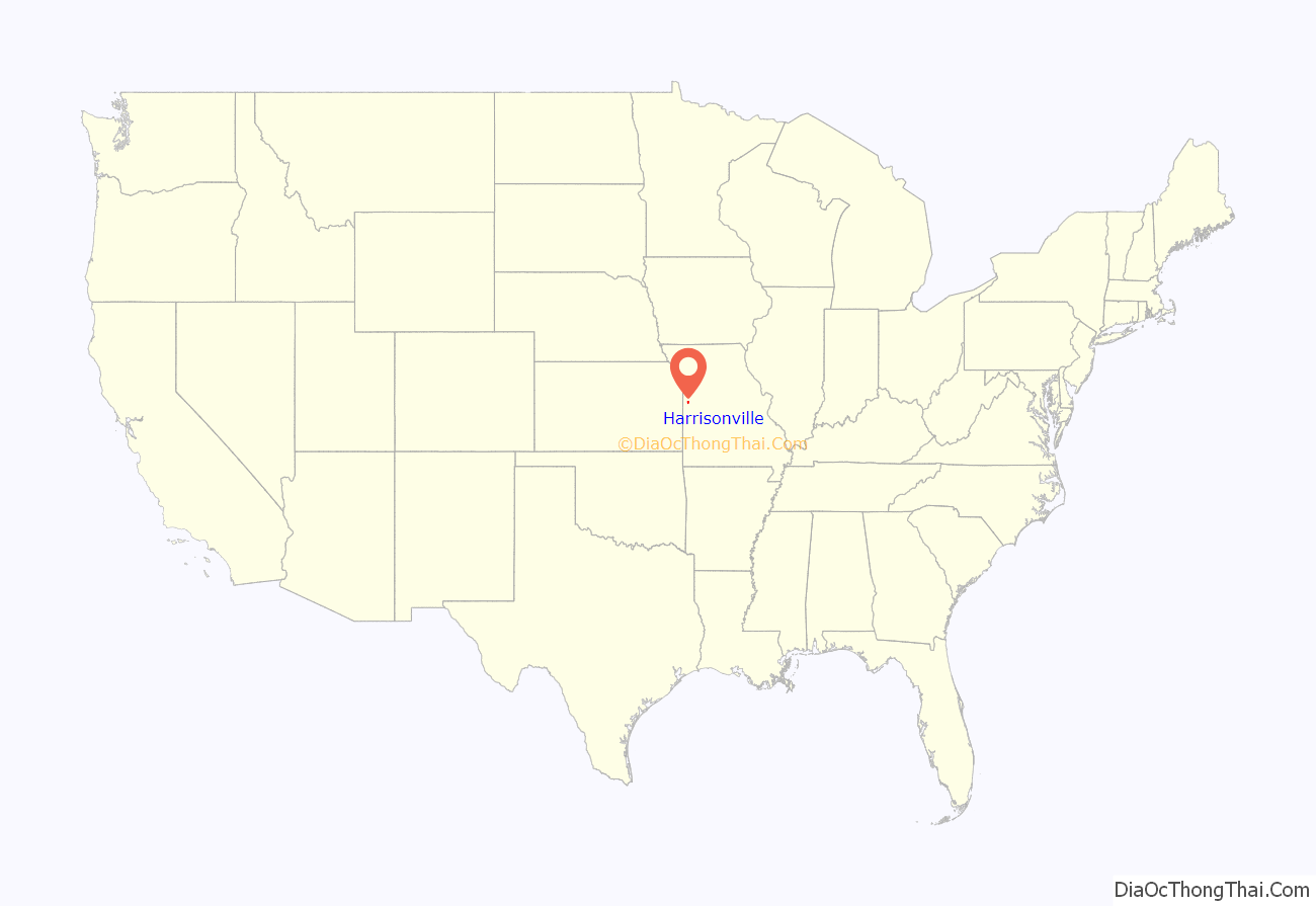
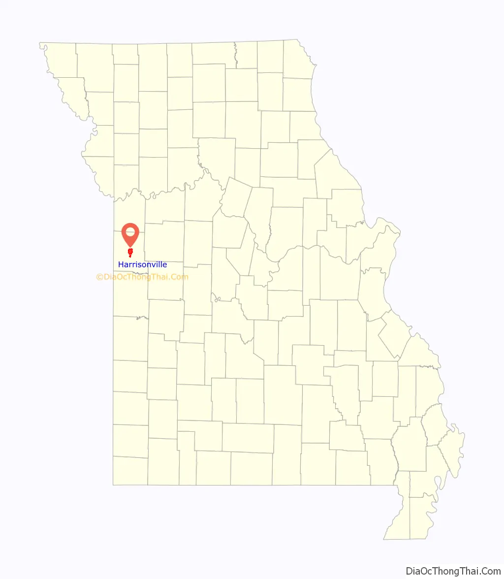
Harrisonville location map. Where is Harrisonville city?
History
Harrisonville was founded in 1837 upon land donated to Cass County by Congress for county purposes, and was named for Congressman Albert G. Harrison, who was instrumental in obtaining the land grant. The area suffered greatly during the American Civil War, though Harrisonville was one of the few places exempted in Union General Thomas Ewing’s General Order No. 11 (1863), which ordered the depopulation of three entire Missouri counties and part of a fourth.
In 1972, Harrisonville was the site of escalating tensions between a handful of mostly Vietnam veterans and town elders, which culminated in a brief rampage by 25-year-old Charlie “Ootney” Simpson. In the town square, in plain view of onlookers, he killed two police officers and a bystander before shooting himself. The victims were officers Donald Marler and Francis Wirt and local businessman Orville Allen. His motivation turned out to be personal, not political; he had saved money to buy a farm, but the seller had recently backed out of the deal, and Simpson had used the money to bail his friends out of jail.
The Robert A. Brown House, Harrisonville Courthouse Square Historic District, and St. Peter’s Episcopal Church are listed on the National Register of Historic Places.
A May 2017 report from Missouri State Auditor Nicole Galloway gave the city the lowest possible rating of “poor,” citing complex, often overlapping tax districts, contracts awarded without appropriate bidding processes and overuse of money pulled from restricted funds.
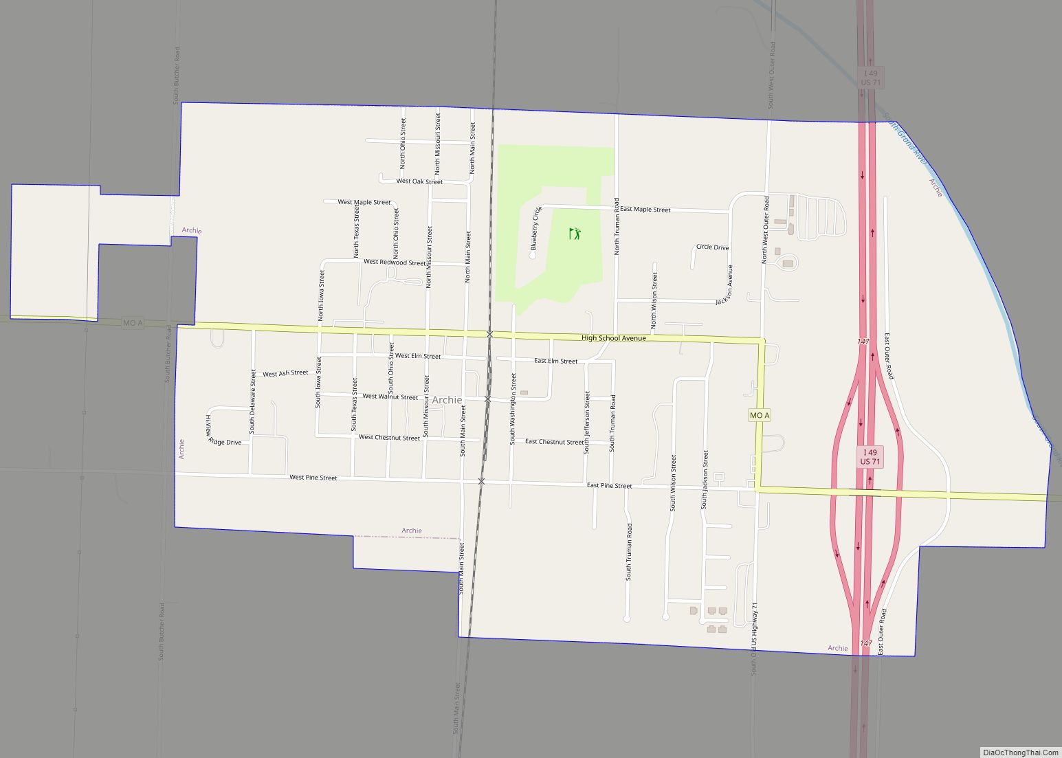
Harrisonville Road Map

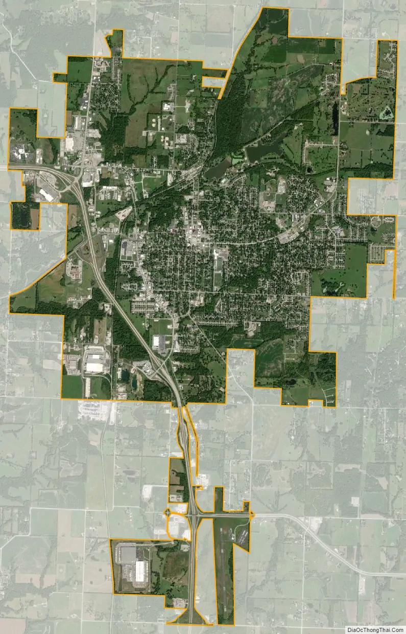
Harrisonville city Satellite Map
Geography
Harrisonville is located in central Cass County at the intersection of U.S. 71, Missouri Route 2 and Missouri Route 7.
According to the United States Census Bureau, the city has a total area of 10.01 square miles (25.93 km), of which 9.88 square miles (25.59 km) is land and 0.13 square miles (0.34 km) is water.
See also
Map of Missouri State and its subdivision:- Adair
- Andrew
- Atchison
- Audrain
- Barry
- Barton
- Bates
- Benton
- Bollinger
- Boone
- Buchanan
- Butler
- Caldwell
- Callaway
- Camden
- Cape Girardeau
- Carroll
- Carter
- Cass
- Cedar
- Chariton
- Christian
- Clark
- Clay
- Clinton
- Cole
- Cooper
- Crawford
- Dade
- Dallas
- Daviess
- De Kalb
- Dent
- Douglas
- Dunklin
- Franklin
- Gasconade
- Gentry
- Greene
- Grundy
- Harrison
- Henry
- Hickory
- Holt
- Howard
- Howell
- Iron
- Jackson
- Jasper
- Jefferson
- Johnson
- Knox
- Laclede
- Lafayette
- Lawrence
- Lewis
- Lincoln
- Linn
- Livingston
- Macon
- Madison
- Maries
- Marion
- McDonald
- Mercer
- Miller
- Mississippi
- Moniteau
- Monroe
- Montgomery
- Morgan
- New Madrid
- Newton
- Nodaway
- Oregon
- Osage
- Ozark
- Pemiscot
- Perry
- Pettis
- Phelps
- Pike
- Platte
- Polk
- Pulaski
- Putnam
- Ralls
- Randolph
- Ray
- Reynolds
- Ripley
- Saint Charles
- Saint Clair
- Saint Francois
- Saint Louis
- Sainte Genevieve
- Saline
- Schuyler
- Scotland
- Scott
- Shannon
- Shelby
- Stoddard
- Stone
- Sullivan
- Taney
- Texas
- Vernon
- Warren
- Washington
- Wayne
- Webster
- Worth
- Wright
- Alabama
- Alaska
- Arizona
- Arkansas
- California
- Colorado
- Connecticut
- Delaware
- District of Columbia
- Florida
- Georgia
- Hawaii
- Idaho
- Illinois
- Indiana
- Iowa
- Kansas
- Kentucky
- Louisiana
- Maine
- Maryland
- Massachusetts
- Michigan
- Minnesota
- Mississippi
- Missouri
- Montana
- Nebraska
- Nevada
- New Hampshire
- New Jersey
- New Mexico
- New York
- North Carolina
- North Dakota
- Ohio
- Oklahoma
- Oregon
- Pennsylvania
- Rhode Island
- South Carolina
- South Dakota
- Tennessee
- Texas
- Utah
- Vermont
- Virginia
- Washington
- West Virginia
- Wisconsin
- Wyoming