Pleasant Hill is a city in Cass and Jackson counties, Missouri, United States. The population was 8,113 at the 2010 census. It is part of the Kansas City metropolitan area.
Pleasant Hill is home for the National Weather Service Kansas City/Pleasant Hill, Missouri office, which serves 37 counties in northern and western Missouri and seven counties in extreme east-central Kansas.
| Name: | Pleasant Hill city |
|---|---|
| LSAD Code: | 25 |
| LSAD Description: | city (suffix) |
| State: | Missouri |
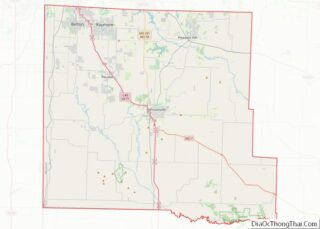
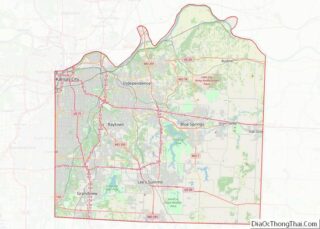
| County: | Cass County, Jackson County |
| Elevation: | 968 ft (295 m) |
| Total Area: | 8.24 sq mi (21.34 km²) |
| Land Area: | 8.07 sq mi (20.90 km²) |
| Water Area: | 0.17 sq mi (0.44 km²) |
| Total Population: | 8,777 |
| Population Density: | 1,087.74/sq mi (419.99/km²) |
| ZIP code: | 64080 |
| Area code: | 816 |
| FIPS code: | 2958394 |
| GNISfeature ID: | 2396231 |
| Website: | www.pleasanthill.com |
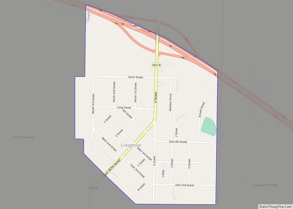
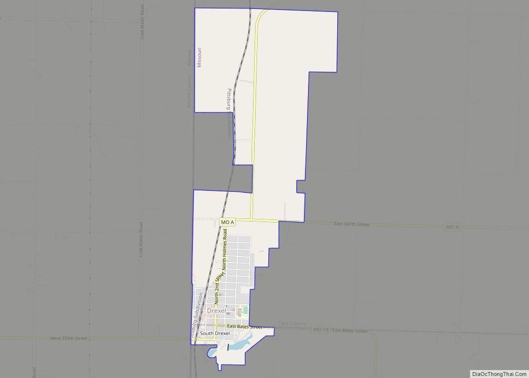
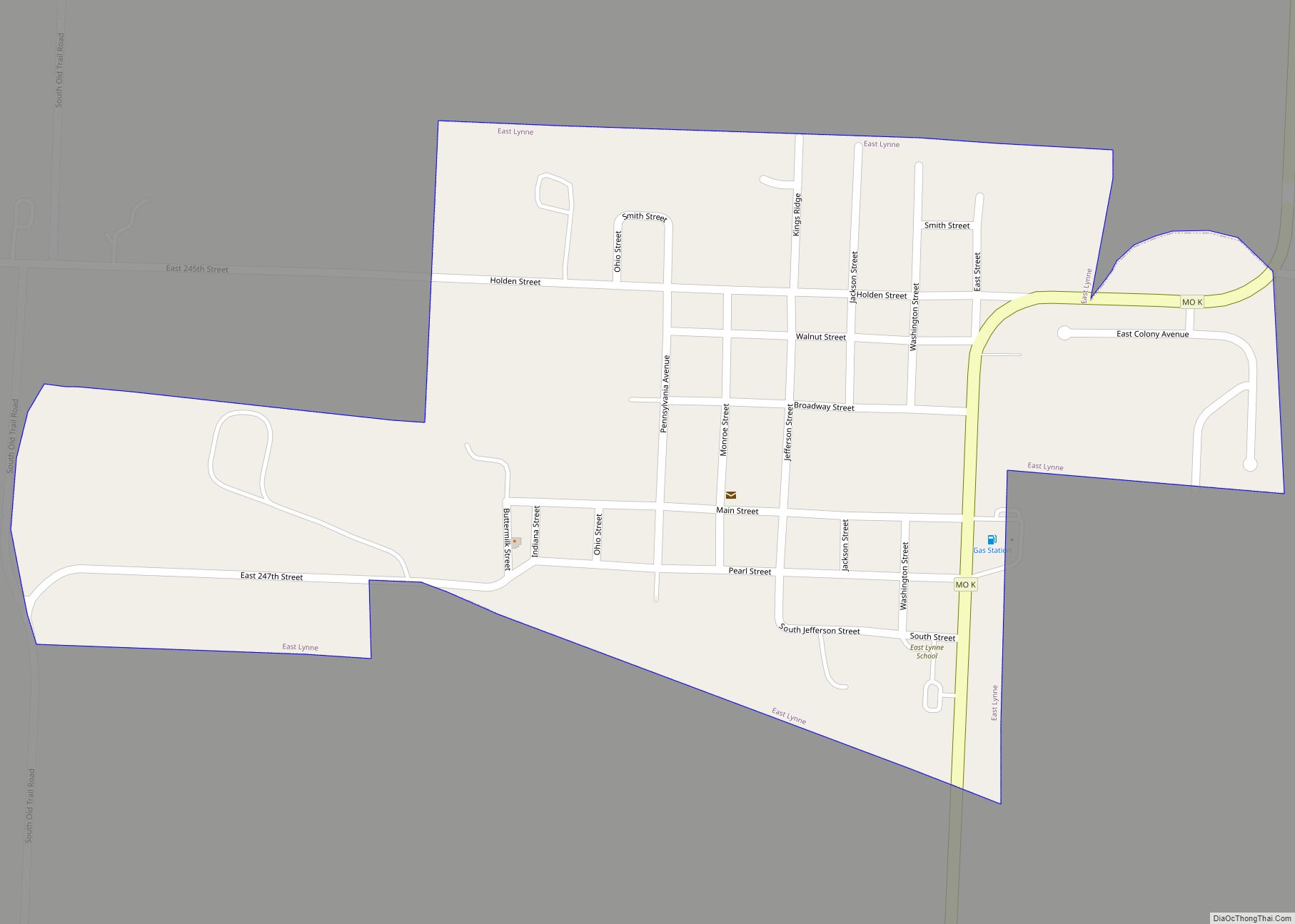
Online Interactive Map
Click on ![]() to view map in "full screen" mode.
to view map in "full screen" mode.
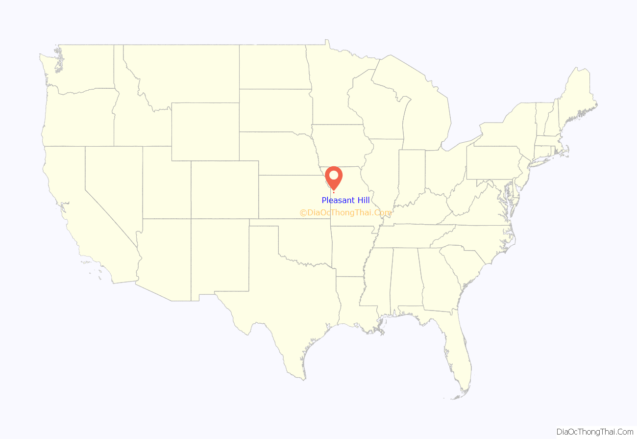
Pleasant Hill location map. Where is Pleasant Hill city?

History
Pleasant Hill was platted in 1844 by William Wright and was recorded as the “Original Town of Pleasant Hill.” Wright and Methodist circuit rider William Ferrell operated a mercantile store. The original location was on a ridge near Pleasant Hill Cemetery. The community was named after its “pleasant situation on an elevated prairie”. Wright also operated a 3-story tavern that was marked by a 12-foot high beacon atop a pole. It was an overnight stop for stagecoaches between Lexington, Missouri and Fort Scott, Kansas.
During the American Civil War and the run-up to it in the 1860s, Pleasant Hill was bitterly divided between the factions and was subject to numerous bushwhacking incidents. The most notable incidents involved the congregations of the Christian and Presbyterian churches which were built side by side on High Street. The Presbyterian Church was burnt in the process. In 1863 all residents in the area were forced to move from the community in General Order No. 11 (1863).
In 1865 after residents were able to return the city center moved one mile southwest down the hill to the railhead of the Pacific Railroad (the original town site is still within the city limits, however the area is now called “Old Town”). The new city center was lower than the original and adjoins Big Creek.
The Pleasant Hill Downtown Historic District was listed on the National Register of Historic Places in 1994.
The Pleasant Hill Historical Society Museum, outside that district, but in a building that incorporates elements of other historic buildings, is a museum covering the town’s history.
In 2016 the former Pacific Railroad line (which was later owned by the Rock Island Railroad) was converted to the western terminus of the 47-mile-long Rock Island Trail State Park (Missouri) and connects the Rails to Trails to the 240-mile-long Katy Trail State Park.
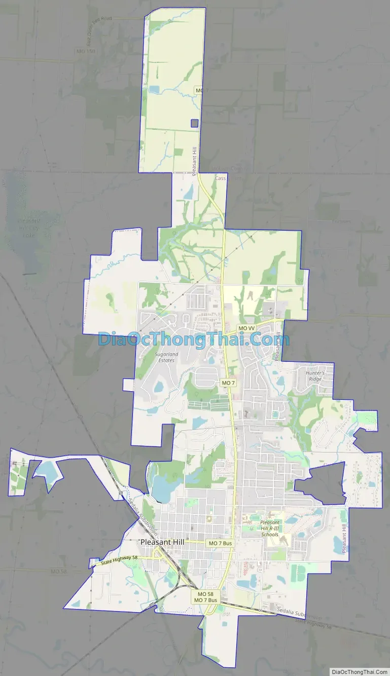
Pleasant Hill Road Map
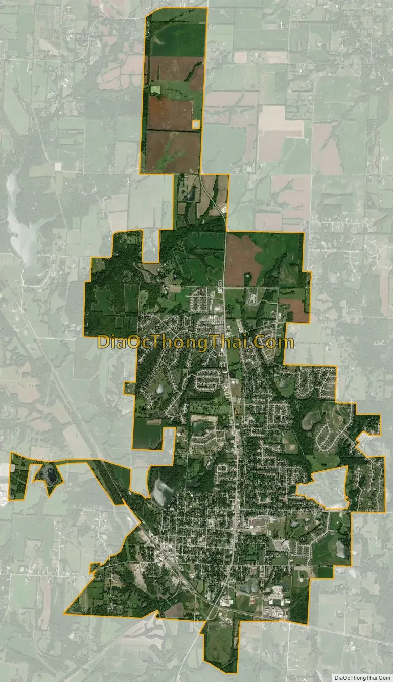
Pleasant Hill city Satellite Map
Geography
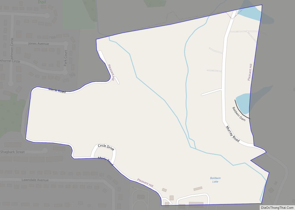
Pleasant Hill is located in northeastern Cass County at the intersection of Missouri routes 7 and 58 approximately ten miles north-northeast of Harrisonville. Lee’s Summit is ten miles to the northwest in adjacent Jackson County. Big Creek flows past the west margin of the city.
According to the United States Census Bureau, the city has a total area of 8.18 square miles (21.19 km), of which 8.01 square miles (20.75 km) is land and 0.17 square miles (0.44 km) is water.
See also
Map of Missouri State and its subdivision:- Adair
- Andrew
- Atchison
- Audrain
- Barry
- Barton
- Bates
- Benton
- Bollinger
- Boone
- Buchanan
- Butler
- Caldwell
- Callaway
- Camden
- Cape Girardeau
- Carroll
- Carter
- Cass
- Cedar
- Chariton
- Christian
- Clark
- Clay
- Clinton
- Cole
- Cooper
- Crawford
- Dade
- Dallas
- Daviess
- De Kalb
- Dent
- Douglas
- Dunklin
- Franklin
- Gasconade
- Gentry
- Greene
- Grundy
- Harrison
- Henry
- Hickory
- Holt
- Howard
- Howell
- Iron
- Jackson
- Jasper
- Jefferson
- Johnson
- Knox
- Laclede
- Lafayette
- Lawrence
- Lewis
- Lincoln
- Linn
- Livingston
- Macon
- Madison
- Maries
- Marion
- McDonald
- Mercer
- Miller
- Mississippi
- Moniteau
- Monroe
- Montgomery
- Morgan
- New Madrid
- Newton
- Nodaway
- Oregon
- Osage
- Ozark
- Pemiscot
- Perry
- Pettis
- Phelps
- Pike
- Platte
- Polk
- Pulaski
- Putnam
- Ralls
- Randolph
- Ray
- Reynolds
- Ripley
- Saint Charles
- Saint Clair
- Saint Francois
- Saint Louis
- Sainte Genevieve
- Saline
- Schuyler
- Scotland
- Scott
- Shannon
- Shelby
- Stoddard
- Stone
- Sullivan
- Taney
- Texas
- Vernon
- Warren
- Washington
- Wayne
- Webster
- Worth
- Wright
- Alabama
- Alaska
- Arizona
- Arkansas
- California
- Colorado
- Connecticut
- Delaware
- District of Columbia
- Florida
- Georgia
- Hawaii
- Idaho
- Illinois
- Indiana
- Iowa
- Kansas
- Kentucky
- Louisiana
- Maine
- Maryland
- Massachusetts
- Michigan
- Minnesota
- Mississippi
- Missouri
- Montana
- Nebraska
- Nevada
- New Hampshire
- New Jersey
- New Mexico
- New York
- North Carolina
- North Dakota
- Ohio
- Oklahoma
- Oregon
- Pennsylvania
- Rhode Island
- South Carolina
- South Dakota
- Tennessee
- Texas
- Utah
- Vermont
- Virginia
- Washington
- West Virginia
- Wisconsin
- Wyoming