Cass County is a county in the U.S. state of North Dakota. As of the 2020 United States Census, the population was 184,525. Cass County is the most populous county in North Dakota, accounting for nearly 24% of the state’s population. The county seat is Fargo, the state’s most populous city.
Cass County is part of the Fargo, ND-Moorhead, MN Metropolitan Statistical Area.
| Name: | Cass County |
|---|---|
| FIPS code: | 38-017 |
| State: | North Dakota |
| Founded: | 1873 |
| Named for: | George Washington Cass |
| Seat: | Fargo |
| Largest city: | Fargo |
| Total Area: | 1,768 sq mi (4,580 km²) |
| Land Area: | 1,765 sq mi (4,570 km²) |
| Total Population: | 184,525 |
| Population Density: | 100/sq mi (40/km²) |
| Time zone: | UTC−6 (Central) |
| Summer Time Zone (DST): | UTC−5 (CDT) |
| Website: | www.co.cass.nd.us |
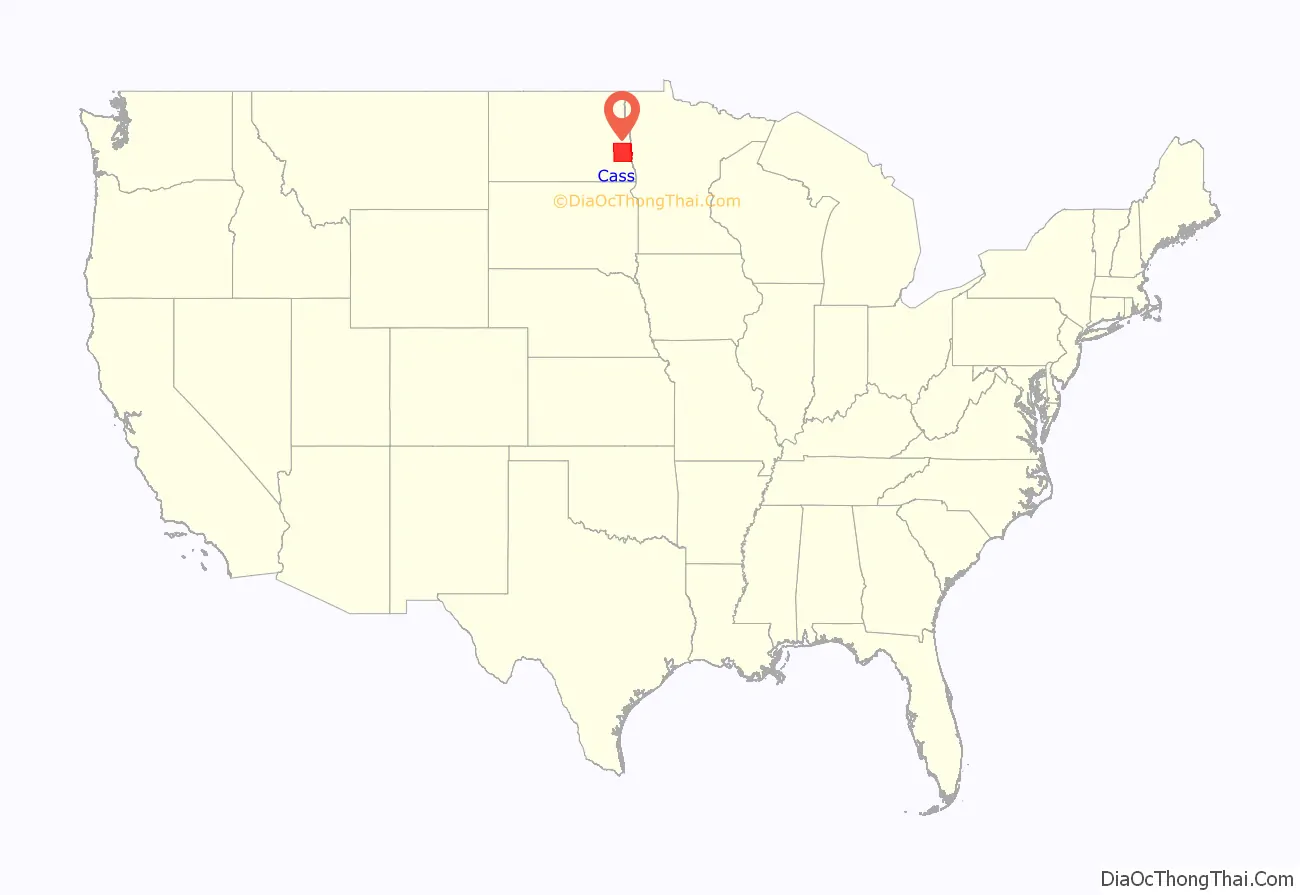
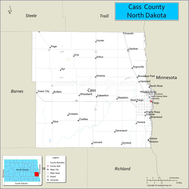
Cass County location map. Where is Cass County?
History
Cass County was defined by action of the Dakota Territory legislature on January 4, 1873, and its organization was effected on October 27 of that year. It was named for railroad executive George Washington Cass (1810 – 1888). Its boundaries were altered in 1875, and in 1961.
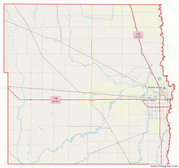
Cass County Road Map
Geography
Cass County lies on the east side of North Dakota. Its east boundary line abuts the west boundary line of the state of Minnesota across the river. The Red River flows northward along the county’s east boundary, on its way to Lake Winnipeg and Hudson Bay. The county’s terrain consists of low rolling hills, devoted to agriculture except around developed areas. Its terrain slopes to the north and east, with its highest point on the southwestern corner at 1,194′ (364m) ASL. The county has a total area of 1,768 square miles (4,580 km), of which 1,765 square miles (4,570 km) is land and 3.0 square miles (7.8 km) (0.2%) is water.
Major highways
- Interstate 29
- Interstate 94
- U.S. Highway 10
- U.S. Highway 52
- U.S. Highway 81
- North Dakota Highway 10
- North Dakota Highway 18
- North Dakota Highway 38
- North Dakota Highway 46
- North Dakota Highway 294
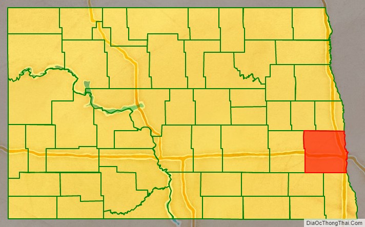
Adjacent counties
- Traill County – north
- Norman County, Minnesota – northeast
- Clay County, Minnesota – east
- Richland County – southeast
- Ransom County – southwest
- Barnes County – west
- Steele County – northwest
Lakes
Cass County has the following lakes:
- Brewer Lake
- Lake Bertha
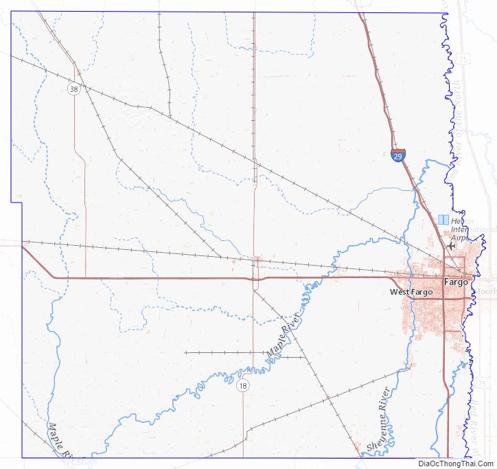
Cass County Topographic Map
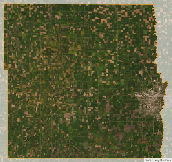
Cass County Satellite Map
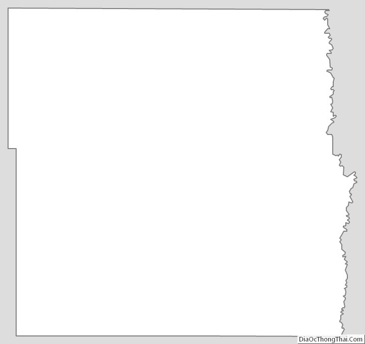
Cass County Outline Map