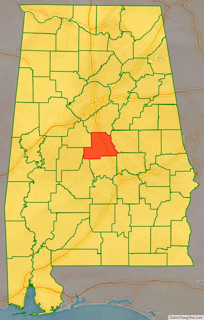
Chilton County is a county located in the central portion of the U.S. state of Alabama. As of the 2020 census, the population was 45,014. The county seat is Clanton. Its name is in honor of William Parish Chilton, Sr. (1810–1871), a lawyer who became Chief Justice of the Alabama Supreme Court and later represented Montgomery County in the Congress of the Confederate States of America.
Chilton County is included in the Birmingham–Hoover, AL Metropolitan Statistical Area.
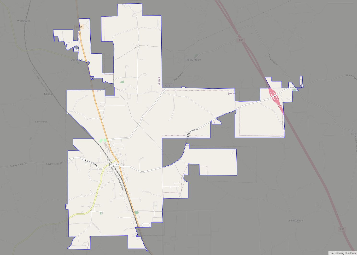
In 2010, the center of population of Alabama was located in Chilton County, near the city of Jemison, an area known as Jemison Division.
The county is known for its peaches and its unique landscape. It is home to swamps, prairies, and mountains due to the foothills of the Appalachians which end in the county, the Coosa River basin, and its proximity to the Black Belt Prairie that was long a center of cotton production.
| Name: | Chilton County |
|---|---|
| FIPS code: | 01-021 |
| State: | Alabama |
| Founded: | December 30, 1868 |
| Named for: | William Parish Chilton, Sr. |
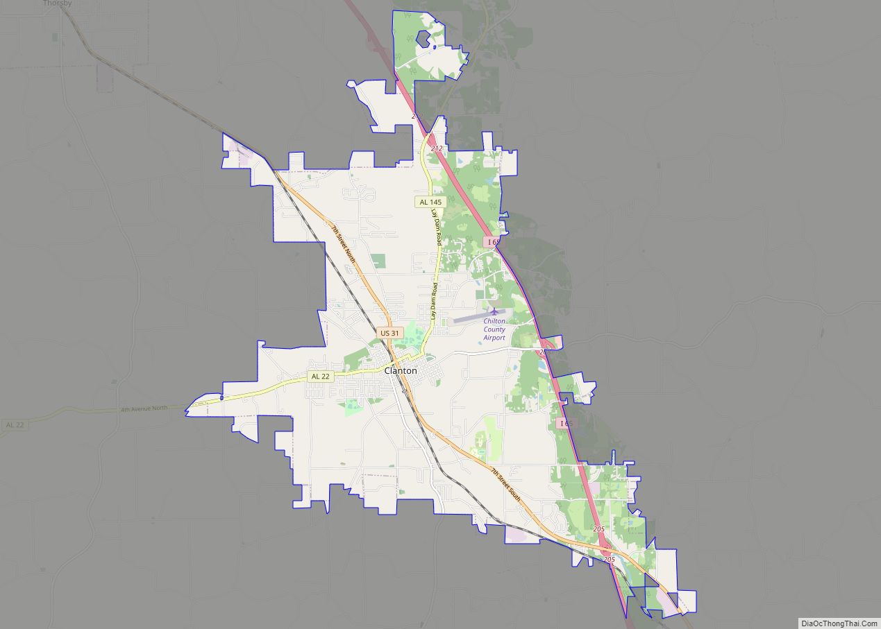
| Seat: | Clanton |
| Largest city: | Clanton |
| Total Area: | 701 sq mi (1,820 km²) |
| Land Area: | 693 sq mi (1,790 km²) |
| Total Population: | 45,014 |
| Population Density: | 64/sq mi (25/km²) |
| Time zone: | UTC−6 (Central) |
| Summer Time Zone (DST): | UTC−5 (CDT) |
| Website: | www.chiltoncounty.org |
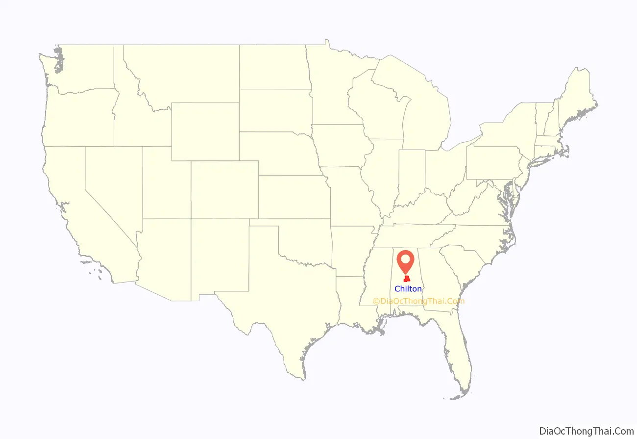
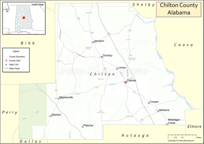
Chilton County location map. Where is Chilton County?
History
Baker County was established on December 30, 1868, named for Alfred Baker, with its county seat at Grantville. Residents of the county petitioned the Alabama legislature for the renaming of their county; it was not something forced upon them. On December 17, 1874, the petitioners accepted the suggestion of Chilton County, even though the Chief Justice had not lived within its boundaries. In 1871, the county seat was moved to what is now Clanton after the Grantville courthouse burned .
In 1942, the U.S. Navy commissioned a new vessel, the USS Chilton, in honor of Chilton County.
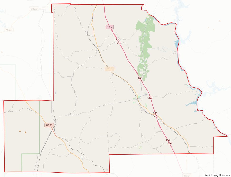
Chilton County Road Map
Geography
According to the United States Census Bureau, the county has a total area of 701 square miles (1,820 km), of which 693 square miles (1,790 km) is land and 7.9 square miles (20 km) (1.1%) is water.
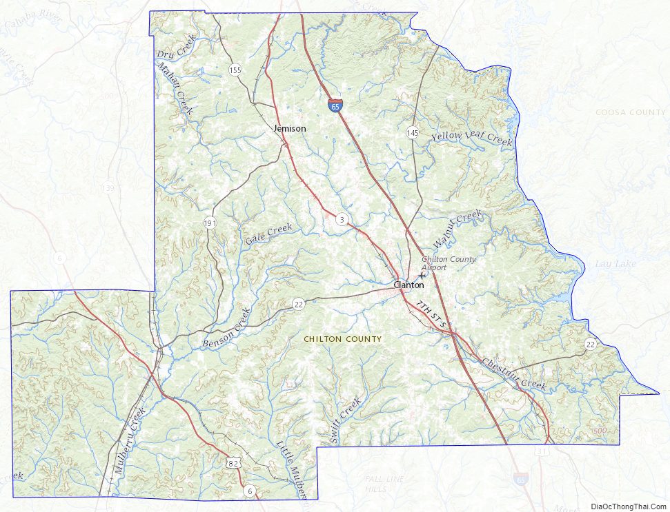
Major highways
- Interstate 65
- U.S. Highway 31
- U.S. Highway 82
- State Route 22
- State Route 139
- State Route 145
- State Route 155
- State Route 191
Adjacent counties
- Shelby County (north)
- Coosa County (east)
- Elmore County (southeast)
- Autauga County (south)
- Perry County (southwest)
- Dallas County (southwest)
- Bibb County (northwest)
National protected area
- Talladega National Forest (part)
Chilton County Topographic Map
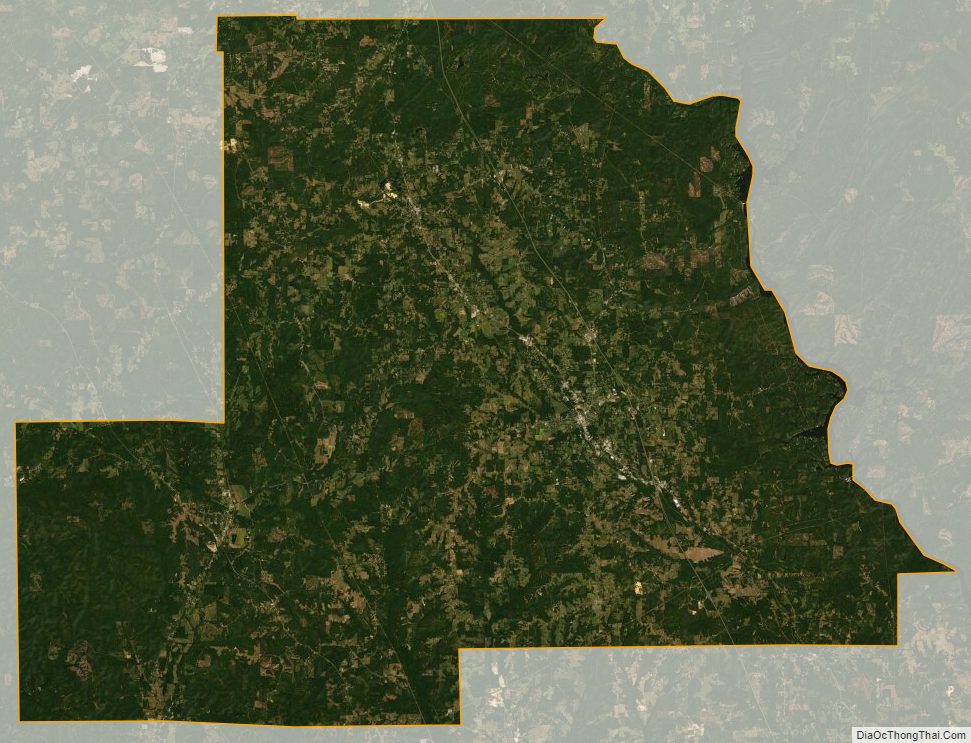
Chilton County Satellite Map
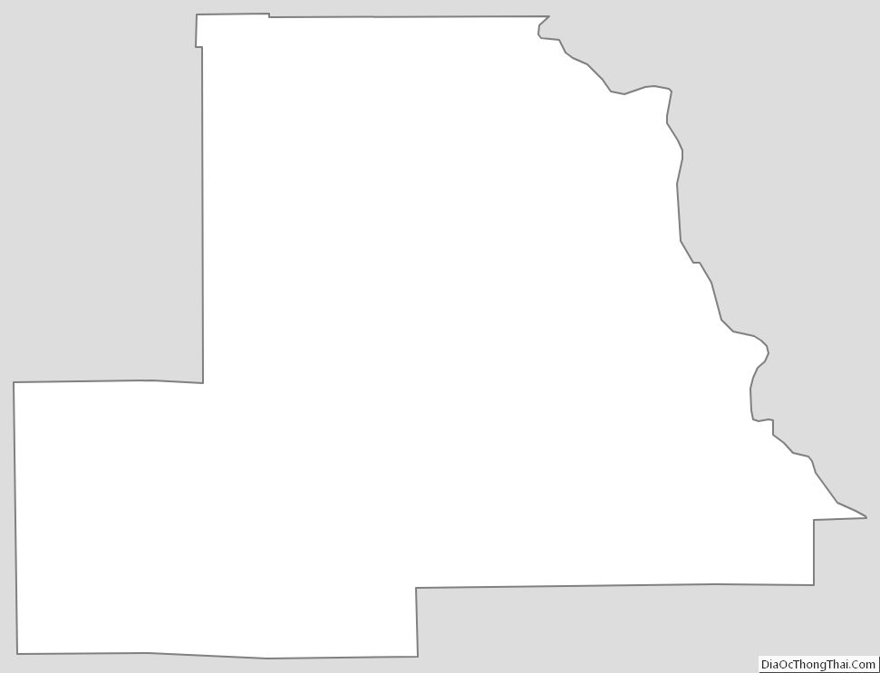
Chilton County Outline Map