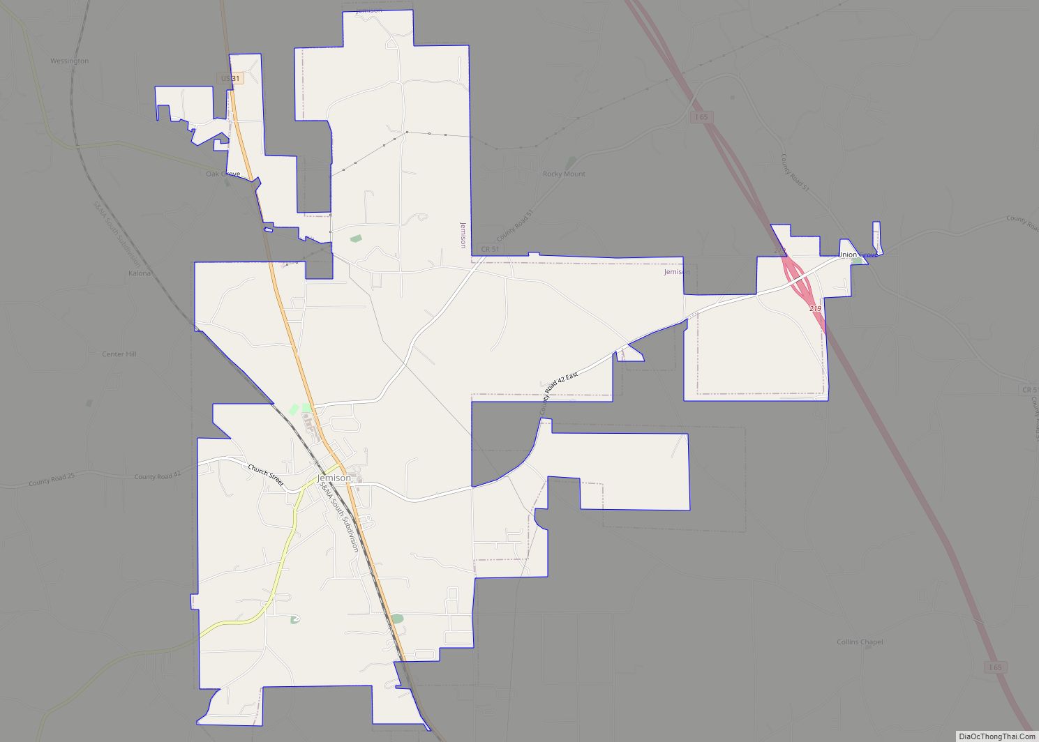
Jemison is a city in Chilton County, Alabama, United States. At the 2020 census, the population was 2,642. The center of population of Alabama is located outside of Jemison, an area known as Jemison Division.
| Name: | Jemison city |
|---|---|
| LSAD Code: | 25 |
| LSAD Description: | city (suffix) |
| State: | Alabama |
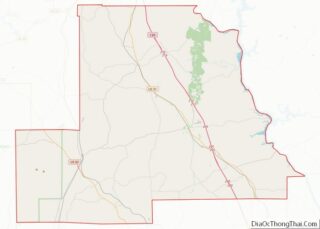
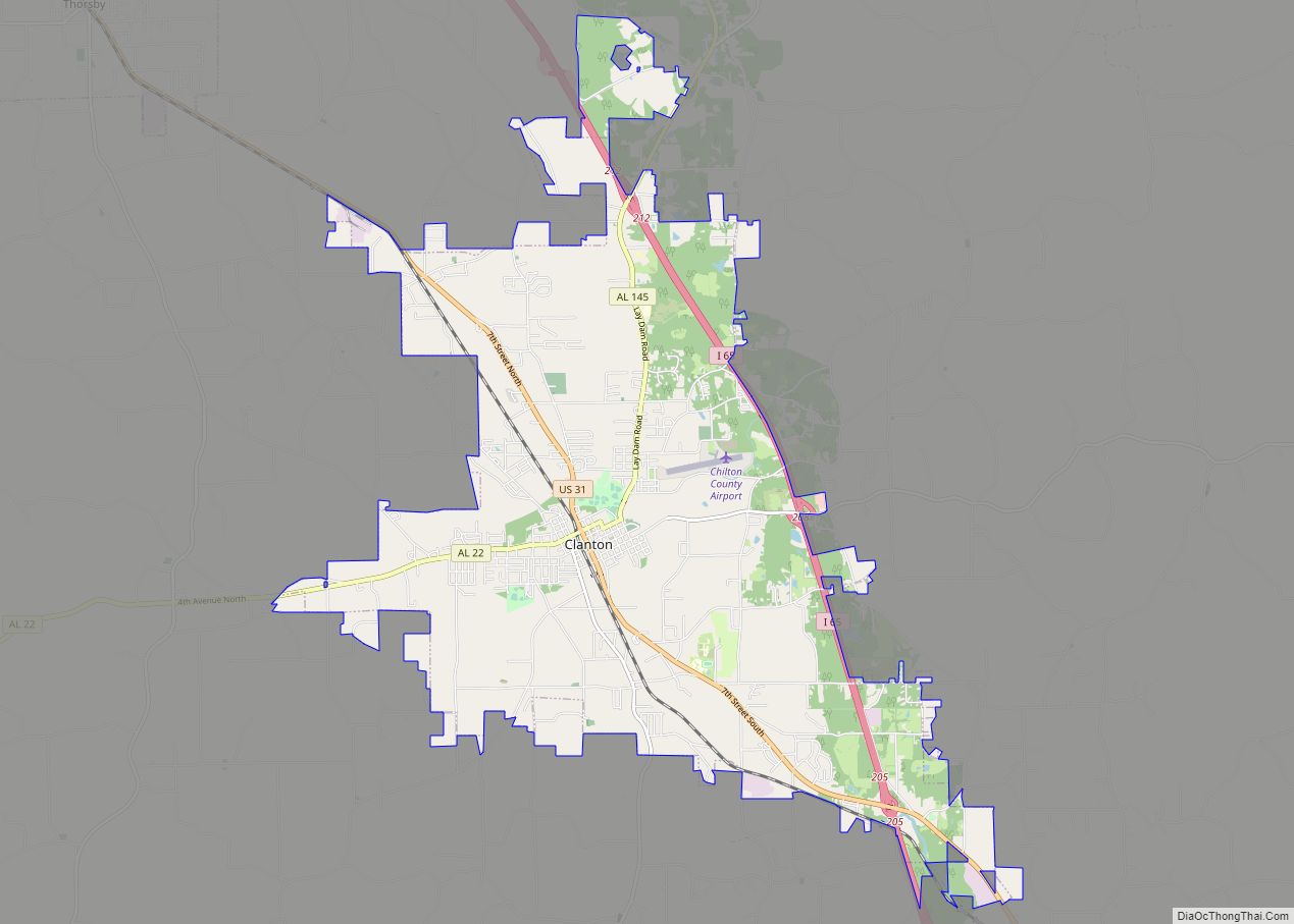
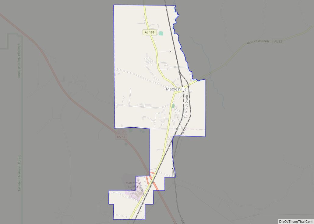
| County: | Chilton County |
| Elevation: | 719 ft (219 m) |
| Total Area: | 11.42 sq mi (29.57 km²) |
| Land Area: | 11.35 sq mi (29.38 km²) |
| Water Area: | 0.07 sq mi (0.19 km²) |
| Total Population: | 2,642 |
| Population Density: | 232.88/sq mi (89.91/km²) |
| ZIP code: | 35085 |
| Area code: | 205, 659 |
| FIPS code: | 0138608 |
| GNISfeature ID: | 0151885 |
| Website: | www.jemisonalabama.org |
Online Interactive Map
Click on ![]() to view map in "full screen" mode.
to view map in "full screen" mode.
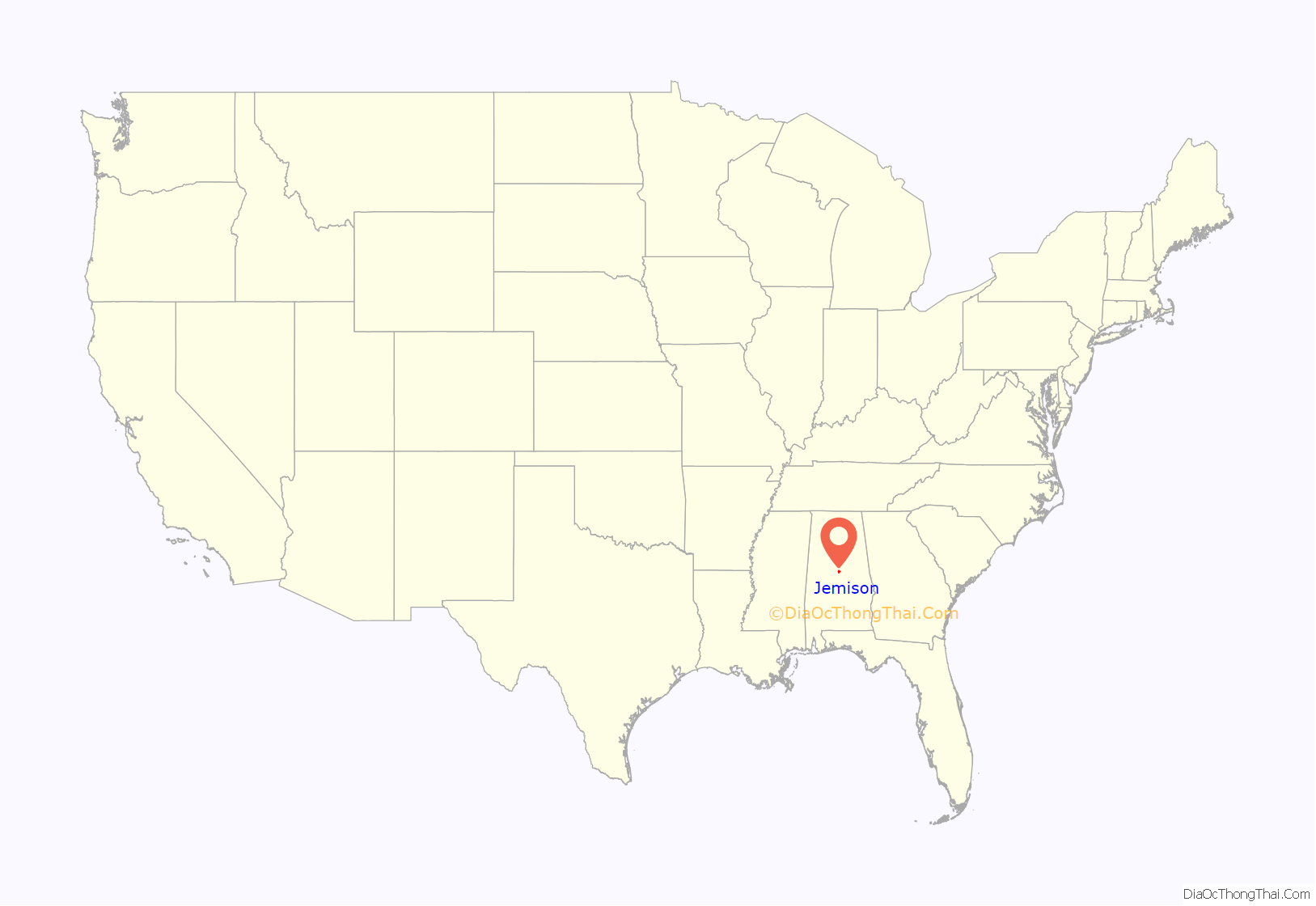
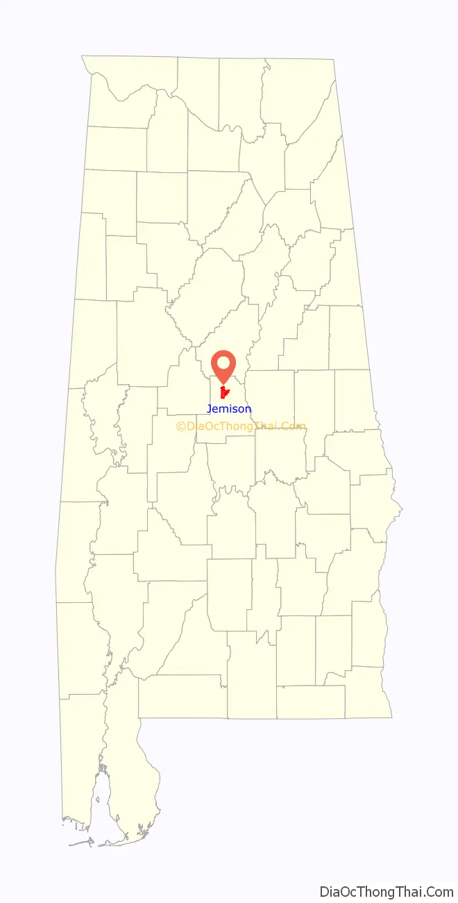
Jemison location map. Where is Jemison city?
History
Jemison is located at the geological end of the Appalachians and was originally inhabited by the Creek Indians for the springs located in the area. In 1869, R.J. Langston built the first house in area and it was made famous by stagecoach drivers who would stop to rest on their travels between North and South Alabama, calling the area Langston Station, or Langstonville, later known as “Jemison Springs”, and finally, Jemison. Population began growing by 1870 after the completion of the railroad passing through the town as part of the L&N Railroad. Construction originally began on the railroad in February 1854, but was halted then destroyed due to the Civil War.
Responsible for building the segment of track that would run through Langston Station, Col. John T. Milner suggested the name “Jemison” for the area, after the successful Tuscaloosa businessman, Col. Robert Jemison, who based a stagecoach line in Langston Station. Col. Jemison was also responsible for much of the construction of the Alabama-Chattanooga Railroad. in 1870 a post office was established, and the city of Jemison would be incorporated once in 1907, then reincorporated with a new charter in 1919.
Jemison Road Map
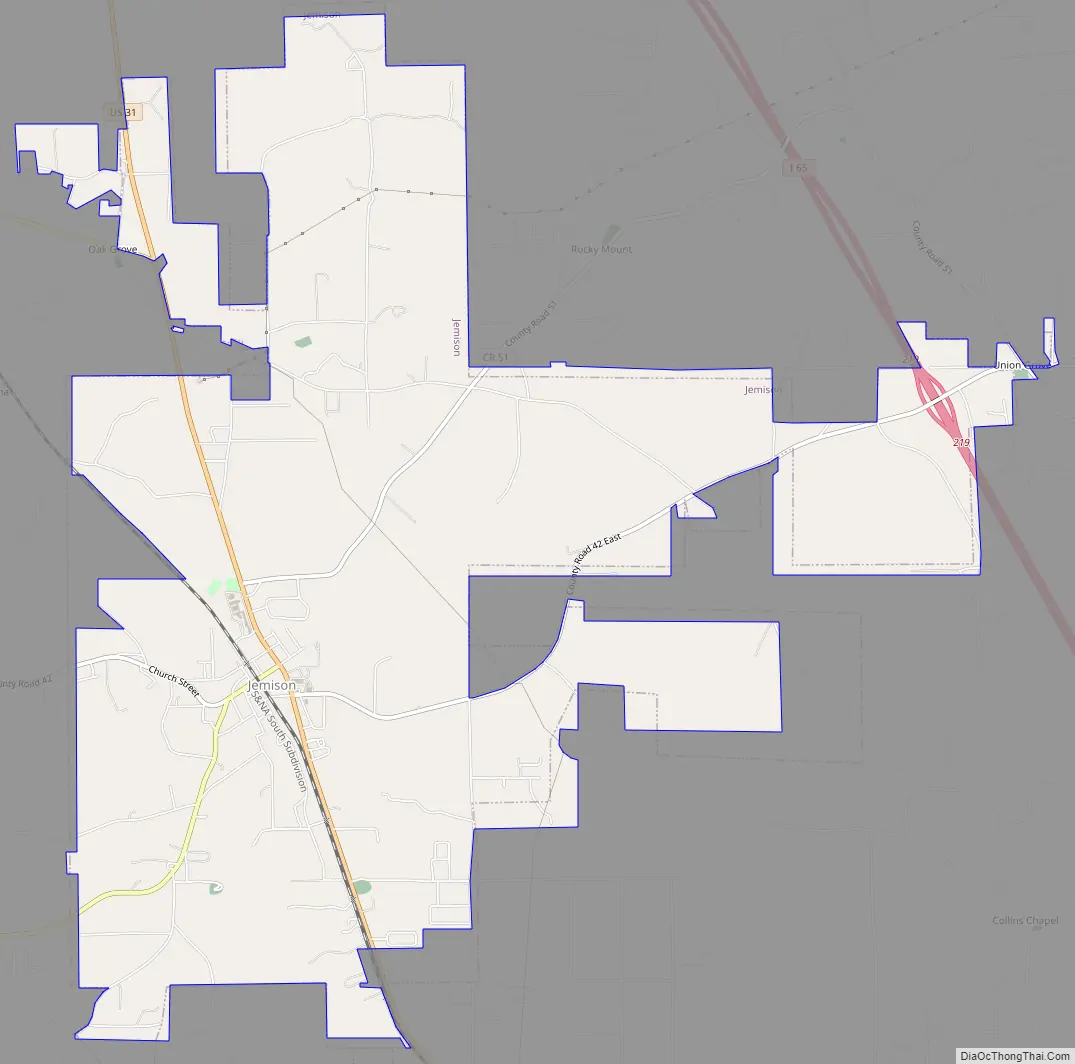
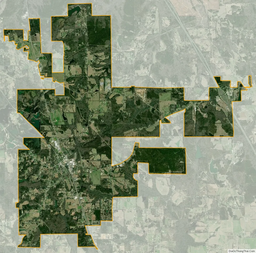
Jemison city Satellite Map
Geography
Jemison is located in northern Chilton County at 32°57’31.792″ North, 86°44’36.841″ West (32.958831, -86.743567).
According to the U.S. Census Bureau, the town has a total area of 11.3 square miles (29.2 km), of which 11.2 square miles (29.0 km) is land and 0.077 square miles (0.2 km), or 0.65%, is water.
See also
Map of Alabama State and its subdivision:- Autauga
- Baldwin
- Barbour
- Bibb
- Blount
- Bullock
- Butler
- Calhoun
- Chambers
- Cherokee
- Chilton
- Choctaw
- Clarke
- Clay
- Cleburne
- Coffee
- Colbert
- Conecuh
- Coosa
- Covington
- Crenshaw
- Cullman
- Dale
- Dallas
- De Kalb
- Elmore
- Escambia
- Etowah
- Fayette
- Franklin
- Geneva
- Greene
- Hale
- Henry
- Houston
- Jackson
- Jefferson
- Lamar
- Lauderdale
- Lawrence
- Lee
- Limestone
- Lowndes
- Macon
- Madison
- Marengo
- Marion
- Marshall
- Mobile
- Monroe
- Montgomery
- Morgan
- Perry
- Pickens
- Pike
- Randolph
- Russell
- Saint Clair
- Shelby
- Sumter
- Talladega
- Tallapoosa
- Tuscaloosa
- Walker
- Washington
- Wilcox
- Winston
- Alabama
- Alaska
- Arizona
- Arkansas
- California
- Colorado
- Connecticut
- Delaware
- District of Columbia
- Florida
- Georgia
- Hawaii
- Idaho
- Illinois
- Indiana
- Iowa
- Kansas
- Kentucky
- Louisiana
- Maine
- Maryland
- Massachusetts
- Michigan
- Minnesota
- Mississippi
- Missouri
- Montana
- Nebraska
- Nevada
- New Hampshire
- New Jersey
- New Mexico
- New York
- North Carolina
- North Dakota
- Ohio
- Oklahoma
- Oregon
- Pennsylvania
- Rhode Island
- South Carolina
- South Dakota
- Tennessee
- Texas
- Utah
- Vermont
- Virginia
- Washington
- West Virginia
- Wisconsin
- Wyoming