Hoover is a city in Jefferson and Shelby counties in north central Alabama, United States. Hoover is the largest suburban city in Alabama and the 6th largest city in Alabama. The city had a population of 92,606 as of the 2020 US Census. Hoover is part of the Birmingham-Hoover, AL Metropolitan Statistical Area and is also included in the Birmingham-Hoover-Talladega, AL Combined Statistical Area. Hoover’s territory is along the foothills of the Appalachian Mountains.
The Birmingham Barons Minor League Baseball team, which traces its history to 1885, played its home games at the 10,800-seat Hoover Metropolitan Stadium until 2013, when it moved to Regions Field in the Parkside District of Birmingham.
| Name: | Hoover city |
|---|---|
| LSAD Code: | 25 |
| LSAD Description: | city (suffix) |
| State: | Alabama |
| County: | Jefferson County, Shelby County |
| Elevation: | 492 ft (150 m) |
| Land Area: | 48.07 sq mi (124.50 km²) |
| Water Area: | 0.97 sq mi (2.51 km²) |
| Population Density: | 1,926.48/sq mi (743.81/km²) |
| ZIP code: | 35216, 35226, 35236, 35242, 35244 |
| Area code: | 205 & 659 |
| FIPS code: | 0135896 |
| GNISfeature ID: | 2404725 |
| Website: | hooveralabama.gov |
Online Interactive Map
Click on ![]() to view map in "full screen" mode.
to view map in "full screen" mode.
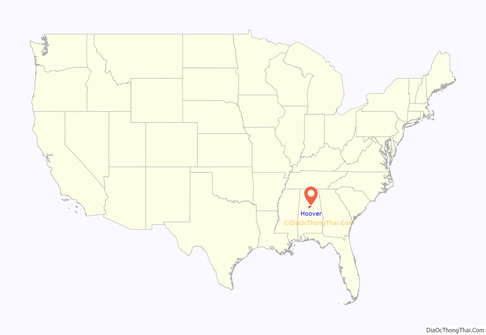
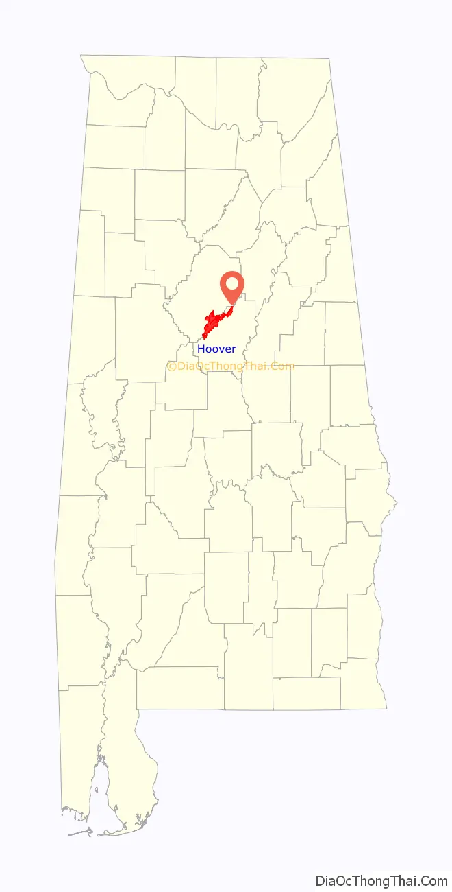
Hoover location map. Where is Hoover city?
History
This suburban area near the foothills of the Appalachian Mountains had been known as the Green Valley community since the 1930s; it was mostly a bedroom or residential community into the late 1970s and early 1980s. The City of Hoover was incorporated in 1967, named for William H. Hoover (1890 – 1979), a local insurance company owner.
On September 8, 1980, the city annexed the Riverchase business and residential community, gaining large office buildings, employers, and workers to increase the city’s tax base. When Interstate I-459 was opened, a major interchange with Interstate I-65 was constructed within the borders of Hoover, improving access.
In 1986 the Riverchase Galleria multi-use complex opened; it has significantly increased the tax revenue for the city. It has also attracted new residents and businesses to the area. The city has grown extremely fast, aided by its annexations of territory as well as new developments. The city has expanded its facilities, and now operates a Municipal Center, Library, and Public Safety Center. The city expects to continue to increase in population, which has risen significantly since 2008. It numbered 81,619 as of the 2010 Census.
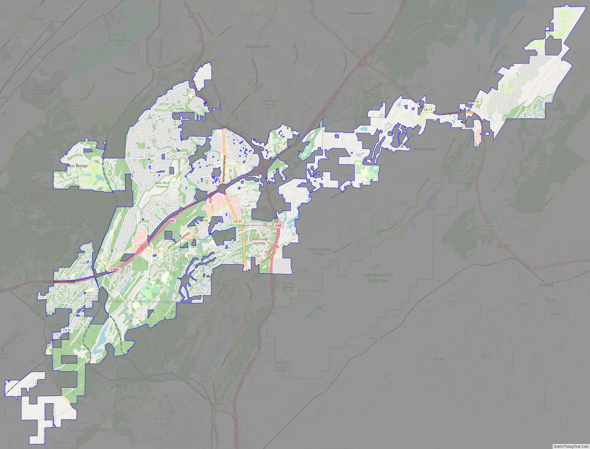
Hoover Road Map
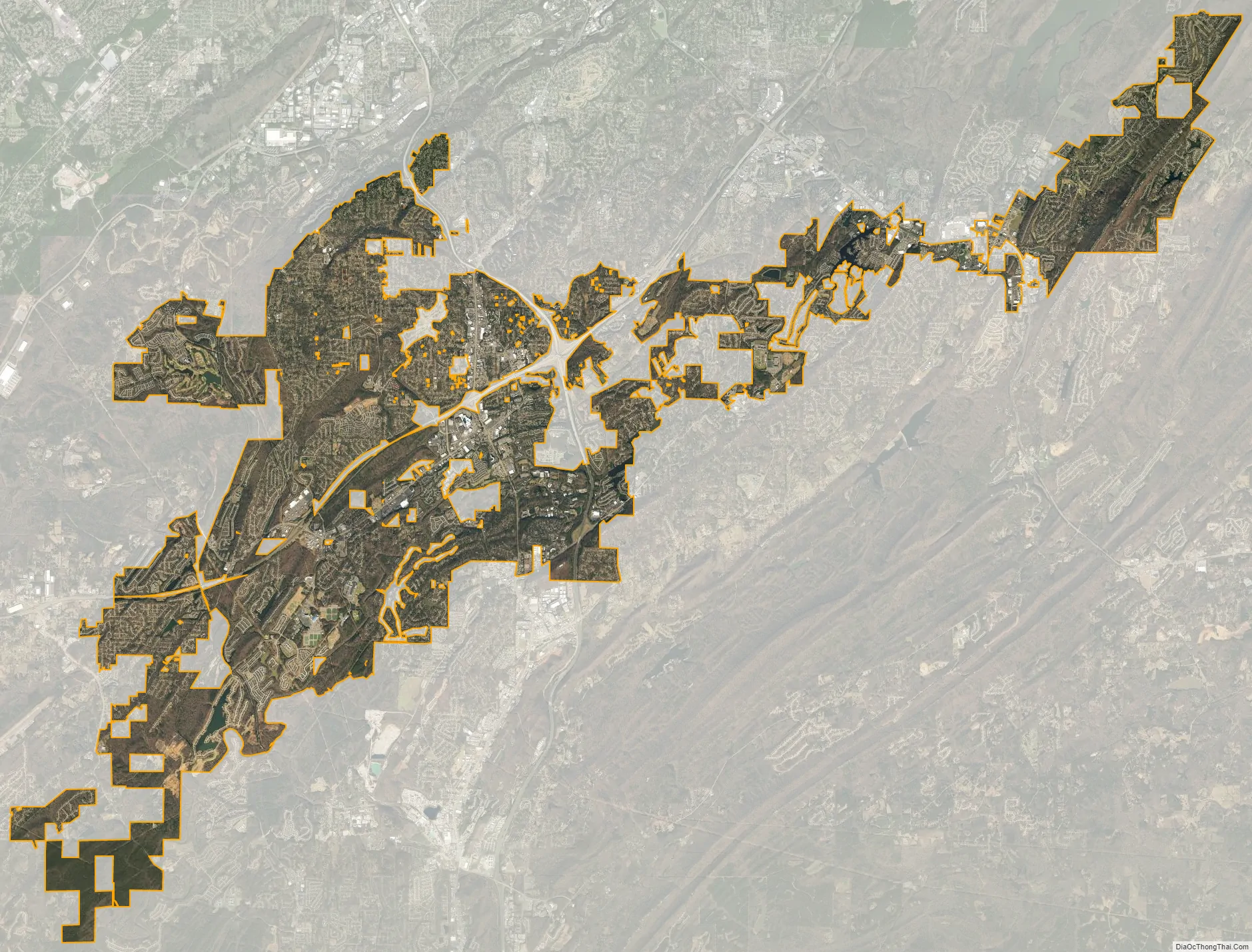
Hoover city Satellite Map
Geography
Hoover is located at 33°23′11″N 86°48′18″W / 33.386435°N 86.804938°W / 33.386435; -86.804938.
According to the U.S. Census Bureau, the city has a total area of 43.65 square miles (113.1 km), of which 43.13 square miles (111.7 km) is land and 0.51 square miles (1.3 km) (1.17%) is water.
Many major highways pass through the city limits, including I-65, I-459, and U.S. Route 31. Via I-65 or US-31, downtown Birmingham is 11 mi (18 km) north, and Montgomery is 82 mi (132 km) south. Via I-459, Atlanta, GA is 152 mi (245 km) east, and Tuscaloosa is 53 mi (85 km) west.
See also
Map of Alabama State and its subdivision:- Autauga
- Baldwin
- Barbour
- Bibb
- Blount
- Bullock
- Butler
- Calhoun
- Chambers
- Cherokee
- Chilton
- Choctaw
- Clarke
- Clay
- Cleburne
- Coffee
- Colbert
- Conecuh
- Coosa
- Covington
- Crenshaw
- Cullman
- Dale
- Dallas
- De Kalb
- Elmore
- Escambia
- Etowah
- Fayette
- Franklin
- Geneva
- Greene
- Hale
- Henry
- Houston
- Jackson
- Jefferson
- Lamar
- Lauderdale
- Lawrence
- Lee
- Limestone
- Lowndes
- Macon
- Madison
- Marengo
- Marion
- Marshall
- Mobile
- Monroe
- Montgomery
- Morgan
- Perry
- Pickens
- Pike
- Randolph
- Russell
- Saint Clair
- Shelby
- Sumter
- Talladega
- Tallapoosa
- Tuscaloosa
- Walker
- Washington
- Wilcox
- Winston
- Alabama
- Alaska
- Arizona
- Arkansas
- California
- Colorado
- Connecticut
- Delaware
- District of Columbia
- Florida
- Georgia
- Hawaii
- Idaho
- Illinois
- Indiana
- Iowa
- Kansas
- Kentucky
- Louisiana
- Maine
- Maryland
- Massachusetts
- Michigan
- Minnesota
- Mississippi
- Missouri
- Montana
- Nebraska
- Nevada
- New Hampshire
- New Jersey
- New Mexico
- New York
- North Carolina
- North Dakota
- Ohio
- Oklahoma
- Oregon
- Pennsylvania
- Rhode Island
- South Carolina
- South Dakota
- Tennessee
- Texas
- Utah
- Vermont
- Virginia
- Washington
- West Virginia
- Wisconsin
- Wyoming


