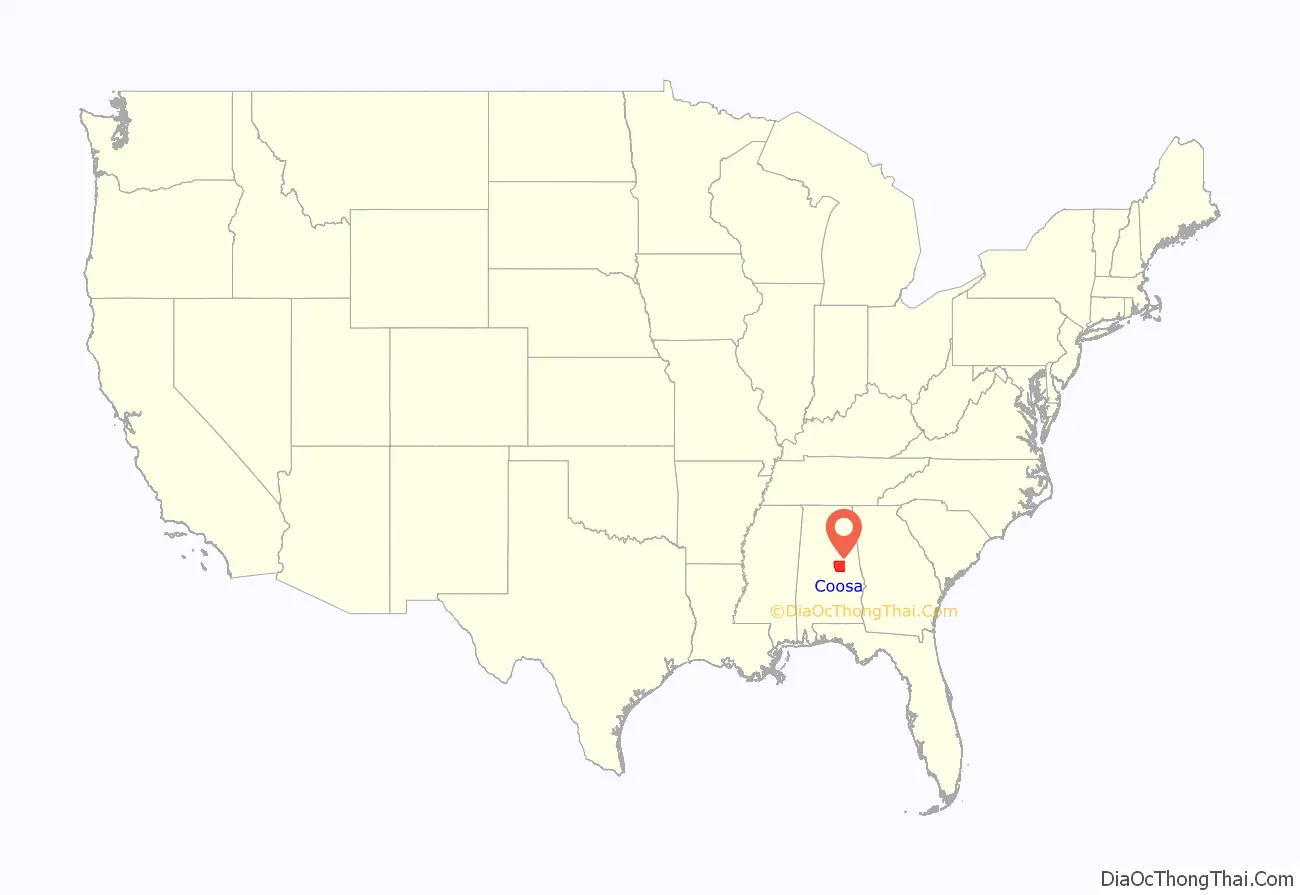
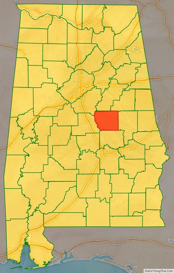
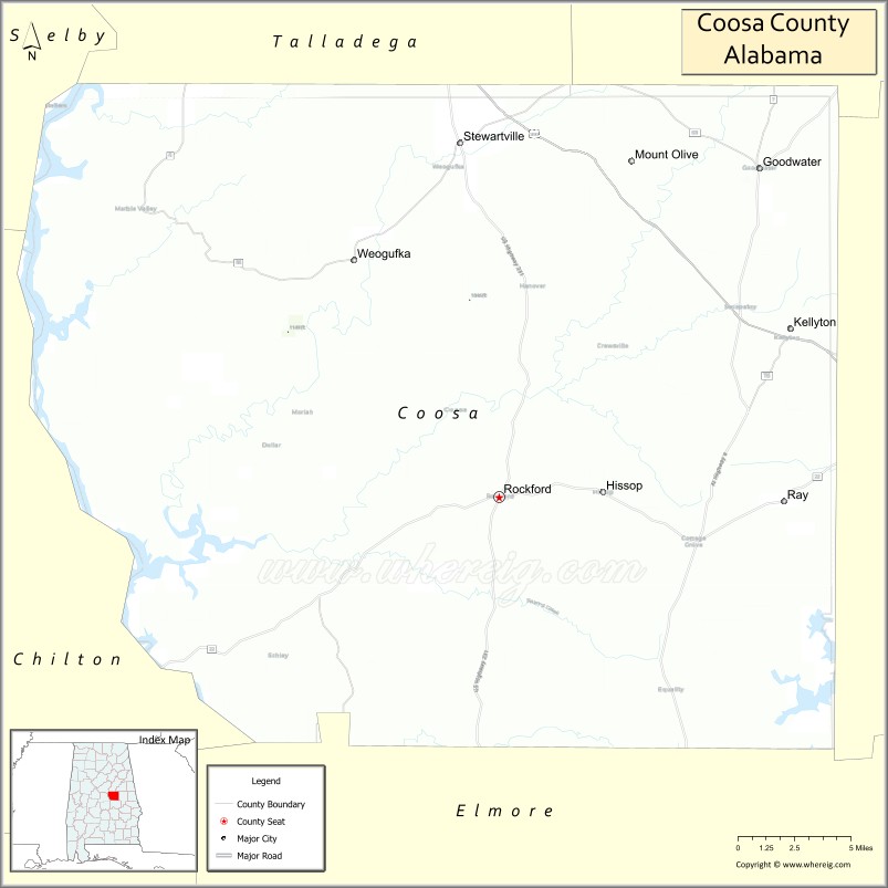
Coosa County is located in the east central portion of the U.S. state of Alabama. As of the 2020 census the population was 10,387. Its county seat is Rockford. Its name derives from a town of the Creek tribe and the Coosa River, which forms one of the county borders.
Coosa County is included in the Talladega–Sylacauga, AL Micropolitan Statistical Area, which is also included in the Birmingham–Hoover-Talladega, AL Combined Statistical Area.
| Name: | Coosa County |
|---|---|
| FIPS code: | 01-037 |
| State: | Alabama |
| Founded: | December 18, 1832 |
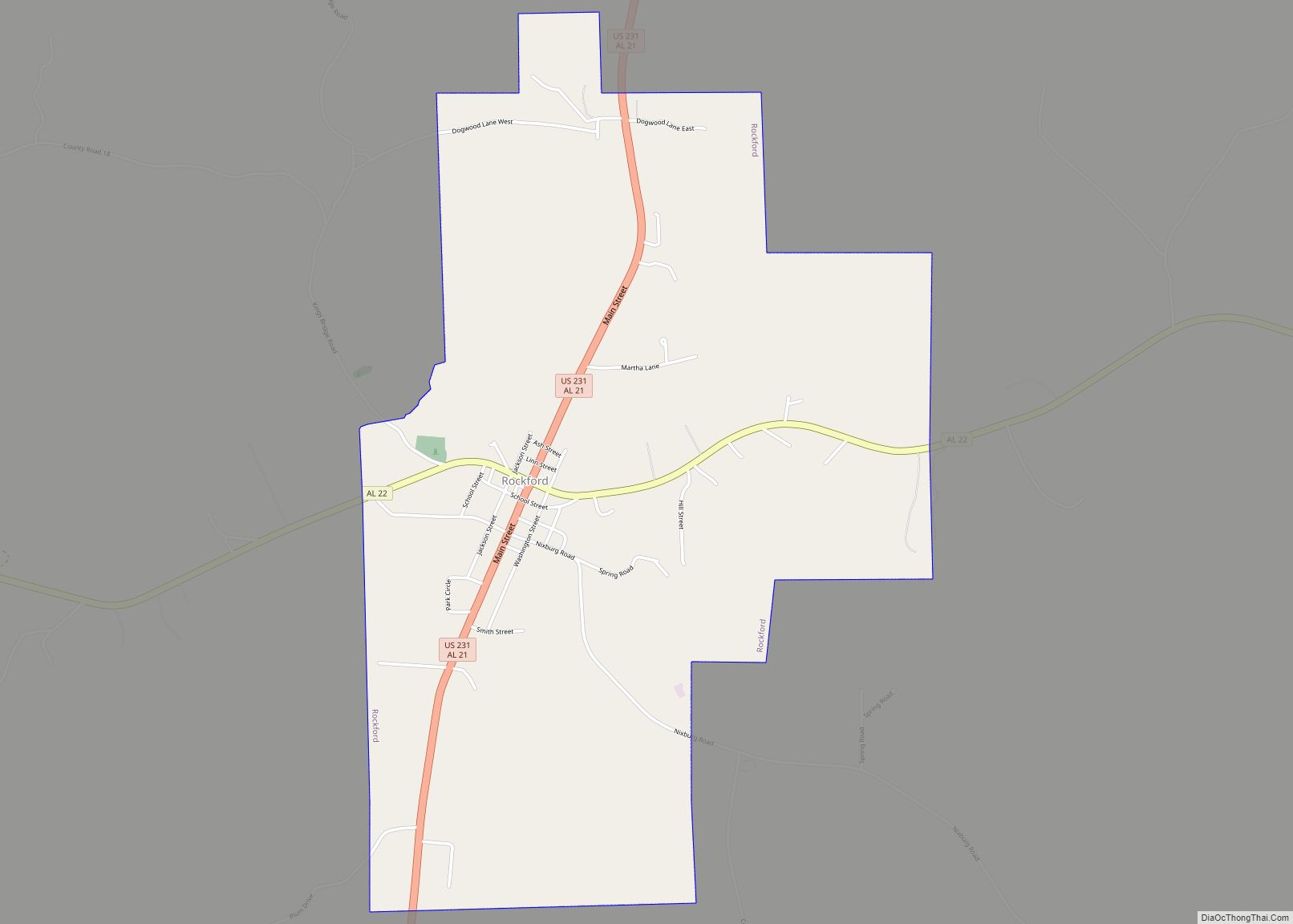
| Seat: | Rockford |
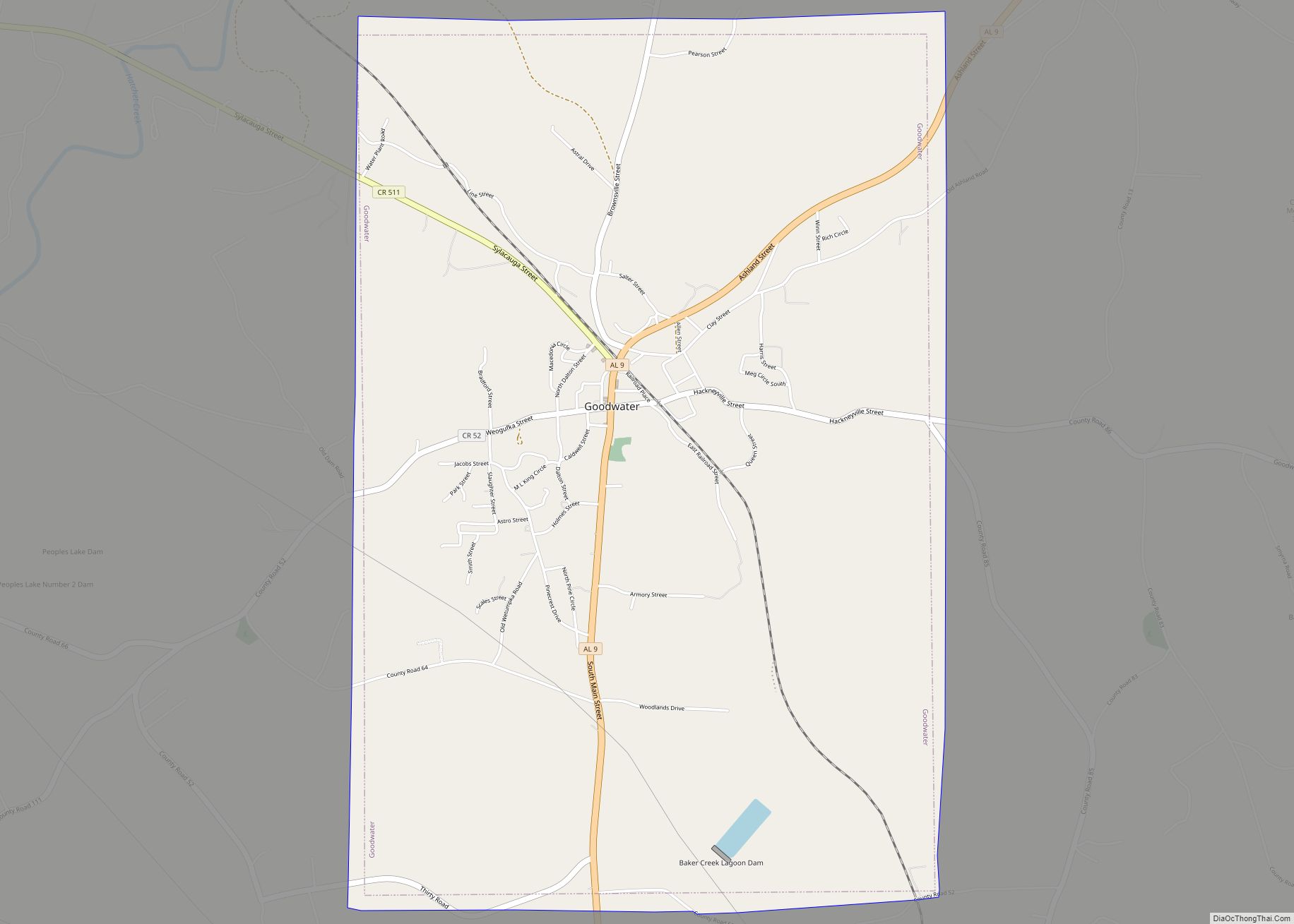
| Largest city: | Goodwater |
| Total Area: | 666 sq mi (1,720 km²) |
| Land Area: | 651 sq mi (1,690 km²) |
| Total Population: | 10,387 |
| Population Density: | 16/sq mi (6.0/km²) |
| Time zone: | UTC−6 (Central) |
| Summer Time Zone (DST): | UTC−5 (CDT) |
| Website: | www.coosacountyal.com |
Coosa County location map. Where is Coosa County?
History
The county was established on December 18, 1832, formed from parts of Montgomery and Shelby counties. It gained a small snippet from Montgomery County in 1837 and lost a portion to the south upon the creation of Elmore County in 1866.
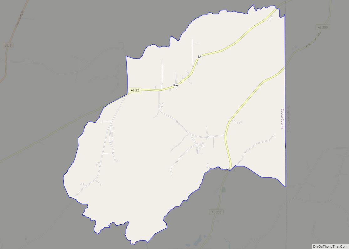
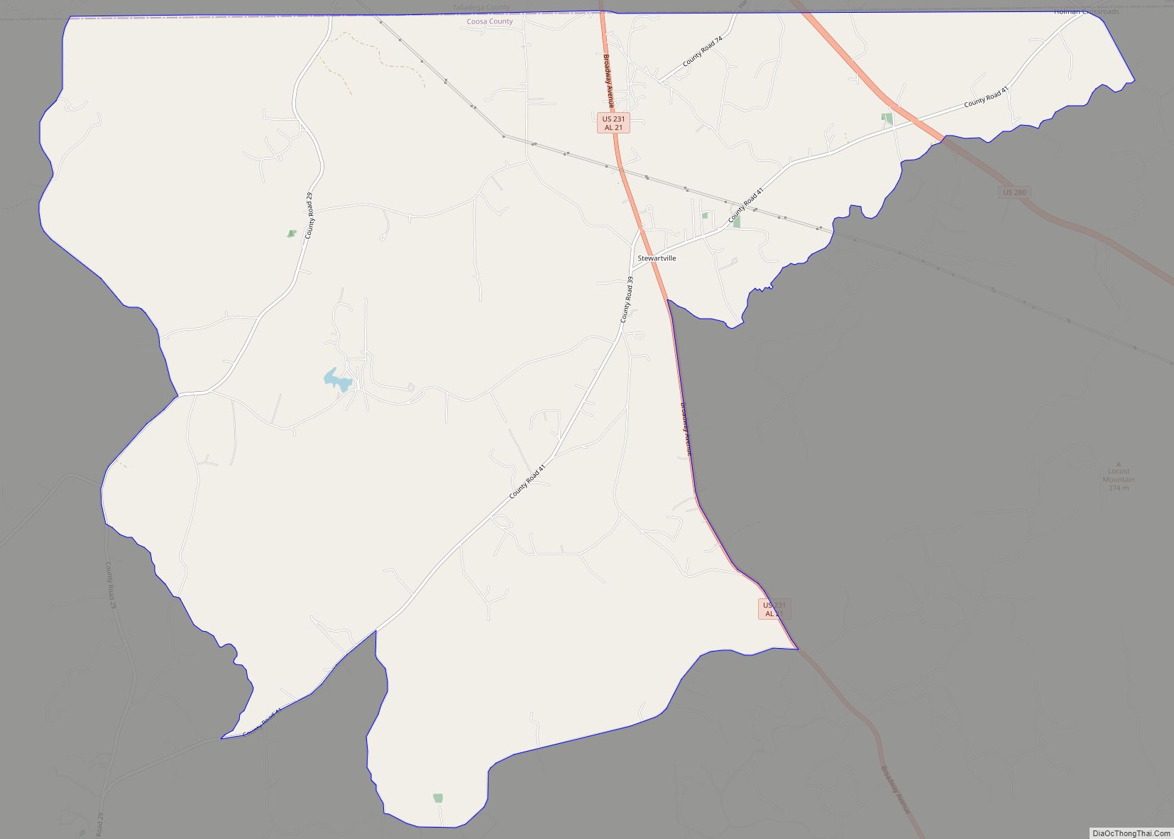
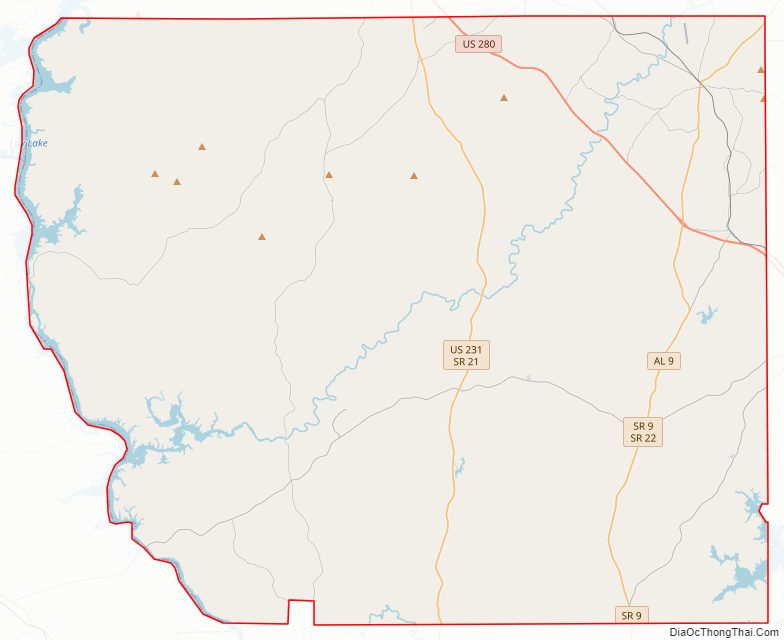
Coosa County Road Map
Geography
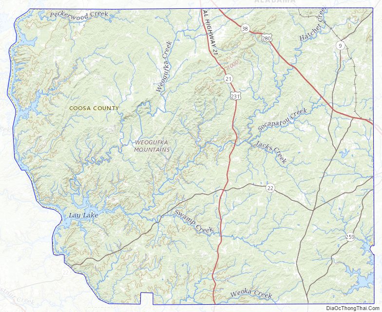
According to the United States Census Bureau, the county has a total area of 666 square miles (1,720 km), of which 651 square miles (1,690 km) is land and 15 square miles (39 km) (2.3%) is water. The county is located in the Piedmont region of the state.
Major Highways
- U.S. Highway 231
- U.S. Highway 280
- Alabama State Route 9
- Alabama State Route 22
- Alabama State Route 115
- Alabama State Route 259
Adjacent Counties
- Talladega County (north)
- Clay County (northeast)
- Tallapoosa County (east)
- Elmore County (south)
- Chilton County (west)
- Shelby County (northwest)
Coosa County Topographic Map
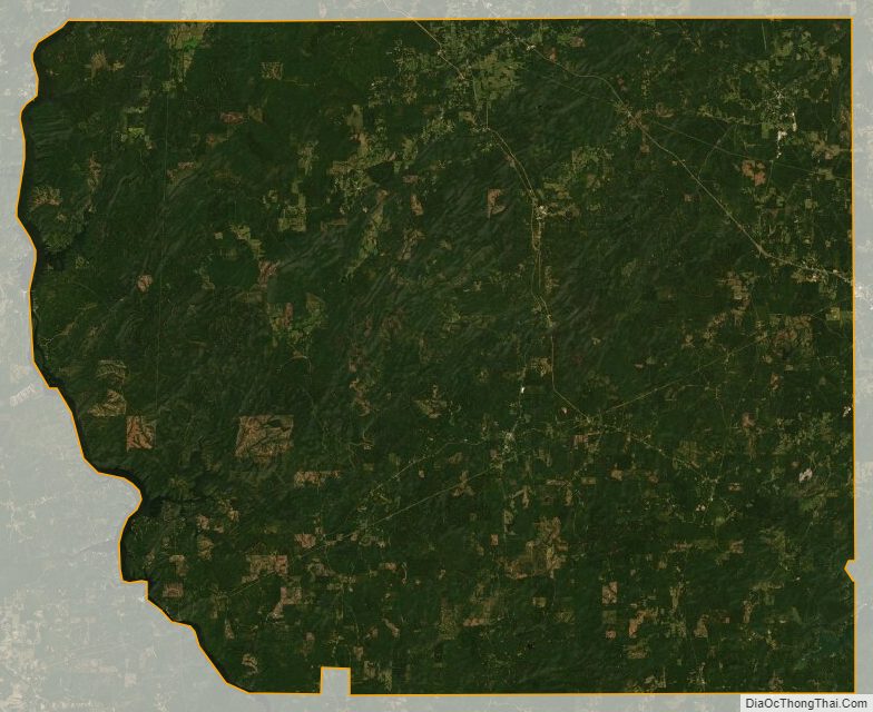
Coosa County Satellite Map
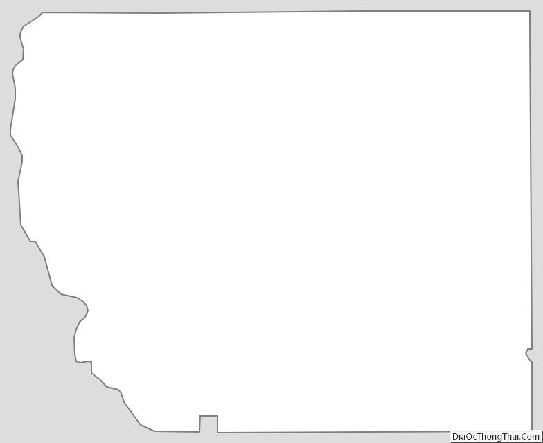
Coosa County Outline Map