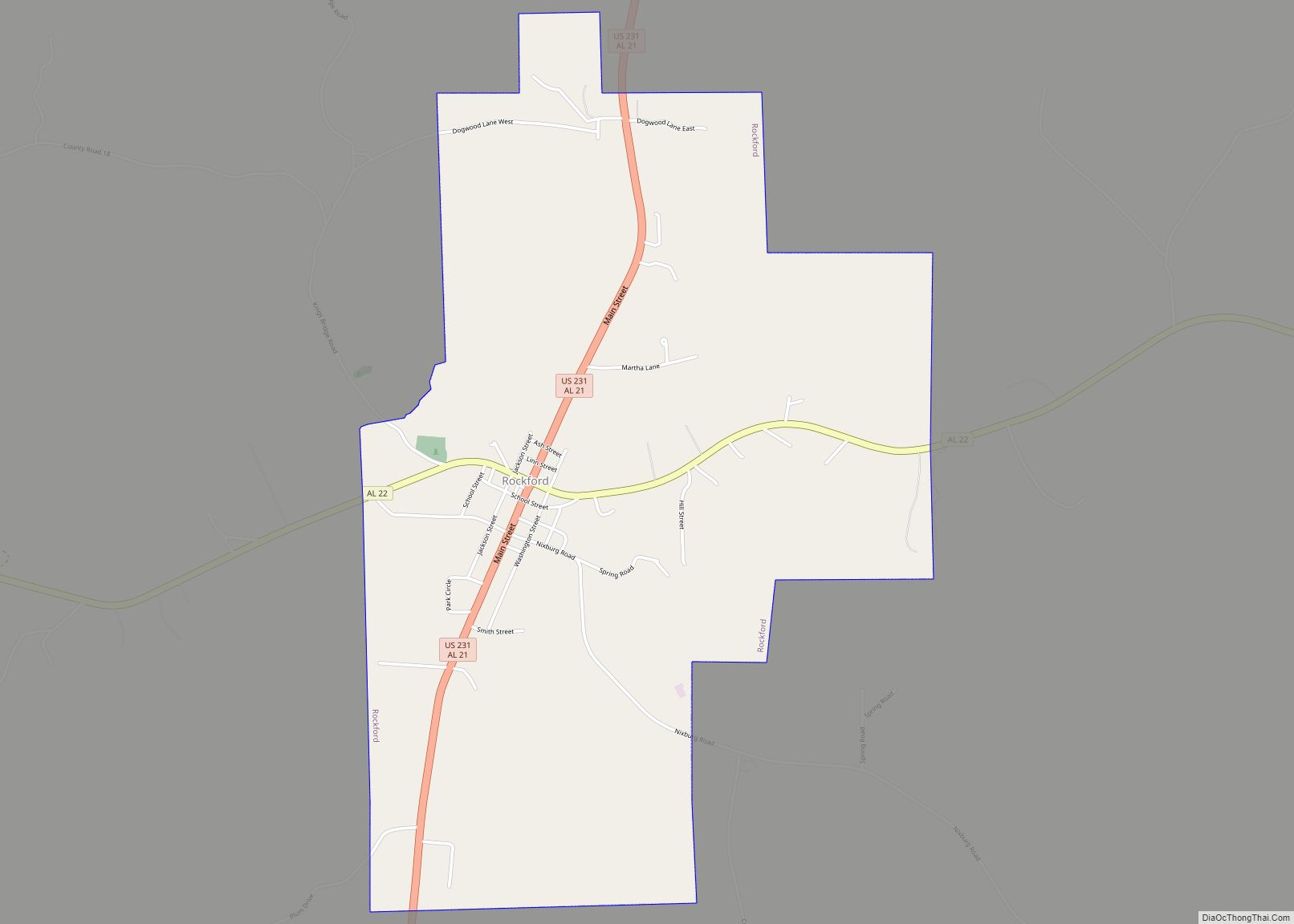
Rockford is a town in Coosa County, Alabama, United States. At the 2020 census, the population was 349. The town is the county seat of Coosa County and is part of the Talladega-Sylacauga Micropolitan Statistical Area.
| Name: | Rockford town |
|---|---|
| LSAD Code: | 43 |
| LSAD Description: | town (suffix) |
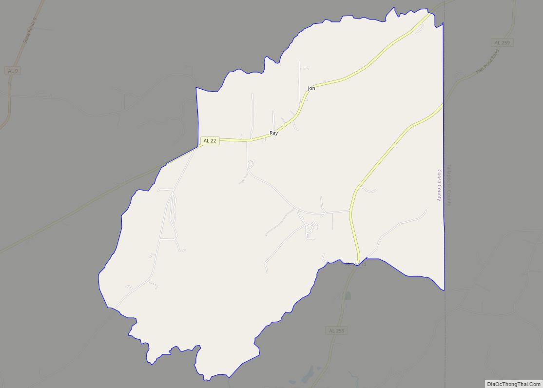
| State: | Alabama |
| County: | Coosa County |
| Elevation: | 738 ft (225 m) |
| Total Area: | 3.32 sq mi (8.60 km²) |
| Land Area: | 3.31 sq mi (8.57 km²) |
| Water Area: | 0.01 sq mi (0.03 km²) |
| Total Population: | 349 |
| Population Density: | 105.53/sq mi (40.74/km²) |
| ZIP code: | 35136 |
| Area code: | 256 |
| FIPS code: | 0165472 |
| GNISfeature ID: | 0153189 |
| Website: | www.rockfordalabama.net |
Online Interactive Map
Click on ![]() to view map in "full screen" mode.
to view map in "full screen" mode.
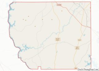
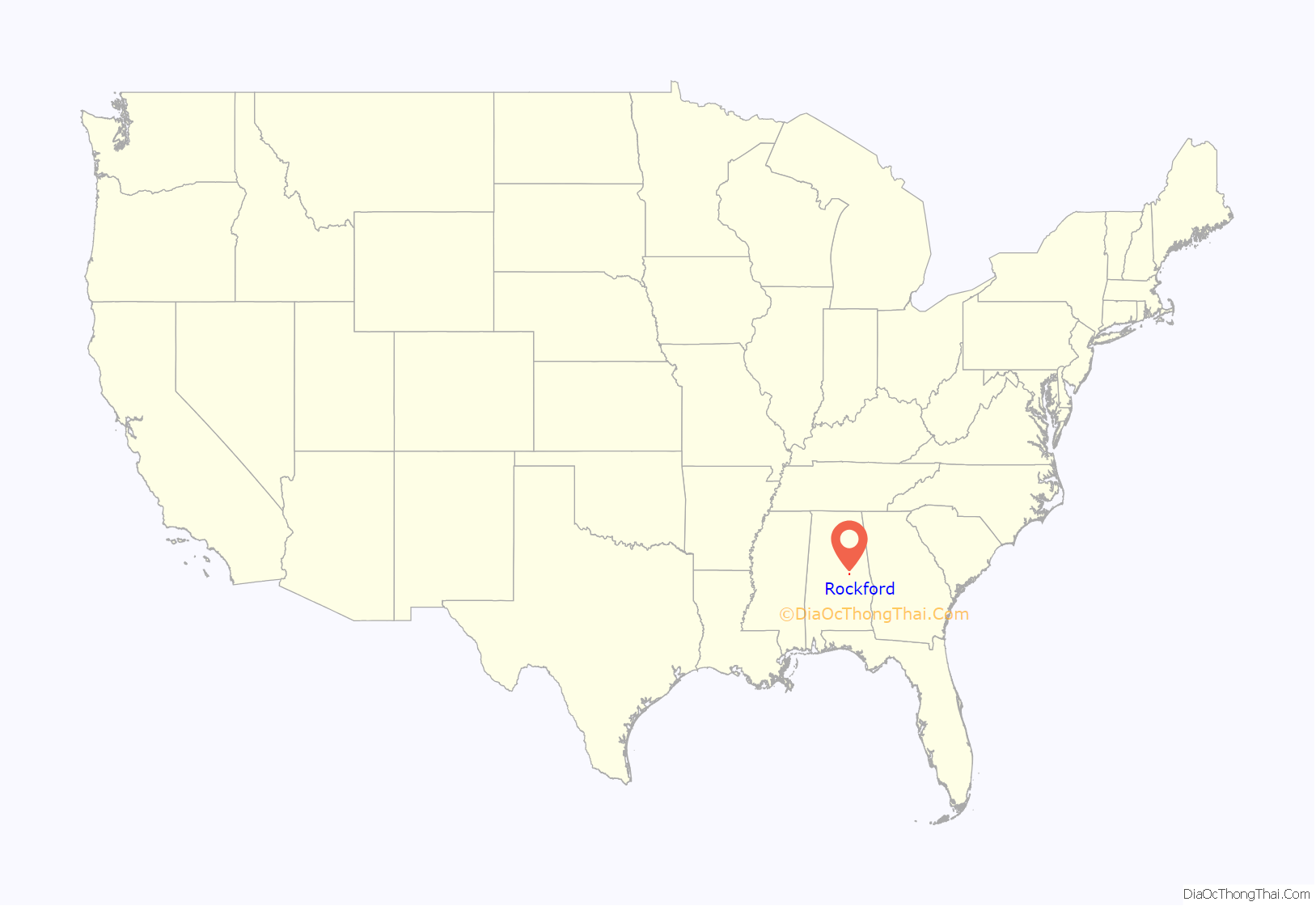
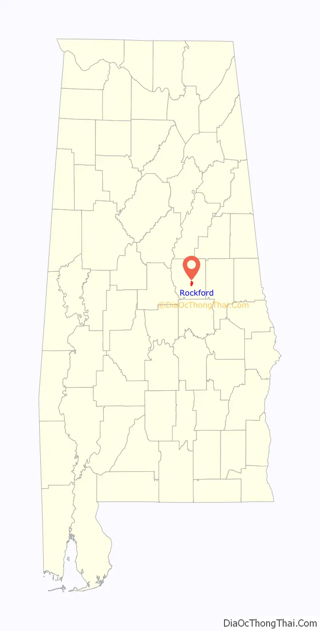
Rockford location map. Where is Rockford town?
History
Coosa County was created by an act of the Alabama State Legislature on December 18, 1832 and a site on Hatchet Creek was chosen as the county seat and given the name Lexington. In 1835 the name was changed to Rockford.
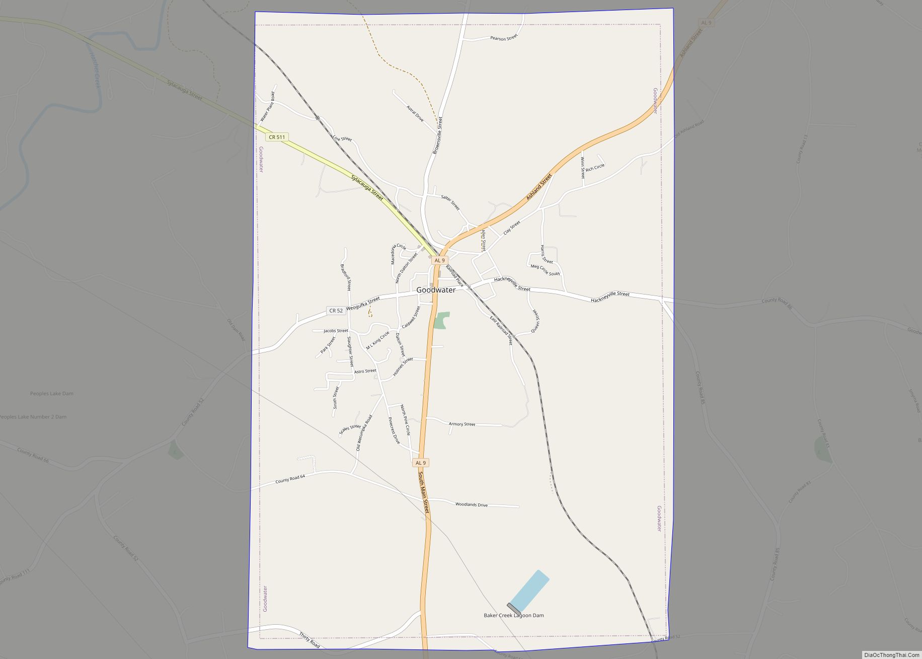
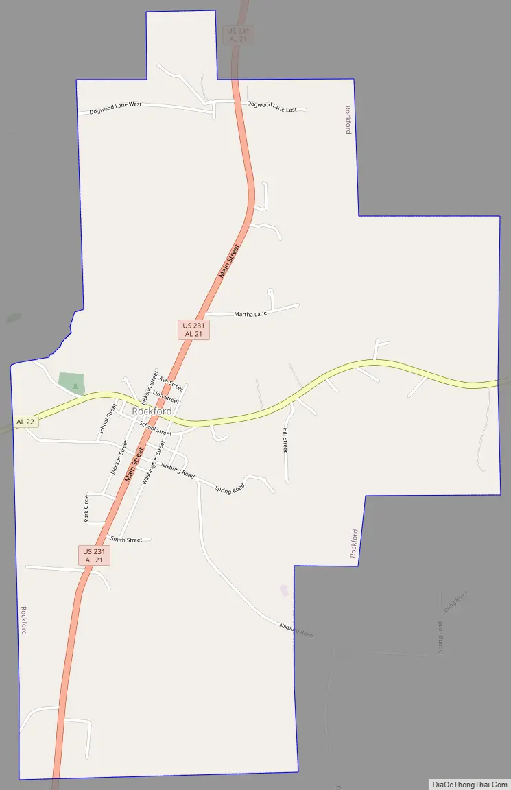
Rockford Road Map
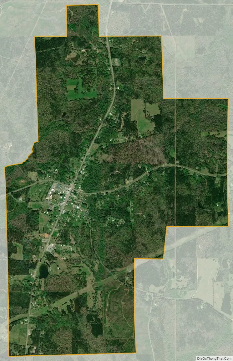
Rockford city Satellite Map
Geography
Rockford is located at 32°53′17″N 86°13′10″W / 32.88806°N 86.21944°W / 32.88806; -86.21944 (32.888181, -86.219575).
The town is located in the central part of the state along U.S. Route 231, which runs south to north through the center of town, leading north 21 mi (34 km) to Sylacauga and south 28 mi (45 km) to Wetumpka. Alabama State Route 22 meets US 231 in the center of town, leading east 18 mi (29 km) to Alexander City and west 29 mi (47 km) to Clanton.
According to the U.S. Census Bureau, the town has a total area of 3.3 square miles (8.5 km) of which 3.3 square miles (8.5 km) is land and 0.30% is water.
Soils are mostly well drained sandy loam of the Wedowee series. Loams and silt loams of the Baden, Tallapoosa and Fruithurst series are common on the northern outskirts.
Climate
According to the Köppen climate classification, Rockford has a humid subtropical climate (abbreviated Cfa).
See also
Map of Alabama State and its subdivision:- Autauga
- Baldwin
- Barbour
- Bibb
- Blount
- Bullock
- Butler
- Calhoun
- Chambers
- Cherokee
- Chilton
- Choctaw
- Clarke
- Clay
- Cleburne
- Coffee
- Colbert
- Conecuh
- Coosa
- Covington
- Crenshaw
- Cullman
- Dale
- Dallas
- De Kalb
- Elmore
- Escambia
- Etowah
- Fayette
- Franklin
- Geneva
- Greene
- Hale
- Henry
- Houston
- Jackson
- Jefferson
- Lamar
- Lauderdale
- Lawrence
- Lee
- Limestone
- Lowndes
- Macon
- Madison
- Marengo
- Marion
- Marshall
- Mobile
- Monroe
- Montgomery
- Morgan
- Perry
- Pickens
- Pike
- Randolph
- Russell
- Saint Clair
- Shelby
- Sumter
- Talladega
- Tallapoosa
- Tuscaloosa
- Walker
- Washington
- Wilcox
- Winston
- Alabama
- Alaska
- Arizona
- Arkansas
- California
- Colorado
- Connecticut
- Delaware
- District of Columbia
- Florida
- Georgia
- Hawaii
- Idaho
- Illinois
- Indiana
- Iowa
- Kansas
- Kentucky
- Louisiana
- Maine
- Maryland
- Massachusetts
- Michigan
- Minnesota
- Mississippi
- Missouri
- Montana
- Nebraska
- Nevada
- New Hampshire
- New Jersey
- New Mexico
- New York
- North Carolina
- North Dakota
- Ohio
- Oklahoma
- Oregon
- Pennsylvania
- Rhode Island
- South Carolina
- South Dakota
- Tennessee
- Texas
- Utah
- Vermont
- Virginia
- Washington
- West Virginia
- Wisconsin
- Wyoming