| Name: | Corson County |
|---|---|
| FIPS code: | 46-031 |
| State: | South Dakota |
| Founded: | 1909 |
| Named for: | Dighton Corson |
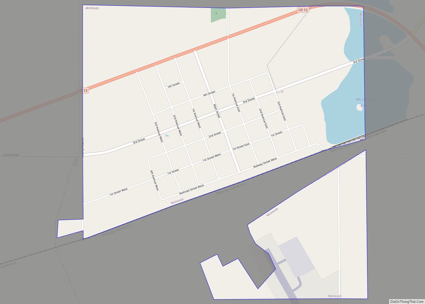
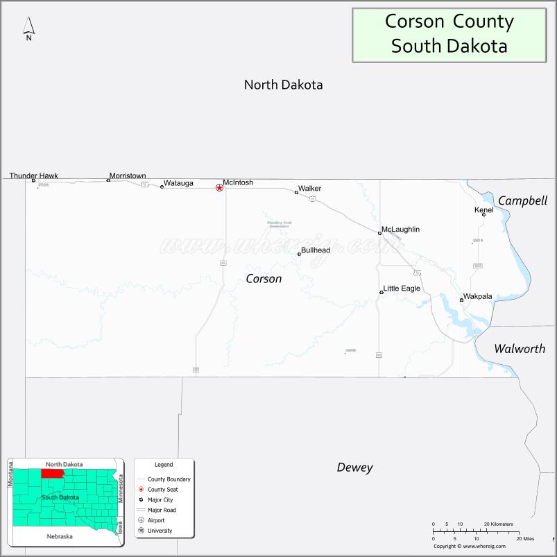
| Seat: | McIntosh |
| Largest city: | McLaughlin |
| Total Area: | 2,530 sq mi (6,600 km²) |
| Land Area: | 2,470 sq mi (6,400 km²) |
| Total Population: | 3,902 |
| Population Density: | 1.5/sq mi (0.60/km²) |
| Time zone: | UTC−7 (Mountain) |
| Summer Time Zone (DST): | UTC−6 (MDT) |
| Website: | corson.sdcounties.org |
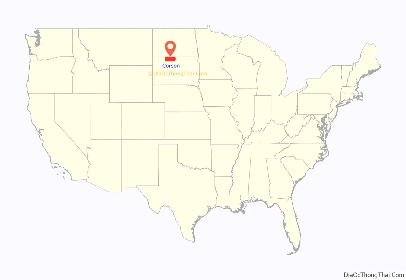
Corson County location map. Where is Corson County?
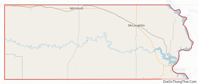
Corson County Road Map
Geography
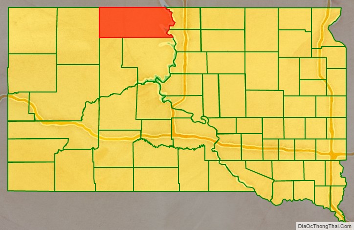
Corson County lies on the north line of South Dakota. Its north boundary line abuts the south boundary line of the state of North Dakota. The Missouri River flows south-southeastward along its eastern boundary line. The county terrain consists of semi-arid rolling hills. A portion of the land is dedicated to agriculture. The Grand River flows eastward through the central part of the county to discharge into the river, and Standing Cloud Creek flows eastward through the county’s lower SW area. The terrain generally slopes to the east and south; its highest point is near its NW corner, at 2,582′ (787m) ASL.
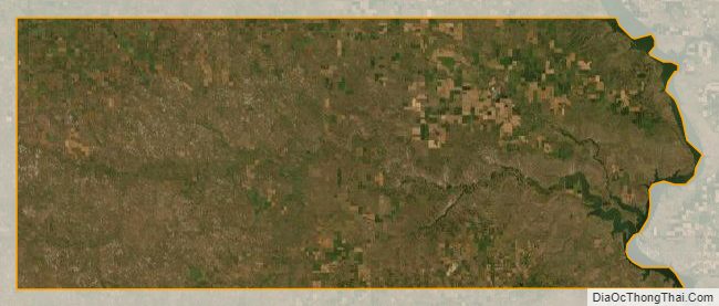
Corson County has a total area of 2,530 square miles (6,600 km), of which 2,470 square miles (6,400 km) is land and 60 square miles (160 km) (2.4%) is water. It is the fifth-largest county in South Dakota by area. The entire county lies within the Standing Rock Indian Reservation, which also includes Sioux, Ziebach, and Dewey counties.
The eastern portion of South Dakota’s counties (48 of 66) observe Central Time; the western counties (18 of 66) observe Mountain Time. Corson County is the easternmost of the SD counties to observe Mountain Time.
Major highways
- U.S. Highway 12
- South Dakota Highway 20
- South Dakota Highway 63
- South Dakota Highway 65
- South Dakota Highway 1806
Adjacent counties
- Sioux County, North Dakota – north (eastern half of county observes Central Time)
- Campbell County – east (observes Central Time)
- Walworth County – southeast (observes Central Time)
- Dewey County – south
- Ziebach County – southwest
- Perkins County – west
- Adams County, North Dakota – northwest
Protected areas
- Grand River National Grassland (partial)
- C.C. Lee State Game Production Area
Lakes
- Mallard
- McGee
- McIntosh
- Morristown East
- Morristown West
- Lake Oahe (part)
- Pudwell
- Trail City
Rivers and Streams
- Missouri River
- Grand River
- White Shirt Creek
- Hump Creek
- Stink Creek
- Black Horse Butte Creek
- Soldier Creek
- Firesteel Creek
- Oak Creek
- Rock Creek
- Cottonwood Creek
- High Bank Creek
Peaks
- Hump Butte
- Black Horse Butte
- Rattlesnake Butte
- Elk Butte
Corson County Topographic Map
Corson County Satellite Map
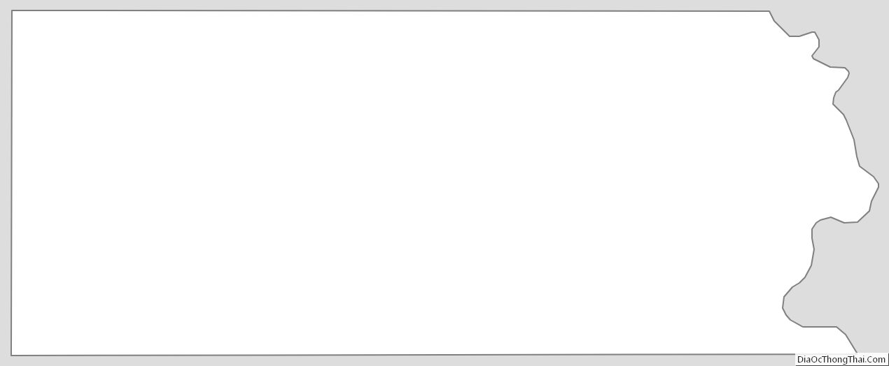
Corson County Outline Map