Culpeper County is a county located along the borderlands of the northern and central region of the Commonwealth of Virginia. As of the 2020 United States Census, the population was 52,552. Its county seat and only incorporated community is Culpeper.
Culpeper County is included in the Washington–Baltimore–Arlington, DC–MD–VA–WV–PA Combined Statistical Area.
| Name: | Culpeper County |
|---|---|
| FIPS code: | 51-047 |
| State: | Virginia |
| Founded: | 1749 |
| Named for: | Thomas Colepeper |
| Seat: | Culpeper |
| Largest town: | Culpeper |
| Total Area: | 383 sq mi (990 km²) |
| Land Area: | 379 sq mi (980 km²) |
| Total Population: | 52,552 |
| Population Density: | 140/sq mi (53/km²) |
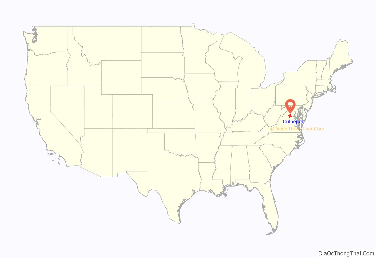
Culpeper County location map. Where is Culpeper County?
History
At the time of European encounter, the inhabitants of future Culpeper County were a Siouan-speaking sub-group of the Manahoac tribe called the Tegninateo. Culpeper County was established in 1749, with territory partitioned from Orange County. The county is named for Thomas Colepeper, 2nd Baron Colepeper, colonial governor of Virginia from 1677 to 1683.
In May 1749, the first Culpeper Court convened in the home of Robert Tureman, near the present location of the Town of Culpeper. In July 1749, Tureman commissioned 17-year-old George Washington as the first County surveyor. One of his first duties was to lay out the county’s courthouse complex, which included the courthouse, jail, stocks, gallows and accessory buildings. By 1752 the complex stood at the present northeast corner of Davis and Main Streets. The courthouse village was named Town of Fairfax for Thomas Fairfax, 6th Lord Fairfax of Cameron (1693–1781).
During the Virginia convention held in May 1775, the colony was divided into sixteen districts. Each district had instructions to raise a battalion of men “to march at a minute’s notice.” Culpeper, Orange and Fauquier, forming one district, raised 350 men in “Clayton’s old field” on the Catalpa estate; they were called the Culpeper Minute Men. In December, the Minute Men, marching under their flag depicting a rattlesnake and inscribed with the words “Liberty or Death” and “Don’t Tread on Me”, took part in the Battle of Great Bridge, the first Revolutionary battle on Virginia soil. The Culpeper Minute Men reorganized in 1860 in response to the impending Civil War and became part of 13th Infantry’s Company B, fighting against the US Government forces. The Culpeper Minutemen were again organized for World War I, and joined the 116th Infantry.
In 1833, based on the county’s growing population and the need of those in the northwestern area for easier access to a county seat, the upper 267 square miles (692 km) of Culpeper County was partitioned off to create Rappahannock County, Virginia, which was founded by an act of the Virginia General Assembly.
During the Civil War the Battle of Cedar Mountain took place on 9 August 1862, and the Battle of Brandy Station occurred on 9 June 1863, in Culpeper County.
Culpeper was the boyhood home of Civil War General A. P. Hill, who fought against Union forces.
The negative impact of the Massive Resistance campaign against school integration led to the statewide election of a pro-desegregation governor. By the middle of the 1970s, Culpeper was the last county in Virginia to desegregate its public schools. In 2018 Culpeper County Public Schools has six elementary, two middle schools and two high schools. In 1935 the Rotary Club of Culpeper began a college loan fund, which in 1966 became a four-year scholarship based on academic achievement. The group also provides a Technical School scholarship based on academic achievement.
Culpeper County is home to Commonwealth Park, site for many world-class equestrian events. It was here that actor Christopher Reeve suffered his 1995 accident during a competition.
The town of Culpeper was rated #10 by Norman Crampton, author of “The 100 Best Small Towns in America,” in February, 1993.
In April 2016, the county Board of Supervisors denied a routine request from the Islamic Center of Culpeper for a pump and haul permit to serve their envisioned mosque. This resulted in a lawsuit by the US Department of Justice in December.
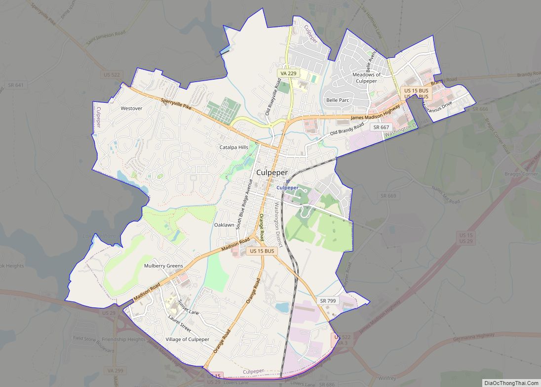
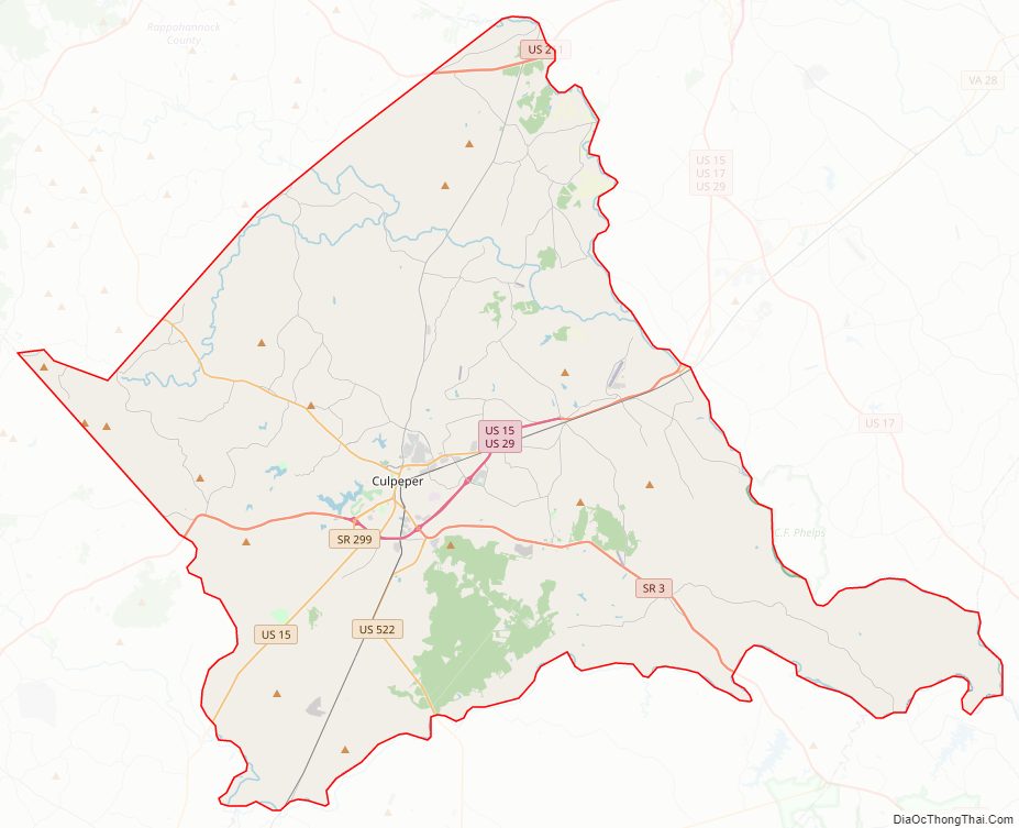
Culpeper County Road Map
Geography
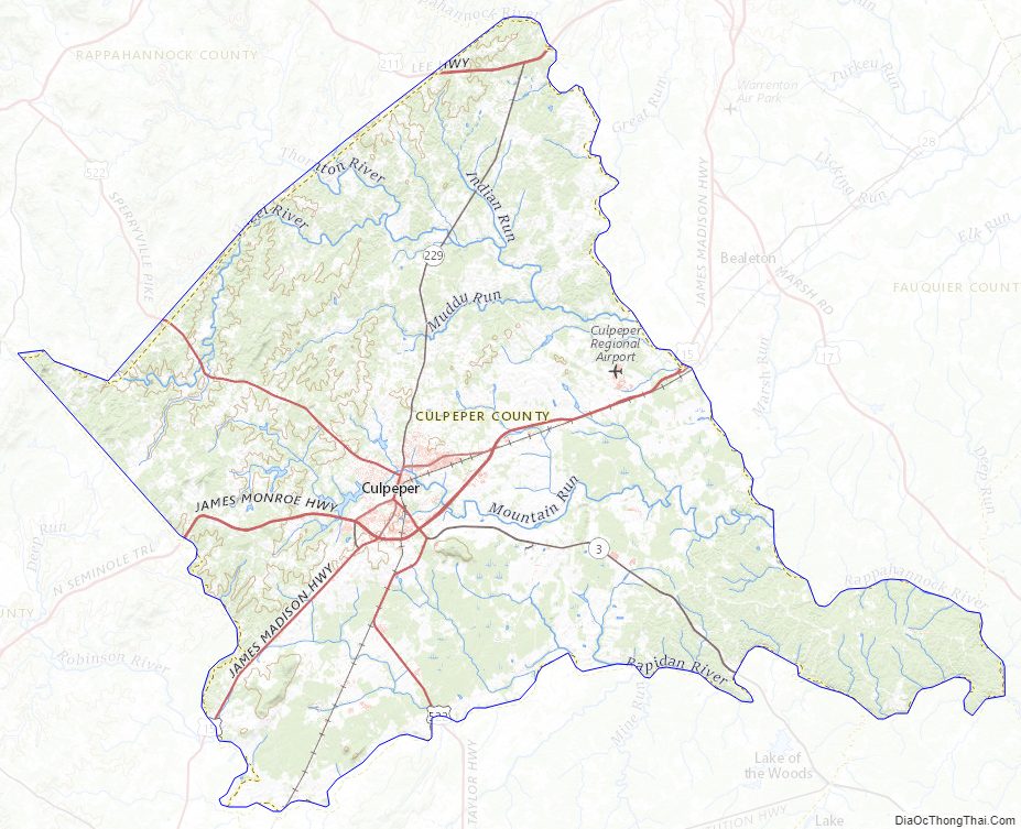
The northeast border of Culpeper County is defined by the Rappahannock River which flows east-southeastward along its border, while the south border of the county is similarly defined by the meanders of the Rapidan River. The Hazel River flows eastward through the county, discharging into the Rappahannock on the county’s east border, while the Thornton River also flows eastward through the county, discharging into the Hazel in the north part of the county. The county is in the foothills of the Blue Ridge Mountains, which are quickly accessed beginning with Old Rag Mountain and the Skyline Drive just up Route 522. The rolling hills generally slope to the south and east, with its highest point near its west corner at 705′ (215m) ASL. The county has a total area of 383 square miles (990 km), of which 379 square miles (980 km) is land and 3.3 square miles (8.5 km) (0.9%) is water.
Major highways
- US 15
- US 29
- US 211
- US 522
- SR 3
- SR 229
- SR 299
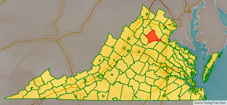
Adjacent counties
- Fauquier County – north
- Stafford County – east
- Spotsylvania County – southeast
- Orange County – south
- Madison County – southwest
- Rappahannock County – northwest
Protected areas
- Brandy Station Battlefield Park
- Mountain Run Lake Park
Lakes
- Balds Run Reservoir
- Brandy Rock Farm Lake
- Caynor Lake
- Lake Pelham
- Merrimac/Mountain Run Lake
Culpeper County Topographic Map
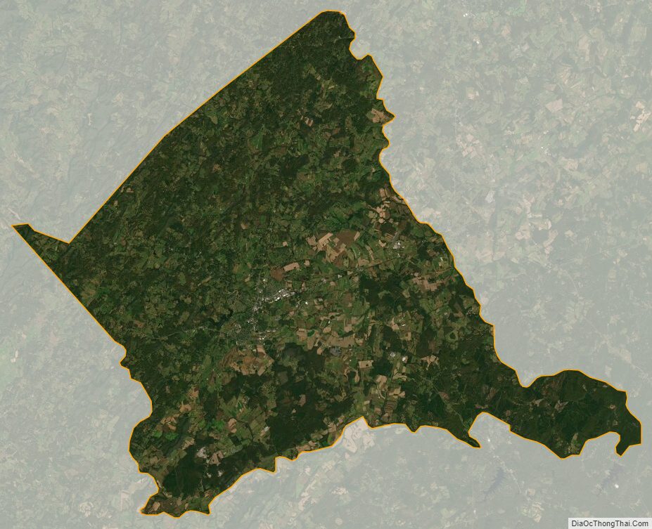
Culpeper County Satellite Map
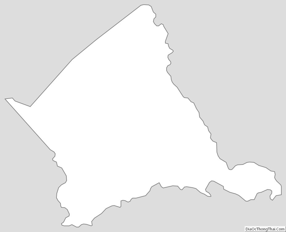
Culpeper County Outline Map