Dallas County is a county located in the U.S. state of Iowa. As of the 2020 Census, the population was 99,678, making it the seventh-most populous county in Iowa. Between 2010 and 2020, it was the fastest growing county in Iowa and one of the fastest growing in the country. Its county seat is Adel, and its largest city is Waukee. The county was named for George M. Dallas, Vice President of the United States under James K. Polk, the namesake of neighboring Polk County.
Dallas County is included in the Des Moines–West Des Moines, IA Metropolitan Statistical Area.
| Name: | Dallas County |
|---|---|
| FIPS code: | 19-049 |
| State: | Iowa |
| Founded: | January 13, 1846 |
| Named for: | George M. Dallas |
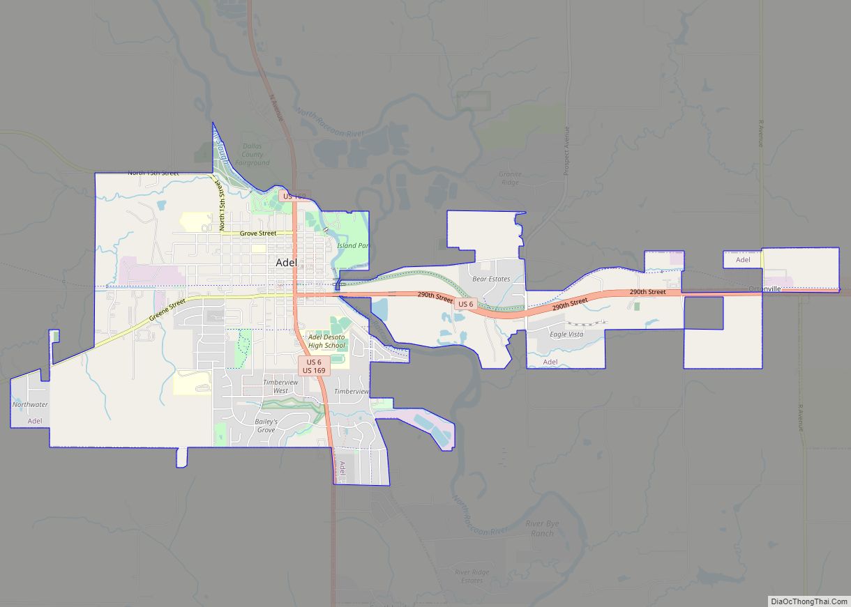
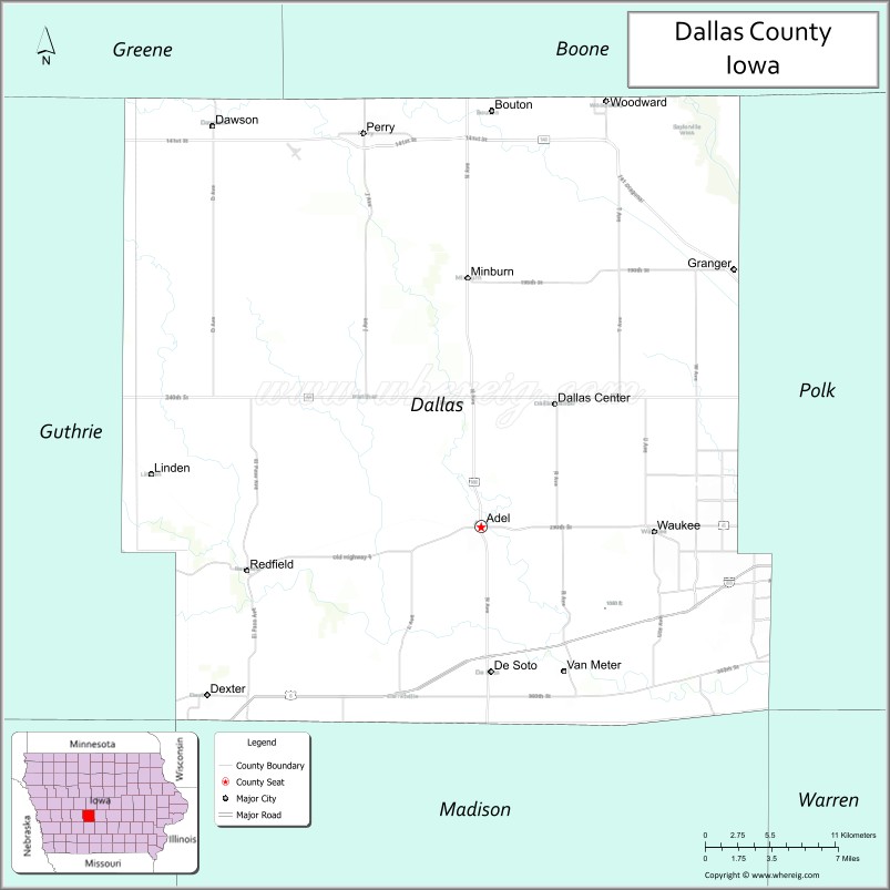
| Seat: | Adel |
| Largest city: | Waukee |
| Total Area: | 592 sq mi (1,530 km²) |
| Land Area: | 588 sq mi (1,520 km²) |
| Total Population: | 99,678 |
| Population Density: | 170/sq mi (65/km²) |
| Time zone: | UTC−6 (Central) |
| Summer Time Zone (DST): | UTC−5 (CDT) |
| Website: | www.dallascountyiowa.gov |
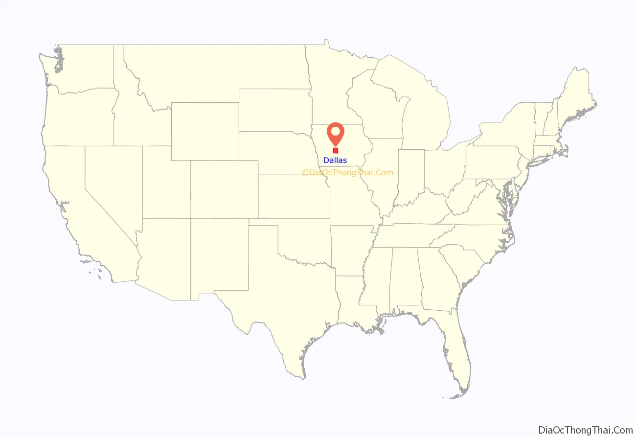
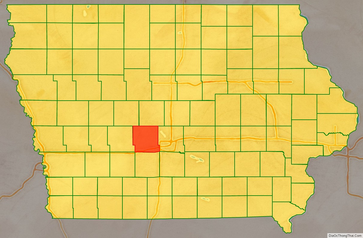
Dallas County location map. Where is Dallas County?
History
The land that now forms Dallas County was ceded by the Sac and Fox nation to the United States in a treaty signed on October 11, 1842.
On January 13, 1846, the legislative body of the Iowa Territory authorized the creation of twelve counties in the Iowa Territory, with general descriptions of their boundaries. Dallas County’s name referred to United States Vice President George M. Dallas, who served from 1845 to 1849.
In 1847 the county residents voted to designate Penoch as the county seat (the name was changed to Adel in 1849). The county’s population grew rapidly, with settlers coming to claim homesteads. By 1870, the population had crossed the 12,000 mark.
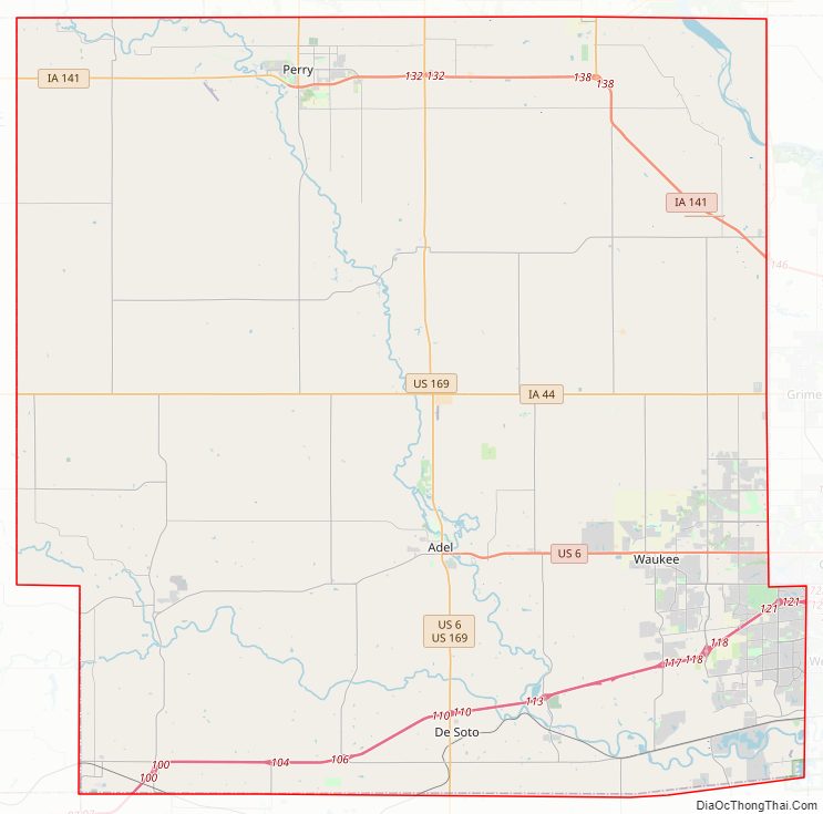
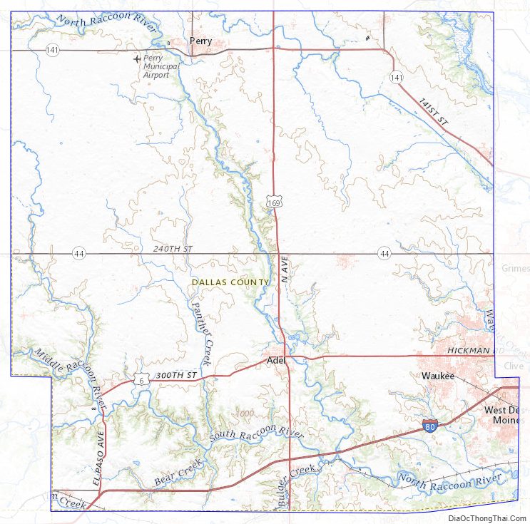
Dallas County Road Map
Geography
According to the United States Census Bureau, the county has a total area of 592 square miles (1,530 km), of which 588 square miles (1,520 km) is land and 3.3 square miles (8.5 km) (0.5%) is water.
Major highways
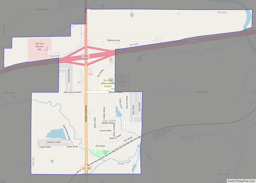
- Interstate 80 – runs east-northeast across the southern portion of the county, passing Dexter and De Soto on its way to Des Moines
- U.S. Highway 6 – from its starting point in Adel, runs east across the midsection of the county on its way to Des Moines
- U.S. Highway 169 – runs north–south through the center of the county, from Bouton to Adel to De Soto
- Iowa Highway 17 – from its starting point (intersection with Iowa 141) at Granger, runs north along the county’s eastern boundary, into Boone County
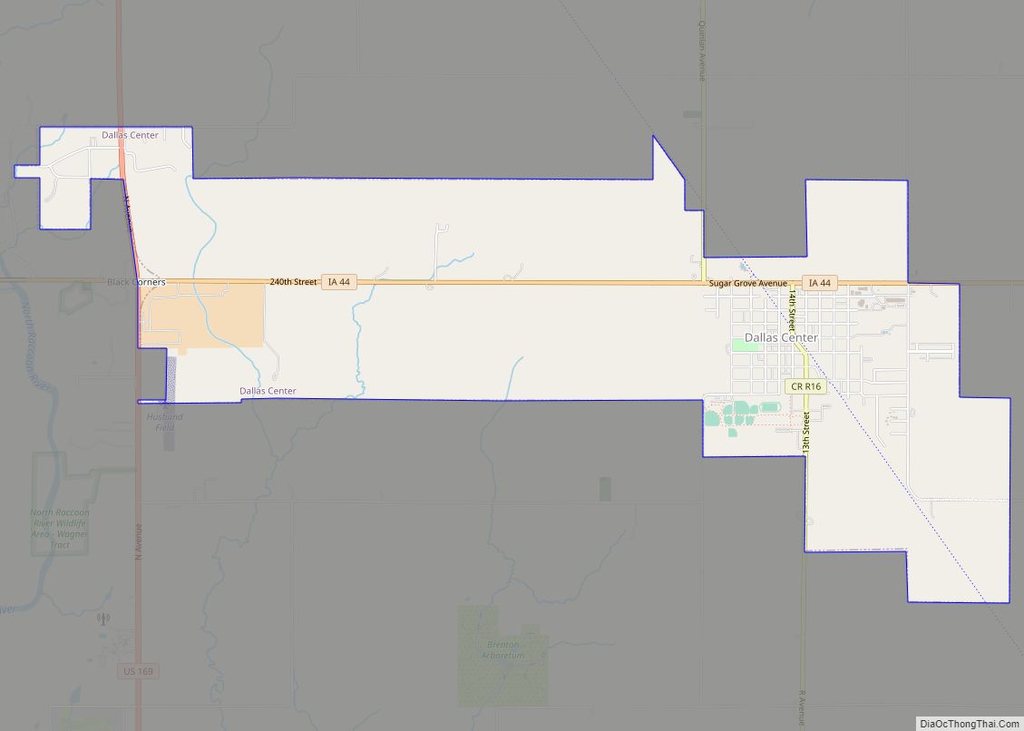
- Iowa Highway 44 – runs east–west through the center of the county, through Dallas Center
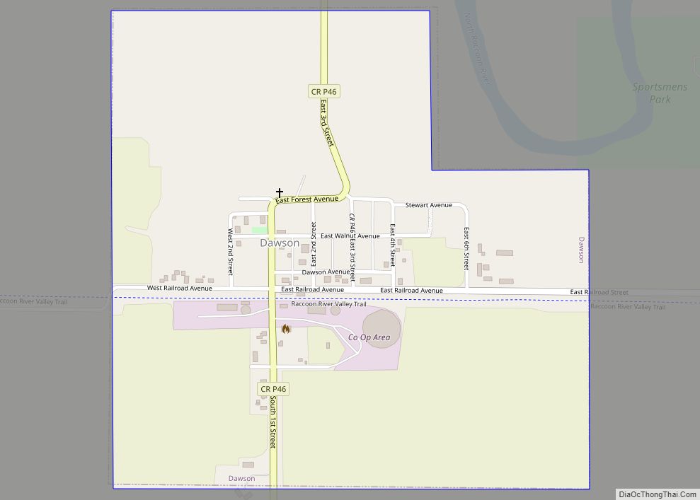
- Iowa Highway 141 – runs east across northern portion of county, through Dawson, Perry, Bouton and Woodward, then southeast to exit into Polk County at Granger
- Iowa Highway 144 – from its starting point (intersection w Iowa 141) at Perry, runs north into Boone County
- Iowa Highway 210 – from its starting point (intersection w Iowa 141), runs north to Woodward and continues into Boone County
Adjacent counties
- Adair County – southwest
- Boone County – north
- Greene County – north and northwest
- Guthrie County – west
- Madison County – south
- Polk County – east
- Warren County – southeast
Dallas County Topographic Map
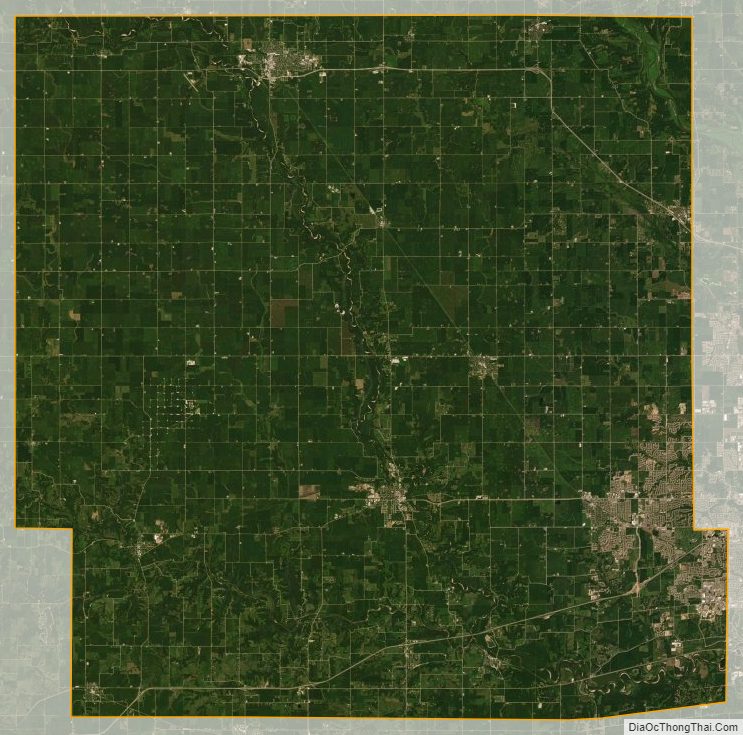
Dallas County Satellite Map
Dallas County Outline Map