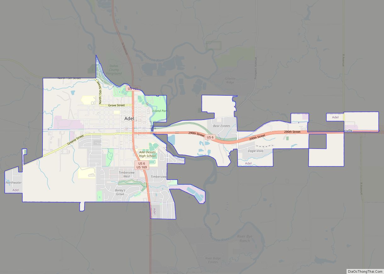
Perry is a city in Dallas County, Iowa, United States, along the North Raccoon River. The population was 7,836 at the time of the 2020 Census. It is part of the Des Moines–West Des Moines Metropolitan Statistical Area.
Formerly a major railroad junction, Perry is home to the Historic Hotel Pattee, with themed rooms including many related to the railroad.
| Name: | Perry city |
|---|---|
| LSAD Code: | 25 |
| LSAD Description: | city (suffix) |
| State: | Iowa |
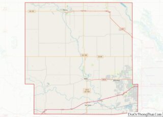
| County: | Dallas County |
| Elevation: | 961 ft (293 m) |
| Total Area: | 5.49 sq mi (14.22 km²) |
| Land Area: | 5.49 sq mi (14.21 km²) |
| Water Area: | 0.01 sq mi (0.01 km²) |
| Total Population: | 7,836 |
| Population Density: | 1,428.36/sq mi (551.47/km²) |
| ZIP code: | 50220 |
| Area code: | 515 |
| FIPS code: | 1962355 |
| GNISfeature ID: | 0460089 |
| Website: | http://www.perryia.org/ |
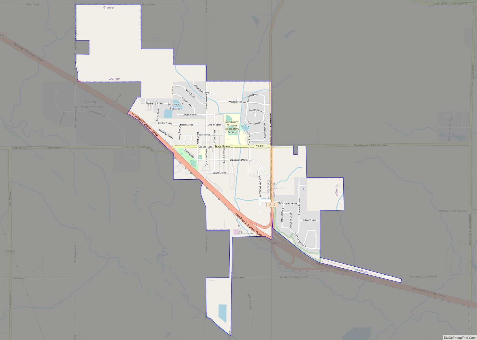
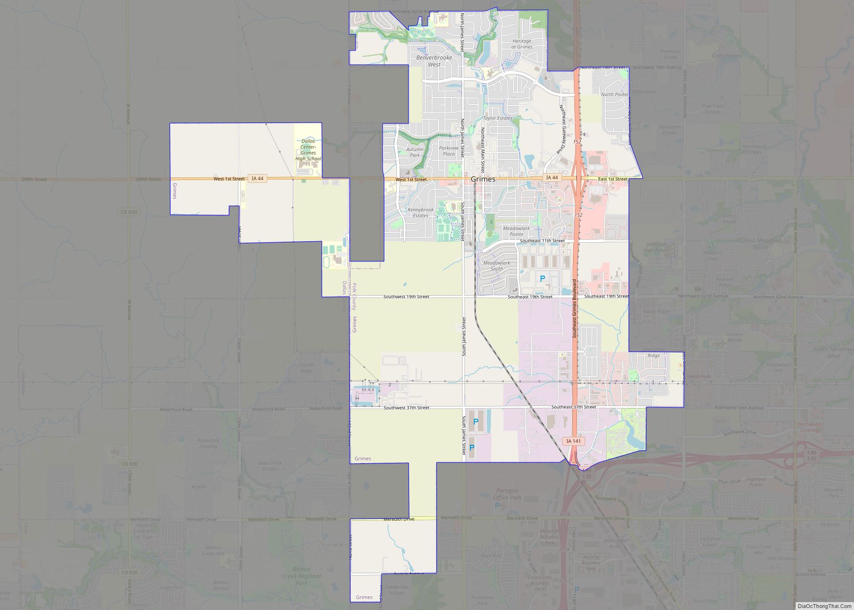
Online Interactive Map
Click on ![]() to view map in "full screen" mode.
to view map in "full screen" mode.
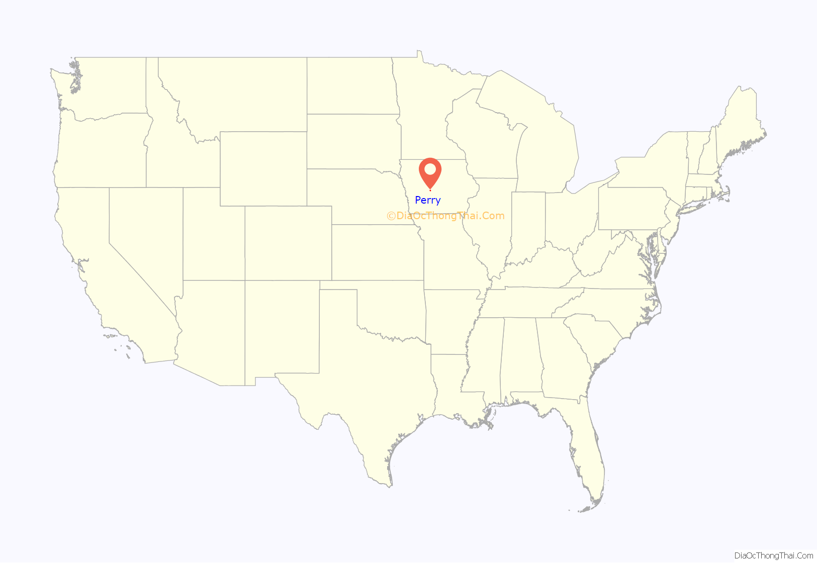
Perry location map. Where is Perry city?
History
Perry was laid out as a town in 1869. The original townsite was bounded by Estella Street on the south, 8th Street on the east, 3rd Street on the west, & Dewey Avenue on the north.
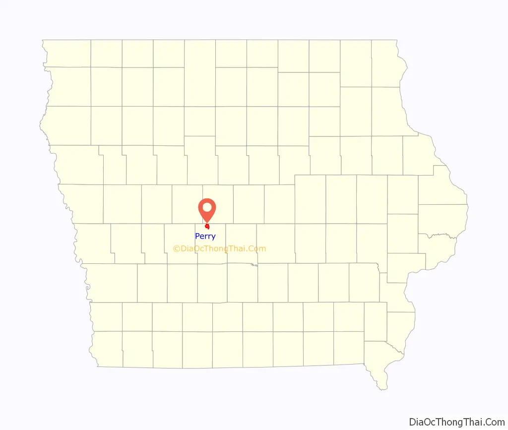
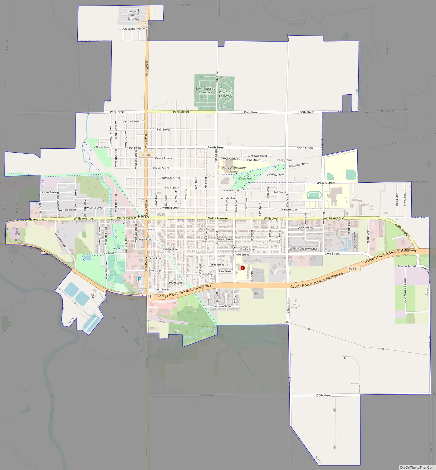
Perry Road Map
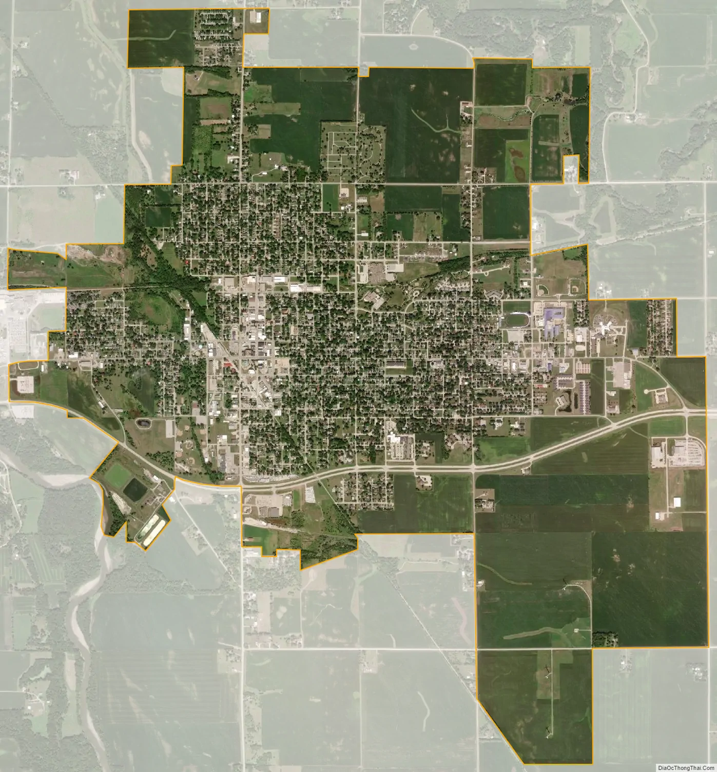
Perry city Satellite Map
Geography
Perry is located at 41°50′24″N 94°6′0″W / 41.84000°N 94.10000°W / 41.84000; -94.10000 (41.840107, -94.099978).
According to the United States Census Bureau, the city has a total area of 4.18 square miles (10.83 km), of which 4.17 square miles (10.80 km) is land and 0.01 square miles (0.03 km) is water.
See also
Map of Iowa State and its subdivision:- Adair
- Adams
- Allamakee
- Appanoose
- Audubon
- Benton
- Black Hawk
- Boone
- Bremer
- Buchanan
- Buena Vista
- Butler
- Calhoun
- Carroll
- Cass
- Cedar
- Cerro Gordo
- Cherokee
- Chickasaw
- Clarke
- Clay
- Clayton
- Clinton
- Crawford
- Dallas
- Davis
- Decatur
- Delaware
- Des Moines
- Dickinson
- Dubuque
- Emmet
- Fayette
- Floyd
- Franklin
- Fremont
- Greene
- Grundy
- Guthrie
- Hamilton
- Hancock
- Hardin
- Harrison
- Henry
- Howard
- Humboldt
- Ida
- Iowa
- Jackson
- Jasper
- Jefferson
- Johnson
- Jones
- Keokuk
- Kossuth
- Lee
- Linn
- Louisa
- Lucas
- Lyon
- Madison
- Mahaska
- Marion
- Marshall
- Mills
- Mitchell
- Monona
- Monroe
- Montgomery
- Muscatine
- O'Brien
- Osceola
- Page
- Palo Alto
- Plymouth
- Pocahontas
- Polk
- Pottawattamie
- Poweshiek
- Ringgold
- Sac
- Scott
- Shelby
- Sioux
- Story
- Tama
- Taylor
- Union
- Van Buren
- Wapello
- Warren
- Washington
- Wayne
- Webster
- Winnebago
- Winneshiek
- Woodbury
- Worth
- Wright
- Alabama
- Alaska
- Arizona
- Arkansas
- California
- Colorado
- Connecticut
- Delaware
- District of Columbia
- Florida
- Georgia
- Hawaii
- Idaho
- Illinois
- Indiana
- Iowa
- Kansas
- Kentucky
- Louisiana
- Maine
- Maryland
- Massachusetts
- Michigan
- Minnesota
- Mississippi
- Missouri
- Montana
- Nebraska
- Nevada
- New Hampshire
- New Jersey
- New Mexico
- New York
- North Carolina
- North Dakota
- Ohio
- Oklahoma
- Oregon
- Pennsylvania
- Rhode Island
- South Carolina
- South Dakota
- Tennessee
- Texas
- Utah
- Vermont
- Virginia
- Washington
- West Virginia
- Wisconsin
- Wyoming