| Name: | Elmore County |
|---|---|
| FIPS code: | 16-039 |
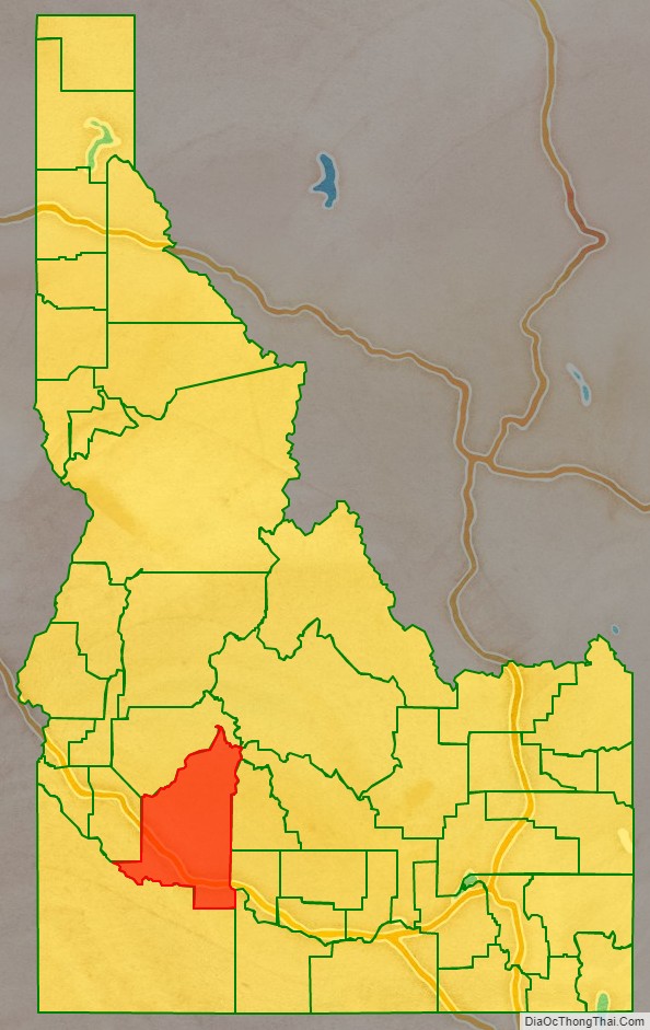
| State: | Idaho |
| Founded: | February 7, 1889 |
| Named for: | The Ida Elmore mines, producer of silver and gold in the 1860s |
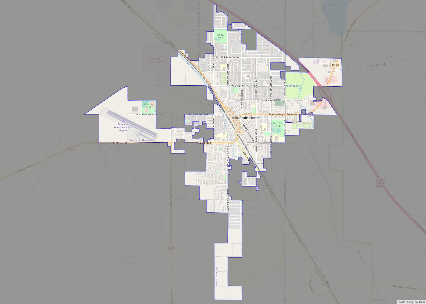
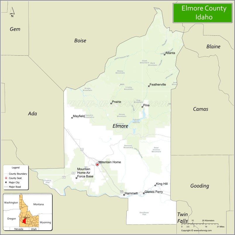
| Seat: | Mountain Home |
| Largest city: | Mountain Home |
| Total Area: | 3,101 sq mi (8,030 km²) |
| Land Area: | 3,075 sq mi (7,960 km²) |
| Total Population: | 28,666 |
| Population Density: | 9.2/sq mi (3.6/km²) |
| Time zone: | UTC−7 (Mountain) |
| Summer Time Zone (DST): | UTC−6 (MDT) |
| Website: | elmorecounty.org |
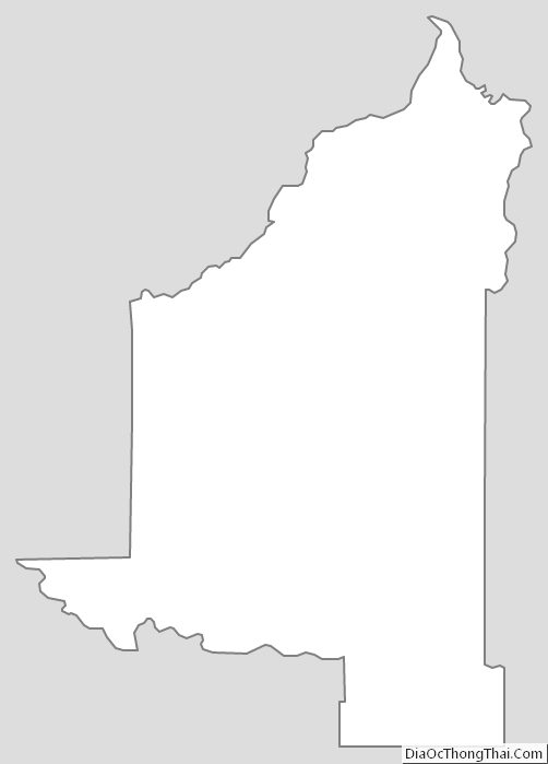
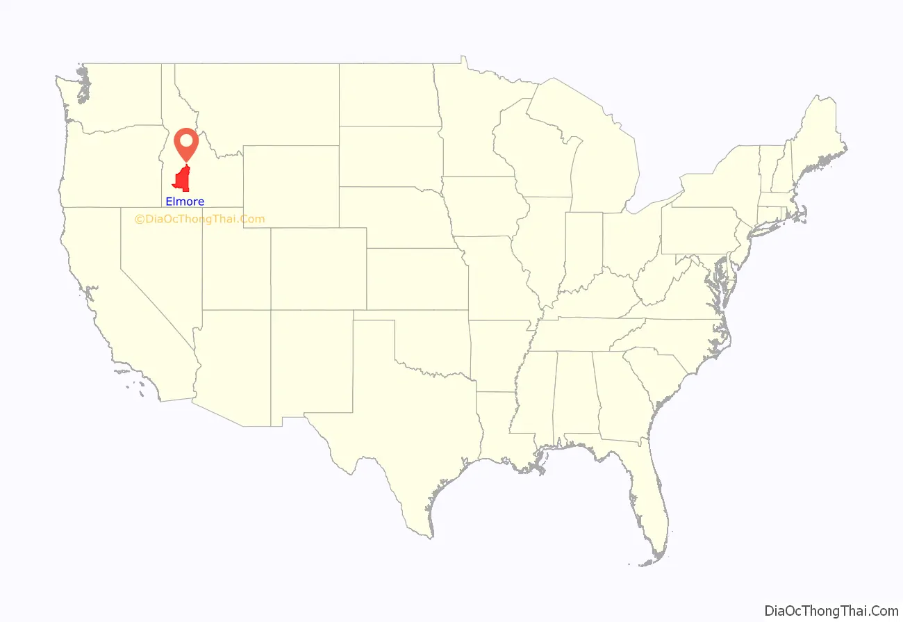
Elmore County location map. Where is Elmore County?
History
Elmore County was established February 7, 1889, with its county seat at Rocky Bar. It is named after the Ida Elmore mines, the area’s greatest silver and gold producer of the 1860s, located near Silver City in Owyhee County.
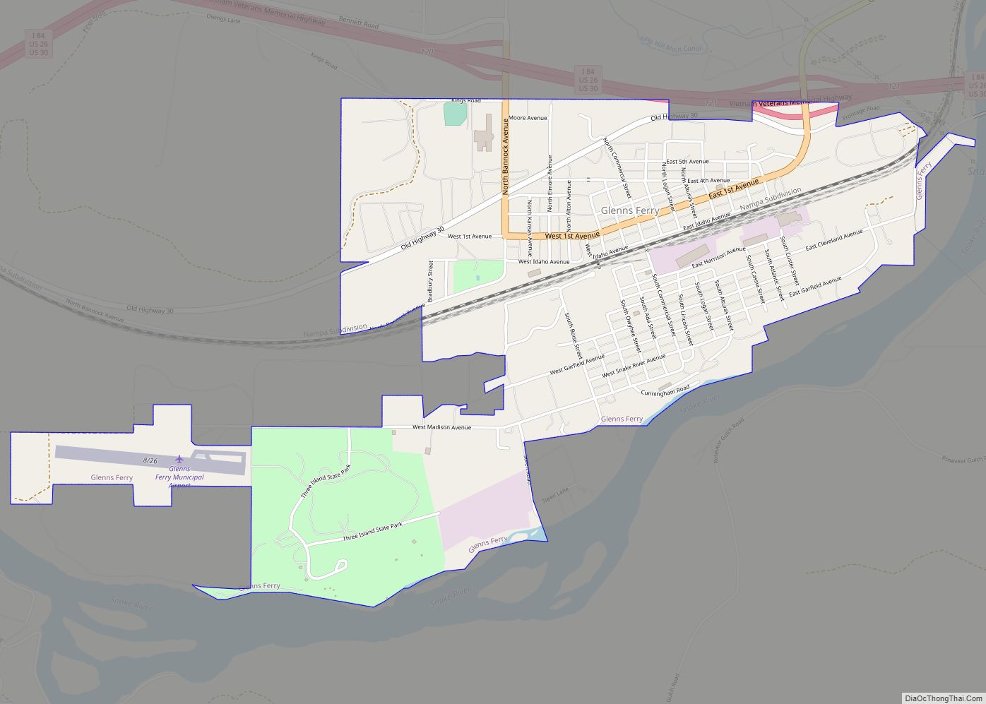
While the Oregon Trail crossed the Snake River in Elmore County, at Three Island Crossing near Glenns Ferry, the significant early settlements of Elmore County were mining settlements located primarily in northern Elmore County surrounding the ghost town of Rocky Bar. Settlement at Rocky Bar commenced in 1863 with the settlement having 560 residents at the Territorial Census of that year. Nearby, Atlanta was settled in 1864. Elmore County north of the Snake River was originally part of Alturas County when it was created in 1864 and Rocky Bar became its county seat. The portion of Elmore County south of the Snake River was within Owyhee County until 1930. A small portion of Ada County was also annexed in 1948, bringing Elmore to its present boundary. The settlement at Rocky Bar was impacted by poor management by mining companies, mining lawsuits, and its geographic remoteness between 1869 and 1880. The Wood River experienced a surge in settlement at Hailey starting in 1880 that led to Rocky Bar’s loss of the county seat to Hailey in 1882. Rocky Bar would briefly become a county seat upon the creation of Elmore County in 1889.
A station on the overland stage route, originally named Rattlesnake, was moved west to the railroad line and became Mountain Home. On February 4, 1891, the county seat was moved to Mountain Home.
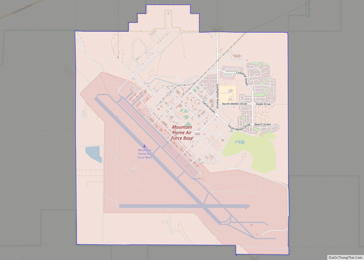
Construction of Mountain Home Air Force Base began in October 1942, twelve miles (19 km) southwest of Mountain Home. The base officially opened in August 1943 as a training base for bombers, and was an operational base under the Strategic Air Command (SAC) through 1965. It became a fighter base in 1966 under Tactical Air Command (TAC), which became Air Combat Command (ACC) in 1992.
Anderson Ranch Dam is east of Mountain Home on the South Fork of the Boise River. At the time of its completion in 1950, it was the world’s highest earthfill dam.
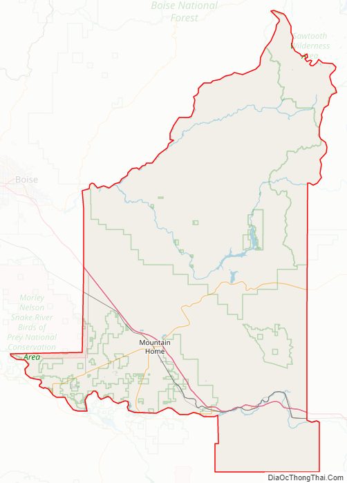
Elmore County Road Map
Geography
According to the U.S. Census Bureau, the county has a total area of 3,101 square miles (8,030 km), of which 3,075 square miles (7,960 km) is land and 26 square miles (67 km) (0.8%) is water. Elmore County’s highest point is Snowyside Peak at 10,651 feet (3,246 m) above sea level, located in the northeast corner of the county in the Sawtooth Wilderness. The lowest elevation in the county is the Snake River in the southwest corner, at less than 2,500 feet (760 m).
Adjacent counties
- Boise County – north
- Ada County – west
- Owyhee County – south
- Twin Falls County – southeast
- Gooding County – east
- Camas County – east
- Blaine County – northeast
- Custer County – northeast
Major highways
- I-84
- I-84 BL
- US 20
- US 26
- US 30
- SH-51
- SH-67
- SH-78
- SH-167
National protected areas
- Boise National Forest (part)
- Sawtooth National Forest (part)
- Sawtooth National Recreation Area (part)
- Sawtooth Wilderness (part)
- Snake River Birds of Prey National Conservation Area (part)
Elmore County Topographic Map

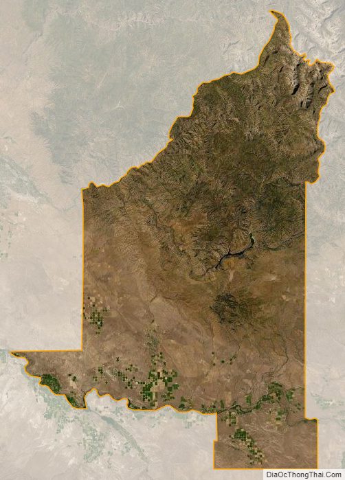
Elmore County Satellite Map
Elmore County Outline Map