Mountain Home is the largest city and county seat of Elmore County, Idaho, United States. The population was 15,979 in the 2020 census. Mountain Home is the principal city of the Mountain Home, Idaho Micropolitan Statistical Area, which includes Elmore County.
Mountain Home was originally a post office at Rattlesnake Station, a stagecoach stop on the Overland Stage Line, about seven miles (11 km) east of the city, on present-day US-20 towards Fairfield. With the addition of the Oregon Short Line Railroad in 1883, the post office was moved downhill and west to the city’s present site.
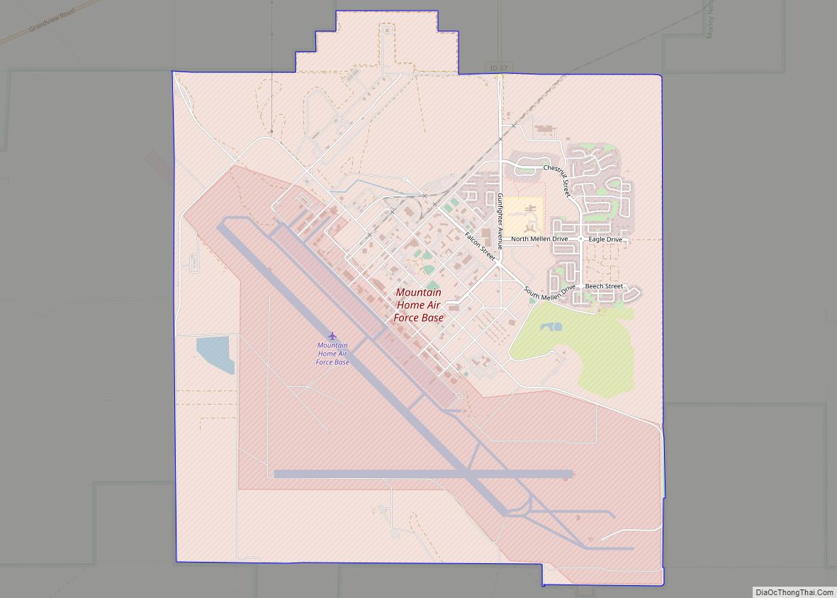
Mountain Home Air Force Base, an Air Combat Command installation, is located 12 miles (20 km) southwest of the city. Opened in 1943 during World War II, the base was originally a bomber training base and later an operational Strategic Air Command bomber and missile base (1953–65). It switched to Tactical Air Command and fighters in January 1966, which was succeeded by Air Combat Command in 1992.
| Name: | Mountain Home city |
|---|---|
| LSAD Code: | 25 |
| LSAD Description: | city (suffix) |
| State: | Idaho |
| County: | Elmore County |
| Elevation: | 3,146 ft (959 m) |
| Total Area: | 6.35 sq mi (16.45 km²) |
| Land Area: | 6.06 sq mi (15.70 km²) |
| Water Area: | 0.29 sq mi (0.75 km²) |
| Total Population: | 15,979 |
| Population Density: | 2,636.8/sq mi (1,018.1/km²) |
| ZIP code: | 83647 |
| Area code: | 208 |
| FIPS code: | 1654730 |
| GNISfeature ID: | 0374044 |
| Website: | mountain-home.us |
Online Interactive Map
Click on ![]() to view map in "full screen" mode.
to view map in "full screen" mode.
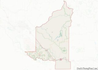
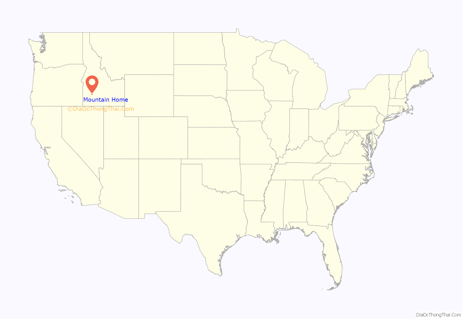
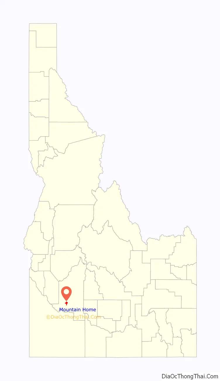
Mountain Home location map. Where is Mountain Home city?
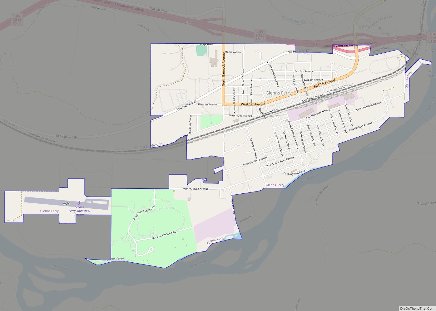
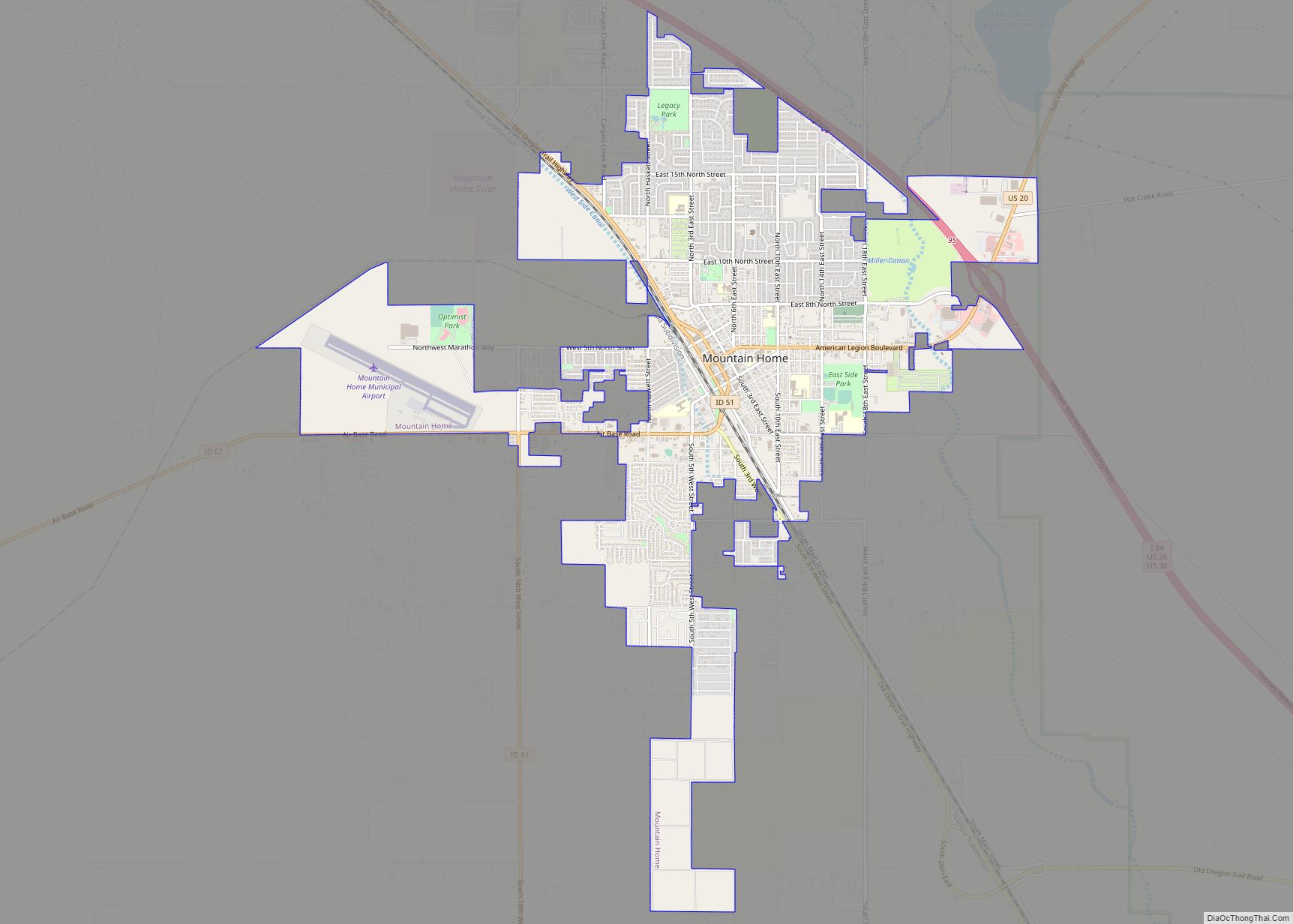
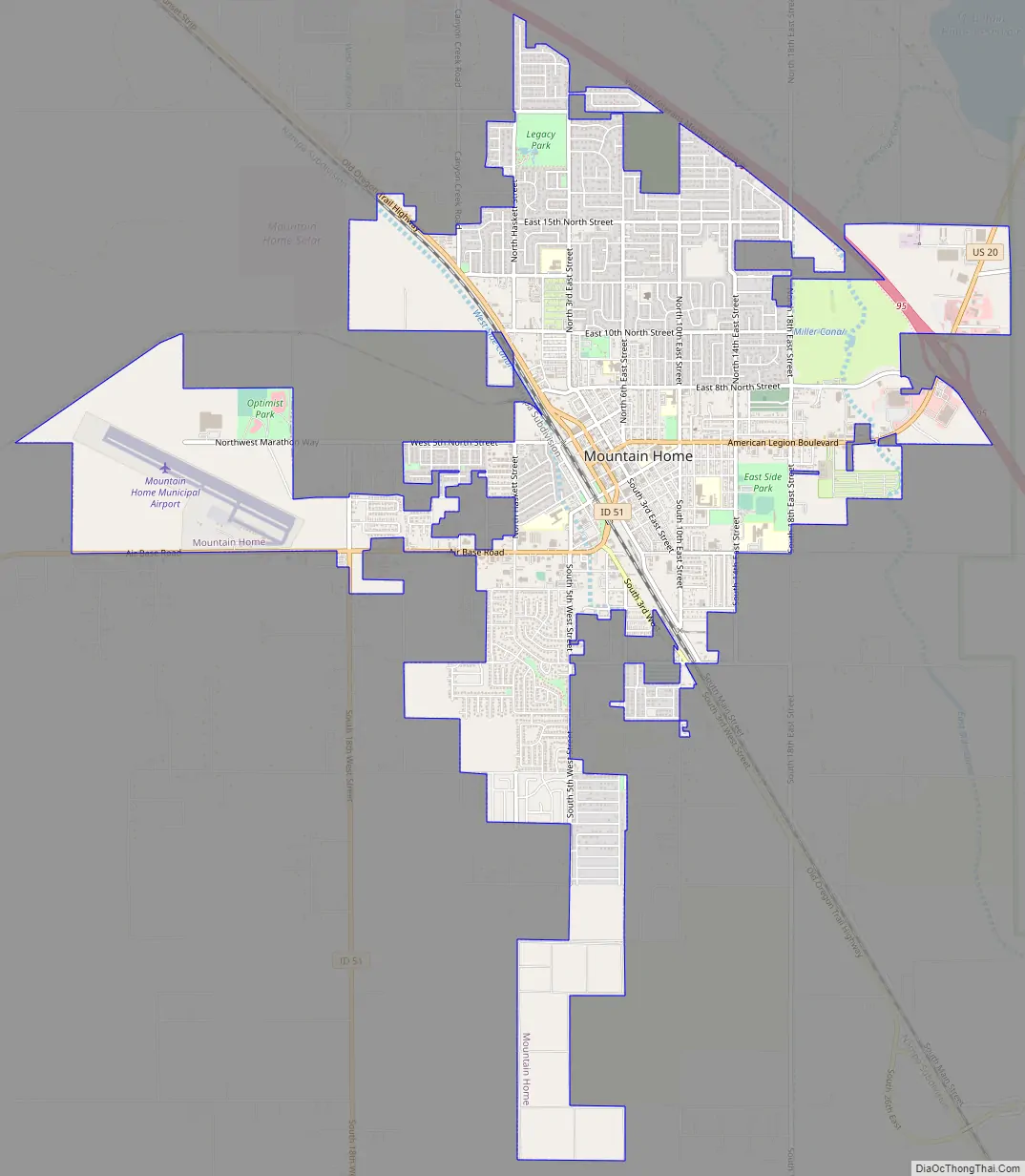
Mountain Home Road Map
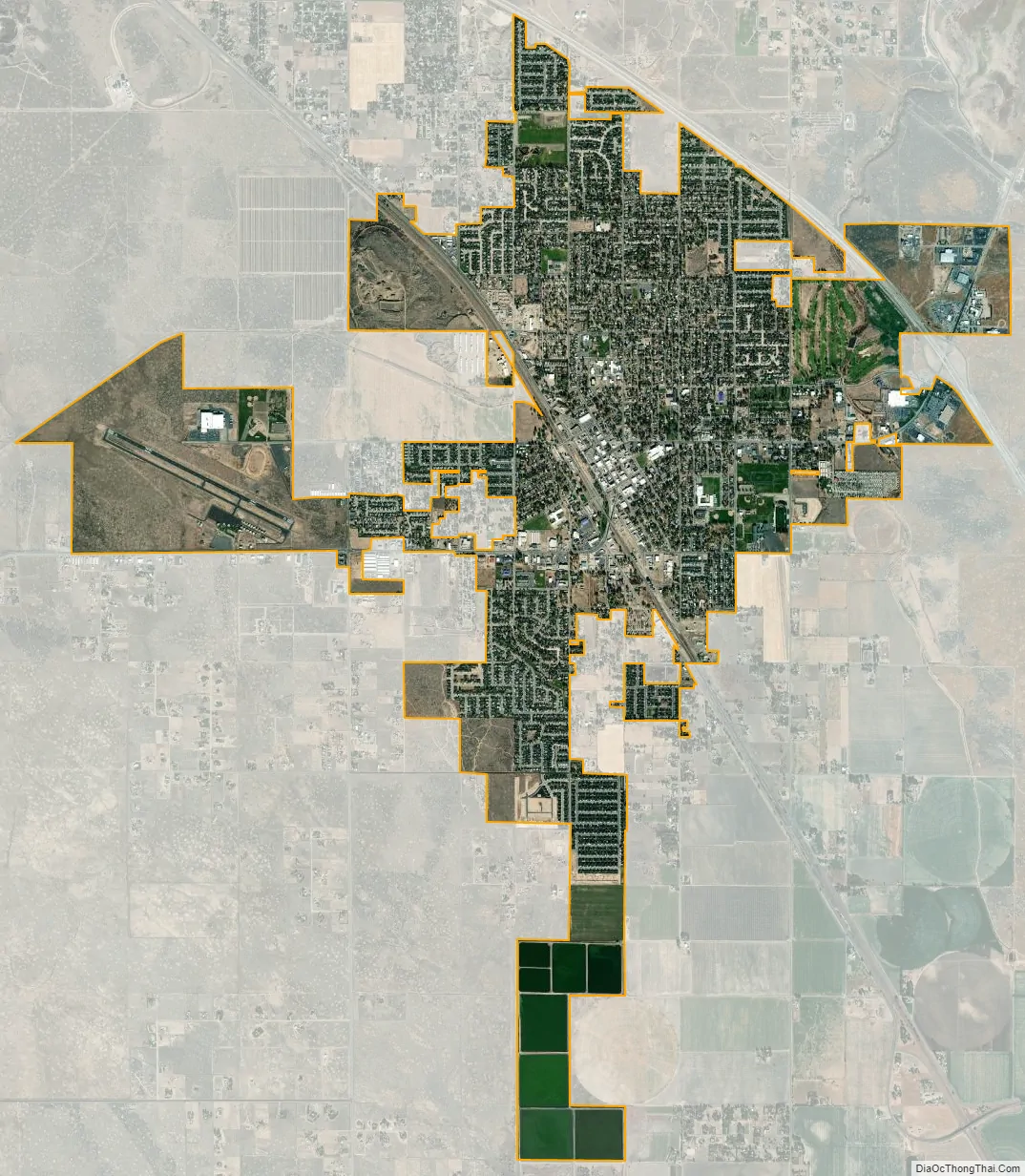
Mountain Home city Satellite Map
Geography
Mountain Home is located at 43°8′13″N 115°41′40″W / 43.13694°N 115.69444°W / 43.13694; -115.69444 (43.136812, -115.694474), at an elevation of 3,146 feet (959 m) above sea level.
According to the United States Census Bureau, the city has a total area of 6.36 square miles (16.47 km), of which 6.07 square miles (15.72 km) is land and 0.29 square miles (0.75 km) is water.
About 8 mi (13 km) to the northwest are the Crater Rings, a National Natural Landmark.
Mountain Home experiences a semi-arid climate (Köppen BSk) with short, cold winters and hot, dry summers.
Highways
- – Interstate 84 bypasses the city, running about a mile east; it links with Boise 45 miles (72 km) to the northwest and Twin Falls 86 miles (138 km) to the southeast.
- – US 20 splits from I-84 at exit 95, heading eastbound toward Fairfield and over to Idaho Falls in eastern Idaho.
- – US 26 and US 30 follow Interstate 84 through the city.
- – SH-51 heads south-southwest towards Bruneau and on to Elko, Nevada, changing to Nevada State Route 225 midway through the Duck Valley Indian Reservation.
- – SH-67 heads west-southwest toward the air base and on to Grand View via SH-167.
See also
Map of Idaho State and its subdivision:- Ada
- Adams
- Bannock
- Bear Lake
- Benewah
- Bingham
- Blaine
- Boise
- Bonner
- Bonneville
- Boundary
- Butte
- Camas
- Canyon
- Caribou
- Cassia
- Clark
- Clearwater
- Custer
- Elmore
- Franklin
- Fremont
- Gem
- Gooding
- Idaho
- Jefferson
- Jerome
- Kootenai
- Latah
- Lemhi
- Lewis
- Lincoln
- Madison
- Minidoka
- Nez Perce
- Oneida
- Owyhee
- Payette
- Power
- Shoshone
- Teton
- Twin Falls
- Valley
- Washington
- Alabama
- Alaska
- Arizona
- Arkansas
- California
- Colorado
- Connecticut
- Delaware
- District of Columbia
- Florida
- Georgia
- Hawaii
- Idaho
- Illinois
- Indiana
- Iowa
- Kansas
- Kentucky
- Louisiana
- Maine
- Maryland
- Massachusetts
- Michigan
- Minnesota
- Mississippi
- Missouri
- Montana
- Nebraska
- Nevada
- New Hampshire
- New Jersey
- New Mexico
- New York
- North Carolina
- North Dakota
- Ohio
- Oklahoma
- Oregon
- Pennsylvania
- Rhode Island
- South Carolina
- South Dakota
- Tennessee
- Texas
- Utah
- Vermont
- Virginia
- Washington
- West Virginia
- Wisconsin
- Wyoming