Franklin County (county code FR) is a county located in the eastern portion of the U.S. state of Kansas. As of the 2020 census, the county population was 25,996. Its county seat and most populous city is Ottawa. The county is predominantly rural. Formerly it was a part of the Kansas City metropolitan area, but was removed in 2013. However, it is still part of the Kansas City-Overland Park-Kansas City MO-KS CSA.
| Name: | Franklin County |
|---|---|
| FIPS code: | 20-059 |
| State: | Kansas |
| Founded: | August 25, 1855 |
| Named for: | Benjamin Franklin |
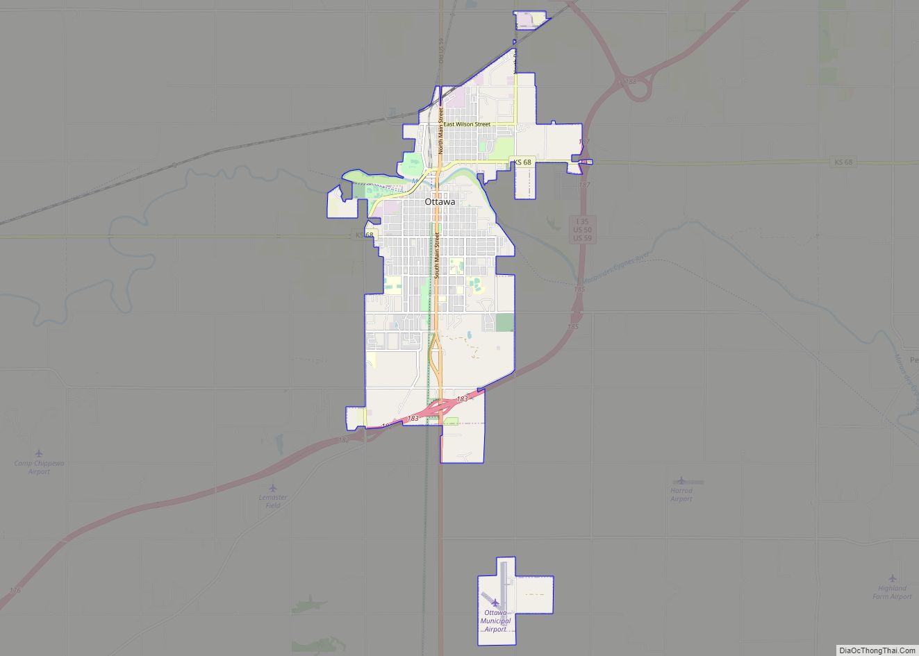
| Seat: | Ottawa |
| Largest city: | Ottawa |
| Total Area: | 577 sq mi (1,490 km²) |
| Land Area: | 572 sq mi (1,480 km²) |
| Total Population: | 25,996 |
| Population Density: | 45.4/sq mi (17.5/km²) |
| Time zone: | UTC−6 (Central) |
| Summer Time Zone (DST): | UTC−5 (CDT) |
| Website: | FranklinCoKS.org |
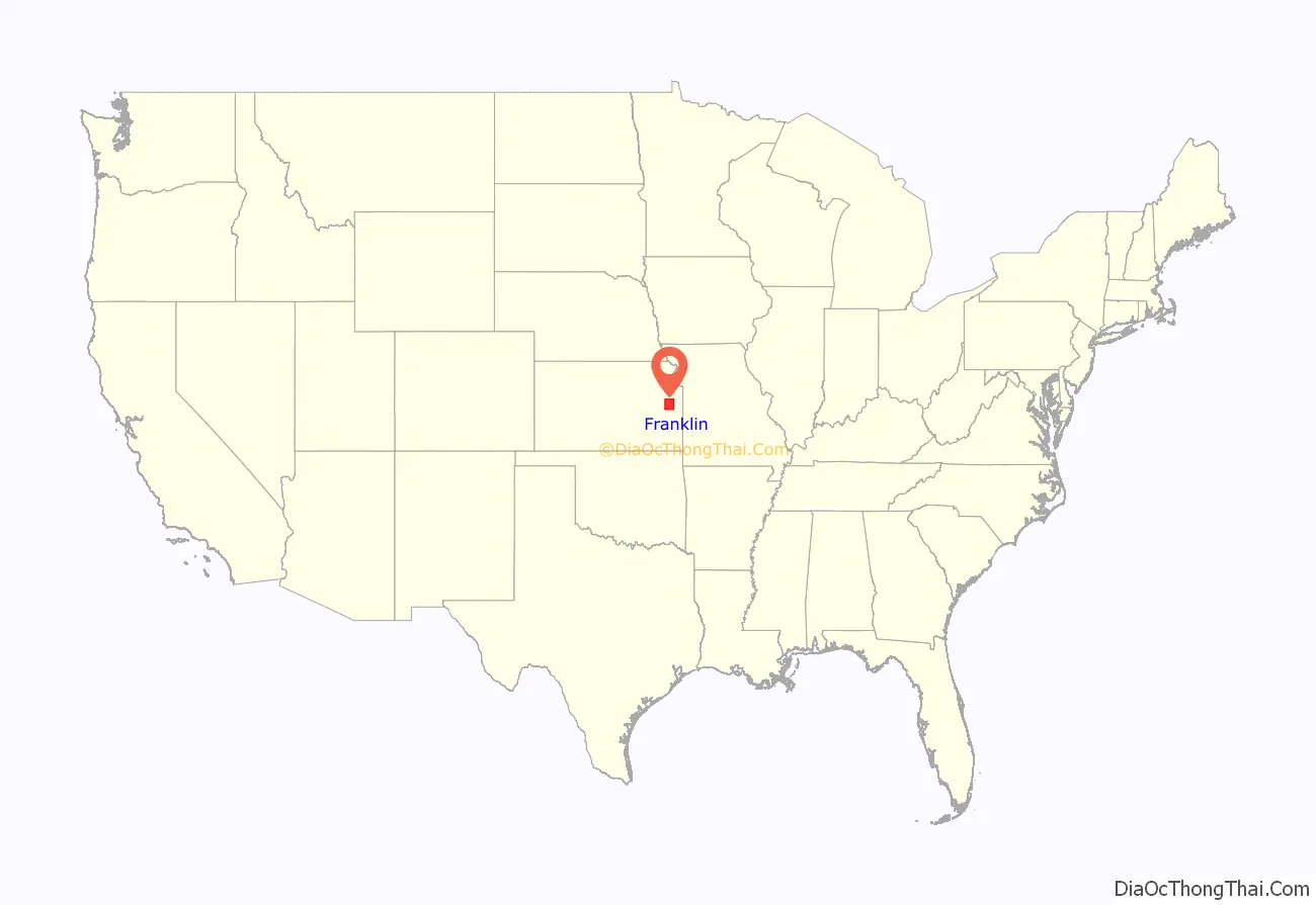
Franklin County location map. Where is Franklin County?
History
Early history
For many millennia, the Great Plains of North America was inhabited by nomadic Native Americans. From the 16th century to 18th century, the Kingdom of France claimed ownership of large parts of North America. In 1762, after the French and Indian War, France secretly ceded New France to Spain, per the Treaty of Fontainebleau.
19th century
In 1802, Spain returned most of the land to France, but keeping title to about 7,500 square miles. In 1803, most of the land for modern day Kansas was acquired by the United States from France as part of the 828,000 square mile Louisiana Purchase for 2.83 cents per acre.
The area was included in a treaty ceding land to the Osage Nation in 1808, and ceded back to the federal government in 1825. After 1825 and prior to 1867, treaties with various Indian nations set off parts of what was later to become Franklin County for the use of Indian tribes removed from their ancestral lands. These tribes included: Ottawa, Chippewa, Sac and Fox, Peoria, and Potawatomi.
In 1854, the Kansas Territory was organized under the provisions of the Kansas-Nebraska Act. In 1855, Franklin County was established as one of the 33 original Kansas Territory counties created by the first Territorial Legislature of 1855. The county was named after Benjamin Franklin. In 1861, Kansas became the 34th U.S. state.
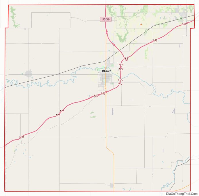
Franklin County Road Map
Geography
According to the U.S. Census Bureau, the county has a total area of 577 square miles (1,490 km), of which 572 square miles (1,480 km) is land and 5.4 square miles (14 km) (0.9%) is water.
Major highways
- Interstate 35
- U.S. Route 50
- U.S. Route 59
- K-33
- K-68
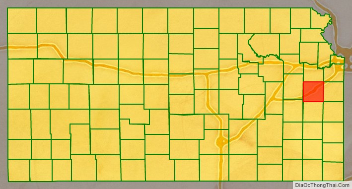
Adjacent counties
- Douglas County (north)
- Johnson County (northeast)
- Miami County (east)
- Linn County (southeast)
- Anderson County (south)
- Coffey County (southwest)
- Osage County (west)
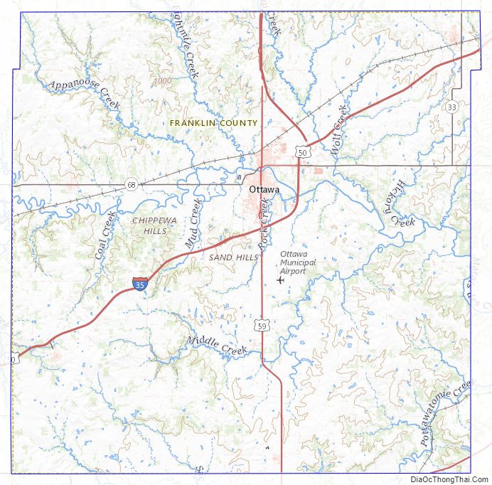
Franklin County Topographic Map
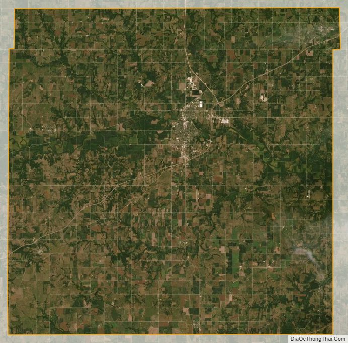
Franklin County Satellite Map
Franklin County Outline Map