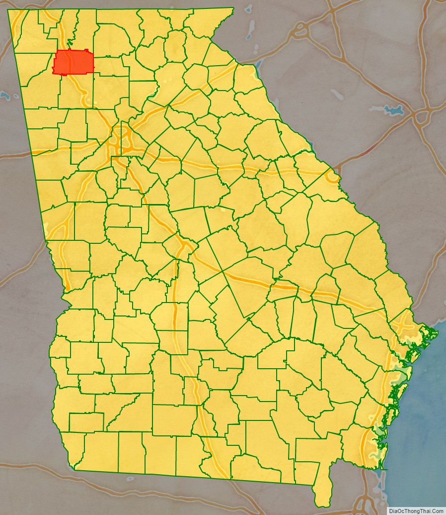
Gordon County is a county located in the northwestern part of the U.S. state of Georgia. As of the 2020 census, the population was 57,544. The county seat is Calhoun. Gordon County comprises the Calhoun, GA Micropolitan Statistical Area, which is included in the Atlanta-Athens-Clarke County-Sandy Springs, GA Combined Statistical Area.
| Name: | Gordon County |
|---|---|
| FIPS code: | 13-129 |
| State: | Georgia |
| Founded: | 1850 |
| Named for: | William Washington Gordon |
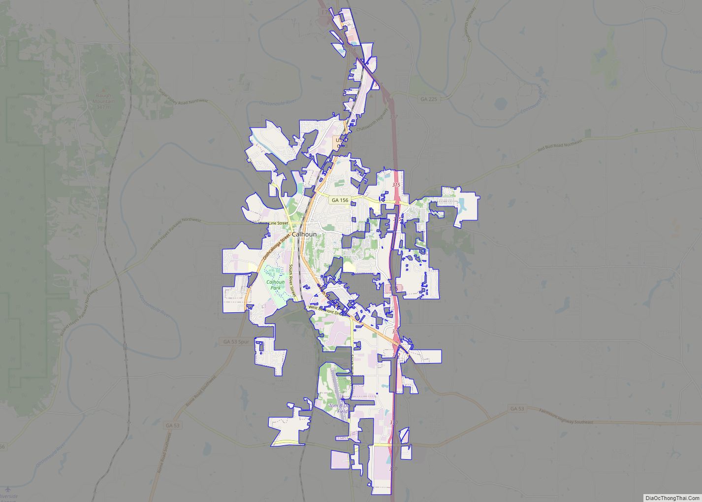
| Seat: | Calhoun |
| Largest city: | Calhoun |
| Total Area: | 358 sq mi (930 km²) |
| Land Area: | 356 sq mi (920 km²) |
| Total Population: | 57,544 |
| Population Density: | 162/sq mi (63/km²) |
| Time zone: | UTC−5 (Eastern) |
| Summer Time Zone (DST): | UTC−4 (EDT) |
| Website: | gordoncounty.org |
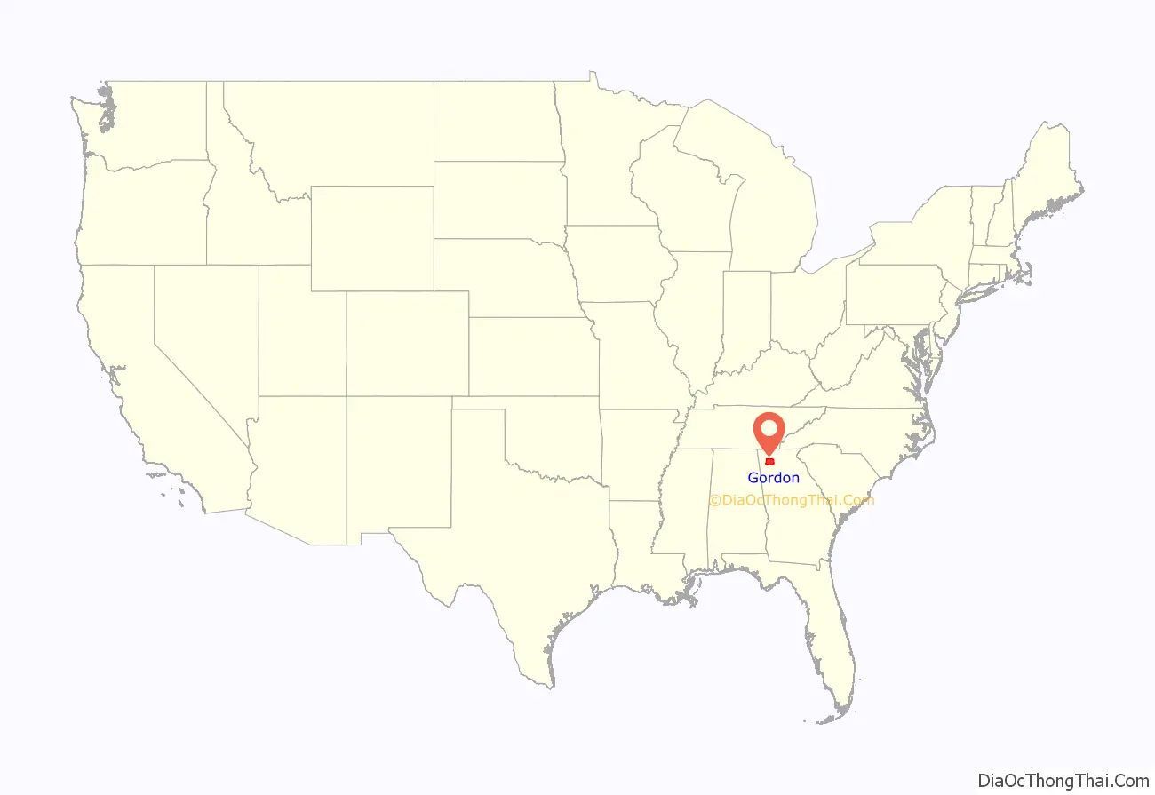
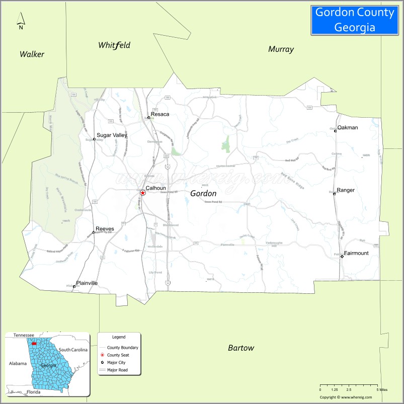
Gordon County location map. Where is Gordon County?
History
Gordon County was created on February 13, 1850 by an act of the Georgia General Assembly. The new county was formed from portions of Cass (later renamed Bartow) and Floyd counties. All lands that would become Gordon County were originally occupied by the Cherokee Indians—and, in fact, the area was home of New Echota, the last seat of the Cherokee Nation. Even while Cherokees remained on their homeland, the General Assembly enacted legislation in December 1830 that provided for surveying the Cherokee Nation in Georgia and dividing it into sections, districts, and land lots. Subsequently, the legislature identified this entire area as “Cherokee County” (even though it never functioned as a county). An act of December 3, 1832 divided the Cherokee lands into ten new counties—Cass (later renamed Bartow), Cherokee, Cobb, Floyd, Forsyth, Gilmer, Lumpkin, Murray, Paulding, and Union. Cherokee lands were distributed to whites in a land lottery, but the legislature temporarily prohibited whites from taking possession of lots on which Cherokees still lived.
It was not until December 29, 1835 that Georgia had an official basis for claiming the unceded Cherokee lands that included the future location of Gordon County. In the Treaty of New Echota, a faction of the Cherokees agreed to give up all Cherokee claims to land in Georgia, Alabama, Tennessee, and North Carolina and move west in return for $5 million. Though a majority of Cherokees opposed the treaty and refused to leave, the U.S. and Georgia considered it binding. In 1838, U.S. Army troops rounded up the last of 15,000 Cherokees in Georgia and forced them to march west in what came to be known as the “Trail of Tears”, making this area the starting point of the removal.
Gordon County’s original 1850 boundaries were changed numerous times between 1852 and 1877, during which time the legislature transferred portions of Cass (Bartow), Floyd, Murray, Pickens, and Walker counties to Gordon County, while transferring land from Gordon to Floyd and Murray counties.
Georgia’s 94th county was named for William Washington Gordon (1796–1842), the first Georgian to graduate from West Point and first president of the Central of Georgia Railroad.
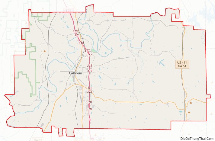
Gordon County Road Map
Geography
According to the U.S. Census Bureau, the county has a total area of 358 square miles (930 km), of which 356 square miles (920 km) is land and 2.2 square miles (5.7 km) (0.6%) is water.
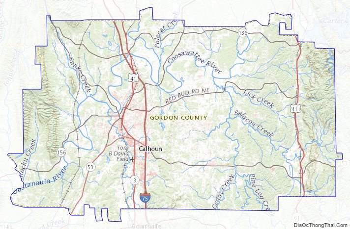
Mountains in Gordon County include Baugh Mountain and Horn Mountain.
The eastern half of Gordon County is located in the Coosawattee River sub-basin of the ACT River Basin (Coosa-Tallapoosa River Basin). Most of the western half of the county is located in the Oostanaula River sub-basin of the same larger ACT River Basin, while a small northerly portion of the county, between Resaca and Industrial City, is in the Conasauga River sub-basin of the ACT River Basin.
Major highways
- Interstate 75
- U.S. Route 41
- U.S. Route 411
- State Route 3
- State Route 53
- State Route 53 Spur
- State Route 61
- State Route 136
- State Route 136 Connector
- State Route 156
- State Route 225
- State Route 401 (unsigned designation for I-75)
Adjacent counties
- Murray County – north
- Whitfield County – north
- Gilmer County – northeast
- Pickens County – east
- Cherokee County – southeast
- Bartow County – south
- Floyd County – west
- Walker County – northwest
National protected area
- Chattahoochee National Forest (part)
Gordon County Topographic Map
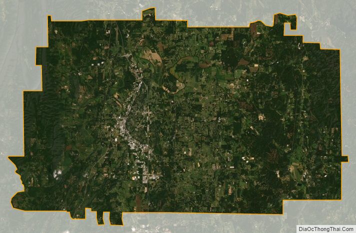
Gordon County Satellite Map
Gordon County Outline Map