Fairmount is a city in Gordon County, Georgia, United States. As of the 2010 census it had a population of 720. Gordon County is home to New Echota, which was once the Cherokee Nation’s capital. It was the origin of the Cherokee written language and newspaper, the Cherokee Phoenix.
The city is located near the southern end of the Blue Ridge Mountains and Chattahoochee National Forest.
| Name: | Fairmount city |
|---|---|
| LSAD Code: | 25 |
| LSAD Description: | city (suffix) |
| State: | Georgia |
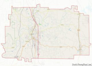
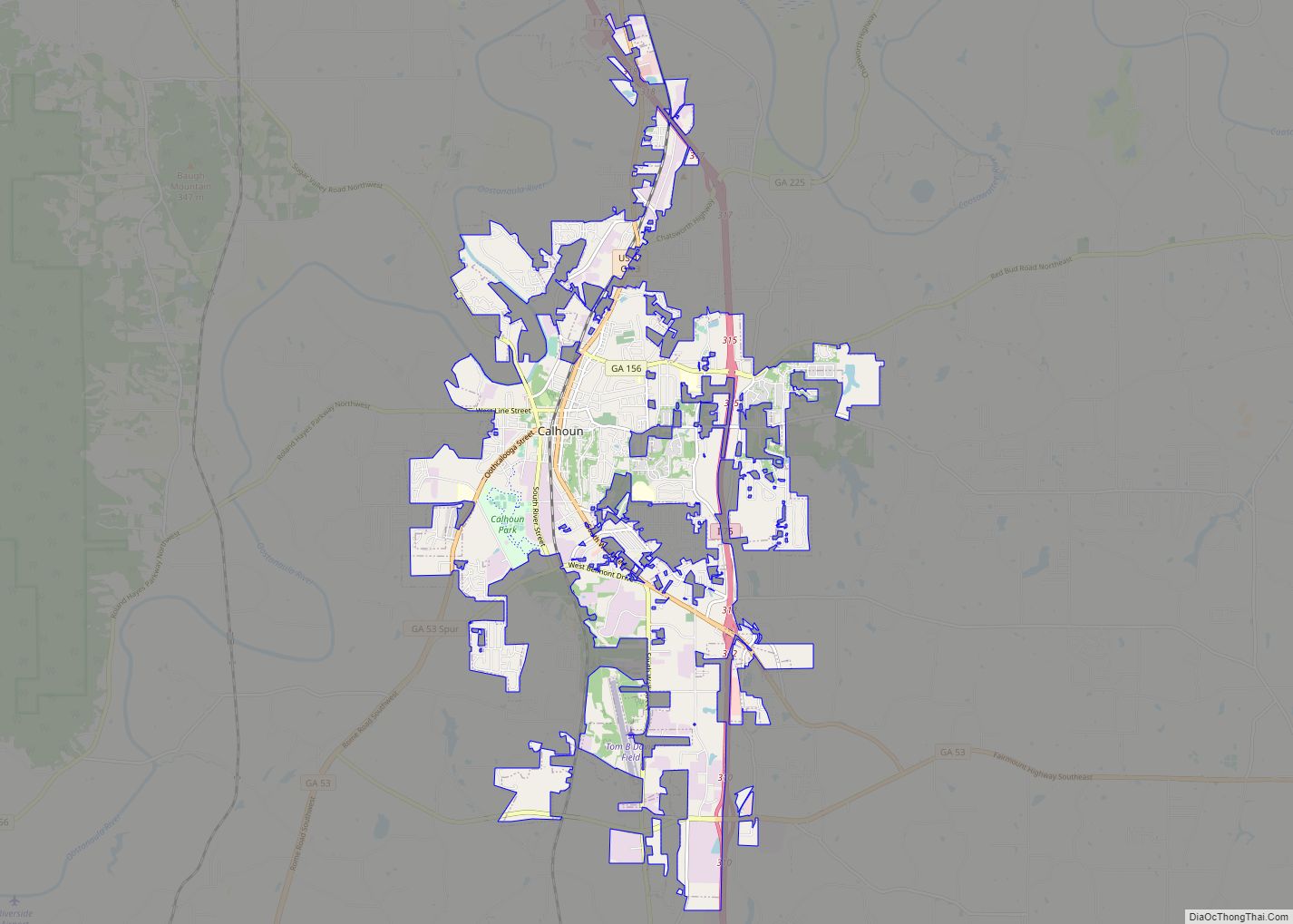
| County: | Gordon County |
| Elevation: | 745 ft (227 m) |
| Total Area: | 1.83 sq mi (4.73 km²) |
| Land Area: | 1.83 sq mi (4.73 km²) |
| Water Area: | 0.00 sq mi (0.00 km²) |
| Total Population: | 772 |
| Population Density: | 422.78/sq mi (163.22/km²) |
| ZIP code: | 30139 |
| Area code: | 706/762 and 770/678/470 |
| FIPS code: | 1328492 |
| GNISfeature ID: | 0355758 |
| Website: | fairmountga.gov |
Online Interactive Map
Click on ![]() to view map in "full screen" mode.
to view map in "full screen" mode.
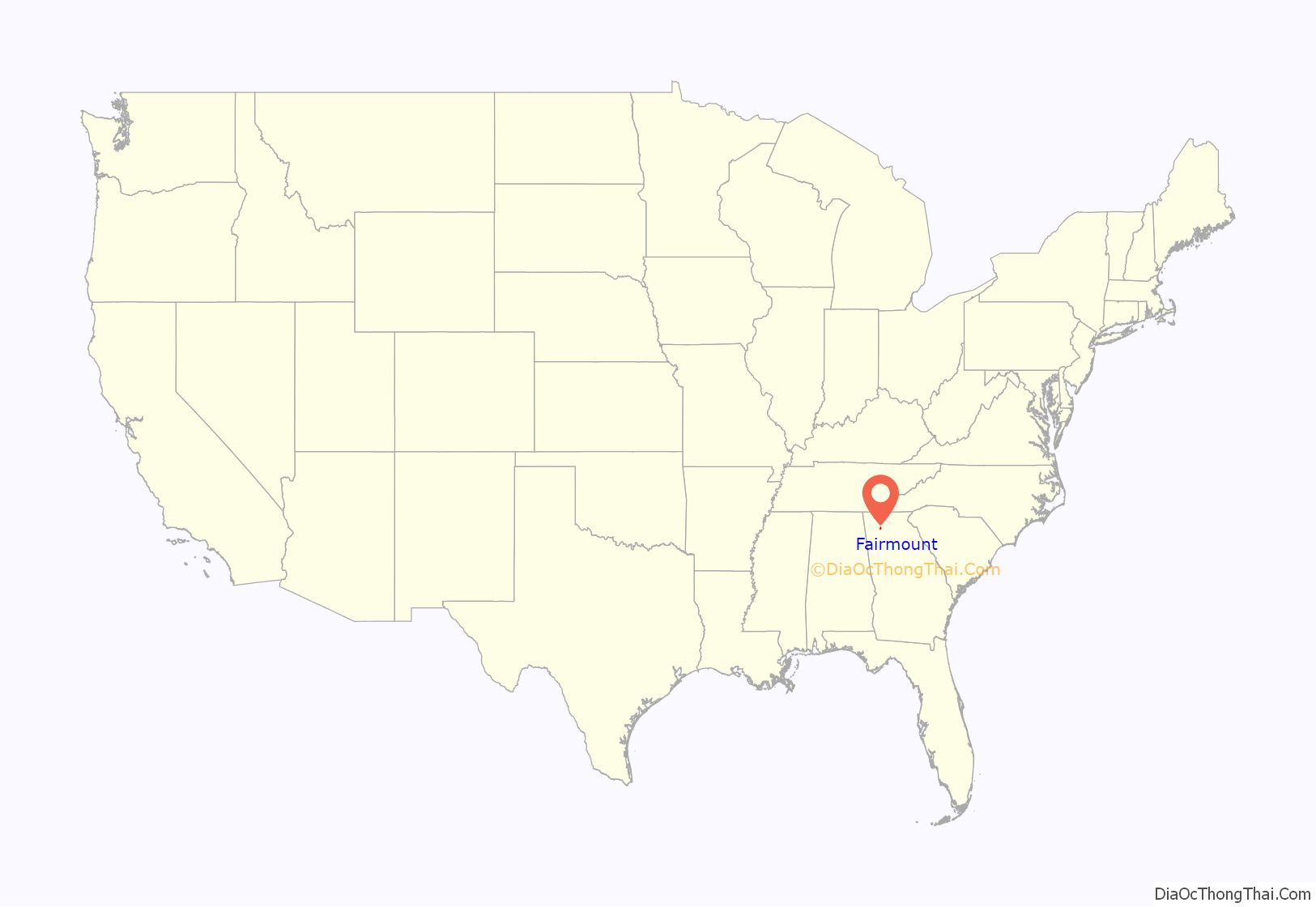
Fairmount location map. Where is Fairmount city?

History
A post office called Fairmount has been in operation since 1850. The city was named after Fairmont, West Virginia.
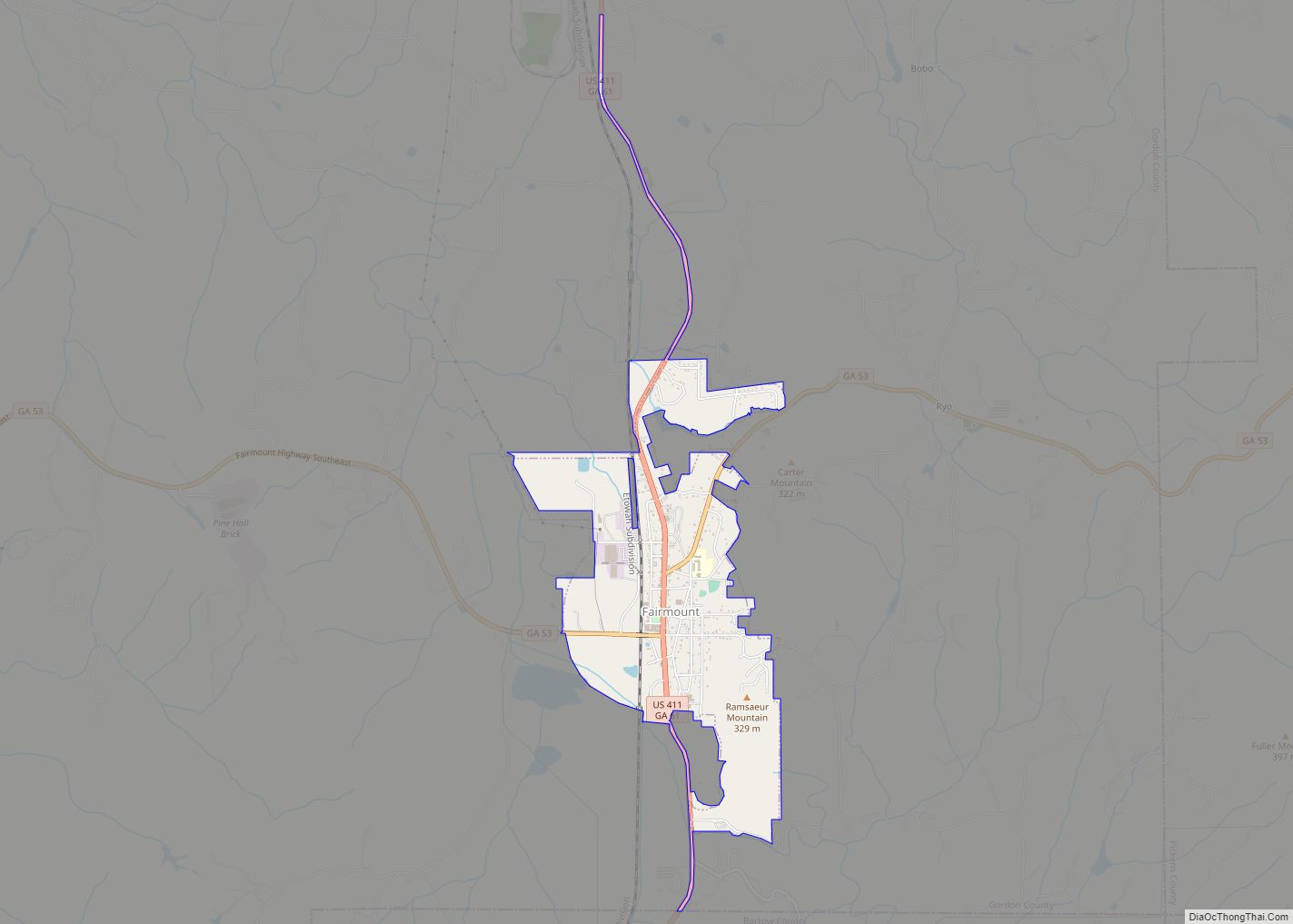
Fairmount Road Map

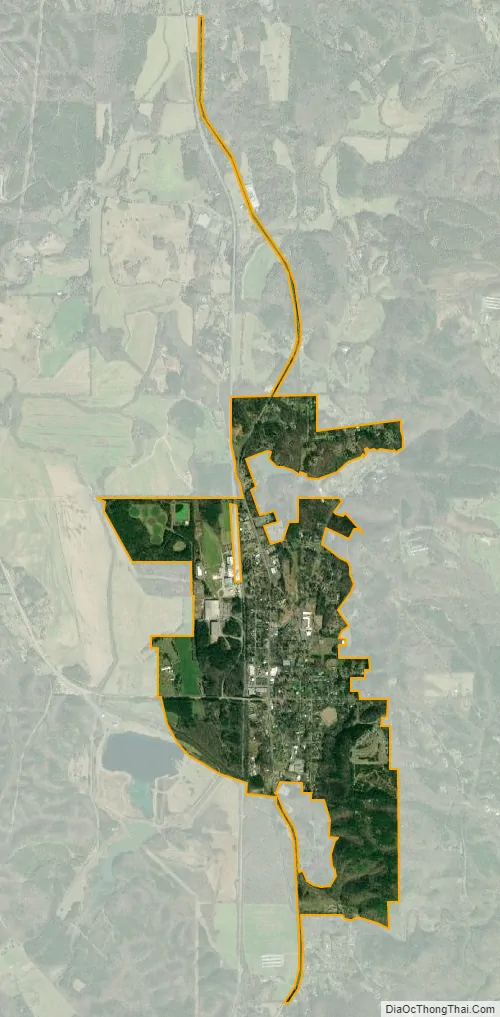
Fairmount city Satellite Map
Geography
Fairmount is located in southeastern Gordon County at 34°26′19″N 84°41′58″W / 34.43861°N 84.69944°W / 34.43861; -84.69944 (34.438510, -84.699371), in the valley of Salacoa Creek, a northwest-flowing tributary of the Coosawattee River. U.S. Route 411 runs through the center of town as Salacoa Avenue, leading north 24 miles (39 km) to Chatsworth and south 21 miles (34 km) to Cartersville. Georgia State Route 53 crosses US 411 in Fairmount, leading east 18 miles (29 km) to Jasper and west 17 miles (27 km) to Calhoun, the Gordon County seat.
According to the United States Census Bureau, Fairmount has a total area of 1.8 square miles (4.6 km), all land.
See also
Map of Georgia State and its subdivision:- Appling
- Atkinson
- Bacon
- Baker
- Baldwin
- Banks
- Barrow
- Bartow
- Ben Hill
- Berrien
- Bibb
- Bleckley
- Brantley
- Brooks
- Bryan
- Bulloch
- Burke
- Butts
- Calhoun
- Camden
- Candler
- Carroll
- Catoosa
- Charlton
- Chatham
- Chattahoochee
- Chattooga
- Cherokee
- Clarke
- Clay
- Clayton
- Clinch
- Cobb
- Coffee
- Colquitt
- Columbia
- Cook
- Coweta
- Crawford
- Crisp
- Dade
- Dawson
- Decatur
- DeKalb
- Dodge
- Dooly
- Dougherty
- Douglas
- Early
- Echols
- Effingham
- Elbert
- Emanuel
- Evans
- Fannin
- Fayette
- Floyd
- Forsyth
- Franklin
- Fulton
- Gilmer
- Glascock
- Glynn
- Gordon
- Grady
- Greene
- Gwinnett
- Habersham
- Hall
- Hancock
- Haralson
- Harris
- Hart
- Heard
- Henry
- Houston
- Irwin
- Jackson
- Jasper
- Jeff Davis
- Jefferson
- Jenkins
- Johnson
- Jones
- Lamar
- Lanier
- Laurens
- Lee
- Liberty
- Lincoln
- Long
- Lowndes
- Lumpkin
- Macon
- Madison
- Marion
- McDuffie
- McIntosh
- Meriwether
- Miller
- Mitchell
- Monroe
- Montgomery
- Morgan
- Murray
- Muscogee
- Newton
- Oconee
- Oglethorpe
- Paulding
- Peach
- Pickens
- Pierce
- Pike
- Polk
- Pulaski
- Putnam
- Quitman
- Rabun
- Randolph
- Richmond
- Rockdale
- Schley
- Screven
- Seminole
- Spalding
- Stephens
- Stewart
- Sumter
- Talbot
- Taliaferro
- Tattnall
- Taylor
- Telfair
- Terrell
- Thomas
- Tift
- Toombs
- Towns
- Treutlen
- Troup
- Turner
- Twiggs
- Union
- Upson
- Walker
- Walton
- Ware
- Warren
- Washington
- Wayne
- Webster
- Wheeler
- White
- Whitfield
- Wilcox
- Wilkes
- Wilkinson
- Worth
- Alabama
- Alaska
- Arizona
- Arkansas
- California
- Colorado
- Connecticut
- Delaware
- District of Columbia
- Florida
- Georgia
- Hawaii
- Idaho
- Illinois
- Indiana
- Iowa
- Kansas
- Kentucky
- Louisiana
- Maine
- Maryland
- Massachusetts
- Michigan
- Minnesota
- Mississippi
- Missouri
- Montana
- Nebraska
- Nevada
- New Hampshire
- New Jersey
- New Mexico
- New York
- North Carolina
- North Dakota
- Ohio
- Oklahoma
- Oregon
- Pennsylvania
- Rhode Island
- South Carolina
- South Dakota
- Tennessee
- Texas
- Utah
- Vermont
- Virginia
- Washington
- West Virginia
- Wisconsin
- Wyoming