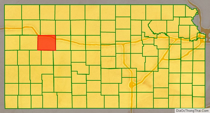
Gove County (county code GO) is a county in the U.S. state of Kansas. As of the 2020 census, the county population was 2,718. Its county seat is Gove City, and its most populous city is Quinter.
| Name: | Gove County |
|---|---|
| FIPS code: | 20-063 |
| State: | Kansas |
| Founded: | March 11, 1868 |
| Named for: | Grenville L. Gove |
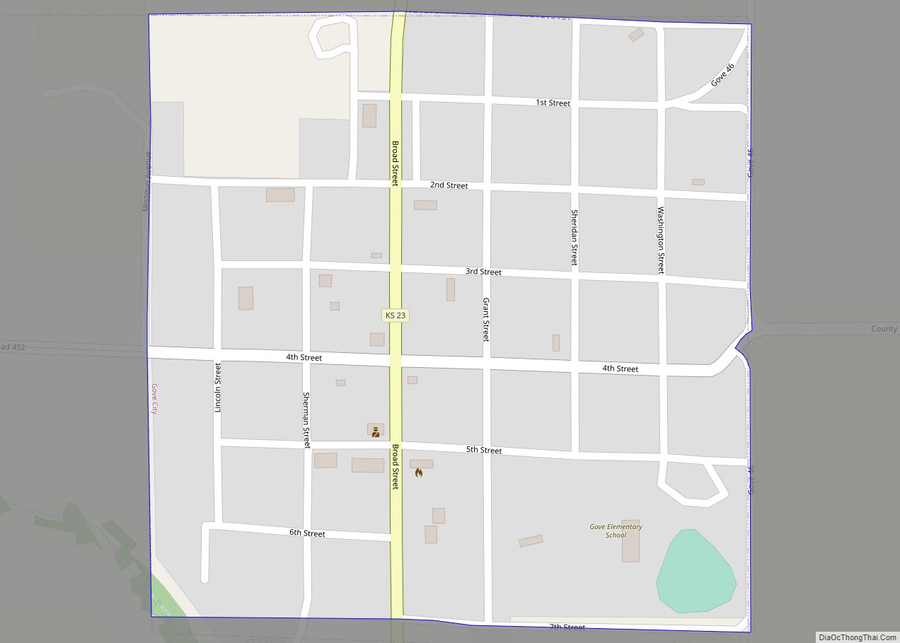
| Seat: | Gove City |
| Largest city: | Quinter |
| Total Area: | 1,072 sq mi (2,780 km²) |
| Land Area: | 1,072 sq mi (2,780 km²) |
| Total Population: | 2,718 |
| Population Density: | 2.5/sq mi (1.0/km²) |
| Time zone: | UTC−6 (Central) |
| Summer Time Zone (DST): | UTC−5 (CDT) |
| Website: | govecountyks.org |
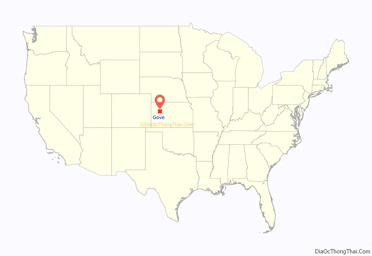
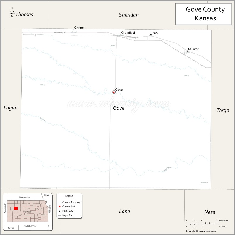
Gove County location map. Where is Gove County?
History
Early history
Eighty million years ago, Gove County was part of an ancient inland sea known as the Western Interior Seaway. Many students still visit the Castle Rock Badlands today to explore fossils and find clues about the origins, and potentially future, of life on Earth.
For many millennia, the Great Plains of North America was inhabited by nomadic Native Americans. From the 16th century to 18th century, the Kingdom of France claimed ownership of large parts of North America. In 1762, after the French and Indian War, France secretly ceded New France to Spain, per the Treaty of Fontainebleau.
19th century
In 1802, Spain returned most of the land to France, but keeping title to about 7,500 square miles. In 1803, most of the land for modern day Kansas was acquired by the United States from France as part of the 828,000 square mile Louisiana Purchase for 2.83 cents per acre.
In 1854, the Kansas Territory was organized, then in 1861 Kansas became the 34th U.S. state. In 1868, Gove County was established and named for Granville Llewellyn Gove, member of the 11th Regiment Kansas Volunteer Cavalry, and son of Moses Gove, a former mayor of Manhattan, Kansas.
21st century
In 2020, USA Today profiled Gove County during the COVID-19 pandemic in the United States and called it the “deadliest place in America” due to it having the highest death rate from COVID-19 compared to any other county in the nation: 1 out of every 132 people. The first deaths were reported on October 7; as of November 2020, 20 residents died from the virus, and 314 other positive cases were reported. The article attributed the high death rate to predominant public opposition towards wearing face masks, doubts over the pandemic’s severity, and the county’s high median age, all of which left residents highly vulnerable.
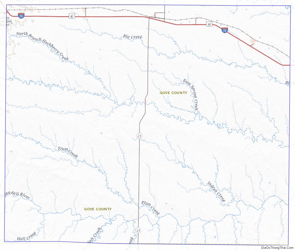
Gove County Road Map
Geography
According to the U.S. Census Bureau, the county has an area of 1,072 square miles (2,780 km), of which 1,072 square miles (2,780 km) is land and 0.1 square miles (0.26 km) (0.01%) is water.
Adjacent counties
- Sheridan County (north)
- Graham County (northeast)
- Trego County (east)
- Ness County (southeast)
- Lane County (south)
- Scott County (southwest)
- Logan County (west)
- Thomas County (northwest)
Gove County Topographic Map
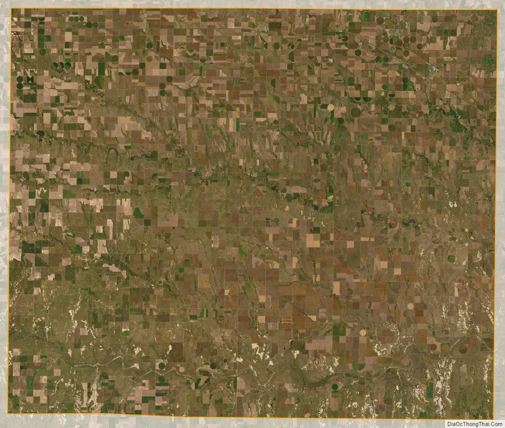
Gove County Satellite Map
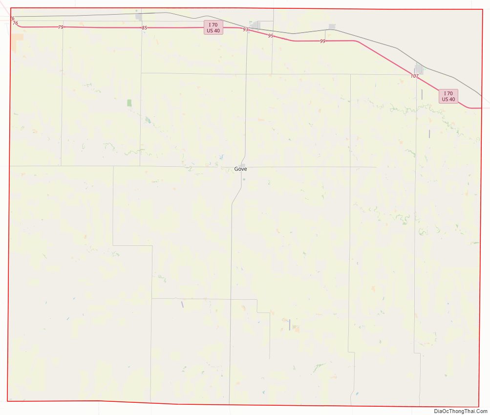
Gove County Outline Map